


Granite Bay Main Beach
Granite Bay, California
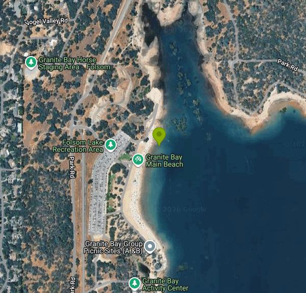
| GPS: |
38°45'25.6"N 121°8'45.2"W Maps | Directions |
| State: | California |
Canoe, Hike, Kayak, and Swim
Granite Bay is the southwest corner of Folsom Lake State Recreation Area and the closest real beach to Sacramento. Douglas Boulevard runs east out of Roseville and ends at the entrance kiosk, and past it a set of large paved lots steps down toward a long crescent of sand that is the biggest developed beach on the lake. On a hot Saturday in July the lots are full by ten in the morning and the parking attendants turn cars away, which tells you most of what you need to know about how the Sacramento valley treats a hundred degree afternoon.
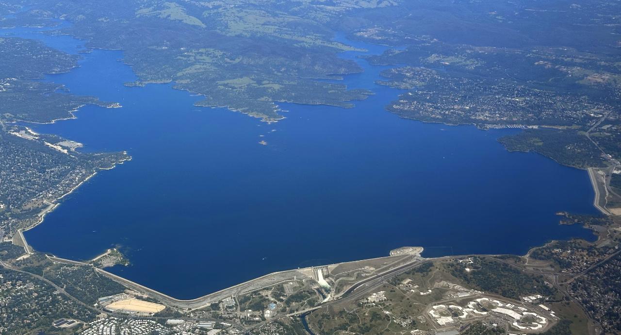
The lake behind the beach was made by Folsom Dam, which the Bureau of Reclamation completed in 1955 across the American River for flood control, water supply and power. At full pool it covers about 11,450 acres with something like 75 miles of shoreline, filling the canyons of the North and South forks of the American. California State Parks runs the recreation area, and lifeguards staff the Granite Bay beach during the summer season, which is unusual for this lake; most of the other shoreline access here is unguarded.
There is a day use fee per vehicle, generally in the range of ten to fourteen dollars depending on season, collected at the kiosk. The beach has restrooms, changing facilities, shade ramadas, picnic sites with grills and a snack concession in peak season, and the Granite Bay boat launch is just south of it with lanes that stay usable later into the drawdown than the ramps at Brown's Ravine or Folsom Point. Boats entering the lake go through a quagga and zebra mussel inspection, so allow time if you are trailering.
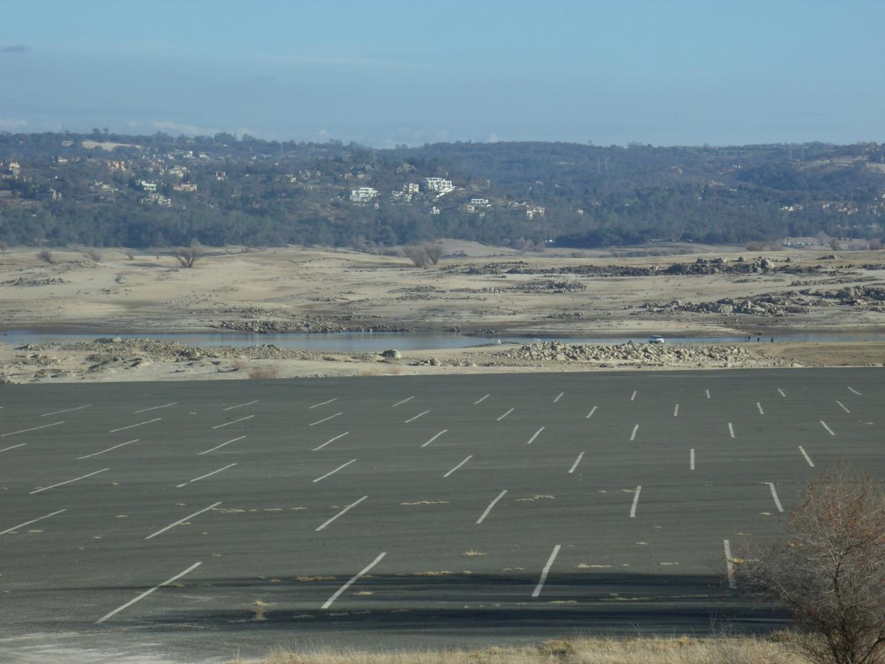
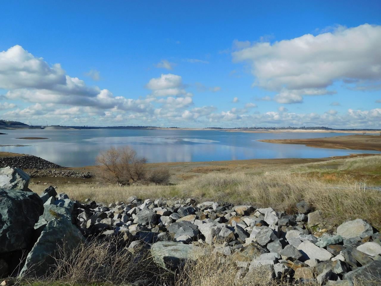
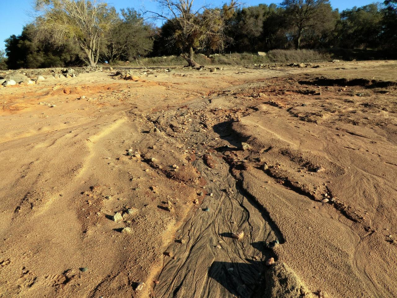
Water level is the thing to check before you come. Folsom is a working flood control reservoir with a large seasonal swing, and in a dry year the lake can drop far enough that the waterline retreats hundreds of yards from the developed beach, leaving a walk across cracked lakebed, exposed stumps and old foundations to reach water. Several of the widely circulated photographs of Granite Bay show exactly that, taken in the drought years. In a normal spring the lake fills and the beach is as advertised. The state parks conditions page and the Reclamation daily reservoir report both post the current elevation.
The water is American River snowmelt held over from spring, so it starts cold and warms through the season into the mid 70s by August, clear over a sand and decomposed granite bottom. The bay itself is broad and shallow near shore, which makes it reasonable for kids inside the swim area, and afternoon wind kicks up a light chop.
The land side is worth an hour too. The Pioneer Express Trail runs from Granite Bay along the lake's western shore, open to hikers, runners and horses, and links south into the American River Parkway system that continues toward Sacramento. Beeks Bight, just north of the main beach, has oak woodland, spring wildflowers and quieter shoreline coves, and the ridge behind the beach gives a long view east to the Sierra foothills and, on a clear winter day, the snow line beyond.
More Information
Folsom Lake State Recreation Area - Wikipedia
The Folsom Lake State Recreation Area surrounds Folsom Lake in the foothills of the Sierra Nevada. The majority of it is owned by the U.S. Bureau of Reclamation and is managed by the California Department of Parks and Recreation.[1] It is located near the city of Folsom, California, about 25 miles (40 km) east of Sacramento.
https://en.wikipedia.org/wiki/Folsom_Lake_State_Recreation_AreaBe courteous, informed, and prepared. Read trailhead guidelines, stay on the trail, and don't feed the wildlife.
Read More
- Plan Ahead and Prepare
- Travel & camp on durable surfaces
- Dispose of waste properly
- Leave what you find
- Minimize campfire impacts
- Respect wildlife
- Be considerate of other visitors
Directions
From Granite Bay, California
- Head north on Auburn Folsom Rd (0.2 mi)
- Turn left onto Cavitt Stallman Rd (1.6 mi)
- Turn left onto Barton Rd (1.0 mi)
- Turn left to stay on Barton Rd (0.7 mi)
- Turn left onto Douglas BlvdPass by Taco Bell (on the left in 0.9 mi)(2.2 mi)
- Douglas Blvd turns slightly right and becomes Park Rd (0.3 mi)
- Turn right (95 ft)
- Turn left (0.2 mi)
- Turn right (190 ft)
- Turn left (404 ft)
- Continue straight (0.1 mi)
- Turn leftDestination will be on the right(0.2 mi)
 Folsom Lake from the air at high water, with the dam and the city beyond courtesy of Gamesyns↗ (CC BY-SA 4.0↗)
 The large paved day use parking area on the rise above Granite Bay courtesy of Noah_Loverbear↗ (CC BY-SA 3.0↗)
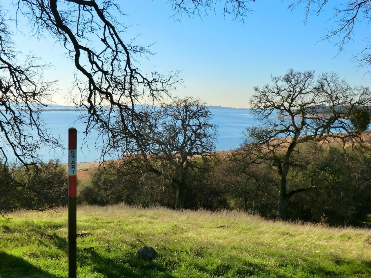
 Oaks over the shoreline with green spring grass courtesy of UncleVinny↗ (CC BY 3.0↗)
 The lake at low water, riprap bank under a clouded sky courtesy of Vince Migliore↗ (CC BY 3.0↗)
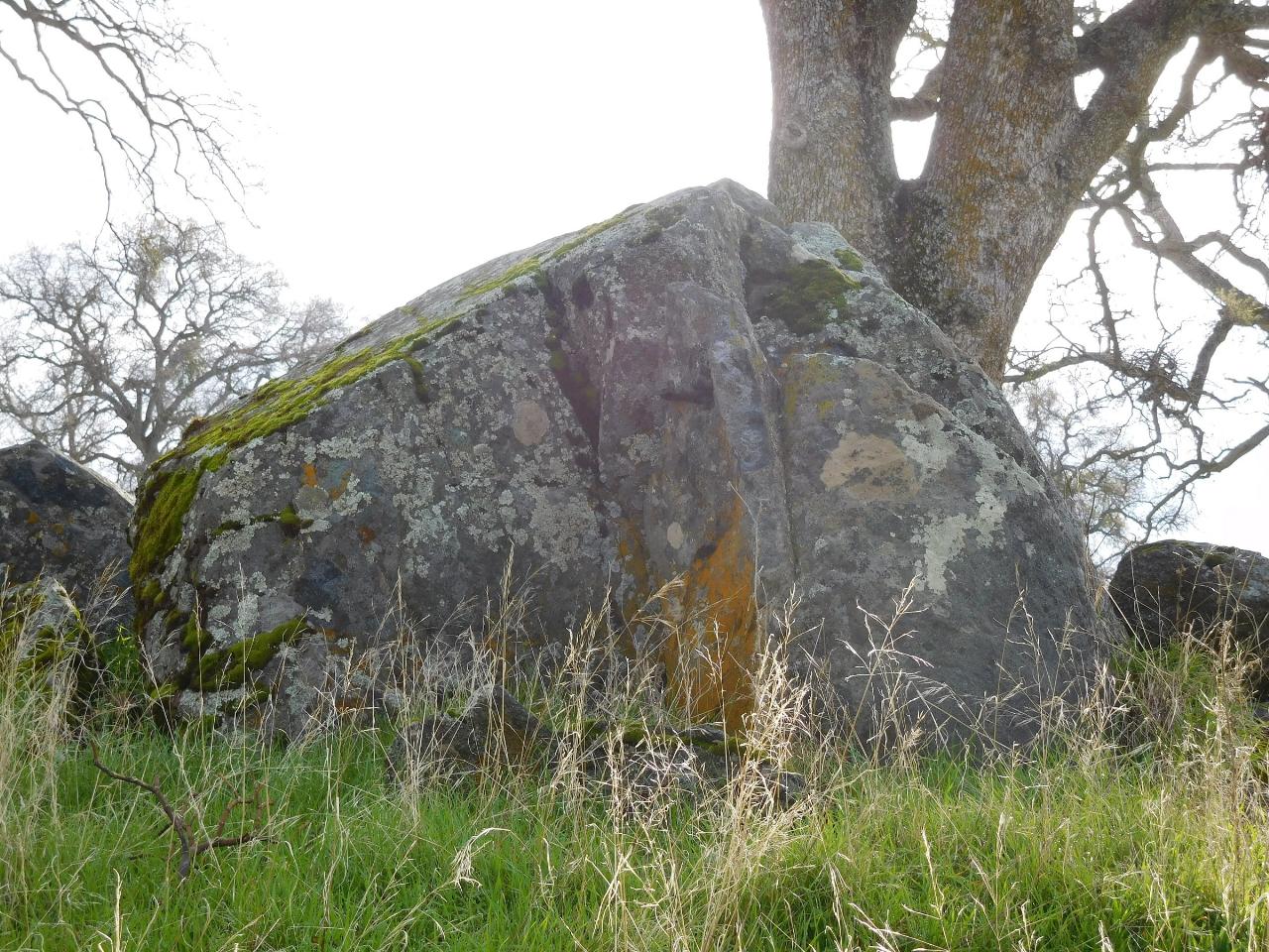
 A granite boulder and oak along the shoreline trail courtesy of Vince Migliore↗ (CC BY 3.0↗)
 Exposed lakebed and oaks during a drawdown year courtesy of UncleVinny↗ (CC BY 3.0↗)
Other Swimming Holes, Hiking Trails, Canoeing Areas, and Kayaking Areas Nearby

American River Confluence
Auburn, California
12.4 miles NEThe Confluence — where the North and Middle Forks of the American River meet below Foresthill Bridge — is Auburn's favorite swimming and rafting hub.
Hike, Horseback, Kayak, Rock Climb, Swim, Whitewater 1.2-2.7 mi
Lake Clementine Trail Loop
Auburn, California
12.5 miles NEFour connected trails loop around Lake Clementine on the North Fork American River — wheelchair accessible, pet friendly, and great for fishing, camping, and family summer outings.
Camp, Canoe, Hike, Kayak, Mountain Bike, Swim 5.6 mi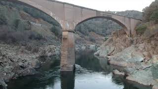
Quarry Trail
Cool, California
12.8 miles NEA riverside hike along an old limestone railway line to a dramatic amphitheater quarry — wildflowers peak April through June, and the historic railway story (scrap metal for WWII) adds a fascinating layer.
Hike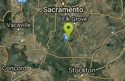
Cosumnes River Preserve
Galt, California
37.5 miles SWA 45,859-acre wildlife habitat and agricultural preserve centered on the Cosumnes River near Galt — supporting Pacific Flyway migrating birds and varied riparian habitats.
Canoe, Hike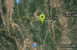
Sutter National Wildlife Refuge
Meridian, California
39.9 miles NWA 2,600-acre Sacramento Valley wildlife refuge 50 miles north of Sacramento, managing wetland impoundments and riparian habitat as critical wintering grounds for waterfowl.
Hike 0.1 mi
Edwards Crossing
Nevada City, California
40.5 miles NDeep blue water, rock cliffs, and a sandy beach on the Yuba River — with a half-mile walk from the parking lot and cliff jumping spots up to 20 feet deep.
Hike, Swim
North Fork Falls
Colfax, California
42.8 miles NEClear water, cliff-jumping pools, and waterfalls at Sierra Nevada's North Fork Falls — a summer hike to two deep pools with 10-to-25-foot cliffs ready for leaping.
Camp, Hike, Swim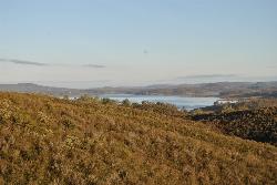
New Hogan Lake
Valley Springs, California
44.0 miles SENew Hogan Lake is a 4,400-acre reservoir tucked into the golden Sierra Nevada foothills of Calaveras County, California, about 30 miles northeast of Stockton near the little town of Valley Springs....
Backpack, Camp, Hike, SwimNearby Campsites
Lake Clementine Trail Loop
Auburn, California
12.5 miles NEFour connected trails loop around Lake Clementine on the North Fork American River — wheelchair accessible, pet friendly, and great for fishing, camping, and family summer outings.
Camp, Canoe, Hike, Kayak, Mountain Bike, Swim
North Fork Falls
Colfax, California
42.8 miles NEClear water, cliff-jumping pools, and waterfalls at Sierra Nevada's North Fork Falls — a summer hike to two deep pools with 10-to-25-foot cliffs ready for leaping.
Camp, Hike, Swim
New Hogan Lake
Valley Springs, California
44.0 miles SENew Hogan Lake is a 4,400-acre reservoir tucked into the golden Sierra Nevada foothills of Calaveras County, California, about 30 miles northeast of Stockton near the little town of Valley Springs....
Backpack, Camp, Hike, Swim


