


Upper Lake Clementine
Auburn
Canoe, Kayak, and Swim
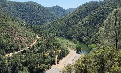
Upper Lake Clementine is the day-use swim area at the upstream end of Lake Clementine, the reservoir behind North Fork Dam on the North Fork of the American River. It sits inside Auburn State Recreation Area, which California State Parks runs on U.S. Bureau of Reclamation land under a managing partnership agreement. The dam is roughly three miles downstream, and the upper area is a separate unit from the boat ramp and marina at Lower Lake Clementine, with its own road and entrance.
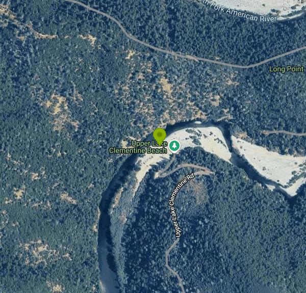
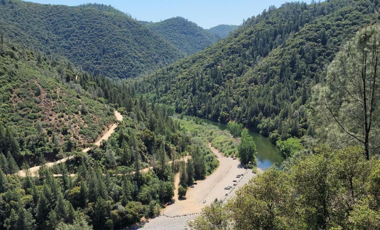
From Interstate 80 in Auburn, take the Foresthill exit and follow Foresthill Road about 5.5 miles, then turn left on Upper Lake Clementine Road. A dirt access road drops roughly two miles down the canyon wall in switchbacks to a gravel lot at the water, and State Parks recommends high-clearance vehicles. The lot holds about 150 cars. From Memorial Day weekend through Labor Day weekend a day-use vehicle reservation is required on Saturdays and Sundays and is strongly recommended on weekdays, booked through LAZ Parking. Booking opens 10 days ahead at 8 a.m. and closes two days before your visit, and same-day reservations are not taken. Weekend visitors without one are turned away at the gate.
The beach is a broad strip of large, rounded river cobble along the south shore, right next to the parking lot, at the point where the North Fork slows and becomes reservoir. Water shoes help on the stones. Conditions shift through the season: early summer can bring noticeable current and cold snowmelt, while late summer is usually calmer and warmer. Powerboats are banned from marked buoys three miles above the dam all the way up to the day-use area, and trailered launching is never allowed here, so the upper lake stays quiet for swimmers, kayaks, canoes and paddleboards. State Parks lists no lifeguard service at this beach.
Parking is $10 per vehicle per day, a State Parks fee, and California State Parks annual and discount passes are honored. Whether LAZ adds its own booking charge on top could not be confirmed. The area is open weekends only from April 15 to April 30, daily from May 1 through September 30, and weekends only again from October 1 to 14. It closes for winter on October 15 and reopens after April 15 depending on road conditions. Daily hours are 8 a.m. to 6:30 p.m., and every vehicle must be out by 7 p.m. Dogs, glass containers and alcohol are not allowed, and barbecue restrictions apply in fire season.
Treat the water with some care. Algal mats at Upper Lake Clementine have tested high for anatoxin-a, and State Parks advises visitors on the North Fork to stay out of slow side channels where mats grow. Spring snowmelt brings strong, cold flows into the head of the lake. There is no drinking water anywhere in the recreation area and no cell service at the lot, so bring water and plan ahead. Rattlesnakes and poison oak are common on the canyon slopes, and summer highs regularly reach the 90s. Illegal parking and pedestrians walking on Foresthill Road have closed the area before, which is what led to the reservation system.
Long Point, a rock outcrop above the lot, gives a clear view down onto the beach and up the river canyon. Lower Lake Clementine, reached by a different road off Foresthill Road, has the boat launch, a marina and a 15-site boat-in campground, and the Lake Clementine Trail follows the river below the Foresthill Bridge toward the dam.
More Information

- Plan Ahead and Prepare
- Travel & camp on durable surfaces
- Dispose of waste properly
- Leave what you find
- Minimize campfire impacts
- Respect wildlife
- Be considerate of other visitors
Directions
From Auburn
- Head south toward N College St (72 ft)
- Turn right toward N College St (253 ft)
- Turn left toward N College St (75 ft)
- Turn right onto N College St (4.0 mi)
- At the traffic circle, continue straight onto AL-147 S (1.2 mi)
- Continue onto US-280 W/
U.S. Hwy 280 W Pass by KFC (on the right in 68.8 mi)(101 mi) - Take the exit onto US-280 W/
US-31 N/ Elton B. Stephens Expy/ Red Mountain Expy toward Birmingham (2.8 mi) - Slight right to merge onto I-20 W/
I-59 S toward I-20 W (1.8 mi) - Take exit 124C to merge onto I-65 N toward Huntsville (3.7 mi)
- Take exit 265A for I-22 W toward Memphis (1.2 mi)
- Continue onto I-22Entering Mississippi(201 mi)
- Take exit 12 B-A for I-269 S/
MS-304 W toward Tunica (2.0 mi) - Merge onto I-269 S/
MS-304 (14.5 mi) - Take exit 1B to merge onto I-55 N/
I-69 N toward Southaven/ Memphis Continue to follow I-55 NEntering Tennessee(15.3 mi) - Take the exit on the left to stay on I-55 N toward St LouisEntering Arkansas(13.7 mi)
- Keep left to continue on I-40 W, follow signs for Little Rock (123 mi)
- Keep right to stay on I-40 W, follow signs for US-65 N/
Fort Smith Entering Oklahoma(319 mi) - Slight left to stay on I-40 W (11.2 mi)
- Keep left to stay on I-40 WPassing through TexasEntering New Mexico(545 mi)
- Continue straight to stay on I-40 WPassing through ArizonaEntering California(671 mi)
- Merge onto I-15 S (0.4 mi)
- Continue straight to stay on I-15 S (3.2 mi)
- Take exit 179 for CA-58 W toward Bakersfield (0.6 mi)
- Continue onto CA-58 W (125 mi)
- Take exit 110B to merge onto CA-99 N toward Fresno/
Sacramento (275 mi) - Continue onto I-80BL E (8.4 mi)
- Take the exit onto I-80 E toward Reno (26.3 mi)
- Take exit 121 for Auburn Ravine Rd toward Foresthill (0.2 mi)
- Turn right onto Auburn Ravine Rd/
Foresthill Rd Continue to follow Foresthill Rd(5.8 mi) - Turn left onto Upper Lake Clementine Rd (1.5 mi)


Other Swimming Holes, Canoeing Areas, and Kayaking Areas Nearby

Lake Clementine Trail Loop
Auburn, California
4.8 miles SWFour connected trails loop around Lake Clementine on the North Fork American River — wheelchair accessible, pet friendly, and great for fishing, camping, and family summer outings.
Camp, Canoe, Hike, Kayak, Mountain Bike, Swim
American River Confluence
Auburn, California
4.9 miles SWThe Confluence — where the North and Middle Forks of the American River meet below Foresthill Bridge — is Auburn's favorite swimming and rafting hub.
Hike, Horseback, Kayak, Rock Climb, Swim, Whitewater
Granite Bay Main Beach
Granite Bay, California
17.2 miles SWThe largest sand beach on Folsom Lake, guarded in summer, twenty five minutes from downtown Sacramento at the end of Douglas Boulevard.
Canoe, Hike, Kayak, Swim
Jones Bar
Nevada City
23.5 miles NA primitive South Yuba River swimming hole at the mouth of Rush Creek in South Yuba River State Park, reached by a steep trail from the Independence Trail lot on Highway 49 or a rough 4WD road. No fee posted at the bar.
Hike, Swim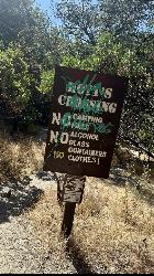
Hoyt's Crossing
Nevada City
23.8 miles NA deep pool and boulder beach on the South Yuba River in South Yuba River State Park, reached by a 0.75-mile walk on the Hoyt Trail from the Highway 49 bridges north of Nevada City. Free to walk in.
Hike, Swim 0.1 mi
Edwards Crossing
Nevada City, California
25.1 miles NDeep blue water, rock cliffs, and a sandy beach on the Yuba River — with a half-mile walk from the parking lot and cliff jumping spots up to 20 feet deep.
Hike, Swim
North Fork Falls
Colfax, California
25.7 miles NEClear water, cliff-jumping pools, and waterfalls at Sierra Nevada's North Fork Falls — a summer hike to two deep pools with 10-to-25-foot cliffs ready for leaping.
Camp, Hike, Swim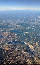
Hell Hole Reservoir
Georgetown
30.8 miles EA 4,630 foot Rubicon River reservoir in the Eldorado National Forest, 51 miles and two hours east of Georgetown, where the boat ramp cove is the only drivable shoreline and the lake drops over 100 feet by September.
Camp, Canoe, Hike, Kayak, Swim
Paradise Beach
Sacramento
36.1 miles SWA free sandy beach on an oxbow bend of the American River in Sacramento's River Park neighborhood, reached on foot over the levee from Glenn Hall Park and open sunrise to sunset.
Hike, Swim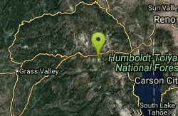
Heath Falls Overlook Trail
Truckee, California
36.9 miles NEHike and Swim near Truckee, California
Hike, Swim
Palisades Creek Trail
Truckee, California
36.9 miles NEA difficult Sierra Nevada trail past Palisade Falls — one of the tallest on the American River — with views of Devils Peak, alpine lakes, and 2,000 feet of elevation gain.
Hike, Swim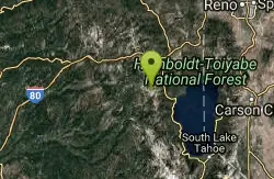
Tahoe Area
Olympic Valley, California
41.1 miles NESwim near Olympic Valley, California
Swim 4.1 mi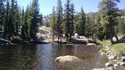
Shirley Lake Canyon Trail
Olympic Valley, California
42.4 miles EA 2.5-mile hike from Squaw Valley Village past streams and waterfalls to a pure Sierra lake — rocky near the top, with a free gondola ride back down from High Camp as a reward.
Hike, Swim
William Kent Beach
Tahoe City
45.6 miles EA free Forest Service swim beach on Lake Tahoe's West Shore, two miles south of Tahoe City on Highway 89, with a pebbly shore, cold clear water and picnic tables across from William Kent Campground.
Kayak, Swim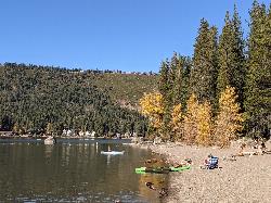
China Cove Beach
Truckee
45.7 miles NEChina Cove Beach is the sandy, shallow corner at the west end of Donner Memorial State Park, on the south shore of Donner Lake outside Truckee. California State Parks runs it, access is open to anyone paying the 10 dollar day use parking fee, and there is
Camp, Canoe, Hike, Kayak, Swim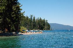
Sugar Pine Point Beach
Tahoma
46.6 miles EA quarter-mile walk from the parking lot puts you on a sand beach at the foot of Ed Z'berg Sugar Pine Point State Park, where General Creek meets Lake Tahoe and the water runs clear enough to read the bottom. It is also genuinely cold, even in August.
Camp, Hike, Kayak, Swim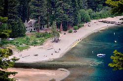
Vikingsholm Beach
South Lake Tahoe
46.7 miles ESandy beach at the head of Emerald Bay in Emerald Bay State Park, below the 1929 Vikingsholm mansion, reached by a steep one-mile trail. Free to walk in; parking is $10 a day.
Hike, Kayak, Swim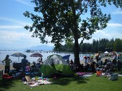
Commons Beach
Tahoe City
46.8 miles EFree public beach and lakefront park in downtown Tahoe City on Lake Tahoe, run by the Tahoe City PUD, with cold clear water, a sand and cobble shore, kayak rentals and free summer concerts.
Kayak, Swim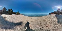
Lester Beach
South Lake Tahoe
47.0 miles ELester Beach is the sandy main swim beach at D. L. Bliss State Park on Lake Tahoe's west shore, with clear, cold, shallow water and a $10 per vehicle day-use fee in season.
Camp, Canoe, Hike, Kayak, Swim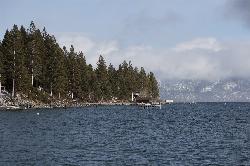
Lake Forest Beach
Tahoe City
48.4 miles EA free public beach at the end of Bristlecone Street, owned by Placer County and run by the Tahoe City Public Utility District. Sandy, pine shaded and genuinely quiet, with the one real constraint being how few cars fit at the end of the road.
Camp, Canoe, Kayak, SwimNearby Campsites
Lake Clementine Trail Loop
Auburn, California
4.8 miles SWFour connected trails loop around Lake Clementine on the North Fork American River — wheelchair accessible, pet friendly, and great for fishing, camping, and family summer outings.
Camp, Canoe, Hike, Kayak, Mountain Bike, Swim
North Fork Falls
Colfax, California
25.7 miles NEClear water, cliff-jumping pools, and waterfalls at Sierra Nevada's North Fork Falls — a summer hike to two deep pools with 10-to-25-foot cliffs ready for leaping.
Camp, Hike, Swim
Hell Hole Reservoir
Georgetown
30.8 miles EA 4,630 foot Rubicon River reservoir in the Eldorado National Forest, 51 miles and two hours east of Georgetown, where the boat ramp cove is the only drivable shoreline and the lake drops over 100 feet by September.
Camp, Canoe, Hike, Kayak, Swim
China Cove Beach
Truckee
45.7 miles NEChina Cove Beach is the sandy, shallow corner at the west end of Donner Memorial State Park, on the south shore of Donner Lake outside Truckee. California State Parks runs it, access is open to anyone paying the 10 dollar day use parking fee, and there is
Camp, Canoe, Hike, Kayak, Swim
Sugar Pine Point Beach
Tahoma
46.6 miles EA quarter-mile walk from the parking lot puts you on a sand beach at the foot of Ed Z'berg Sugar Pine Point State Park, where General Creek meets Lake Tahoe and the water runs clear enough to read the bottom. It is also genuinely cold, even in August.
Camp, Hike, Kayak, Swim
Lester Beach
South Lake Tahoe
47.0 miles ELester Beach is the sandy main swim beach at D. L. Bliss State Park on Lake Tahoe's west shore, with clear, cold, shallow water and a $10 per vehicle day-use fee in season.
Camp, Canoe, Hike, Kayak, Swim
Lake Forest Beach
Tahoe City
48.4 miles EA free public beach at the end of Bristlecone Street, owned by Placer County and run by the Tahoe City Public Utility District. Sandy, pine shaded and genuinely quiet, with the one real constraint being how few cars fit at the end of the road.
Camp, Canoe, Kayak, Swim


