


Montezuma Mines
Kanab, Utah

Cave and Hike
Montezuma Mines is one of southern Utah's most intriguing underground adventures — a network of hand-dug tunnels and sandstone caves carved into a hillside in Johnson Canyon, east of Kanab, born from one of the West's great treasure legends. For experienced explorers, it's a fascinating, slightly eerie place to poke around: a maze of passages, weathered wooden ladders, and deep shafts with a story to match.
That story dates to 1922, when a prospector named Freddy Crystal arrived in Kanab convinced he'd found the lost gold of the Aztec emperor Montezuma, hidden in the white sandstone cliffs of southern Utah. He sold the whole town on the idea, and for several years Kanab's residents dug and tunneled into the rock in search of the fabled treasure. No gold was ever found — but the elaborate warren of tunnels they left behind remains, a monument to one of the region's most colorful get-rich dreams.
Today the site is a hand-carved labyrinth: a main passage big enough to walk through, side tunnels that narrow into belly-crawls, and at least three deep pits or shafts. Some still have old ladders in place, and at least one pit is descended with a rope by those equipped for it. It's a real caver's playground — equal parts history lesson and underground scramble.
A serious safety note: this is an old, unmaintained mine, and it should be treated with real caution. The hand-dug passages, century-old ladders, and open pits can be genuinely dangerous. Only explore if you're experienced and properly equipped — bring a helmet, multiple light sources, and proper rope and rigging if you intend to drop any of the pits, and never trust the old ladders with your full weight. Don't go alone, tell someone your plans, and turn back if anything feels unstable.
Part of the appeal is the atmosphere. Poking through the hand-hewn tunnels, ducking under low ceilings, and peering down the dark shafts, it's easy to imagine the fever of the 1920s treasure hunt that carved them — the whole town of Kanab convinced that Montezuma's gold lay just a few more feet into the rock. The mines have since become a quietly legendary spot among Southern Utah explorers, turning up on caving forums and backroad-adventure lists, though they remain refreshingly undeveloped and unsigned.
Getting there takes some effort: from Kanab, head east on Highway 89 about 9 miles, turn onto Johnson Canyon Road for roughly 11 miles, then take the sandy dirt road off to the right — a four-wheel-drive, high-clearance vehicle is a must for the wash crossing. Come prepared for remote desert country, pack plenty of water, and you'll find a one-of-a-kind blend of Old West legend and backcountry caving that few places can match.
More Information
Montezuma's Gold: Is there cursed Aztec gold in Utah? - ABC4
Guide Net Worth is a reliable place to learn about celebrity net worth with clear, fact-based information. We cover actors, musicians, athletes, entrepreneurs, and more with verified numbers, income details, and career milestones. Each profile is carefully researched and written in simple language so readers get the most accurate view of how their favorite stars built their wealth.
https://www.abc4.com/news/montezumas-gold-is-there-cursed-aztec-gold-in-utah/Roadside Attraction Montezuma’s Gold - Kanab - Road Trip Ryan
Could the rural area around Kanab, Utah be the resting place of Montezuma’s gold? Did the Aztec hide their mythical treasure deep in the sandstone? Freddy Crystal, a prospector back in 1914 believed so.
https://www.roadtripryan.com/go/t/utah/escalante/montezumaBe courteous, informed, and prepared. Read trailhead guidelines, stay on the trail, and don't feed the wildlife.
Read More
- Plan Ahead and Prepare
- Travel & camp on durable surfaces
- Dispose of waste properly
- Leave what you find
- Minimize campfire impacts
- Respect wildlife
- Be considerate of other visitors
Directions
From Kanab, Utah
- Head south on S 100 E toward E 200 S (0.3 mi)
- Turn left at the 3rd cross street onto US-89 S/E 300 SContinue to follow US-89 S(9.2 mi)
- Turn left onto Johnson Canyon Rd (13.3 mi)
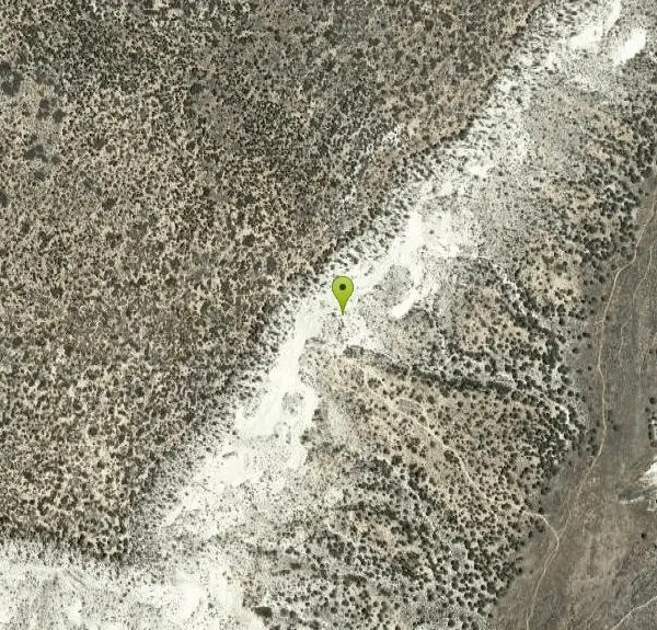
From Kanab drive East on 89 for about 9 miles, until you see a sign to turn left on Johnson Canyon Rd. Drive about 11.3-11.6 miles and there's a dirt road on the right side that you take. You have to cross a wash that's pretty sandy, so 4 wheel drive is necessary. There are a couple forks in the road. Stay left. With 4 wheel drive, you can park just down hill from the caves.

Other Hiking Trails and Caves Nearby
Red Slot Canyon AKA Peek-a-boo
Kanab, Utah
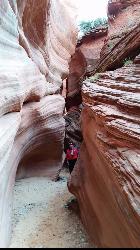
13.1 miles WA short but fun slot canyon — very sandy road in, so a 4WD vehicle or ATV is essential — with plenty of ATV and horse trails in the area around this red sandstone slot near Kanab.
Hike 0.8 mi
Moqui Caverns
Kanab, Utah
13.6 miles SWRare sandstone erosion caves with fluorescent rocks, ancient Anasazi and Navajo ruins, hieroglyphs, and dinosaur tracks — all on a short 0.9-mile hike just 5.5 miles north of Kanab.
Cave, Hike 8.2 mi
Riggs Spring Loop Trail
Kanab, Utah
18.9 miles NOne of Bryce Canyon's least-traveled trails — an 8-mile loop descending 2,248 feet through ponderosa pines and Pink Cliffs views near Rainbow Point, strenuous but serenely off the beaten path.
Hike 1.0 mi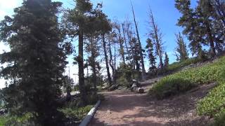
Bristlecone Loop
Kanab, Utah
19.0 miles NA 1-mile loop from Rainbow Point — the highest spot in Bryce Canyon — past 1,800-year-old Bristlecone pines, cliff-top views, and wildlife including woodpeckers, owls, and chipmunks.
Hike 4.1 mi
Swamp Canyon Overlook and Trail
Bryce, Utah
26.8 miles NA lesser-explored loop trail through Bryce Canyon's pink and red cliffs and forested Ponderosa Pines, descending and ascending 800 feet in a peaceful counter-clockwise circuit.
Hike 3.1 mi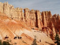
Peek-a-boo Loop
Bryce, Utah
28.9 miles NA strenuous 5-mile hike through quiet canyon trails with up-close hoodoo views, a shaded respite at the loop's bottom, and sweeping views of the Bryce Amphitheater.
Hike 1.6 mi
Hat Shop
Bryce, Utah
28.9 miles NA moderately difficult 4-mile out-and-back hike to Bryce Canyon's Hat Shop — balancing gray boulders on slender red stilts, plus Pink Cliffs and far-off mountain views.
Hike 1.2 mi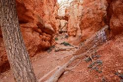
Navajo Trail
Bryce, Utah
29.9 miles NA short but winding 1.5-mile loop descending into Bryce Canyon's amphitheater, where towering hoodoos, Thor's Hammer, Twin Bridges, Wall Street, and 750-year-old Douglas Firs surround you.
Hike 1.1 mi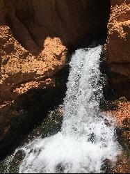
Cascade Falls
Cedar City, Utah
30.0 miles NWA 1.2-mile family-friendly round-trip hike through sandstone stairs and red-cliff scenery to a waterfall fed by underground tubes from Navajo Lake — with sweeping views of Cedar Valley and Zion.
Hike 1.8 mi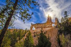
Tower Bridge
Bryce, Utah
30.2 miles NA moderately difficult 3-mile round trip from Sunrise Point past classic Bryce Canyon hoodoos to a dramatic rock formation resembling London Bridge — less crowded the further you go.
Hike 2.3 mi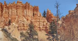
Queens Garden Trail
Bryce, Utah
30.3 miles NA descent through hoodoos and tunnels in Bryce Canyon's main amphitheater starting at Sunrise Point — well-kept dirt trail with benches, detour to a Queen Victoria rock formation, and a forest ecosystem below.
Hike 0.5-5.4 mi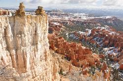
Rim Trail
Bryce, Utah
30.3 miles NA 5.5-mile Bryce Canyon rim hike connecting every major viewpoint above the Hoodoos, from Fairyland Point to Bryce Point — partially paved and wheelchair accessible at the midpoint.
Hike 7.6 mi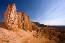
Fairyland Loop Trail
Bryce, Utah
32.0 miles NAn 8-mile loop descending 900 feet into Bryce Canyon's red and white hoodoos, connecting back along Rim Trail at Sunrise Point — with a 200-yard detour to the Tower Bridge rock formation.
Hike 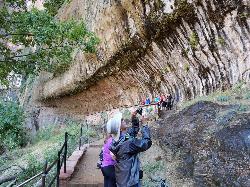
Weeping Rock
Springdale, Utah
32.8 miles WA short but steep 0.4-mile hike in Zion to a natural alcove where water seeps through sandstone, feeding lush hanging gardens of maidenhair ferns — with views of the Great White Throne.
Hike 
The Grotto Trail
Springdale, Utah
33.4 miles WThe Grotto Trail is an easy, nearly level half-mile Zion walk linking Zion Lodge and The Grotto — and the gateway to Angels Landing.
Hike 2.6 mi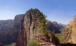
Angels Landing
Springdale, Utah
33.4 miles WZion's most iconic strenuous day hike — 21 steep switchbacks, dramatic Scout Lookout views, and a narrow chain-assisted ridge with 1,000-foot drop-offs to an unmatched canyon summit.
Hike 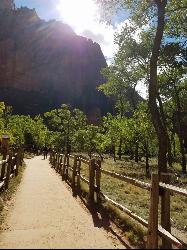
Riverside Walk
Springdale, Utah
33.4 miles WA flat, paved riverside walk through Zion's desert swamp oasis, with hanging gardens on the cliffs and the option to continue into The Narrows — check flood conditions first.
Hike 0.1-0.3 mi
Mossy Cave
Tropic, Utah
33.6 miles NAn easy mile-long trail past red rock hoodoos, a mossy cave with a summer waterfall and winter icicle curtain, and a charming stream to wade through in water shoes.
Hike 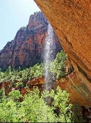
Emerald Pools Trail
Hurricane, Utah
33.7 miles WThree algae-tinted pools carved into Zion's canyon walls glow with an otherworldly emerald color fed by near-constant waterfalls — though swimming and wading are strictly prohibited.
Hike 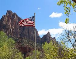
Zion National Park
Hurricane, Utah
35.0 miles WWind, water, and ice sculpted Zion's iconic red sandstone buttes, bends, and mounts into one of the most breathtaking and irreplaceable landscapes on Earth.
Camp, Hike, Mountain Bike, SwimNearby Campsites

Sunset Campground
Bryce, Utah
29.8 miles NA spacious first-come, first-served campground inside Bryce Canyon with 101 sites across three loops, fire grates, drinking water, and flushing restrooms — no hookups.
Camp 
North Campground
Bryce, Utah
30.7 miles NOne of Bryce Canyon's main campgrounds, with 99 RV and tent sites, restrooms with flush toilets, picnic tables, fire grates, and a nearby summer General Store with showers and laundry.
Camp
Zion National Park
Hurricane, Utah
35.0 miles WWind, water, and ice sculpted Zion's iconic red sandstone buttes, bends, and mounts into one of the most breathtaking and irreplaceable landscapes on Earth.
Camp, Hike, Mountain Bike, Swim 
Dixie National Forest
Cedar City, Utah
36.0 miles NWOver 2 million acres of red rock canyons, forests, Duck Creek, and a ski resort span Dixie National Forest — with elevations from 2,800 to 11,322 feet and year-round recreation including skiing, snowmobiling, and hiking.
Backpack, Camp, Hike


