


Emerald Pools Trail
Hurricane, Utah
| Address: | Hurricane, UT 84737, USA |
| GPS: |
37°15'3.8"N 112°57'31.6"W Maps | Directions |
| State: | Utah |
Picnic Tables National Park
Hike
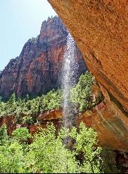
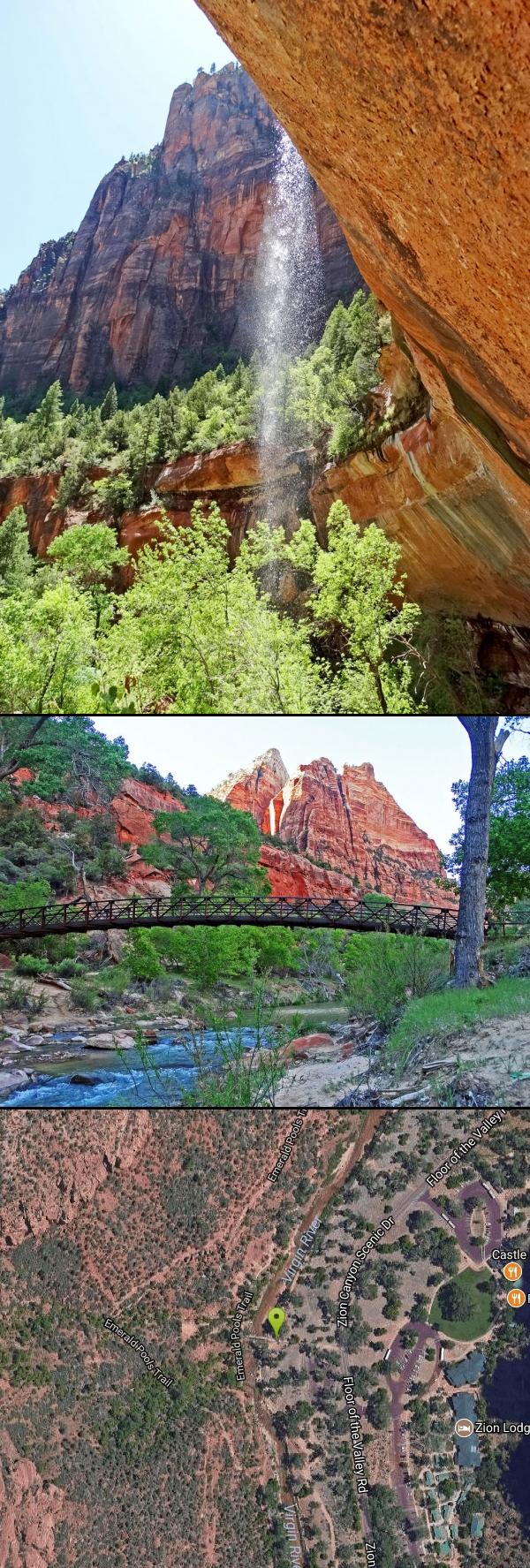
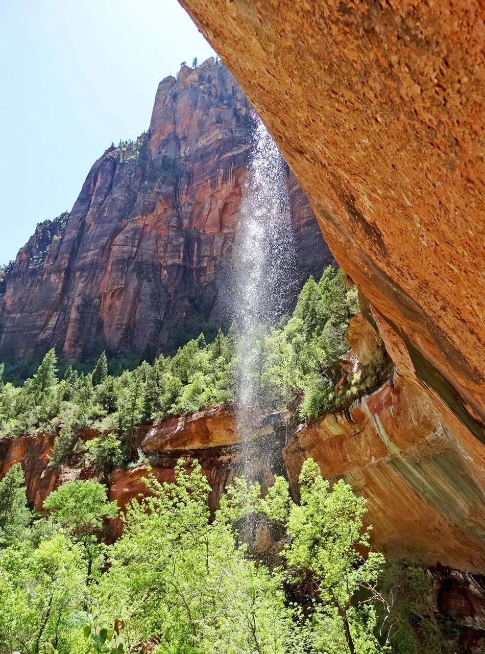
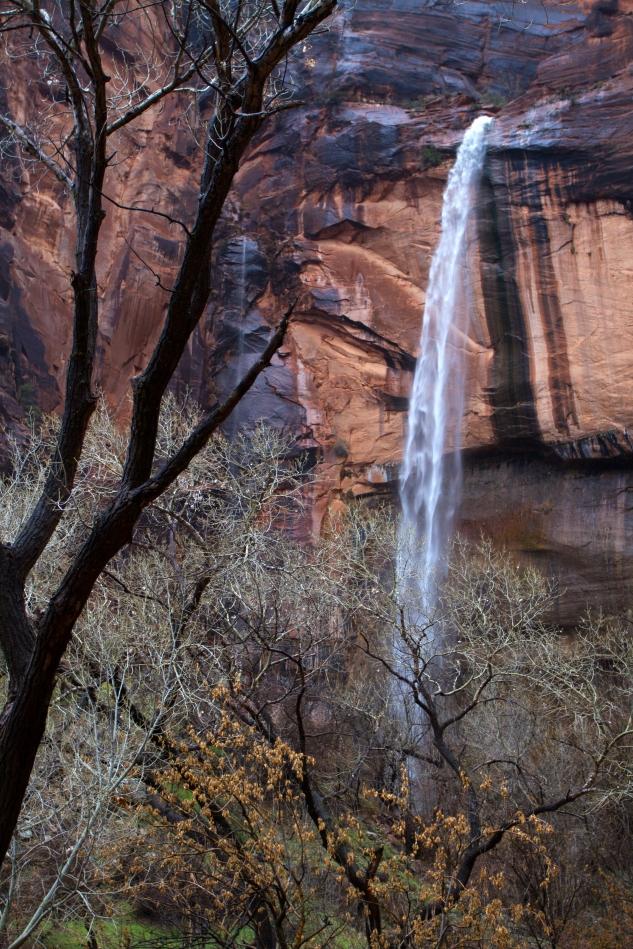
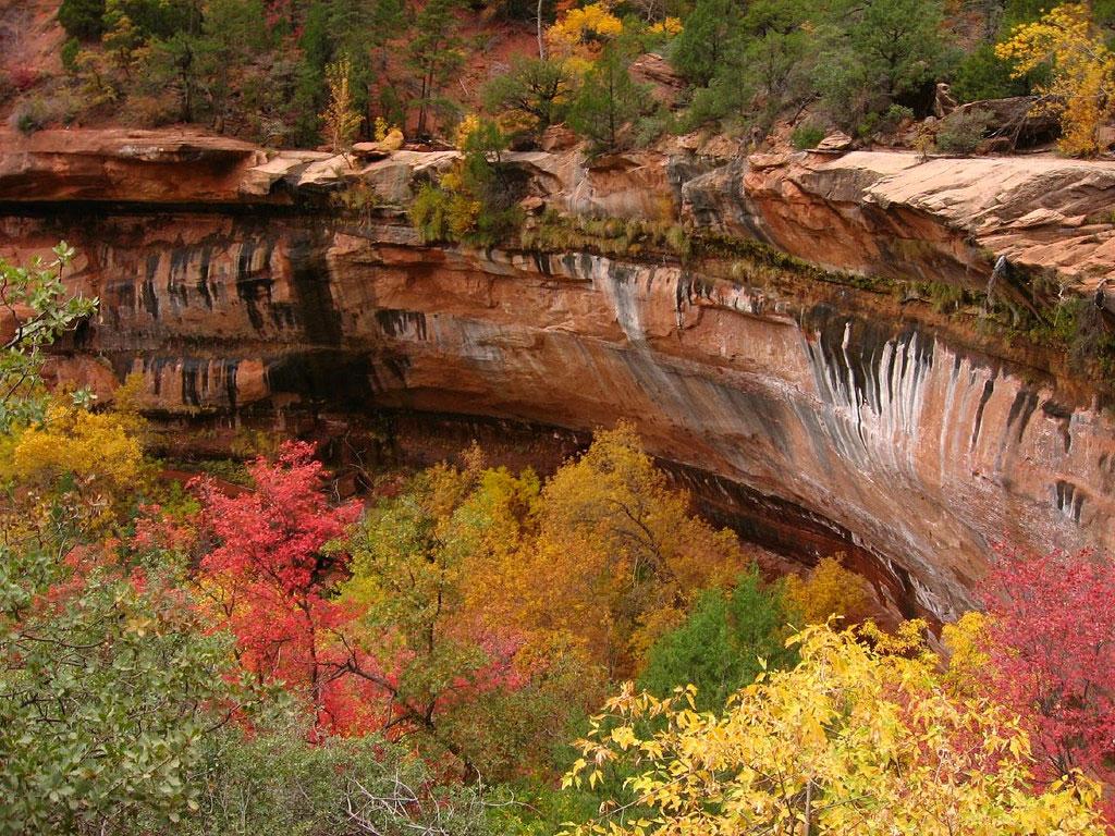
The Emerald Pools were named for their unusual color. At some times of the year, algae gives the water in these pools a distinctive hue. A series of basins have been carved into a rock ledge in the canyon wall by flowing, falling water. This is one spot in the park where you'll almost always find at least a small waterfall.
You can choose to visit one, two, or all three of the Emerald Pools. The shortest option is to the Lower Pool (first pool) and back: about 1 hour. Visiting all three pools takes about 2 hours.
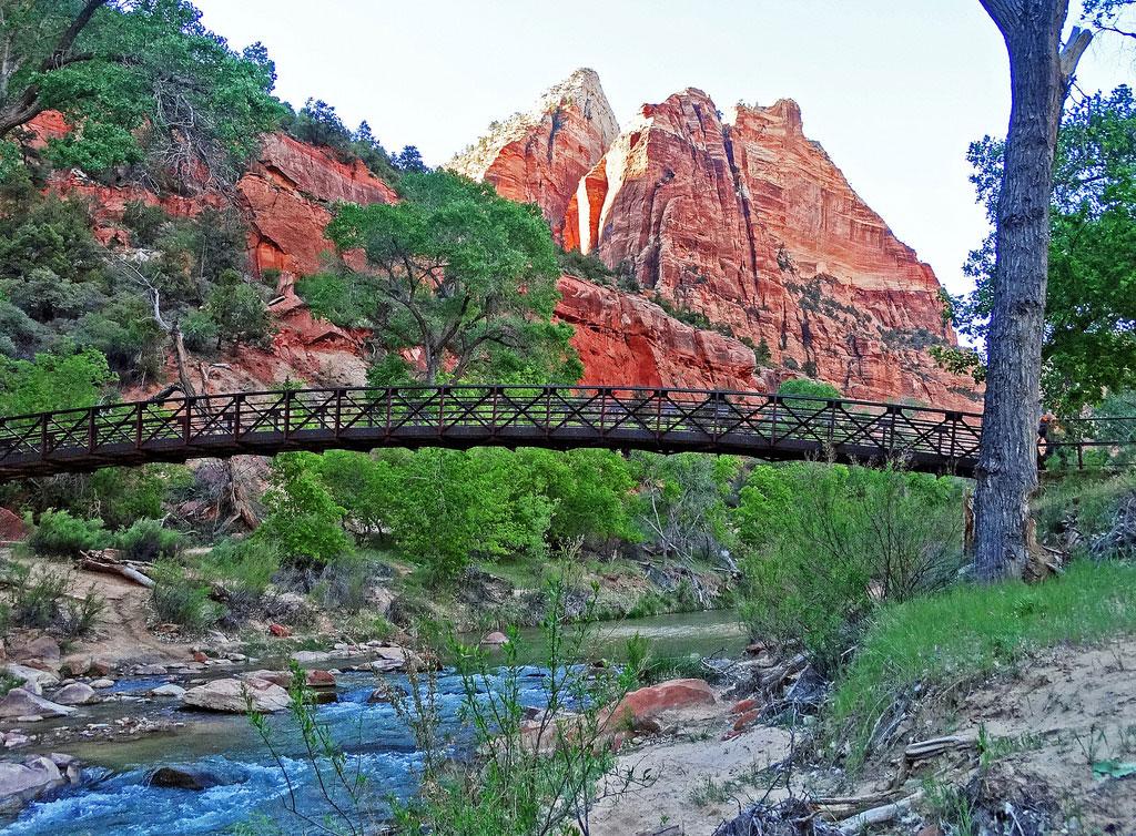
This popular trail has a little bit of everything—a waterfall, hanging gardens, tall cliffs, and great views of the Virgin River. Three small pools create a stark contrast in this desert landscape, attracting a variety of wildlife. Water is vital for their survival, so swimming is not allowed. This classic Zion hike is great for all your senses.
The Lower Emerald Pool Trail is a short, easy hike on a paved trail. Listen for animals and see a year-round waterfall provide life for hanging gardens. The Upper Emerald Pool Trail climbs an additional 240 feet providing bigger canyon views and a springtime waterfall.
Taking the trail between the Emerald Pools and The Grotto shuttle stops will take you from wet riverbanks to dry hillsides. This popular destination is often crowded. Try hiking early or late in the day. Swimming, bathing, and wading are strictly prohibited in the Emerald Pools and associated creeks.
The Lower Pool trail is paved and accessible to strollers. It may be too steep for wheelchairs even with assistance.
The Middle and Upper Pool trail is steeper and more strenuous. Trails are well marked, but cliff edges may be unstable and slippery. Please stay on marked trails and keep well back from the cliff's edge.
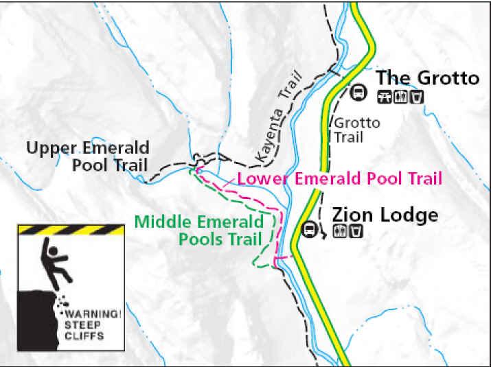
There are two main trailheads for the Emerald Pools, the Northern Kayenta trail and the Southern Emerald Pools Trail.
Emerald Pools Trail
The South trail starts at the Zion Lodge and takes you through a dryer climate with more shade.
Roundtrip: 1 hour / 1.2 miles (Lower pool only), 2.5 hours / 3 miles (Middle and Upper Pools)
Elevation Gain: 200 feet (Lower pool only), 440 feet (Middle and Upper Pools)
Difficulty: Easy/Moderate
Kayenta Trail
The Kayenta Trail starts at The Grotto shuttle stop and follows a high ledge to the Emerald Pools. This trail gets the heat of the sun and is a dryer climate but has a beautiful view of the Virgin River and canyon.
More Information
Zion National Park Itinerary
This Zion National Park Itinerary will help you get started as you plan your vacation to Zion National Park.
https://www.justgotravelstudios.com/collections/national-park-itineraries/products/zion-national-park-itinerary?ref=9zpxis0diinEmerald Pools Hiking Trails | Utah.com
All Emerald Pool hikes lead to sparkling waterfalls and glistening pools. Majestic sights can be seen all along the trails, including views of Lady Mountain, the Great White Throne, Red Arch Mountain and cliffs in all directions. Emerald Pool hiking trail options range from short and easy to strenuous and steep.
https://www.utah.com/destinations/national-parks/zion-national-park/things-to-do/hiking/emerald-pools/Emerald Pools Trail - Joe's Guide to Zion National Park
Starting at the Zion Lodge, Emerald Pools Trail is a classic little hike into the sandstone cliffs to see several famous seasonal waterfalls and lush pools.
https://www.citrusmilo.com/zionguide/emeraldpools.phpZion Emerald Pools Trail | Outdoor Experiences | Easy | Visit Utah
Often called The Narrow’s little sister, Orderville Canyon is just as (if not more) beautiful, but with an additional technical - Zion Emerald Pools Trail Easy
https://www.visitutah.com/places-to-go/parks-outdoors/zion/outdoor-experiences/emerald-poolsZion's Emerald Pools Trail
Zion Trail: Emerald Pools. This is one of Zion
https://zion-national-park.org/zion-emerald-pools-trail.htmBe courteous, informed, and prepared. Read trailhead guidelines, stay on the trail, and don't feed the wildlife.
Read More
- Plan Ahead and Prepare
- Travel & camp on durable surfaces
- Dispose of waste properly
- Leave what you find
- Minimize campfire impacts
- Respect wildlife
- Be considerate of other visitors
Directions
From Hurricane, Utah
- Head north on S 100 W toward State St (456 ft)
- Turn right at the 1st cross street onto UT-9 E/
W State St Pass by Wells Fargo Bank (on the left)(2.8 mi) - Turn right onto UT-9 E/
W 500 N Continue to follow UT-9 EToll road(21.8 mi) - Turn left onto Floor of the Valley Rd/
Zion Canyon Scenic Dr/ Zion Cyn Rd (2.6 mi) - Turn left at Zion Lodge Visitor Rd SDestination will be on the left(276 ft)
Park at the visitors center and take the shuttle to The Grotto or the Emerald Pools shuttle stop.



Other Hiking Trails Nearby

The Grotto Trail
Springdale, Utah
0.6 miles NEThe Grotto Trail is an easy, nearly level half-mile Zion walk linking Zion Lodge and The Grotto — and the gateway to Angels Landing.
Hike 2.6 mi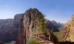
Angels Landing
Springdale, Utah
0.7 miles NEZion's most iconic strenuous day hike — 21 steep switchbacks, dramatic Scout Lookout views, and a narrow chain-assisted ridge with 1,000-foot drop-offs to an unmatched canyon summit.
Hike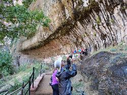
Weeping Rock
Springdale, Utah
1.8 miles NEA short but steep 0.4-mile hike in Zion to a natural alcove where water seeps through sandstone, feeding lush hanging gardens of maidenhair ferns — with views of the Great White Throne.
Hike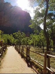
Riverside Walk
Springdale, Utah
2.8 miles NA flat, paved riverside walk through Zion's desert swamp oasis, with hanging gardens on the cliffs and the option to continue into The Narrows — check flood conditions first.
Hike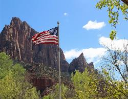
Zion National Park
Hurricane, Utah
3.4 miles SWWind, water, and ice sculpted Zion's iconic red sandstone buttes, bends, and mounts into one of the most breathtaking and irreplaceable landscapes on Earth.
Camp, Hike, Mountain Bike, Swim 7.5 mi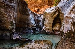
The Subway
Apple Valley, Utah
6.5 miles NWA slot canyon in Zion where you hike, swim, and rappel through majestic tunnels and lava tubes — one of the most magical canyon walks in all of Utah.
Canyoneer, Hike, Swim 3.3 mi
Guacamole Mesa
Virgin, Utah
8.8 miles WAn 11-mile advanced desert loop on Guacamole Mesa outside Zion NP — a steep, narrow climb with gorgeous red rock views gives way to a flat desert finish; avoid in rain.
Hike, Mountain Bike 7.0 mi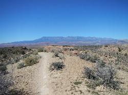
J.E.M. Trail
La Verkin, Utah
14.5 miles WA 13.27-mile round-trip mountain bike trail near Hurricane, Utah with jarring terrain and sharp turns near sheer cliffs — beautiful red rock and desert views reward the effort.
Hike, Mountain Bike 11.6 mi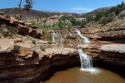
Toquerville Falls
La Verkin, Utah
16.2 miles WLedges, falls, a ladder to the best jumping spots, and a 7-foot-deep pool at the end of a 5.5-mile sandy desert drive — but stay away from the brittle, injury-prone cliff edges.
Dive, Hike, Mountain Bike, Swim 5.1 mi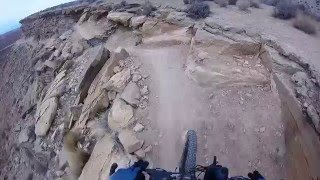
Dead Ringer
Virgin, Utah
17.4 miles SWA 5-mile desert singletrack starting from the JEM trailhead near Virgin, winding through ups and downs and bottoming out in the bumpy, hoof-print-marked Goosebumps area.
Hike, Mountain Bike 3.4 mi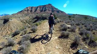
More Cowbell
Virgin, Utah
17.4 miles SWA smooth 2.7-mile beginner mountain bike loop through red Utah desert bluffs — mostly flat singletrack that's also great for hikers and connects to more challenging trails.
Hike, Mountain Bike 1.1 mi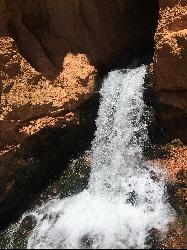
Cascade Falls
Cedar City, Utah
20.6 miles NEA 1.2-mile family-friendly round-trip hike through sandstone stairs and red-cliff scenery to a waterfall fed by underground tubes from Navajo Lake — with sweeping views of Cedar Valley and Zion.
Hike 7.4 mi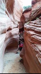
Red Slot Canyon AKA Peek-a-boo
Kanab, Utah
22.2 miles EA short but fun slot canyon — very sandy road in, so a 4WD vehicle or ATV is essential — with plenty of ATV and horse trails in the area around this red sandstone slot near Kanab.
Hike 3.6 mi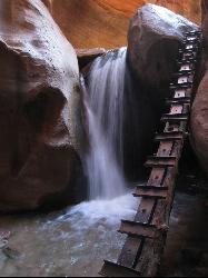
Kanarraville Falls
Kanarraville, Utah
23.1 miles NWA slot canyon hike through ankle-to-knee-deep water to twin waterfalls, with a natural sandstone slide into a refreshing swimming hole halfway through the route.
Hike, Swim 0.8 mi
Moqui Caverns
Kanab, Utah
23.8 miles SERare sandstone erosion caves with fluorescent rocks, ancient Anasazi and Navajo ruins, hieroglyphs, and dinosaur tracks — all on a short 0.9-mile hike just 5.5 miles north of Kanab.
Cave, Hike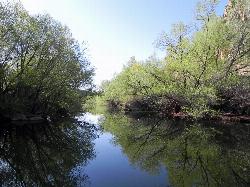
Quail Creek Reservoir
Hurricane
24.1 miles WA 600-acre reservoir in the red rock west of Hurricane holding some of the warmest swimming water in Utah, with a cobble west-shore beach inside the no-wake zone and a $20 resident day-use fee per vehicle.
Camp, Canoe, Hike, Kayak, Swim 0.7 mi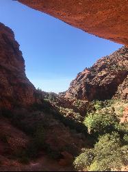
Red Reef trail
Hurricane, Utah
24.7 miles WTwo miles of red slickrock, a slot canyon, a spring waterfall, and ancient Anasazi hieroglyphs in a small cave make this an exceptional family-friendly desert hike.
Hike 9.4 mi
Church Rocks
Washington, Utah
29.9 miles WA nearly 6-mile red rock ride near St. George winding through sandy desert washes and smooth slick rock — a great practice run before tackling Moab's Slick Rock Trail.
Hike, Mountain Bike 11.3 mi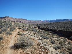
Grapevine Trail
Washington, Utah
30.1 miles WA 5-mile out-and-back trail connecting southern Utah desert, paved paths, and rocky terrain before ending at Grapevine Spring — a small waterfall cascading down red rock.
Hike, Mountain Bike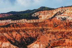
Dixie National Forest
Cedar City, Utah
32.6 miles NEOver 2 million acres of red rock canyons, forests, Duck Creek, and a ski resort span Dixie National Forest — with elevations from 2,800 to 11,322 feet and year-round recreation including skiing, snowmobiling, and hiking.
Backpack, Camp, HikeNearby Campsites
Zion National Park
Hurricane, Utah
3.4 miles SWWind, water, and ice sculpted Zion's iconic red sandstone buttes, bends, and mounts into one of the most breathtaking and irreplaceable landscapes on Earth.
Camp, Hike, Mountain Bike, Swim
Quail Creek Reservoir
Hurricane
24.1 miles WA 600-acre reservoir in the red rock west of Hurricane holding some of the warmest swimming water in Utah, with a cobble west-shore beach inside the no-wake zone and a $20 resident day-use fee per vehicle.
Camp, Canoe, Hike, Kayak, Swim
Sand Hollow State Park
Hurricane, Utah
25.0 miles WA desert reservoir near Hurricane with a cliff-jumping area, a sandy beach for swimming and paddleboarding, and vast sand dunes for ATVs — southern Utah's desert playground.
Camp, Canoe, Dive, Kayak, Swim
Dixie National Forest
Cedar City, Utah
32.6 miles NEOver 2 million acres of red rock canyons, forests, Duck Creek, and a ski resort span Dixie National Forest — with elevations from 2,800 to 11,322 feet and year-round recreation including skiing, snowmobiling, and hiking.
Backpack, Camp, Hike
Gunlock State Park
Gunlock
44.8 miles WGunlock Reservoir is a 266-acre Utah state park lake on the Santa Clara River about 15 miles northwest of St. George, with a sandy east shoreline, a boat ramp and a 30-site hookup campground. A Utah Division of Water Quality warning advisory posted August
Camp, Canoe, Hike, Kayak, Swim


