


Zion National Park
Hurricane, Utah
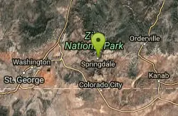
| Address: | Zion National Park, Washington County, UT, United States |
| GPS: |
37°12'18.3"N 112°58'58.9"W Maps | Directions |
| State: | Utah |
Restrooms Picnic Tables Rivers Waterfalls Streams Trails Rocks Wildflowers Ponds National Park Lakes Glaciers
Camp, Hike, Mountain Bike, and Swim
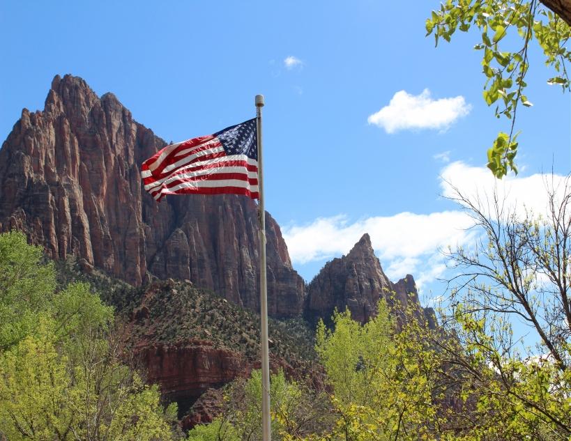
This is a unique place in the world. Sandstone,carved from wind, water and ice have created icons to visitors. The buttes, landings, bends, mounts and mountains have all been given names over the years. Let it bring meaning to you with your next adventure.
More Information
Zion National Park Itinerary
This Zion National Park Itinerary will help you get started as you plan your vacation to Zion National Park.
https://www.justgotravelstudios.com/collections/national-park-itineraries/products/zion-national-park-itinerary?ref=9zpxis0diinColoring Zions National Park | Coloring Zion's Park Icons
Bring back memories of your adventures at Zion National Park with these pictures and coloring book.
https://utahzionsnationalpark.wordpress.com/Never modify trail features. Ride trails when they're dry enough that you won't leave ruts. Speak up when you see others on the trail and always yield to hikers, horses, and others coming uphill. Always ride on the established trail.
Read MoreBe courteous, informed, and prepared. Read trailhead guidelines, stay on the trail, and don't feed the wildlife.
Read More
- Plan Ahead and Prepare
- Travel & camp on durable surfaces
- Dispose of waste properly
- Leave what you find
- Minimize campfire impacts
- Respect wildlife
- Be considerate of other visitors
Directions
From Hurricane, Utah
- Head north on S 100 W toward State St (456 ft)
- Turn right at the 1st cross street onto W State StPass by Wells Fargo Bank (on the left)(2.8 mi)
- Turn right onto UT-9 E/W 500 NContinue to follow UT-9 EPartial toll road(20.6 mi)
- Turn right (256 ft)
- Turn left (184 ft)
After you park your vehicle outside the park, take the free shuttle for the tour. Get off at each stop and enjoy the scenery. It takes half day easy and you could spend all day.
CAMPGROUNDS [CAMP]: The Virgin River goes right by both the Zion campgrounds - Watchman and the South Campgrounds (both near the Springdale entrance to the park). There are some fine wading and swimming places right here in the river - very convenient if you are camping! If you are not camping, you can access these swimming holes via the PA'RUS trail (a short walk from the Visitor Center), which skirts the campgrounds along the Virgin River. An outstanding swimming hole is right behind Site 87 in the South Campground, PHOTO, PHOTO , PHOTO, PHOTO - but there are others too. LAT, LON lat=37.2007, lon=-112.9871(source: DeLorme) (accuracy: approximate) LINK TO GOOGLE MAP. Very confident. Verified 7/2014. Updated 7/2014.
CANYON JUNCTION [CANY]: A popular swimming place in the Virgin River at Canyon Junction, which is also near where Pine Creek joins the Virgin River (see PINE CREEK below). The shuttle bus stops here (and some of the shuttle bus operators even announce the swimming hole!). This is north of the Visitors Center (south of the lodge), where RT 9 turns right to go up the Zion-Mt. Carmel Highway (see the valley map on the web site above). After you get off the shuttle bus at Canyon Junction, walk north short way to the "river access" sign and down to the river to the swimming places. The main swimming hole is just at the bottom of the small falls. PHOTO , PHOTO , PHOTO . LAT, LON lat=37.2189, lon=-112.9729(source: measured) (accuracy: exact) LINK TO GOOGLE MAP. Very confident. Verified 7/2014. Updated 7/2014.
LOWER PINE CREEK [LOWP]: An easy hike along Pine Creek (which empties into the Virgin River at Canyon Junction, above) with a couple of swimming holes along the way. LINK TO MORE INFO . To get here by car from Canyon Junction go up (east) on the Zion-Mt Carmel highway a very short distance to the first switchback and park just before the stone bridge over Pine Creek on the left (or, if by shuttle, walk up the road to here from the shuttle stop at Canyon Junction.).
To get here, follow a very apparent trail east and into the Pine Creek area for about .5 miles. You will need to cross the creek at least once. At about .5 miles, you will come to a bunch of large boulders blocking the creek - climb over these and the first swimming hole is just on the other side - a nice little falls and deep, narrow, green swimming hole below. You can jump off the rocks on the right into the deepest part of the hole. PHOTO 1, PHOTO 2 , PHOTO 3. LAT, LON lat=37.21737 , lon=-112.96039(source: measured) (accuracy: exact) LINK TO GOOGLE MAP.
If you clamber over rocks and go upstream a very short distance from here, you come to Lower Pine Creek Falls, about 10 feet high, but the pool at the bottom tends to be shallow and not as good a swimming place as the first place. It is a bit of a difficult rock clamber to go up to the falls - from the first place climb up the rocks face on the right (looking upstream) using the apparent "steps" in the rock. Clamber over a few boulders and you will see the falls. See link to photos above for the larger falls.
Also, if you park at the second switchback, look east over the guard wall and follow a well-maintained path down to the streambed. The path down is steep but not too difficult. The Pine Creek watercourse is strewn with many large boulders which have created many little alcoves, waterfalls, and pools -- fun for hanging out in the water. Very confident. Verified 7/2014. Updated 7/2014.
THE NARROWS [NARR]: At the north end of the canyon in Zion is "The Narrows" - where the Virgin River comes out of a deep, narrow canyon. You can get a permit (and a shuttle) and hike the entire Narrows from north to south (usually done as an over night trip). Information about the hike. Most people take a much shorter hike up into the Narrows - take shuttle to the north end of the valley (The Temple of Sinawava)and walk the "Riverside Trail" north. For the first mile, it is paved and there are numerous swimming holes clearly visible as you walk this paved trail - Photo along the walk to the Narrows , Photo along the walk to the Narrows. Then walk north in the Virgin River canyon (sometimes in the water - wear shoes that can get wet); there are also several places deep enough to be swimming holes along here also Photo of hiking in the Narrows , Photo of hiking in the Narrows.. After about 1.5 miles of walking in the river, you come to where the Narrows really begin. Here, on the right, Orderville Canyon comes in. Hike up this canyon about .5 mile and you will come to small falls with several swimmable pools. LAT, LON lat=37.3067, lon=-112.945(source: DeLorme) (accuracy: approximate) LINK TO GOOGLE MAP. Very confident. Partially verified. Updated 6/2007.
VIRGIN RIVER FALLS PARK [VIRG]: This one is not in Zion N.P. but is close by and a lot of fun! Near the town of Virgin, there is a town park where the Virgin River goes through a narrow slickrock slot - great for a swim or a short tubing trip (vault toilets). Photo 1 , Photo 2 , Photo 3 . To get here from Zion N.P., take RT 9 west to the town of Virgin. Go about .25 miles past (west of) the Fort Zion Restaurant and turn south (left) on Sheep Bridge Rd.. Cross the bridge over the Virgin River and turn immediately left where there is a sign for the Virgin River Falls Park and a gate. Drive this (rough dirt) road about .4 miles then you will see the toilet and picnic table. Park and walk to the river. Take an inner tube (and sun screen - no shade) and enjoy! LAT, LON lat=37.1975, lon=-113.2083 (source: DeLorme-p) (accuracy: exact) LINK TO GOOGLE MAP. Very confident. Verified 5/2007. Updated 10/2011.
Courtesy of swimmingholes.org
davidwhipple
4/17/17 10:10 am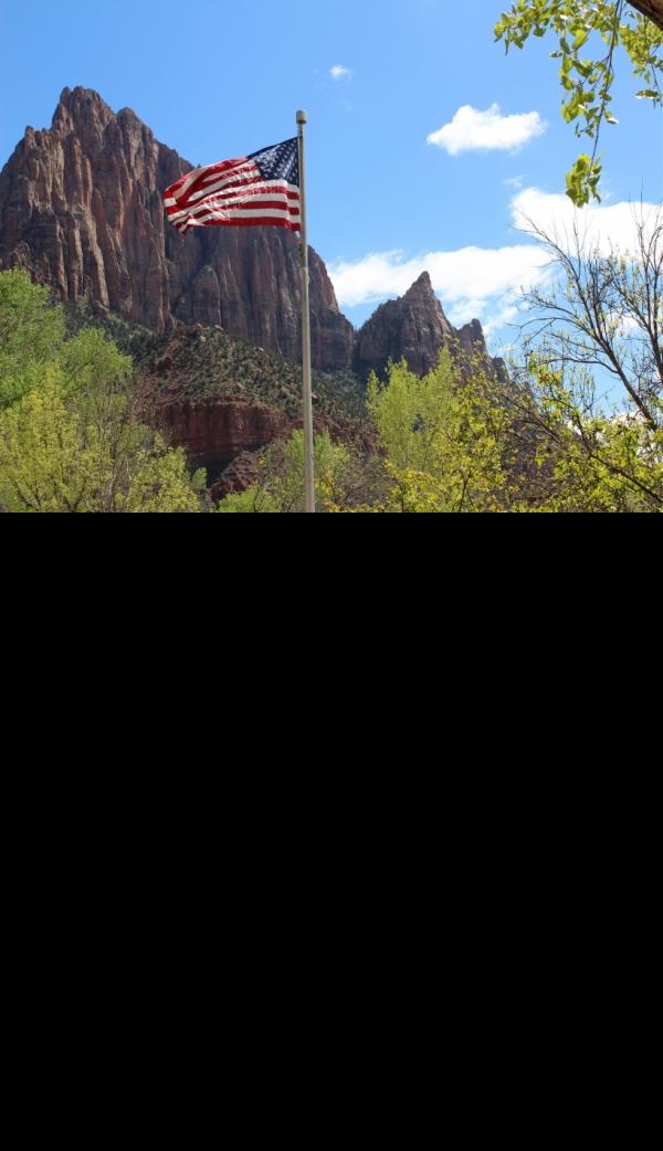
Other Mountain Bike Trails, Swimming Holes, and Hiking Trails Nearby
Springdale Town Loop
Hurricane, Utah
1.3 miles SWA fun, tight, twisty mountain bike trail near Hurricane that can be enjoyed year-round — quick turns and flow keep it entertaining on every lap.
Mountain Bike 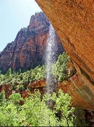
Emerald Pools Trail
Hurricane, Utah
3.4 miles NEThree algae-tinted pools carved into Zion's canyon walls glow with an otherworldly emerald color fed by near-constant waterfalls — though swimming and wading are strictly prohibited.
Hike 
The Grotto Trail
Springdale, Utah
4.0 miles NEThe Grotto Trail is an easy, nearly level half-mile Zion walk linking Zion Lodge and The Grotto — and the gateway to Angels Landing.
Hike 2.6 mi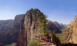
Angels Landing
Springdale, Utah
4.1 miles NEZion's most iconic strenuous day hike — 21 steep switchbacks, dramatic Scout Lookout views, and a narrow chain-assisted ridge with 1,000-foot drop-offs to an unmatched canyon summit.
Hike 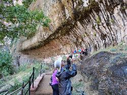
Weeping Rock
Springdale, Utah
5.2 miles NEA short but steep 0.4-mile hike in Zion to a natural alcove where water seeps through sandstone, feeding lush hanging gardens of maidenhair ferns — with views of the Great White Throne.
Hike 8.4 mi
Grafton Mesa
Springdale, Utah
6.1 miles SWA short but adrenaline-pumping 4.6-mile experienced-only trail through red rock with views of Zion's peaks — best ridden top-down via the Springdale shuttle, and skip it when wet.
Mountain Bike 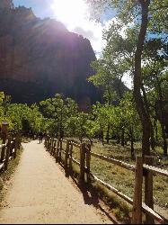
Riverside Walk
Springdale, Utah
6.2 miles NA flat, paved riverside walk through Zion's desert swamp oasis, with hanging gardens on the cliffs and the option to continue into The Narrows — check flood conditions first.
Hike 7.2 mi
Wire Mesa
Hurricane, Utah
7.0 miles SWA 7.4-mile out-and-back through rolling desert mesas with options for all skill levels, beautiful southern Utah views, and a scenic overlook of Zion National Park at the end.
Mountain Bike 3.3 mi
Guacamole Mesa
Virgin, Utah
7.4 miles WAn 11-mile advanced desert loop on Guacamole Mesa outside Zion NP — a steep, narrow climb with gorgeous red rock views gives way to a flat desert finish; avoid in rain.
Hike, Mountain Bike 7.5 mi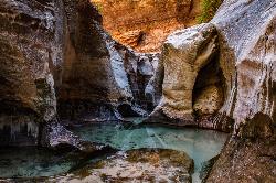
The Subway
Apple Valley, Utah
8.1 miles NWA slot canyon in Zion where you hike, swim, and rappel through majestic tunnels and lava tubes — one of the most magical canyon walks in all of Utah.
Canyoneer, Hike, Swim 
Gooseberry Mesa
Hurricane, Utah
11.3 miles SWGooseberry Mesa's 13.4-mile mountain bike loop near Zion National Park features mesas, desert scenery, challenging climbs, steep descents, and cliff-edge trail sections — best ridden April through November.
Mountain Bike 7.0 mi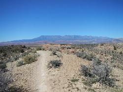
J.E.M. Trail
La Verkin, Utah
12.8 miles WA 13.27-mile round-trip mountain bike trail near Hurricane, Utah with jarring terrain and sharp turns near sheer cliffs — beautiful red rock and desert views reward the effort.
Hike, Mountain Bike 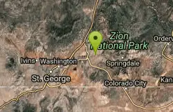
Crypto-Goosebumps
La Verkin, Utah
12.9 miles WA flowing, narrow, and at times exposed mountain bike ride linking JEM, Hurricane Rim, Cryptobionic, and Goosebumps trails through the La Verkin area of southern Utah.
Mountain Bike 5.1 mi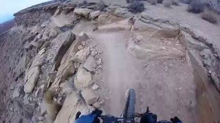
Dead Ringer
Virgin, Utah
15.0 miles WA 5-mile desert singletrack starting from the JEM trailhead near Virgin, winding through ups and downs and bottoming out in the bumpy, hoof-print-marked Goosebumps area.
Hike, Mountain Bike 3.4 mi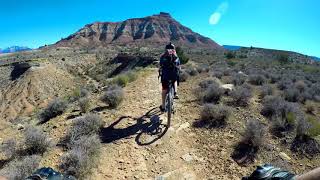
More Cowbell
Virgin, Utah
15.0 miles WA smooth 2.7-mile beginner mountain bike loop through red Utah desert bluffs — mostly flat singletrack that's also great for hikers and connects to more challenging trails.
Hike, Mountain Bike 11.6 mi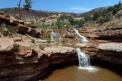
Toquerville Falls
La Verkin, Utah
15.9 miles NWLedges, falls, a ladder to the best jumping spots, and a 7-foot-deep pool at the end of a 5.5-mile sandy desert drive — but stay away from the brittle, injury-prone cliff edges.
Dive, Hike, Mountain Bike, Swim 13.1 mi
Little Creek Mesa
Hurricane, Utah
16.7 miles SWTwenty miles of interconnected red-rock singletrack across Little Creek Mesa, Gooseberry Mesa, and West Mesa, with sheer cliffs, slickrock descents, and big scenery near Hurricane.
Mountain Bike 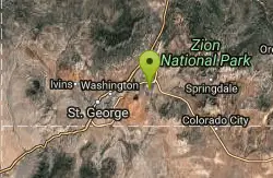
Gould's Rim trail
Hurricane, Utah
18.3 miles WA rim trail along the edge of a canyon near Hurricane, Utah — starts smooth and grows rocky, with stunning views as it winds between a doubletrack climb and the Goulds trail junction.
Mountain Bike 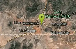
Hurricane Rim trail
Hurricane, Utah
18.7 miles WA rocky singletrack rim trail above the Virgin River with slab sections, several hundred feet of exposure, and spectacular views — rideable out and back or as part of the Hurricane Loop.
Mountain Bike 
Sand Hollow State Park
Hurricane, Utah
22.8 miles WA desert reservoir near Hurricane with a cliff-jumping area, a sandy beach for swimming and paddleboarding, and vast sand dunes for ATVs — southern Utah's desert playground.
Camp, Canoe, Dive, Kayak, SwimNearby Campsites
Sand Hollow State Park
Hurricane, Utah
22.8 miles WA desert reservoir near Hurricane with a cliff-jumping area, a sandy beach for swimming and paddleboarding, and vast sand dunes for ATVs — southern Utah's desert playground.
Camp, Canoe, Dive, Kayak, Swim 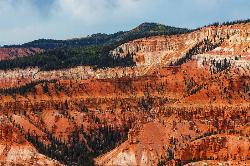
Dixie National Forest
Cedar City, Utah
36.0 miles NEOver 2 million acres of red rock canyons, forests, Duck Creek, and a ski resort span Dixie National Forest — with elevations from 2,800 to 11,322 feet and year-round recreation including skiing, snowmobiling, and hiking.
Backpack, Camp, Hike


