


Red Slot Canyon AKA Peek-a-boo
Kanab, Utah
| Address: | Red Canyon Slot Aka Peek a boo, Kanab, UT 84741, USA |
| GPS: |
37°9'17.7"N 112°34'24.5"W Maps | Directions |
| State: | Utah |
| Trails/Routes: | 7.4 mi |
Hike
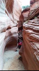
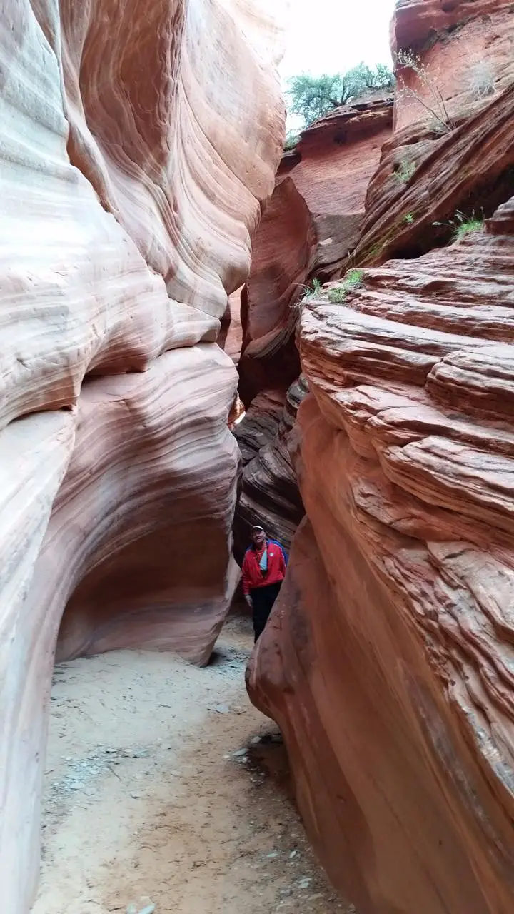
Red Slot Canyon — far better known as Peekaboo Canyon — is a short but stunning slot canyon on BLM land north of Kanab, Utah, on the doorstep of Grand Staircase-Escalante country. (Not to be confused with the more famous Peek-a-Boo near Escalante.) Glowing orange-red sandstone walls twist and narrow overhead, decorated with ancient Moqui steps carved into the rock and logs wedged high between the walls by past floods — a geologic and archaeologic gem packed into a tiny, magical space.
The hike through the slot itself is easy and short, only about three-quarters of a mile round trip, making it a wonderful, family-friendly adventure once you're there. Getting there is the hard part: the final 3.5 miles follow a deep-sand BLM road (Route 102) that is genuinely challenging — four-wheel-drive with aired-down tires is essential, and the route is sometimes impassable. Many visitors wisely book a guided tour from Kanab rather than risk getting stuck in the sand.
And heed the flash-flood danger: narrow slots like this turn deadly in flash floods, so never enter if rain is anywhere in the forecast, even far away. Floods also reshape the canyon — in recent years debris has created drop-offs and obstacles (at times requiring a ladder), so conditions change from season to season.
Spring and fall offer the most comfortable temperatures (summer brings monsoon storms and flood risk; check the forecast carefully). Bring plenty of water, sun protection, and sturdy shoes, ask the Kanab BLM / Grand Staircase visitor center for current conditions, and pack out everything. For a jaw-dropping little slot-canyon adventure, Peekaboo is one of Kanab's best.
More Information
Red Canyon, or Peekabooo Slot Canyon, Kanab, Utah
Red Canyon forms a half mile long section of narrows through red Navajo sandstone rocks, near Kanab, a few miles east of Zion National Park. Known locally as Peekabooo Slot Canyon
https://www.americansouthwest.net/slot_canyons/red_canyon/index.htmlBe courteous, informed, and prepared. Read trailhead guidelines, stay on the trail, and don't feed the wildlife.
Read More
- Plan Ahead and Prepare
- Travel & camp on durable surfaces
- Dispose of waste properly
- Leave what you find
- Minimize campfire impacts
- Respect wildlife
- Be considerate of other visitors
Directions
From Kanab, Utah
- Head north on S 100 E (180 ft)
- Continue onto E Center St (0.4 mi)
- Continue onto US-89 N/
N 300 W Continue to follow US-89 N(8.1 mi) - Turn right (322 ft)

Other Hiking Trails Nearby

Moqui Caverns
Kanab, Utah
2.7 miles SRare sandstone erosion caves with fluorescent rocks, ancient Anasazi and Navajo ruins, hieroglyphs, and dinosaur tracks — all on a short 0.9-mile hike just 5.5 miles north of Kanab.
Cave, Hike 
Montezuma Mines
Kanab, Utah
13.1 miles EMontezuma Mines is one of southern Utah's most intriguing underground adventures — a network of hand-dug tunnels and sandstone caves carved into a hillside in Johnson Canyon, east of Kanab,...
Cave, Hike 
Weeping Rock
Springdale, Utah
21.6 miles WA short but steep 0.4-mile hike in Zion to a natural alcove where water seeps through sandstone, feeding lush hanging gardens of maidenhair ferns — with views of the Great White Throne.
Hike 
The Grotto Trail
Springdale, Utah
22.0 miles WThe Grotto Trail is an easy, nearly level half-mile Zion walk linking Zion Lodge and The Grotto — and the gateway to Angels Landing.
Hike 2.6 mi
Angels Landing
Springdale, Utah
22.0 miles WZion's most iconic strenuous day hike — 21 steep switchbacks, dramatic Scout Lookout views, and a narrow chain-assisted ridge with 1,000-foot drop-offs to an unmatched canyon summit.
Hike 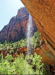
Emerald Pools Trail
Hurricane, Utah
22.2 miles WThree algae-tinted pools carved into Zion's canyon walls glow with an otherworldly emerald color fed by near-constant waterfalls — though swimming and wading are strictly prohibited.
Hike 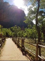
Riverside Walk
Springdale, Utah
22.6 miles NWA flat, paved riverside walk through Zion's desert swamp oasis, with hanging gardens on the cliffs and the option to continue into The Narrows — check flood conditions first.
Hike 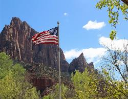
Zion National Park
Hurricane, Utah
22.8 miles WWind, water, and ice sculpted Zion's iconic red sandstone buttes, bends, and mounts into one of the most breathtaking and irreplaceable landscapes on Earth.
Camp, Hike, Mountain Bike, Swim 1.1 mi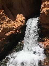
Cascade Falls
Cedar City, Utah
26.0 miles NWA 1.2-mile family-friendly round-trip hike through sandstone stairs and red-cliff scenery to a waterfall fed by underground tubes from Navajo Lake — with sweeping views of Cedar Valley and Zion.
Hike 7.5 mi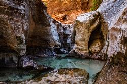
The Subway
Apple Valley, Utah
28.4 miles WA slot canyon in Zion where you hike, swim, and rappel through majestic tunnels and lava tubes — one of the most magical canyon walks in all of Utah.
Canyoneer, Hike, Swim 8.2 mi
Riggs Spring Loop Trail
Kanab, Utah
28.7 miles NEOne of Bryce Canyon's least-traveled trails — an 8-mile loop descending 2,248 feet through ponderosa pines and Pink Cliffs views near Rainbow Point, strenuous but serenely off the beaten path.
Hike 1.0 mi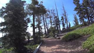
Bristlecone Loop
Kanab, Utah
28.7 miles NEA 1-mile loop from Rainbow Point — the highest spot in Bryce Canyon — past 1,800-year-old Bristlecone pines, cliff-top views, and wildlife including woodpeckers, owls, and chipmunks.
Hike 3.3 mi
Guacamole Mesa
Virgin, Utah
30.2 miles WAn 11-mile advanced desert loop on Guacamole Mesa outside Zion NP — a steep, narrow climb with gorgeous red rock views gives way to a flat desert finish; avoid in rain.
Hike, Mountain Bike 7.0 mi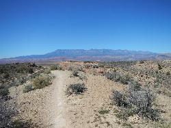
J.E.M. Trail
La Verkin, Utah
35.4 miles WA 13.27-mile round-trip mountain bike trail near Hurricane, Utah with jarring terrain and sharp turns near sheer cliffs — beautiful red rock and desert views reward the effort.
Hike, Mountain Bike 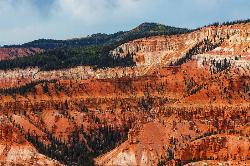
Dixie National Forest
Cedar City, Utah
35.7 miles NOver 2 million acres of red rock canyons, forests, Duck Creek, and a ski resort span Dixie National Forest — with elevations from 2,800 to 11,322 feet and year-round recreation including skiing, snowmobiling, and hiking.
Backpack, Camp, Hike 4.1 mi
Swamp Canyon Overlook and Trail
Bryce, Utah
35.8 miles NEA lesser-explored loop trail through Bryce Canyon's pink and red cliffs and forested Ponderosa Pines, descending and ascending 800 feet in a peaceful counter-clockwise circuit.
Hike 5.1 mi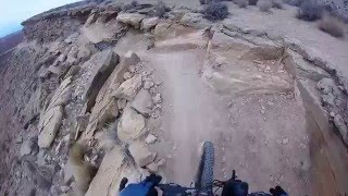
Dead Ringer
Virgin, Utah
36.9 miles WA 5-mile desert singletrack starting from the JEM trailhead near Virgin, winding through ups and downs and bottoming out in the bumpy, hoof-print-marked Goosebumps area.
Hike, Mountain Bike 3.4 mi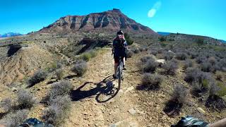
More Cowbell
Virgin, Utah
36.9 miles WA smooth 2.7-mile beginner mountain bike loop through red Utah desert bluffs — mostly flat singletrack that's also great for hikers and connects to more challenging trails.
Hike, Mountain Bike 11.6 mi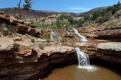
Toquerville Falls
La Verkin, Utah
38.3 miles WLedges, falls, a ladder to the best jumping spots, and a 7-foot-deep pool at the end of a 5.5-mile sandy desert drive — but stay away from the brittle, injury-prone cliff edges.
Dive, Hike, Mountain Bike, Swim 3.1 mi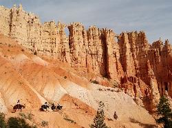
Peek-a-boo Loop
Bryce, Utah
38.5 miles NEA strenuous 5-mile hike through quiet canyon trails with up-close hoodoo views, a shaded respite at the loop's bottom, and sweeping views of the Bryce Amphitheater.
HikeNearby Campsites
Zion National Park
Hurricane, Utah
22.8 miles WWind, water, and ice sculpted Zion's iconic red sandstone buttes, bends, and mounts into one of the most breathtaking and irreplaceable landscapes on Earth.
Camp, Hike, Mountain Bike, Swim
Dixie National Forest
Cedar City, Utah
35.7 miles NOver 2 million acres of red rock canyons, forests, Duck Creek, and a ski resort span Dixie National Forest — with elevations from 2,800 to 11,322 feet and year-round recreation including skiing, snowmobiling, and hiking.
Backpack, Camp, Hike 
Sunset Campground
Bryce, Utah
39.0 miles NEA spacious first-come, first-served campground inside Bryce Canyon with 101 sites across three loops, fire grates, drinking water, and flushing restrooms — no hookups.
Camp 
North Campground
Bryce, Utah
40.0 miles NEOne of Bryce Canyon's main campgrounds, with 99 RV and tent sites, restrooms with flush toilets, picnic tables, fire grates, and a nearby summer General Store with showers and laundry.
Camp 
Sand Hollow State Park
Hurricane, Utah
44.6 miles WA desert reservoir near Hurricane with a cliff-jumping area, a sandy beach for swimming and paddleboarding, and vast sand dunes for ATVs — southern Utah's desert playground.
Camp, Canoe, Dive, Kayak, Swim


