


Sherando Lake Recreation Area
Lyndhurst
Camp, Canoe, Hike, Kayak, and Swim
Sherando Lake Recreation Area is a U.S. Forest Service day-use area and campground in the George Washington National Forest, run by the Glenwood-Pedlar Ranger District. The swimming is in Lower Sherando Lake, a 25-acre reservoir the Civilian Conservation Corps built in the mid-1930s as a flood-control lake. It sits at about 1,800 feet in a hollow below Torry Ridge in southern Augusta County, fed by springs, the North Fork of Back Creek and Williams Branch. A smaller 7-acre upper lake, built in 1958, lies a short drive up the valley.
From Interstate 64, take exit 96 near Stuarts Draft and follow State Route 624 south. At Lyndhurst the road becomes SR 664 (Mount Torrey Road) without a turn; the recreation area entrance is about 8 miles farther on the right, and the gatehouse is about half a mile in. Keep going past the lower lake to the beach parking lot off Bath House Road. The entrance gate is locked from 10 pm to 6 am, and cell coverage on site is unreliable, so sort out directions before you leave the highway.
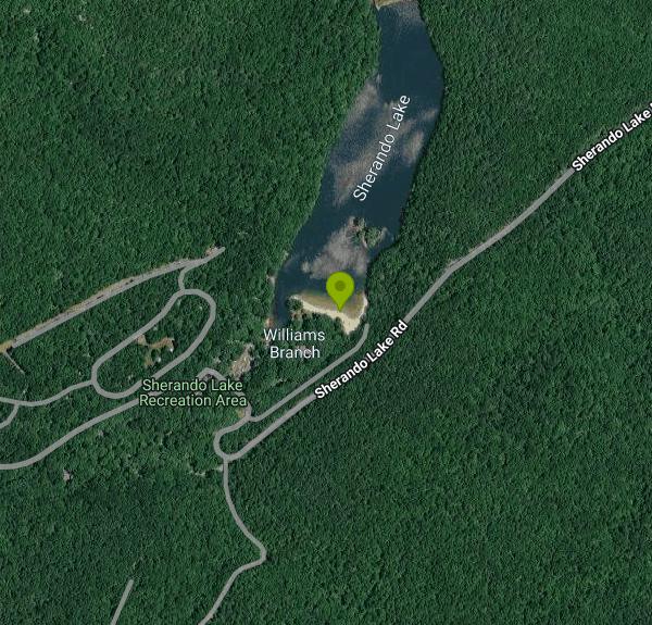
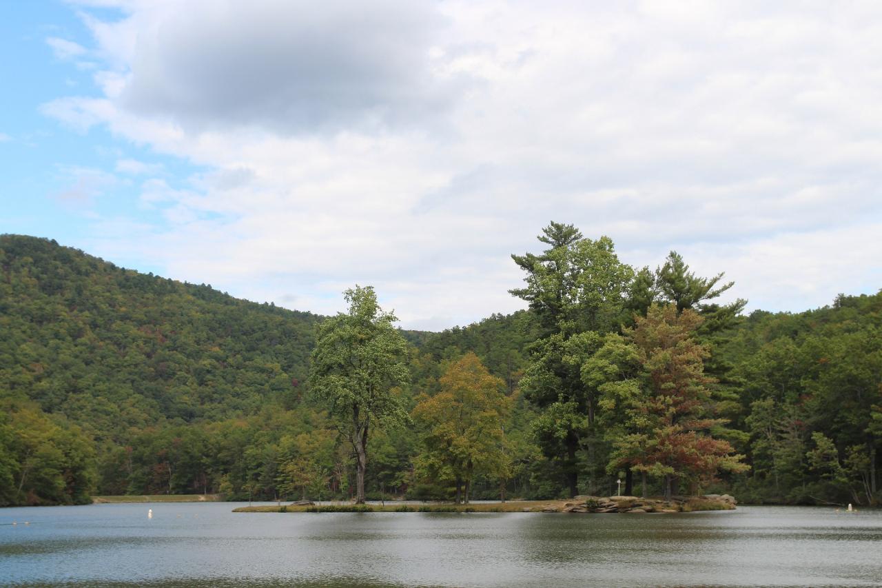
The swim area is a roped and buoyed section along the south shore of the lower lake, in front of a sand beach with a grassy slope above it and a small wooded island just offshore. The bottom is sandy and deepens gradually, and because the lake is spring and stream fed the water stays cool even in late summer. There is an accessible ramp to the water's edge and a bathhouse with changing rooms and showers. No lifeguards are on duty, so everyone swims at their own risk. Swimming is allowed only from 6 am to 8 pm and only inside the outer ropes, and swimming in Upper Sherando Lake is banned.
It is not free. The day-use fee is $8 per vehicle for up to eight people, or $2 per person for walk-ins, vans and buses with more than eight passengers. You can pay a volunteer at the entrance station, use a fee envelope at the iron ranger, or use the automated fee machine. The forest's seasonal day-use pass covers the fee, and America the Beautiful Senior and Access passes cut it in half. The Forest Service lists day use as open April 1 through December, but the campground and main day-use area close for winter, so the beach is a late spring through early fall destination.
A Forest Service order for the recreation area bans alcohol on the beach, in the picnic areas and in the parking lots, bans glass on the beach, keeps dogs (other than service animals) off the beach and out of the swim area, and prohibits organized games there. Nobody may be on the beach after dark or on either concrete dam or spillway riser. Plan ahead for 2027: the Forest Service approved a project to replace the failing water system and rebuild the day-use bathhouse, and Recreation.gov says Sherando Lake is expected to close for part of the 2027 season while that work happens. Check the Forest Service page for current conditions before driving out.
Outside the ropes the lake is open to hand-carried canoes, kayaks and boats with electric trolling motors; gasoline motors are banned on both lakes. The lower lake is stocked with trout in spring and fall and also holds bass and sunfish. There are lakeside picnic tables, a CCC-built group shelter at Williams Branch, weekend campfire programs at the amphitheater in summer, and a campground with three loops. The Lakeside Trail circles the water, and the Cliff Trail climbs to views over the valley.
More Information
6 Refreshing Swimming Holes Near Staunton | Visit Staunton
Escape the ordinary this summer & cool off in a swimming hole! Find cascading waterfalls & hidden gems all within a short drive of Staunton
https://visitstaunton.com/plunge-into-summer-6-staunton-area-swimming-holes/George Washington and Jefferson National Forests | Passes | Forest Service
An official website of the United States government
https://www.fs.usda.gov/r08/gwj/passesGeorge Washington and Jefferson National Forests | Project Summary (#301401) | Forest Service
Project at the Sherando Lake Recreation Area to address the failing water distribution system, replacement of a bathhouse, construction of an accessible boat launch, and renovation of a former stone boat launch area.
https://www.fs.usda.gov/r08/gwj/projects/301401George Washington and Jefferson National Forests | Sherando Lake Recreation Area | Forest Service
Sherando Lake Recreation Area is known locally as the jewel of the Blue Ridge Mountains. Families enjoy picnicking in this shaded and woody area, while relaxing on the sandy beach of a 25-acre spring-fed lake. Access to multiple trailheads and rustic architecture provide numerous points of interest for families to enjoy.
https://www.fs.usda.gov/r08/gwj/recreation/sherando-lake-recreation-areaGeorge Washington and Jefferson National Forests | Sherando Lake visitor rules | Forest Service
The following prohibitions apply within the Sherando Lake Recreation Area.
https://www.fs.usda.gov/r08/gwj/alerts/sherando-lake-visitor-rulesSherando Lake Group Picnic Shelter, George Washington & Jefferson National Forest - Recreation.gov
Explore Sherando Lake Group Picnic Shelter in George Washington & Jefferson National Forest, Virginia with Recreation.gov. Sherando Lake Group Picnic Shelter, also known as the Williams Branch Group Picnic Shelter is a part of the Sherando Lake Recreation Area. The recreation area i
https://www.recreation.gov/camping/campgrounds/233201Sherando Lake Recreation Area Family Camping, George Washington & Jefferson National Forest - Recrea
Explore Sherando Lake Recreation Area Family Camping in George Washington & Jefferson National Forest, Virginia with Recreation.gov. Sherando Lake Recreation Area's Family Campground provides an ideal camping destination. It is situated in the Blue Ridge Mountains and is known locally as the
https://www.recreation.gov/camping/campgrounds/234688Sherando Lakes
The Civilian Conservation Corps (C.C.C) built Lower Sherando Lake (20 acres) in the mid-1930s, and the U.S. Soil Conservation Service built Upper Sherando Lake (seven acres) in 1958, both as flood control lakes. They are owned by the U. S. Forest Service and located in the George Washington and Jefferson National Forests. Full recreational facilities include campgrounds, swimming beach, bathhouse, and hiking trails. Small boats and canoes must be carried in, as there is no ramp. Lower Sherando has a very good largemouth bass fishery. Bluegill and redear sunfish angling improved in the 1990s. Trophy channel catfish are present due to some changes in the stocking plan. Both lakes are stocked with catchable trout. The upper lake was drained in October 2001 and was restocked with largemouth bass, bluegill, and redear sunfish in 2002. Trout stocking and channel catfish stocking also resumed in 2002 in the upper lake.
https://dwr.virginia.gov/waterbody/sherando-lakes/Visit Shenandoah Valley - Sherando Lake: 24 Acres of Summer Fun
Amtrak – You can reach the Valley directly by train by traveling to the Amtrak station in Staunton, or indirectly by traveling to stations in short driving distance in Charlottesville, Lynchburg, the Washington, D.C. area, and in Harpers Ferry and Martinsburg, West Virginia. Also see Amtrak Virginia.
https://visitshenandoah.org/whats-new/sherando-lake-24-acres-of-summer-fun/Be courteous, informed, and prepared. Read trailhead guidelines, stay on the trail, and don't feed the wildlife.
Read More
- Plan Ahead and Prepare
- Travel & camp on durable surfaces
- Dispose of waste properly
- Leave what you find
- Minimize campfire impacts
- Respect wildlife
- Be considerate of other visitors
Directions
From Lyndhurst
- Head northeast on Orient Wy toward Pennsylvania Ave (0.6 mi)
- Turn right onto NJ-17 N/
Rutherford Ave Continue to follow NJ-17 N(0.9 mi) - Take the NJ-3 E ramp to New York/
New Jersey Turnpike (0.3 mi) - Merge onto NJ-3 (0.5 mi)
- Take the exit toward NJ-120 N/
E Rutherford/ Arena/ Stadium/ Racetrack/ Training Facility (0.1 mi) - Continue onto Sheraton Plaza Dr (0.2 mi)
- Turn right to merge onto I-95 S/
NJ Turnpike S Toll road(7.0 mi) - Take exit 14-14 A-14 B-14 C for I-78 W toward US-1/
US-9/ Newark Airport Toll road(1.6 mi) - Continue onto I-78 WToll road(0.1 mi)
- Keep left to continue on I-78 Express W/
Phillipsburg–Newark Expy, follow signs for I-78 W/ Garden State Parkway/ Clinton Toll road(9.2 mi) - Continue onto I-78 W/
Phillipsburg–Newark Expy (16.9 mi) - Slight right to stay on I-78 WToll roadEntering Pennsylvania(109 mi)
- Take the exit onto I-81 S toward Harrisburg (18.8 mi)
- Keep right to stay on I-81 S, follow signs for Interstate 81 S/
US-322 W/ N Harrisburg/ Carlisle Passing through Maryland, West VirginiaEntering Virginia(210 mi) - Take exit 221 for I-64 E toward Richmond (0.5 mi)
- Continue onto I-64 E (9.0 mi)
- Take exit 96 for VA-624 toward Waynesboro/
Lyndhurst (0.2 mi) - Turn right onto S Delphine Ave (1.2 mi)
- Continue onto Mt Torrey Rd (8.7 mi)
- Turn right onto Sherando Lake Rd (1.9 mi)
- Turn right (0.2 mi)
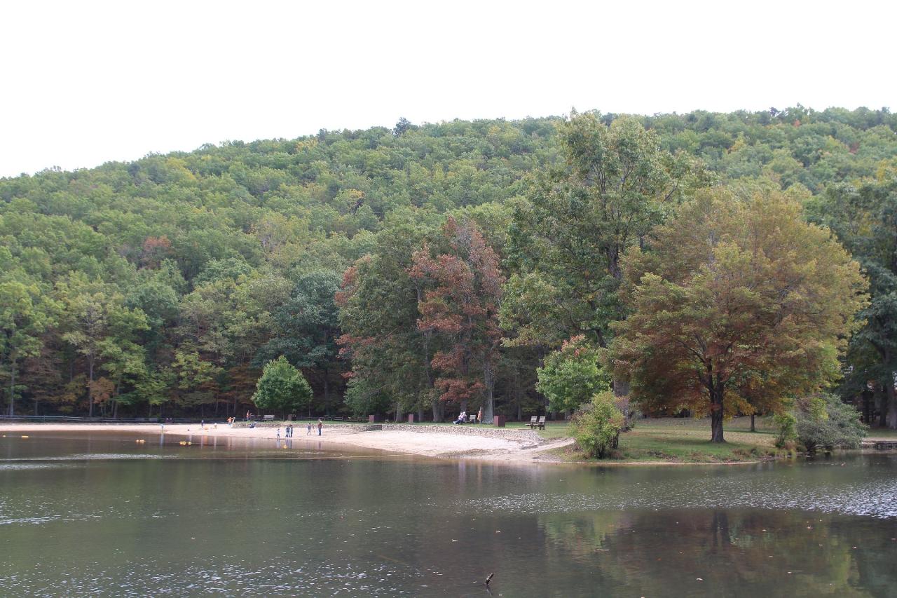
 The sand beach and swim area on Lower Sherando Lake, seen from across the water. courtesy of Mateusz Panasiuk↗ (CC BY-SA 4.0↗)
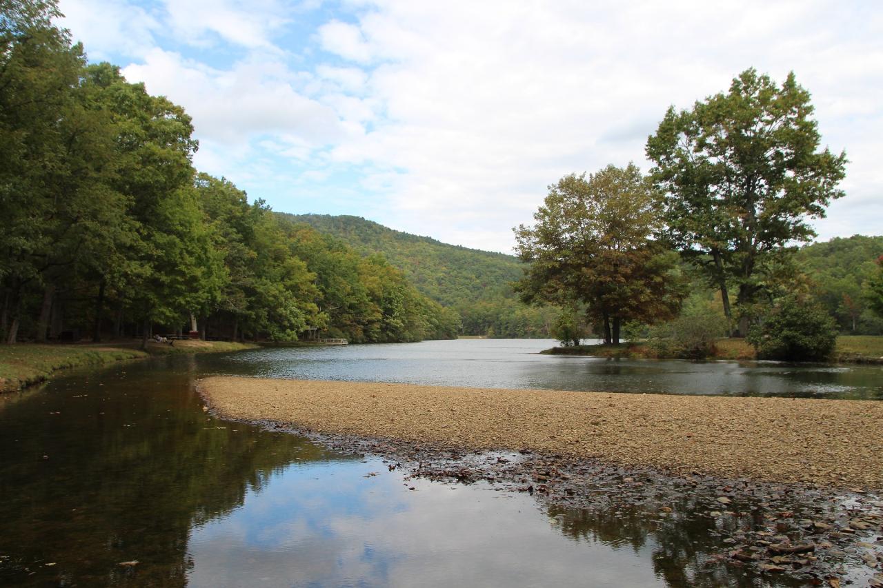
 Sandy shoreline at the edge of Lower Sherando Lake in early autumn. courtesy of Mateusz Panasiuk↗ (CC BY-SA 4.0↗)
 The wooded island off the beach, with swim-area buoys in the water. courtesy of Mateusz Panasiuk↗ (CC BY-SA 4.0↗)
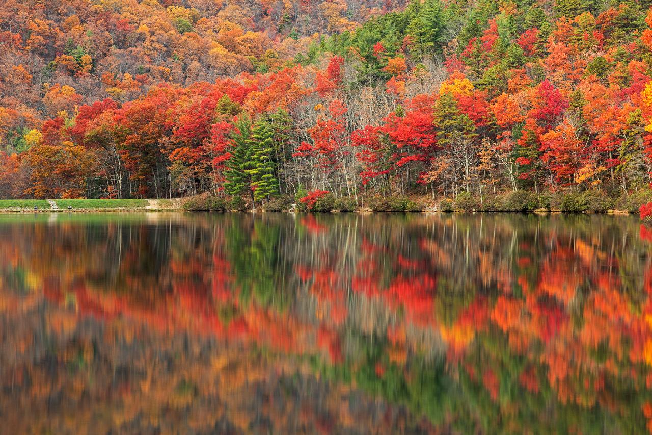
 Fall color reflected in Lower Sherando Lake. courtesy of Nicolas Raymond from Bethesda, Maryland, USA↗ (CC BY 2.0↗)
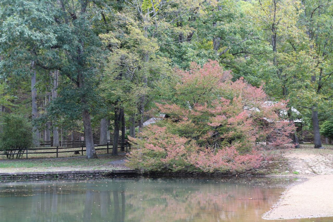
 Gravel shore and stone retaining wall along Lower Sherando Lake. courtesy of Mateusz Panasiuk↗ (CC BY-SA 4.0↗)
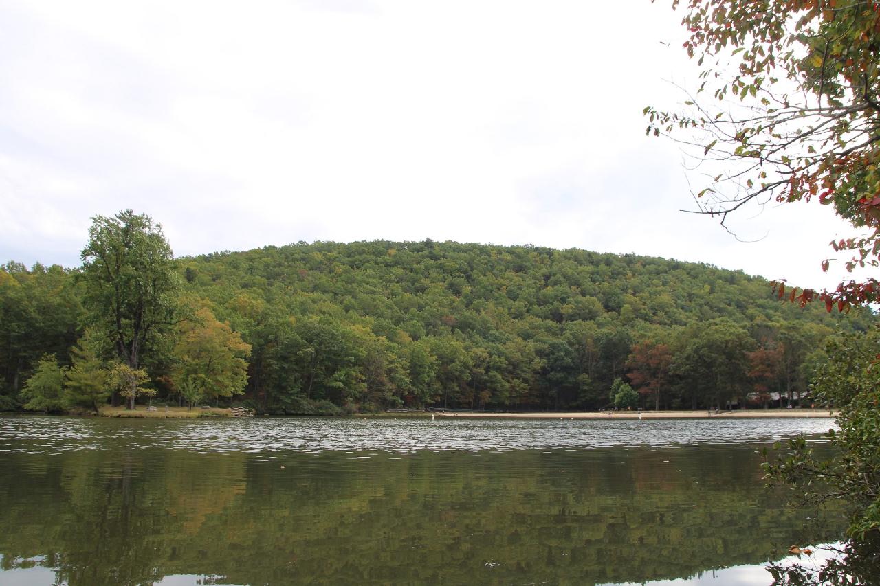
 Trees turning color beside the sand at the lower lake. courtesy of Mateusz Panasiuk↗ (CC BY-SA 4.0↗)
Other Swimming Holes, Hiking Trails, Canoeing Areas, and Kayaking Areas Nearby
Campbell Creek
Tyro, Virginia
3.2 miles SA 6-mile Appalachian Trail stretch with good elevation rewards remote explorers with a creek pool at the base of a waterfall — optional swimwear in this backcountry spot.
Swim
St. Mary's Falls
Raphine, Virginia
5.2 miles WBlue-green water and unique low rock formations set the scene at this cascading waterfall swimming hole in St. Mary's Wilderness — a 4.4-mile out-and-back hike through George Washington National Forest.
Hike, Swim
Pauls Creek
Nellysford, Virginia
7.5 miles EA quick 1.2-mile hike along Paul's Creek leads to a cascading waterfall and a natural water slide — stones smoothed by the water let visitors slide right into the swimming hole below.
Hike, Swim
Big Marys Creek Slide
Vesuvius, Virginia
11.5 miles WA natural waterslide that launches you into a swimming hole below, with waterfalls and cool water in the Virginia hills — wear swimwear and foot protection, and check depth first.
Swim
Mint Springs Valley Park
Crozet, Virginia
18.6 miles NETwo small lakes with sandy beaches, miles of forested hiking and mountain biking trails, a sand volleyball pit, and a playground — all in an eight-acre valley park near Crozet, Virginia.
Hike, Mountain Bike, Swim 15.7 mi
Sugar Hollow
Crozet, Virginia
20.4 miles NEAn 11-mile loop starting and ending at Sugar Hollow Reservoir, passing Blue Hole and Rip Rap swimming holes — a hiker's way to combine challenge with a cool dip in Shenandoah.
Hike, Swim
Panther Falls
Amherst, Virginia
21.5 miles SWPanther Falls is one of the most popular swimming holes in the central Virginia mountains, a broad, boulder-framed cascade on the Pedlar River just east of the Blue Ridge Parkway near Buena Vista and...
Swim 6.1 mi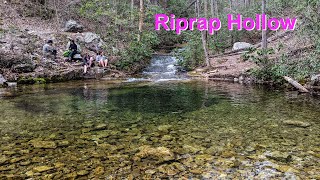
Rip Rap Hollow
Crozet, Virginia
22.0 miles NEA 50-foot, mountain-fed swimming hole on a difficult 10-mile Shenandoah Valley loop that also passes Chimney Rock and a scenic waterfall — cold, clear, and worth the effort.
Hike, Swim
Ben Salem Wayside
Lexington, Virginia
24.2 miles SWSwim near Lexington, Virginia
Swim
Charlottesville Area
Williamsville, Virginia
28.7 miles NETwo swimming spots north of Charlottesville, Virginia — a fee applies, so check details before heading out.
Swim
Natural Chimneys
Mount Solon, Virginia
30.6 miles NTowering vertical limestone formations draped in trees and vines, with shallow river swimming holes, 2.5 miles of hiking and biking trails, and a well-equipped 135-site campground.
Camp, Hike, Mountain Bike, Swim
Stokesville Campground
Madison, Virginia
31.0 miles NSwim near Madison, Virginia
Swim
North River Gap
Mount Solon, Virginia
31.6 miles NA free recreation area with an easy 2.4-mile river gorge hike through lush forest, a wading and swimming spot in the North River, and primitive campsites for $5 a night.
Camp, Hike, Swim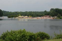
Chris Greene Lake Park
Charlottesville
35.0 miles NEAn Albemarle County park lake seven miles north of Charlottesville with a lifeguarded sand beach, open daily in summer for a small county entry fee ($3 residents, $5 non-residents).
Canoe, Hike, Kayak, Swim
Arnold Valley Pool
Natural Bridge Station, Virginia
35.8 miles SWArnold Valley Pool is a secluded Blue Ridge swimming hole near Natural Bridge Station, VA, with a 12-foot pool, natural slide, and rope swing.
Swim
Cowpasture River Area
Millboro, Virginia
36.8 miles WSwim near Millboro, Virginia
SwimBullpasture Gorge
Williamsville, Virginia
37.7 miles NWBullpasture Gorge is a wild and beautiful river canyon in the remote western highlands of Virginia, where the Bullpasture River carves a dramatic gorge through Highland County near Williamsville. A...
Canoe, Hike, Kayak, Whitewater
Longdale
Clifton Forge, Virginia
39.2 miles WSwim near Clifton Forge, Virginia
Swim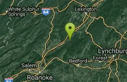
North Creek Area
Mount Solon, Virginia
42.4 miles SWSeveral swimming holes tucked into Jefferson National Forest offer very private dips, with some naturally secluded spots near I-81 and others openly exposed at Jennings Creek.
Swim
Fridley Gap
Keezletown, Virginia
42.9 miles NA small, chest-deep swimming hole at the halfway point of a beautiful George Washington National Forest loop — cold all year and only 0.5 miles from the trailhead.
Hike, SwimNearby Campsites
Natural Chimneys
Mount Solon, Virginia
30.6 miles NTowering vertical limestone formations draped in trees and vines, with shallow river swimming holes, 2.5 miles of hiking and biking trails, and a well-equipped 135-site campground.
Camp, Hike, Mountain Bike, Swim
North River Gap
Mount Solon, Virginia
31.6 miles NA free recreation area with an easy 2.4-mile river gorge hike through lush forest, a wading and swimming spot in the North River, and primitive campsites for $5 a night.
Camp, Hike, Swim
Bear Creek Lake State Park Beach
Cumberland, Virginia
48.5 miles SESand beach on the 40-acre lake at Bear Creek Lake State Park, tucked inside Cumberland State Forest between Richmond and Lynchburg, with camping, cabins and 30 miles of trail.
Camp, Hike, Kayak, Mountain Bike, Swim


