


Edward MacDowell Lake
Peterborough
Canoe, Hike, Kayak, and Swim
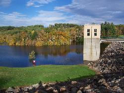
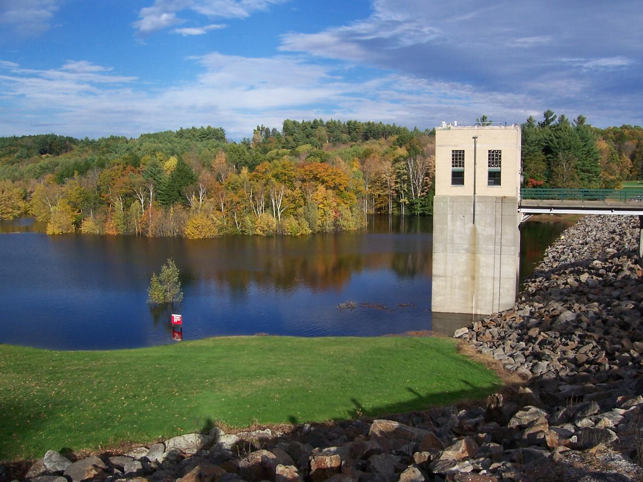
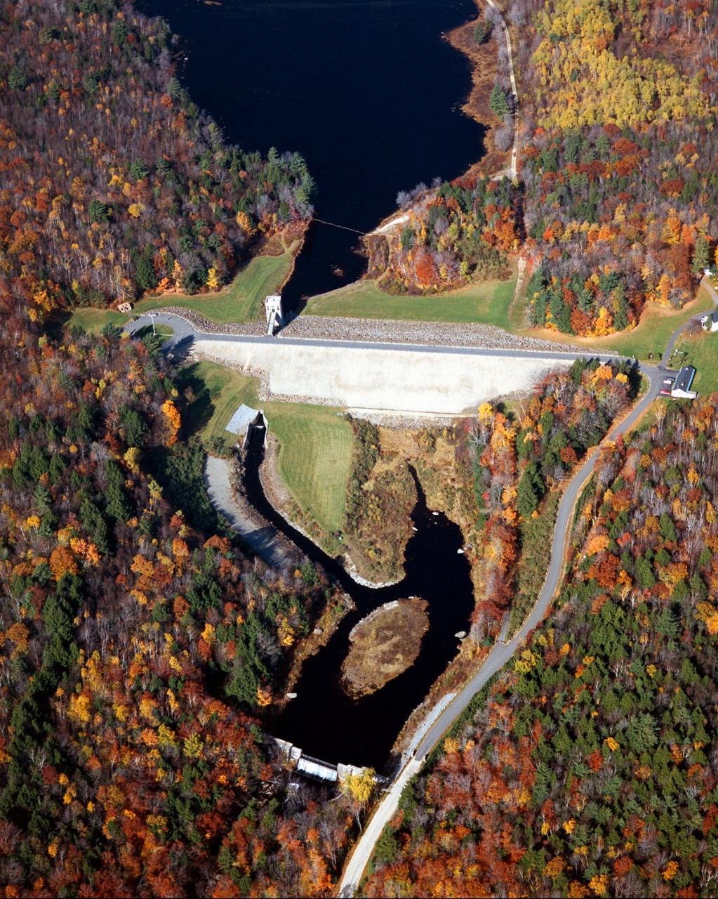
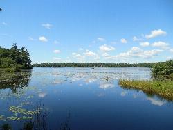
Edward MacDowell Lake is a flood-control reservoir on Nubanusit Brook in the west part of Peterborough, in New Hampshire's Monadnock Region. The U.S. Army Corps of Engineers built the dam and still runs the recreation area around it, which the Town of Peterborough lists as MacDowell Dam. Some swimming guides call the water MacDowell Reservoir, and that is also the name on the federal water-body records. The lake covers about 165 acres inside a project of roughly 1,200 acres of forest, lawn and wetland, and it is named for the composer Edward MacDowell, whose wife Marian founded the MacDowell artists' colony in town in 1907.
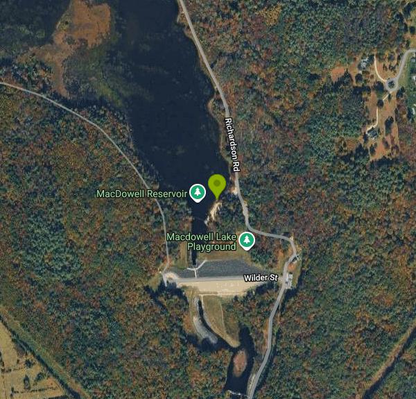
To get there, leave Route 101 in Peterborough at Union Street, drive about half a mile, then turn left on Wilder Street and follow it to the end at 75 Wilder Street. The road climbs past the project office and splits. One branch crosses the top of the earthen dam to a parking circle and group shelter on the west side. The other heads north along the east shore to the day-use parking lots, which sit just above the beach.
The swim beach is a small sand beach on the east shore, a short walk north of the dam, with a picnic shelter, restrooms and a playground on the lawn behind it. There are no lifeguards, and the Corps posts it as a swim-at-your-own-risk beach. Pets are allowed in the park on a leash but not on the beach, and glass is not allowed on the sand. The lake is a reservoir, so the level and the size of the beach can change after heavy rain, and the Corps warns that the whole park can flood in big storms. Water-quality advisories can be posted at the beach at any time, so check for signs before you go in.
Admission is free. The Town of Peterborough describes the park as day use only with free admission, and the Corps does not list any day-use fee for the beach. The only reservable items are the two group picnic shelters, booked through Recreation.gov. Summer hours are 8am to 8pm, and the rest of the year the park is open sunrise to sunset. Camping and any occupancy between 8pm and 8am are prohibited. For current conditions, call the project office at 603-924-3431.
Grills are for charcoal only (bring your own) or self-contained gas grills, and ground fires are banned. A car-top launch just north of the beach suits canoes and kayaks, and the lake holds largemouth bass, pickerel, perch and horned pout. Several trails loop through the woods and wetlands, including the West Ridge Trail along the far shore, the Wetland Wonder Trail and the Sand Pit Trail. You can also walk across the top of the dam for a view up the lake toward the intake tower. Park rangers run interpretive programs and a Junior Ranger program for kids 6 to 12.
More Information
Edward Macdowell Lake - Camping | New Hampshire | Recreation.gov
Reserve camping, permits & activities at Edward Macdowell Lake, New Hampshire. 1 campgrounds. Book official reservations on Recreation.gov.
https://www.recreation.gov/gateways/209Edward Macdowell Lake Day Use Facilities, Edward Macdowell Lake - Recreation.gov
Explore Edward Macdowell Lake Day Use Facilities in Edward Macdowell Lake, New Hampshire with Recreation.gov. Edward MacDowell Lake is situated in a quiet corner of the Monadnock Region of New Hampshire. This day-use area lies just off State Route 101 on the shores
https://www.recreation.gov/camping/campgrounds/234176Nubanusit BK Blw Macdowell Dam NR Peterborough NH - USGS Water Data for the Nation
Discover water data collected at monitoring location USGS-01083000, located in Hillsborough County, New Hampshire and find additional nearby monitoring locations.
https://waterdata.usgs.gov/monitoring-location/USGS-01083000Be courteous, informed, and prepared. Read trailhead guidelines, stay on the trail, and don't feed the wildlife.
Read More
- Plan Ahead and Prepare
- Travel & camp on durable surfaces
- Dispose of waste properly
- Leave what you find
- Minimize campfire impacts
- Respect wildlife
- Be considerate of other visitors
Directions
- Get directions on Google Maps
Other Swimming Holes, Hiking Trails, Canoeing Areas, and Kayaking Areas Nearby
Contoocook Beach
Jaffrey
6.9 miles SContoocook Beach is the Town of Jaffrey's sand beach on 344-acre Contoocook Lake, with a buoyed swim area, a bathhouse and concession stand, and Mount Monadnock filling the skyline across the water. Swimming is free for everyone, but the parking lot is re
Canoe, Hike, Kayak, Swim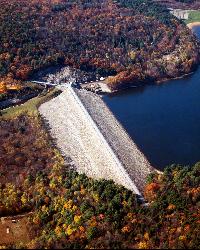
Surry Mountain Lake Beach
Surry
18.3 miles NWA free Army Corps of Engineers beach on Surry Mountain Lake, six miles north of Keene, with a long sandy swim area, no lifeguards, and weekly water testing that sometimes brings summer bacteria advisories.
Canoe, Hike, Kayak, Swim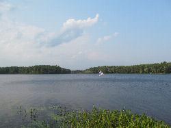
Lake Dennison Recreation Area
Winchendon
18.3 miles SA DCR-run state recreation area in Winchendon with a sandy beach on Lake Dennison, a wooded Army Corps lake. Summer parking is $8 for Massachusetts plates and $30 for others.
Camp, Canoe, Hike, Kayak, Swim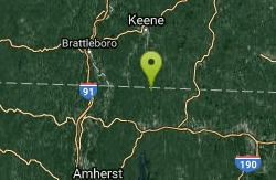
Royalston Falls
Royalston, Massachusetts
18.5 miles SWSwim near Royalston, Massachusetts
Swim
Doane Falls
Royalston, Massachusetts
20.2 miles SWSwim near Royalston, Massachusetts
Swim
Pisgah State Park
Hinsdale, New Hampshire
24.2 miles WA clothing-optional swimming area at Kilburn Pond inside Pisgah State Park — separate from the park's Pisgah Reservoir, so be sure to head to the right body of water.
Swim 2.1 mi
Wildcat Falls
Merrimack, New Hampshire
24.4 miles ECLOSED. THIS location has been closed until further notice. Effective June 26th, 2020 due to illegal activities and trail damage. An 87-acre conservation area along the Souhegan River featuring Wildcat Falls, pine and hardwood forest, a Heritage Trail extension, blueberry picking, and great bird watching in a cleared meadow.
Cross-country Ski, Dive, Hike, Mountain Bike, Snowshoe, Swim
Leominster State Forest
Princeton, Massachusetts
26.7 miles SOver 135 acres of surface water across five ponds in Leominster State Forest, with lifeguarded swimming at one pond, plus hiking, biking, and permitted rock climbing. Fees apply.
Swim
Sandy Pond Beach
Ayer
31.8 miles SEAyer's lifeguarded town beach on Sandy Pond, a 73-acre kettle pond. Residents swim free; non-residents pay $8 a day ($5 for children) during the summer season.
Swim
Old Wilton Reservoir
Concord, New Hampshire
33.0 miles NESwim near Concord, New Hampshire
Swim
Merrimack River
Concord, New Hampshire
33.0 miles NESwim near Concord, New Hampshire
Swim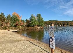
Lake Wyola State Park
Shutesbury
35.4 miles SWDCR's Carroll A. Holmes Recreation Area has a lifeguarded sand beach on the northwest shore of quiet Lake Wyola in Shutesbury, with a seasonal $8 (MA) or $30 (out-of-state) parking fee.
Canoe, Hike, Kayak, Swim
Greenfield Area
Southwick, Massachusetts
36.5 miles SWSwim near Southwick, Massachusetts
Swim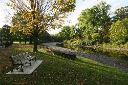
Green River Swimming and Recreation Area
Greenfield
37.8 miles SWGreenfield's municipal swim area on the Green River, where a low dam backs the current into a cold, slow pool with a sand beach, a WPA era bathhouse and lawns full of shade trees.
Swim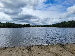
Heart Pond Beach
Chelmsford
38.2 miles SEFree, unguarded town beach on 91-acre Heart Pond in South Chelmsford, open dawn to dusk to residents and non-residents, right beside the Bruce Freeman Rail Trail.
Canoe, Kayak, Swim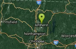
Puffers Pond
Amherst, Massachusetts
42.8 miles SWSwim near Amherst, Massachusetts
Swim
WWII Memorial Beach
Marlborough
42.9 miles SEMarlborough's lifeguarded city beach on Fort Meadow Reservoir, open daily in summer from 11 am to 6:45 pm. Free for Marlborough residents; non-residents pay a $20 daily parking fee.
Swim
Glacial Potholes
Shelburne Falls, Massachusetts
43.3 miles SWSwim near Shelburne Falls, Massachusetts
Swim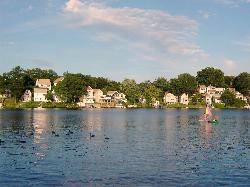
Regatta Point Beach
Worcester
44.3 miles SA small guarded swimming beach on Lake Quinsigamond in Worcester, part of DCR's Quinsigamond State Park, with lifeguards in summer and a daily DCR parking fee of $8 for Massachusetts plates and $30 for out-of-state plates.
Swim
Coes Pond Beach
Worcester
45.1 miles SWorcester's lifeguarded city beach on Coes Reservoir, officially the John J. Binienda Memorial Beach, with a bathhouse, free summer kayak and paddleboard loans, and trails around the pond. No admission fee.
Canoe, Hike, Kayak, Swim


