


233 Things to do near Union Falls & Ouzel Pool
first prev 1 2 3 4 5 6 7 8 9 10 next lastShowing results within 50 miles Distance miles of Union Falls & Ouzel Pool near Bechler Ranger Station, Yellowstone National Park City, Zip, or Address
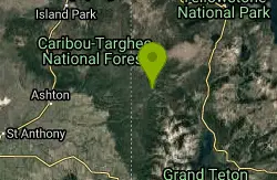
Fish Lake
Ashton, Idaho
0.0 miles SEHike near Ashton, Idaho
Hike 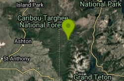
Loon Lake
Ashton, Idaho
0.8 miles SLoon Lake is a small, lively mountain lake tucked into the Caribou-Targhee National Forest just off Ashton's Fish Creek Road, in the timbered high country of eastern Idaho near the gateway to...
Camp, Kayak, Swim 
Cave Falls of Yellowstone
Ashton, Idaho
3.0 miles NWA campground right on the Fall River along Yellowstone's south boundary puts you steps from legendary fishing, with fire rings and bear-proof boxes at each site.
Camp, Hike 1.9 mi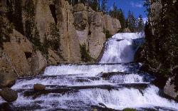
Terraced Falls
Grant Village, Yellowstone National Park
4.8 miles EAn easy 3.6-mile out-and-back hike to a tiered waterfall along the southern Yellowstone border — the trailhead is on the Ashton-Flagg Ranch Road, which closes in winter.
Hike 14.8-15.1 mi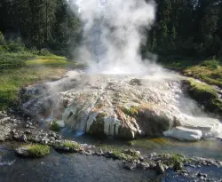
Mr. Bubbles Hot Spring
Old Faithful, Yellowstone National Park
5.3 miles WA remote 15-mile backcountry trek through Yellowstone's Bechler region to a rare wild soak fed by a thermal spring.
Hike, Hot Springs 
Sheep Falls on Fall River
Ashton, Idaho
7.9 miles WA local gem off Cave Falls Road where the river splits into multiple falls tumbling over each other — primitive campsites and beautiful views make it a great picnic stop.
Camp 
Horseshoe Lake
Ashton, Idaho
8.2 miles WA lily-pad-dotted lake hidden in the Targhee National Forest with a gradual beach entry perfect for wading, a floating dock for jumping, and no motorized boats.
Camp, Canoe, Dive, Swim 17.5 mi
Tear Drop Lake
Ashton, Idaho
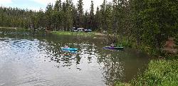
11.5 miles NWA small, lively lake in the Targhee forest for kayaking, swimming, and an easy loop trail — family fun with primitive lakeside camping.
Camp, Canoe, Hike, Kayak, Mountain Bike, Swim 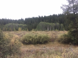
Porcupine Creek
Ashton, Idaho
13.9 miles WA backcountry hunting, fishing, camping, and swimming spot in Targhee National Forest, surrounded by forests, meadows, a creek, and unmarked trails — bear country, so pack and store food carefully.
Camp, Swim 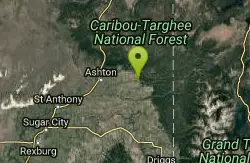
Falls River, Lower Run
Ashton, Idaho
15.5 miles WFall River rises on Yellowstone's Pitchstone Plateau and flows about 64 miles before joining the Henrys Fork of the Snake River near Ashton, Idaho — a scenic river run worth knowing.
Whitewater 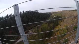
Bitch Creek Trestle
Tetonia, Idaho
15.7 miles SWA Rails-to-Trails railroad bridge converted into an easy family viewpoint above Bitch Creek — part of the 30-mile Ashton-Tetonia Trail with more trestle adventures nearby.
Hike 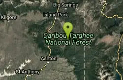
Flat Canyon Trail
Island Park, Idaho
17.0 miles NWA non-motorized trail in Island Park, Idaho — a peaceful ride through the forest with no engines to share the trail with.
Mountain Bike 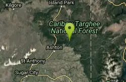
The Pit
Ashton, Idaho
17.0 miles WA wide-open, locals-only shooting spot near Ashton with no one around — stay away from the main road and watch for other target shooters.
Airsoft, Paintball 0.3-0.6 mi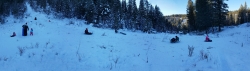
Bear Gulch
Ashton, Idaho
17.1 miles WAn abandoned ski hill from 1969 with overgrown runs that still deliver great sledding — the lower run is fast and winding all the way down to the old ski lift.
Camp, Cross-country Ski, Hike, Sled 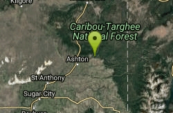
Warm River Campground
Ashton, Idaho
18.1 miles WSlow-moving warm water and willow-lined banks make this campground a perfect spot for tubing, trout fishing, and peaceful mountain biking at 5,200 ft elevation.
Camp 3.2-47.0 mi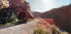
Yellowstone Branch Line Trail
Ashton, Idaho
18.2 miles WA 39-mile trail from Warm River to the Montana border — open to backpackers, hikers, mountain bikers, horseback riders, and ATVs through the Targhee National Forest.
Backpack, Cross-country Ski, Hike, Horseback, Mountain Bike 0.1 mi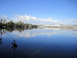
Lewis Lake Campground
Grant Village, Yellowstone National Park
19.1 miles NEYellowstone's third-largest lake draws canoeists, kayakers, and serious anglers, with a quiet campground open mid-June through early November on a first-come basis.
Camp, Canoe, Kayak 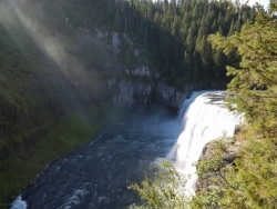
Mesa Falls
Ashton, Idaho
19.5 miles WUpper Mesa Falls drops 114 feet and spans 300 feet across the Henrys Fork — just 0.2 miles of paved walkway from the parking lot, with platforms, handrails, and morning rainbow mist.
Cross-country Ski, Hike, Kayak 2.6 mi
Lone Star Geyser Trail
Old Faithful, Yellowstone National Park
21.5 miles NA 4.8-mile round-trip trail through forest to a colorful geyser that erupts 30–45 feet into the air about every 3 hours — bikeable the entire way.
Hike, Mountain Bike 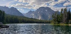
Mt. Moran
Alta, Wyoming
21.6 miles SAt 12,610 feet, this dominant Teton peak rises 6,000 feet above Jackson Lake, with the Skillet Glacier plainly visible on its massive east face.
Hike


