


Tear Drop Lake
Ashton, Idaho
| Address: | NF-094, Idaho, USA |
| GPS: |
44°13'27.6"N 111°7'43.0"W Maps | Directions |
| State: | Idaho |
| Trails/Routes: | 17.5 mi |
Lakes Trails Wildflowers Pet Friendly Bicycles Fishing Motorized Use Restrooms Picnic Tables
Camp, Canoe, Hike, Kayak, Mountain Bike, and Swim
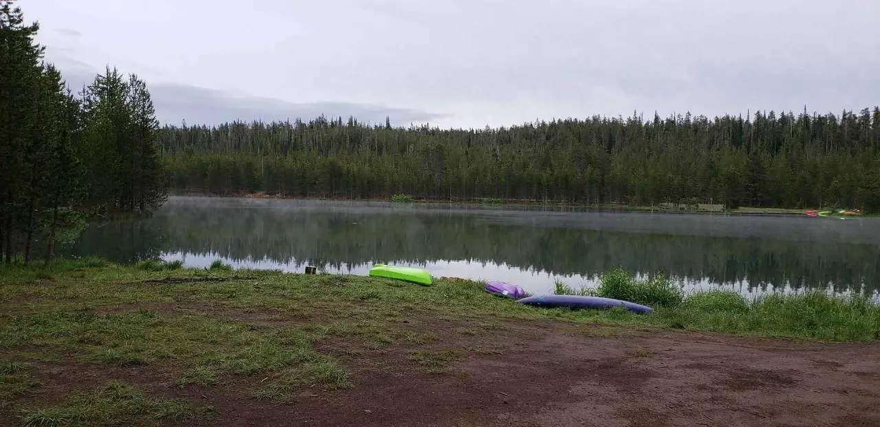
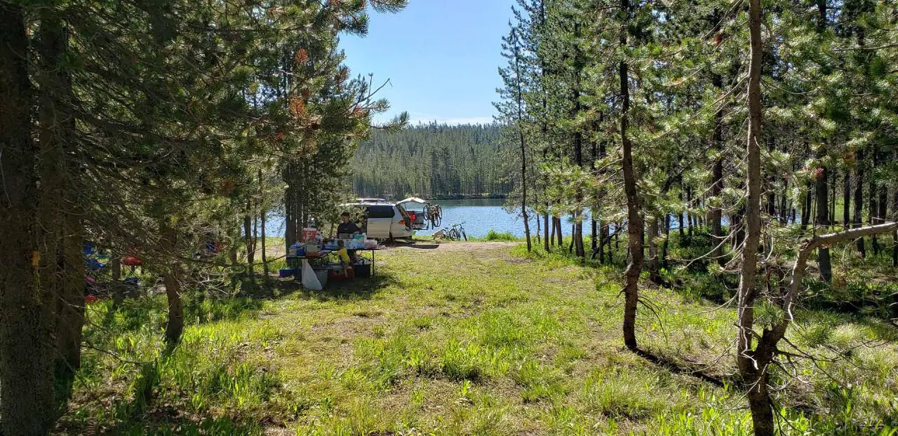
Nestled in the Targhee National Forest just off of Ashton's Fish Creek Road, this tear drop shaped lake is a family adventure waiting to happen. The lake isn't very big but it is teeming with life. Early in the morning the lake is so beautiful and calm that you can hear the fish jumping from across the water. Take your kayak out early and you can see well into the crystal waters. You could also take a hike or bike ride on the trail that circles the lake. It's got enough ups, downs, and turns to keep it interesting but is easy enough that even the most novice bikers can do it with ease.
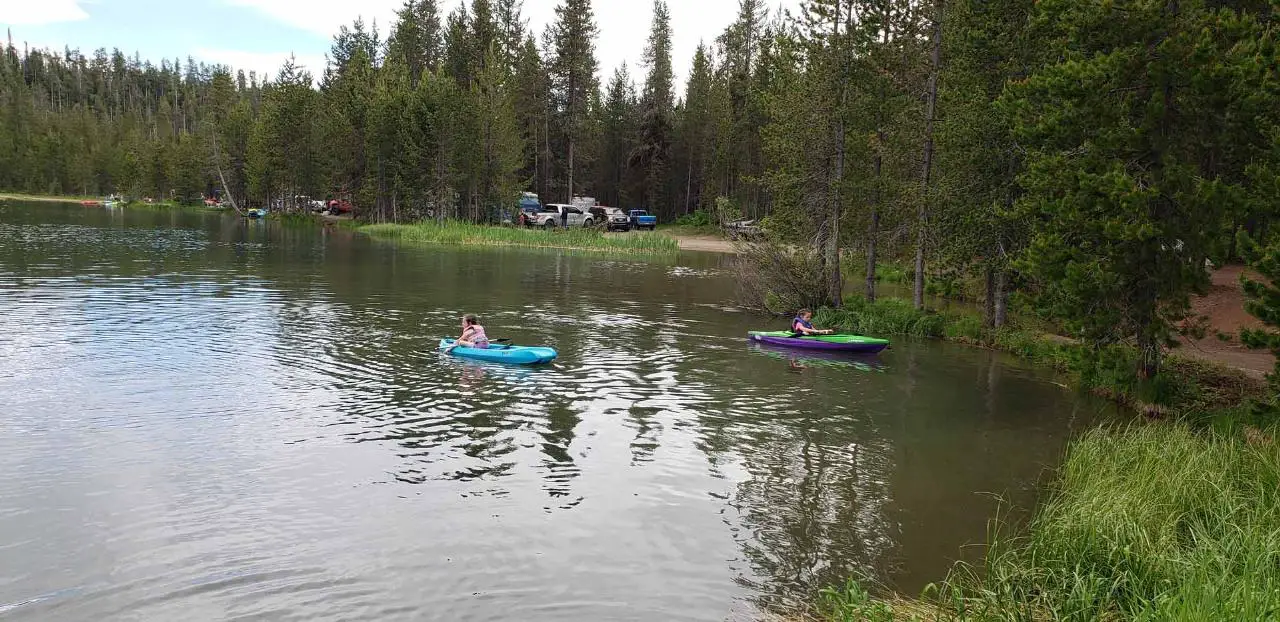
As it warms up a little, the kayaks take over and it becomes a playground for family fun. The lake is big enough for there to be plenty of room for everyone but small enough that you can feel safe with some of your younger ones out in the middle of a lake fighting to tip each others' kayaks over. The shores are great for wading and swimming. There have been rope swings and diving boards at times but there is a sign there prohibiting any such devices of mass fun and liability.
As the sun fades, everybody slowly retreats to their camps, the lake quiets down again, and fisherman have their time. If you haven't yet, now is the time to soak yourself in all your bug spray and get out your citronella torches. Yes, even the mosquitos are impressive here.
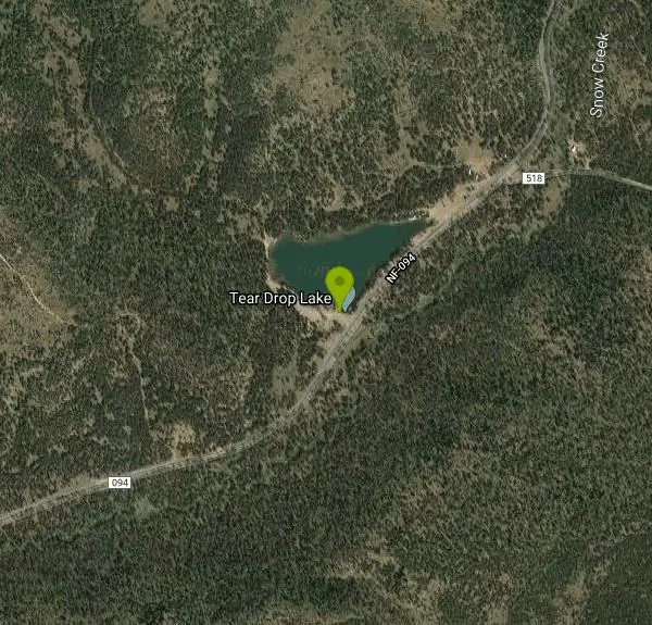
If you want to stay the night, camping is primitive and first-come, first-served, with rough sites tucked among the trees and rock outcroppings. There are somewhere around 10 such spots on the east and west ends of the lake.
The campsites here are primitive providing at most a place to park, a flat spot for your tent, and maybe a fire ring made There are no bathrooms, water pumps, or garbage cans here so come prepared with your own drinking water and the ability to properly dispose of your own waste. This is bear country so take care with your food and make sure you have a good way to store it overnight.
The setting is a big part of the charm. Tear Drop Lake sits high in the Caribou-Targhee National Forest above Ashton, in the beautiful Island Park country of eastern Idaho — the same region that holds Mesa Falls and the headwaters of the Henrys Fork — so it pairs naturally with a bigger day of exploring the area's waterfalls, forests, and blue-ribbon fishing streams. Reaching it means a drive up Fish Creek Road, so come with a full tank of gas and good directions.
This is one of those great free spots that hasn't been overrun with people or regulations yet. Please help to keep it that way by being considerate and following the principles of leave no trace.
More Information
Add ResourceNever modify trail features. Ride trails when they're dry enough that you won't leave ruts. Speak up when you see others on the trail and always yield to hikers, horses, and others coming uphill. Always ride on the established trail.
Read MoreBe courteous, informed, and prepared. Read trailhead guidelines, stay on the trail, and don't feed the wildlife.
Read More
- Plan Ahead and Prepare
- Travel & camp on durable surfaces
- Dispose of waste properly
- Leave what you find
- Minimize campfire impacts
- Respect wildlife
- Be considerate of other visitors
Directions
From Ashton, Idaho
- Head east on ID-47 N/
Main St toward S 6th St Continue to follow ID-47 N(8.5 mi) - Turn right onto Warm River Campground Rd (0.3 mi)
- Turn right onto Fish Creek Rd (10.1 mi)
- Turn right onto NF-094Destination will be on the left(3.3 mi)

Other Mountain Bike Trails, Swimming Holes, Hiking Trails, Canoeing Areas, and Kayaking Areas Nearby

Horseshoe Lake
Ashton, Idaho
4.5 miles SA lily-pad-dotted lake hidden in the Targhee National Forest with a gradual beach entry perfect for wading, a floating dock for jumping, and no motorized boats.
Camp, Canoe, Dive, Swim
Flat Canyon Trail
Island Park, Idaho
5.7 miles WA non-motorized trail in Island Park, Idaho — a peaceful ride through the forest with no engines to share the trail with.
Mountain Bike 14.8-15.1 mi
Mr. Bubbles Hot Spring
Old Faithful, Yellowstone National Park
6.6 miles SEA remote 15-mile backcountry trek through Yellowstone's Bechler region to a rare wild soak fed by a thermal spring.
Hike, Hot Springs
Cave Falls of Yellowstone
Ashton, Idaho
8.6 miles SEA campground right on the Fall River along Yellowstone's south boundary puts you steps from legendary fishing, with fire rings and bear-proof boxes at each site.
Camp, Hike 0.3-0.6 mi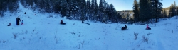
Bear Gulch
Ashton, Idaho
9.3 miles SWAn abandoned ski hill from 1969 with overgrown runs that still deliver great sledding — the lower run is fast and winding all the way down to the old ski lift.
Camp, Cross-country Ski, Hike, Sled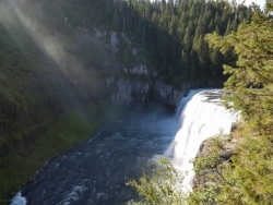
Mesa Falls
Ashton, Idaho
10.2 miles WUpper Mesa Falls drops 114 feet and spans 300 feet across the Henrys Fork — just 0.2 miles of paved walkway from the parking lot, with platforms, handrails, and morning rainbow mist.
Cross-country Ski, Hike, Kayak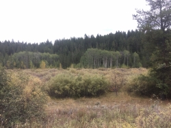
Porcupine Creek
Ashton, Idaho
10.5 miles SWA backcountry hunting, fishing, camping, and swimming spot in Targhee National Forest, surrounded by forests, meadows, a creek, and unmarked trails — bear country, so pack and store food carefully.
Camp, Swim 15.9-16.6 mi
Union Falls & Ouzel Pool
Bechler Ranger Station, Yellowstone National Park
11.5 miles SEA ~16-mile backcountry trek into Yellowstone's remote Bechler region rewards you with a 250-foot waterfall and Ouzel Pool — a warm-spring-fed swimming hole you can jump into.
Backpack, Hike, Hot Springs, Swim 1.1 mi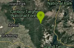
Fish Lake
Ashton, Idaho
11.5 miles SEHike near Ashton, Idaho
Hike 3.2-47.0 mi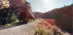
Yellowstone Branch Line Trail
Ashton, Idaho
11.6 miles SWA 39-mile trail from Warm River to the Montana border — open to backpackers, hikers, mountain bikers, horseback riders, and ATVs through the Targhee National Forest.
Backpack, Cross-country Ski, Hike, Horseback, Mountain Bike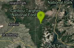
Loon Lake
Ashton, Idaho
11.7 miles SELoon Lake is a small, lively mountain lake tucked into the Caribou-Targhee National Forest just off Ashton's Fish Creek Road, in the timbered high country of eastern Idaho near the gateway to...
Camp, Kayak, Swim
Sheep Falls on Henry's Fork
Island Park, Idaho
13.6 miles WA 25-foot waterfall cascading through a narrow basalt chute on the North Fork of the Snake River — a pleasant, rarely crowded hike compared to nearby Mesa Falls.
Hike 1.9 mi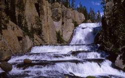
Terraced Falls
Grant Village, Yellowstone National Park
15.4 miles SEAn easy 3.6-mile out-and-back hike to a tiered waterfall along the southern Yellowstone border — the trailhead is on the Ashton-Flagg Ranch Road, which closes in winter.
Hike 0.6-4.7 mi
Harriman State Park
Island Park, Idaho
17.8 miles WAn 11,000-acre wildlife refuge 38 miles from Yellowstone along Henry's Fork — world-class fly-fishing, hiking among wildflowers and wildlife, plus 24 miles of Nordic ski trails in winter.
Cross-country Ski, Hike, Horseback, Mountain Bike, Snowshoe 0.8 mi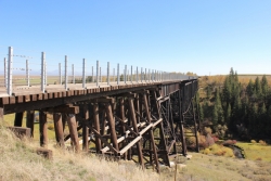
Conant Creek Pegram Truss Railroad Bridge
Ashton, Idaho
18.1 miles SWA spectacular converted railroad bridge with jaw-dropping views of Conant Creek hundreds of feet below — part of the 30-mile Ashton-Tetonia Trail, with vivid spring and fall colors and Teton backdrop.
Hike 0.9 mi
Buffalo River Campground
Island Park, Idaho
18.2 miles NWAn easy, clear, and often warm float on the Buffalo River near Island Park, with slow enough current to paddle back upstream in a canoe or kayak after your run.
Camp, Canoe, Kayak, Swim 29.6 mi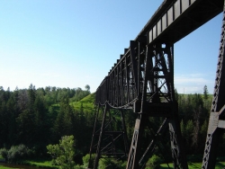
Ashton to Tetonia Trail
Ashton, Idaho
18.4 miles SWA 29.6-mile multi-use trail along a converted Union Pacific Railroad right-of-way from Ashton to Tetonia — open to bikes, ATVs, snowmobiles, runners, skiers, and horses with 787 ft of elevation gain southbound.
Mountain Bike 2.9 mi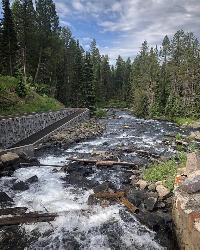
Box Canyon Trail
Island Park, Idaho
18.5 miles NWA scenic 3-mile riverside singletrack along Henry's Fork in Box Canyon — open to OHVs under 50 inches wide, with river views most of the trail and great trout fishing.
Hike, Mountain Bike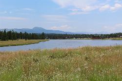
Box Canyon Island Park
Island Park, Idaho
18.7 miles NWPerched on the canyon rim above Henry's Fork, this lodgepole-shaded campground sits steps from short trails leading to dramatic Snake River views below.
Canoe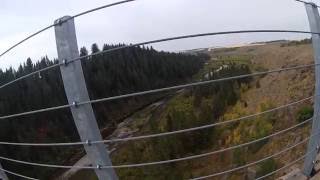
Bitch Creek Trestle
Tetonia, Idaho
18.8 miles SA Rails-to-Trails railroad bridge converted into an easy family viewpoint above Bitch Creek — part of the 30-mile Ashton-Tetonia Trail with more trestle adventures nearby.
HikeNearby Campsites
Horseshoe Lake
Ashton, Idaho
4.5 miles SA lily-pad-dotted lake hidden in the Targhee National Forest with a gradual beach entry perfect for wading, a floating dock for jumping, and no motorized boats.
Camp, Canoe, Dive, Swim
Cave Falls of Yellowstone
Ashton, Idaho
8.6 miles SEA campground right on the Fall River along Yellowstone's south boundary puts you steps from legendary fishing, with fire rings and bear-proof boxes at each site.
Camp, Hike 0.3-0.6 mi
Bear Gulch
Ashton, Idaho
9.3 miles SWAn abandoned ski hill from 1969 with overgrown runs that still deliver great sledding — the lower run is fast and winding all the way down to the old ski lift.
Camp, Cross-country Ski, Hike, Sled
Sheep Falls on Fall River
Ashton, Idaho
10.1 miles SA local gem off Cave Falls Road where the river splits into multiple falls tumbling over each other — primitive campsites and beautiful views make it a great picnic stop.
Camp
Porcupine Creek
Ashton, Idaho
10.5 miles SWA backcountry hunting, fishing, camping, and swimming spot in Targhee National Forest, surrounded by forests, meadows, a creek, and unmarked trails — bear country, so pack and store food carefully.
Camp, Swim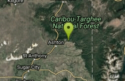
Warm River Campground
Ashton, Idaho
11.4 miles SWSlow-moving warm water and willow-lined banks make this campground a perfect spot for tubing, trout fishing, and peaceful mountain biking at 5,200 ft elevation.
Camp
Loon Lake
Ashton, Idaho
11.7 miles SELoon Lake is a small, lively mountain lake tucked into the Caribou-Targhee National Forest just off Ashton's Fish Creek Road, in the timbered high country of eastern Idaho near the gateway to...
Camp, Kayak, Swim 0.9 mi
Buffalo River Campground
Island Park, Idaho
18.2 miles NWAn easy, clear, and often warm float on the Buffalo River near Island Park, with slow enough current to paddle back upstream in a canoe or kayak after your run.
Camp, Canoe, Kayak, Swim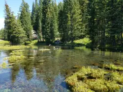
Big Springs
Island Park, Idaho
19.9 miles NA Big Springs campground shaded by Lodgepole Pines on Henry's Fork — with a 1-mile interpretive trail, fish feeding under the bridge, the historic Johnny Sack Cabin, and access to the Mesa Falls Scenic Byway.
Camp, Hike 14.8 mi
Biscuit Basin to Fairy Falls and Firehole Meadows
Old Faithful, Yellowstone National Park
20.5 miles NEA nearly 15-mile backcountry hike starting at Biscuit Basin passes turquoise pools, a 70-foot waterfall, Firehole Meadows, Imperial Geyser, and three stunning blue lakes with rust-red shores.
Backpack, Camp, Hike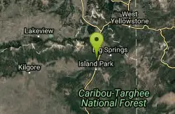
Upper Coffee Pot Campground
Island Park, Idaho
21.8 miles NWHenry's Fork of the Snake River winds through a lodgepole pine forest past this campground, offering fly-fishing for rainbow and brook trout and easy tubing and canoeing.
Camp, Canoe 0.1 mi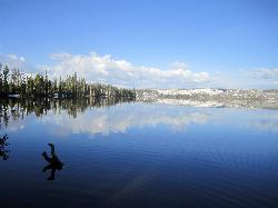
Lewis Lake Campground
Grant Village, Yellowstone National Park
25.1 miles EYellowstone's third-largest lake draws canoeists, kayakers, and serious anglers, with a quiet campground open mid-June through early November on a first-come basis.
Camp, Canoe, Kayak 6.9 mi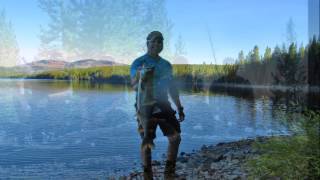
Heart Lake Trail
Grant Village, Yellowstone National Park
27.0 miles EAn 8-mile moderate hike to a remote backcountry lake with blue thermal pools, fumaroles, Rustic Geyser, and remarkable fishing for native cutthroat, mountain whitefish, and Arctic grayling.
Backpack, Camp, Hike, Hot Springs
Grant Village
Grant Village, Yellowstone National Park
30.3 miles NENamed for President Grant near Yellowstone Lake's West Thumb, this village has lakeside dining, a geyser basin next door, campfire ranger programs, and tree-lined campsites steps from the water.
Camp, Canoe, Kayak
Madison Campground
Madison, Yellowstone National Park
31.8 miles NEA partly wooded riverside campground at 6,800 feet in Yellowstone, close to Old Faithful and the geyser basins, with great fishing on the Madison River and 270-plus individual sites.
Camp
Reunion Flat Campground
Alta, Wyoming
33.5 miles SCamp near Alta, Wyoming
Camp 3.8-6.4 mi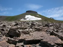
Table Rock / Table Mountain
Driggs, Idaho
34.0 miles SA big climb to 11,300 feet for arguably the finest view of the Grand Tetons — pick the steep Face or the gradual Huckleberry trail.
Camp, Hike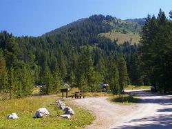
Teton Canyon Campground
Alta, Wyoming
34.0 miles STeton Canyon Campground is the gateway to Alaska Basin, Table Rock, and the Teton Crest Trail — each site stocked with a picnic table, fire ring, and bear box.
Camp
Pine Butte / The Caldera
St. Anthony, Idaho
34.4 miles WAn old volcano in the Idaho desert that feels like stepping into a mountain forest — pine-covered hillsides, a meadow ringed by aspen and boulders, and a quarter-mile easy trail to the caldera floor.
Camp, Hike, Horseback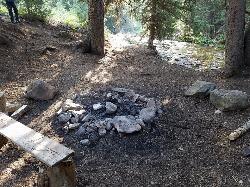
Darby Canyon Camping
Alta, Wyoming
38.4 miles SDispersed campsites with fire lays in scenic Darby Canyon — no official campground, just established spots in Wyoming wilderness. Leave No Trace and use existing rings only.
Camp


