


Battery Spencer
Mill Valley, California
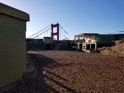
| Address: | Conzelman Rd, Mill Valley, CA 94941, USA |
| GPS: |
37°49'46.6"N 122°29'0.2"W Maps | Directions |
| State: | California |
Restrooms Trails
Hike
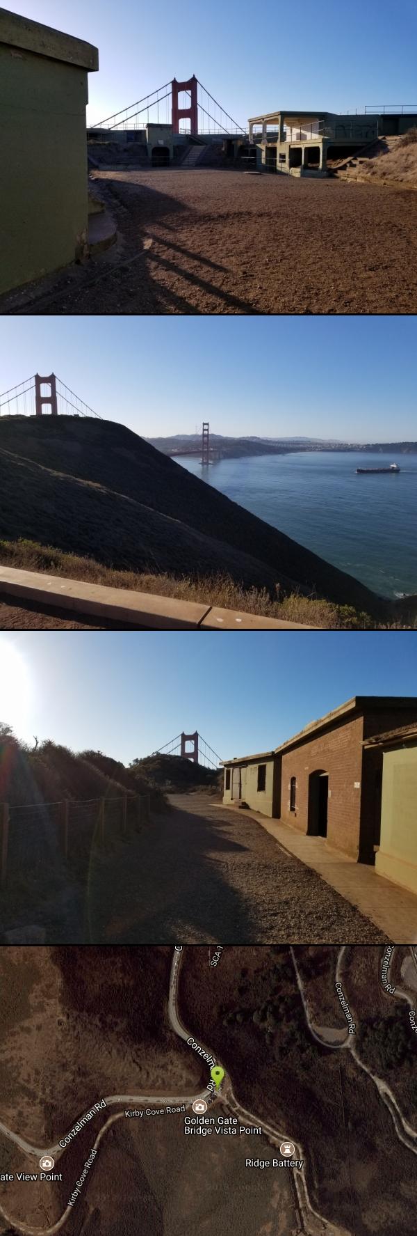
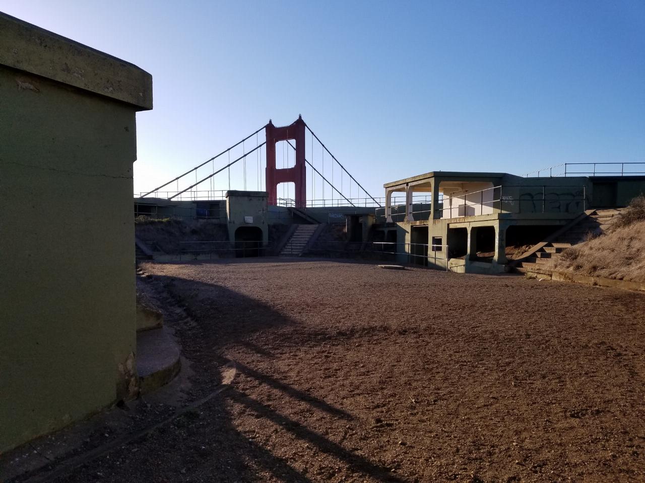
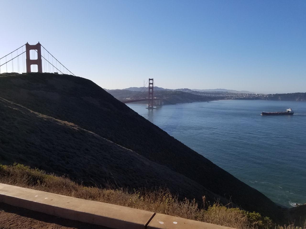
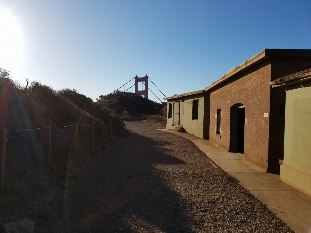
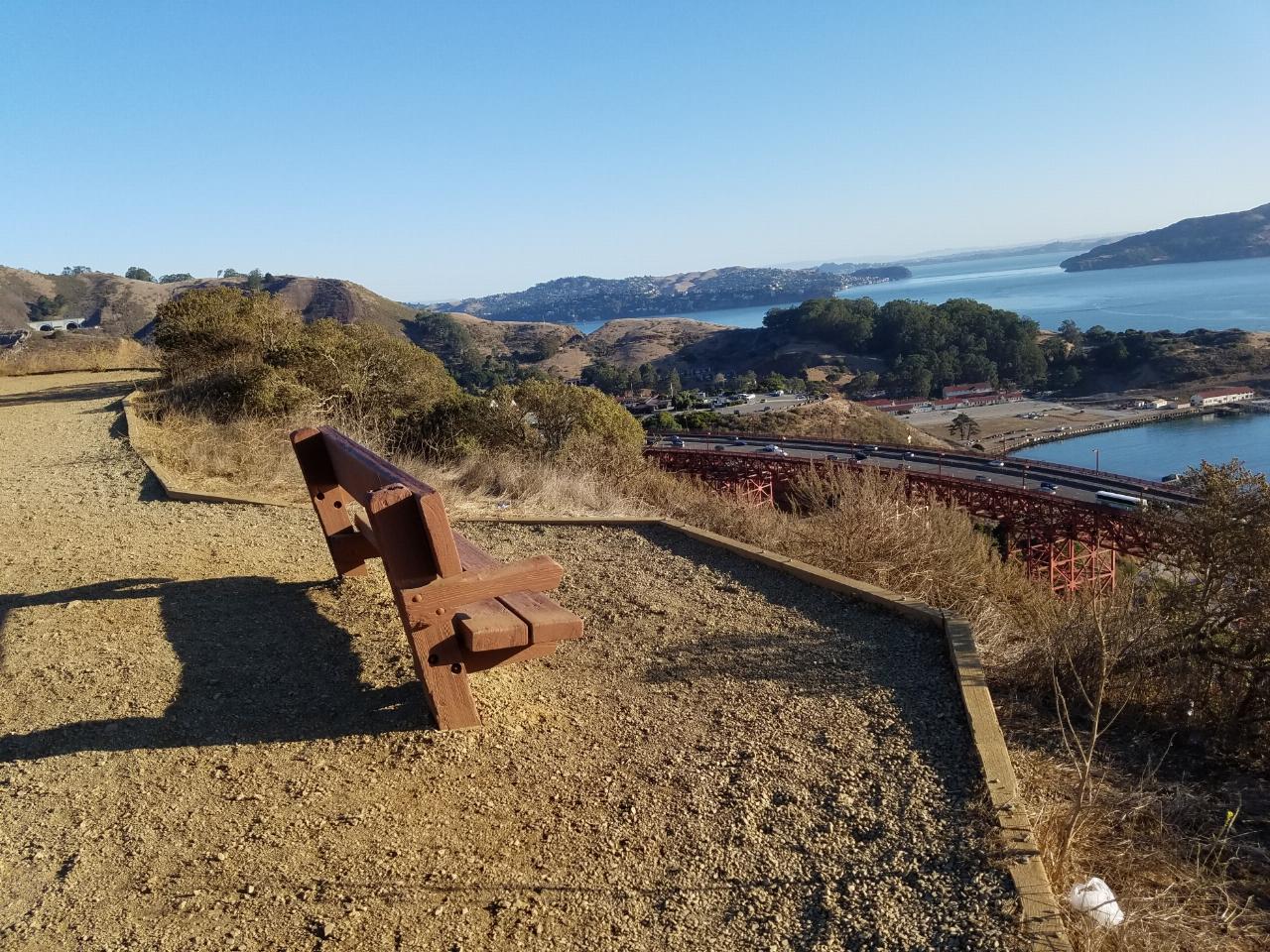
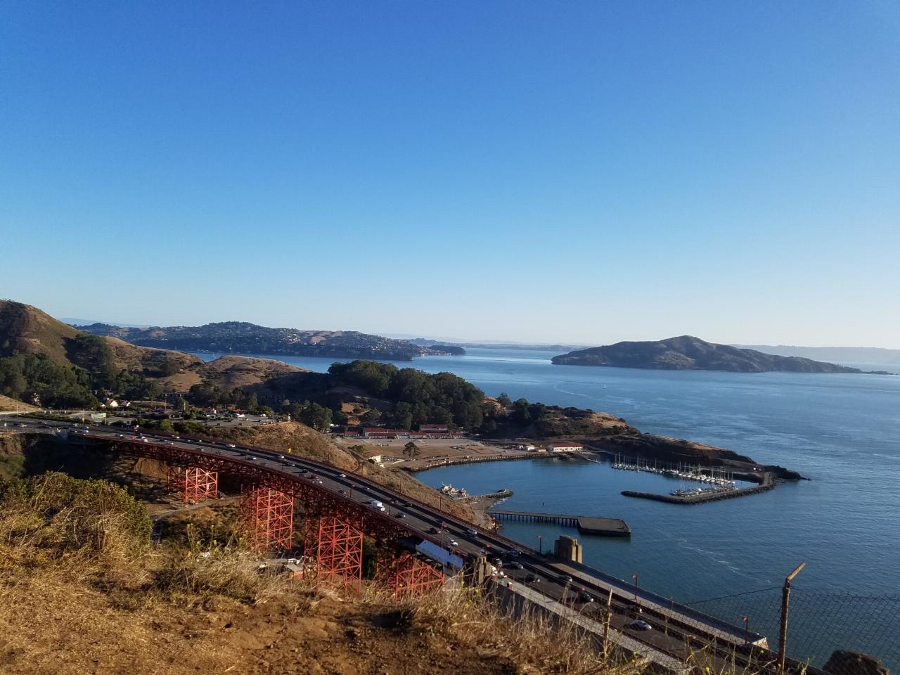
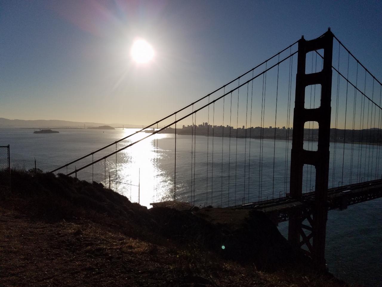
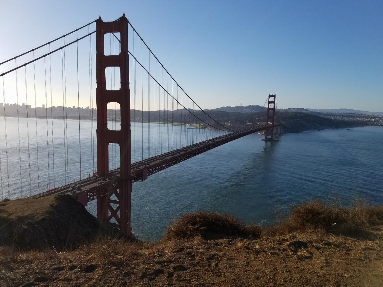
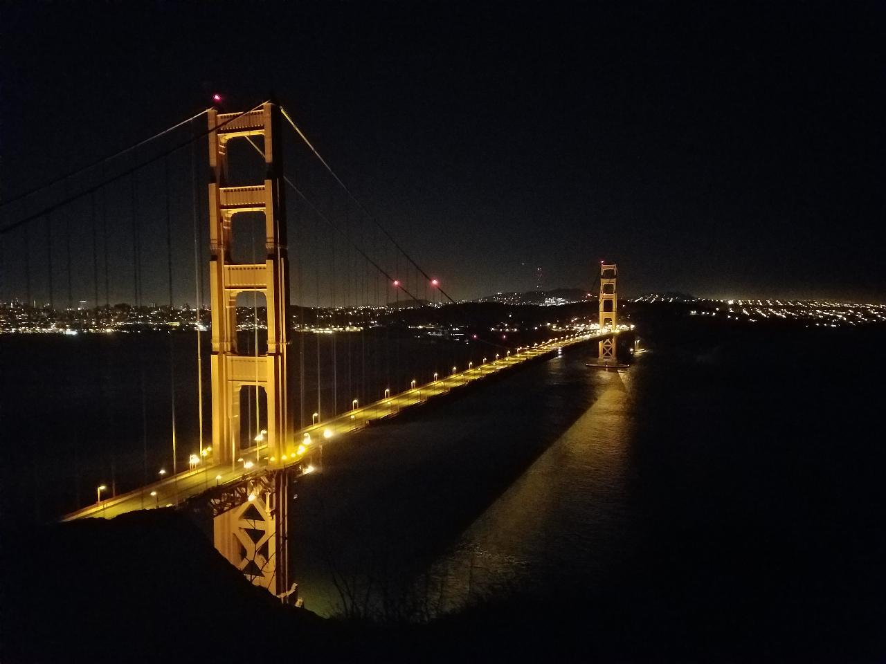
This is easily one of the best places to view the Golden Gate Bridge. For over half a century, this was one of the most strategically important sites guarding the Golden Gate. Completed in 1897, the battery was named for Joseph Spencer, who had been a Major General in the army during the American Revolution. It was armed with 3 rifled guns having 12" diameter barrels. The fortification saw continuous service until 1943, when it was declared obsolete and its guns scrapped.
Distance: 0.2mi each way
More Information
Battery Spencer above the Golden Gate Bridge - OurSausalito.com
Guide and directions to the Battery Spencer view area for the Golden Gate Bridge and San Francisco, located in the GGNRA in Sausalito CA
https://www.oursausalito.com/marin-headlands-and-ggnra/battery-spencer-golden-gate-bridge.htmlBattery Spencer: The Best Viewpoint for the Golden Gate Bridge - California Through My Lens
If you are looking for the traditional photo you have seen hundreds of times, with the Golden Gate Bridge in the foreground and San Francisco in the background, then look no further than the Battery Spencer overlook on the northside of the bridge. This viewpoint provides a jaw-dropping vista of the famous bridge, as well...
https://californiathroughmylens.com/battery-spencer-golden-gate-bridge/Be courteous, informed, and prepared. Read trailhead guidelines, stay on the trail, and don't feed the wildlife.
Read More
- Plan Ahead and Prepare
- Travel & camp on durable surfaces
- Dispose of waste properly
- Leave what you find
- Minimize campfire impacts
- Respect wildlife
- Be considerate of other visitors
Directions
From Mill Valley, California
- Head east on Sunnyside Ave toward Hill St (256 ft)
- Turn right at the 1st cross street onto Hill St (285 ft)
- Turn left at the 1st cross street onto E Blithedale Ave (1.6 mi)
- Merge onto US-101 S via the ramp to San Francisco (5.5 mi)
- Take exit 442 toward Sausalito (128 ft)
- Merge onto Alexander Ave (390 ft)
- Turn right onto Conzelman RdDestination will be on the left(0.3 mi)

Other Hiking Trails Nearby

Mt. Sutro Open Space Reserve
San Francisco, California
5.1 miles SA 61-acre ecological oasis on a 900-foot San Francisco hill with a historic century-old eucalyptus forest, rare native plants, and a native plant garden and demonstration area at the summit.
Hike, Mountain Bike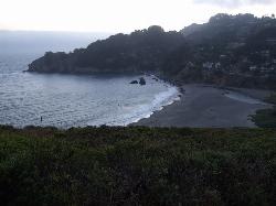
Muir Beach
Muir Beach, California
5.5 miles NWA hidden gem beach north of San Francisco with a 0.2-mile walk to the shore, informational placards for kids, sunset views over the Pacific, and access to the Coastal Trail.
Hike, Swim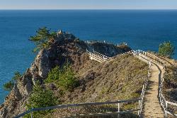
Muir Beach Overlook
Muir Beach, California
6.1 miles NWThe Muir Beach Overlook is a cliff-top Marin Headlands promontory with sweeping Pacific views, WWII fire-control bunkers, and prime gray-whale watching.
Hike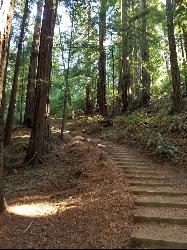
Muir Woods National Monument
Mill Valley, California
6.9 miles NWA national monument with several suggested hikes from the visitors center, including a 2-mile loop leaving the boardwalk into the towering old-growth redwoods, plus guided tours and programs.
Hike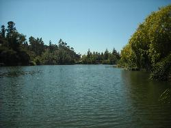
Temescal Regional Recreation Area
Oakland, California
13.9 miles EGuarded swim beach on a ten acre lake in the Oakland hills, one of the three original East Bay Regional Parks, tucked between Highway 24 and the Caldecott Tunnel approach.
Hike, Swim 0.5-0.6 mi
Grizzly Peak Trail
Berkeley, California
13.9 miles EA trail through the Berkeley Hills with sweeping San Francisco Bay views at the peak — great for runners, dog walkers, and out-of-town guests on a clear day.
Hike, Mountain Bike 4.0 mi
Palomarin Trail
Bolinas, California
16.1 miles NWA 5-mile northern Marin coastal hike past ocean overlooks, varying terrain, and forested paths to the stunning Alamere Falls — with an optional Bass Lake swim on the return.
Hike 0.1 mi
Bass Lake
Bolinas, California
17.5 miles NWBass Lake is a beloved hike-in swimming hole in Point Reyes National Seashore, tucked into the coastal hills above the Pacific near Bolinas, California. A small, tree-rimmed freshwater lake reached...
Hike, Swim 3.8 mi
East Ridge Trail
Oakland, California
18.6 miles EA wide, gentle ridge trail weaving through Oakland's redwood-covered hills to a waterfall — accessible all year with ladder bug clusters in the trees each winter.
Hike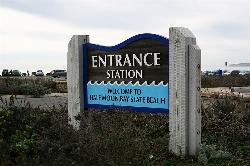
Half Moon Bay State Beach
Half Moon Bay, California
25.1 miles SA historic railroad corridor trail along the Half Moon Bay Pacific Coast with sweeping ocean views, access to multiple beaches, red-tailed hawks, herons, and a distant view of the famous Mavericks surf break.
Camp, Hike, Horseback, Swim
Quarry Lakes Regional Recreation Area (Niles Beach)
Fremont, California
31.4 miles SELifeguarded sand beach on Horseshoe Lake at Quarry Lakes Regional Recreation Area in Fremont, a 471-acre East Bay park of former gravel pits turned swimming and fishing lakes.
Hike, Kayak, Mountain Bike, Swim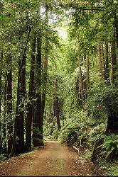
Pescadero Creek Trail Area
Loma Mar, California
39.9 miles SShady interconnected trails weave through redwoods, ridges, and rolling valleys linking four parks in the Santa Cruz Mountains — a cool escape just an hour from the Bay Area.
Hike, Horseback, Mountain Bike, Swim


