


Muir Beach Overlook
Muir Beach, California
| Address: | Muir Beach Overlook, Muir Beach, CA 94965, USA |
| GPS: |
37°51'49.7"N 122°35'9.5"W Maps | Directions |
| State: | California |
Restrooms Picnic Tables
Hike
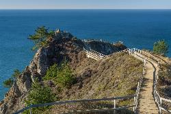
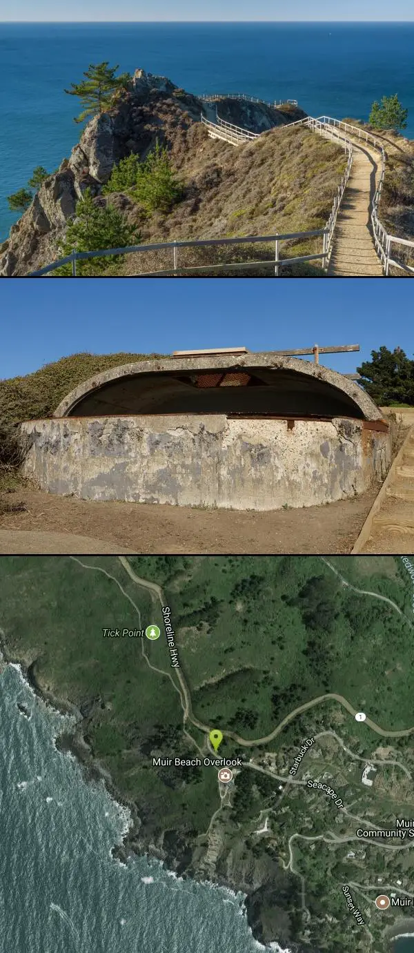
The Muir Beach Overlook is one of the most dramatic coastal viewpoints in the Golden Gate National Recreation Area — a windswept promontory on the Marin Headlands just off Highway 1, where a short walk out a narrow, cliff-edged ridge delivers a jaw-dropping sweep of the Pacific. A series of railed platforms and stairways steps down the spine of the point, and on a clear day the view runs from the wild Sonoma coast in the north, past the Farallon Islands offshore, all the way to San Francisco and the open ocean horizon.
The overlook carries a fascinating slice of World War II history. Perched on the point are the concrete remains of a military “base end” fire-control station — a camouflaged lookout where soldiers used powerful spotting scopes to scan the sea for enemy ships, relaying coordinates to a central plotting room and, if needed, to the coastal gun batteries (like Batteries Wallace, Townsley, and 129) hidden in the surrounding hills. Peer into the old bunkers and you can still imagine the wartime watch kept over the Golden Gate.
It's also one of the Bay Area's premier spots for gray whale watching. The whales migrate past this stretch of coast from about December through May, and the overlook's high, exposed vantage makes it a favorite place to scan for spouts; harbor seals, pelicans, and other seabirds work the water below year-round.
The overlook itself is a quick outing rather than a long hike — there's a small parking area, picnic tables, and restrooms — but it connects into the wider trail network of the Headlands. The Coastal Trail runs along the bluffs nearby, and the Owl Trail drops from here toward Slide Ranch and the shore, so it's easy to extend a visit into a proper walk.
A few practical notes: the path out to the tip has stairs and steep drop-offs, so wear decent shoes, watch your footing, and keep a close eye on children near the edges. It's almost always windy and cool out on the point — often when it's warm and sunny inland — so bring a windbreaker even in summer, when coastal fog can roll in. It's free to visit, and it pairs perfectly with a stop at nearby Muir Beach itself, just down the road, or with the redwoods of Muir Woods.
More Information
Muir Beach Overlook - Wikipedia
Muir Beach Overlook is part of the Golden Gate National Recreation Area. People may visit this cliffside park when driving on State Route 1 (also known as Highway 1) north of San Francisco, California and south of Stinson Beach, California. It has views of Pacific oceanside cliffs and on clear days one can see San Francisco. One can also view migrating blue whales between November and June.[1]
https://en.wikipedia.org/wiki/Muir_Beach_OverlookBe courteous, informed, and prepared. Read trailhead guidelines, stay on the trail, and don't feed the wildlife.
Read More
- Plan Ahead and Prepare
- Travel & camp on durable surfaces
- Dispose of waste properly
- Leave what you find
- Minimize campfire impacts
- Respect wildlife
- Be considerate of other visitors
Directions
From Muir Beach, California
- Head northwest on Seacape Dr toward Starbuck Dr (0.3 mi)
- Seacape Dr turns right and becomes Muir Beach Overlook (148 ft)


Other Hiking Trails Nearby
Muir Beach
Muir Beach, California
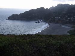
0.6 miles EA hidden gem beach north of San Francisco with a 0.2-mile walk to the shore, informational placards for kids, sunset views over the Pacific, and access to the Coastal Trail.
Hike, Swim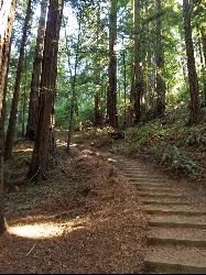
Muir Woods National Monument
Mill Valley, California
2.2 miles NA national monument with several suggested hikes from the visitors center, including a 2-mile loop leaving the boardwalk into the towering old-growth redwoods, plus guided tours and programs.
Hike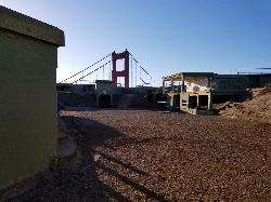
Battery Spencer
Mill Valley, California
6.1 miles SEA short 0.2-mile hike to a century-old Civil War battery with 12-inch rifled guns — now one of the best vantage points anywhere for viewing the Golden Gate Bridge.
Hike 4.0 mi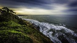
Palomarin Trail
Bolinas, California
10.0 miles NWA 5-mile northern Marin coastal hike past ocean overlooks, varying terrain, and forested paths to the stunning Alamere Falls — with an optional Bass Lake swim on the return.
Hike 0.1-0.6 mi
Mt. Sutro Open Space Reserve
San Francisco, California
10.2 miles SEA 61-acre ecological oasis on a 900-foot San Francisco hill with a historic century-old eucalyptus forest, rare native plants, and a native plant garden and demonstration area at the summit.
Hike, Mountain Bike 0.1 mi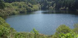
Bass Lake
Bolinas, California
11.5 miles NWBass Lake is a beloved hike-in swimming hole in Point Reyes National Seashore, tucked into the coastal hills above the Pacific near Bolinas, California. A small, tree-rimmed freshwater lake reached...
Hike, Swim 0.5-0.6 mi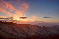
Grizzly Peak Trail
Berkeley, California
19.0 miles EA trail through the Berkeley Hills with sweeping San Francisco Bay views at the peak — great for runners, dog walkers, and out-of-town guests on a clear day.
Hike, Mountain Bike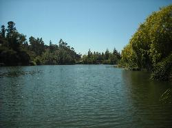
Temescal Regional Recreation Area
Oakland, California
19.4 miles EGuarded swim beach on a ten acre lake in the Oakland hills, one of the three original East Bay Regional Parks, tucked between Highway 24 and the Caldecott Tunnel approach.
Hike, Swim 3.8 mi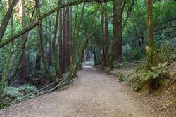
East Ridge Trail
Oakland, California
24.5 miles EA wide, gentle ridge trail weaving through Oakland's redwood-covered hills to a waterfall — accessible all year with ladder bug clusters in the trees each winter.
Hike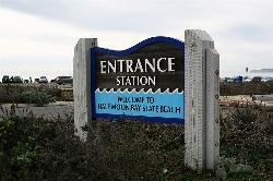
Half Moon Bay State Beach
Half Moon Bay, California
28.5 miles SA historic railroad corridor trail along the Half Moon Bay Pacific Coast with sweeping ocean views, access to multiple beaches, red-tailed hawks, herons, and a distant view of the famous Mavericks surf break.
Camp, Hike, Horseback, Swim
Quarry Lakes Regional Recreation Area (Niles Beach)
Fremont, California
37.4 miles SELifeguarded sand beach on Horseshoe Lake at Quarry Lakes Regional Recreation Area in Fremont, a 471-acre East Bay park of former gravel pits turned swimming and fishing lakes.
Hike, Kayak, Mountain Bike, Swim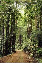
Pescadero Creek Trail Area
Loma Mar, California
43.9 miles SShady interconnected trails weave through redwoods, ridges, and rolling valleys linking four parks in the Santa Cruz Mountains — a cool escape just an hour from the Bay Area.
Hike, Horseback, Mountain Bike, Swim
Willow Creek Environmental Campground
Duncans Mills, California
48.8 miles NWA sandy-banked riverside campground on the Russian River near the California coast — cool and breezy even in summer, with kayak and tube launch access and a mix of shallow and deep swimming spots.
Hike, Kayak, Swim


