


26 Hiking Trails near Aberdeen, ID 83210
first prev 1 2 next lastShowing Hiking Trails within 50 miles Distance miles of Aberdeen, ID 83210, USA City, Zip, or Address
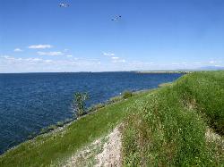
Sportsman's Park American Falls Reservoir
Aberdeen, Idaho
3.1 miles EA 30-acre multi-use park on the American Falls Reservoir with two boat ramps, picnic shelters, RV hookups, playgrounds, volleyball courts, and a 1.1-mile paved trail along the reservoir rim.
Camp, Canoe, Hike 0.2-9.7 mi
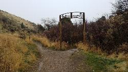
City Creek
Pocatello, Idaho
20.7 miles EPocatello's city-maintained trail network packs over six miles of singletrack into City Creek Canyon, with everything from casual loops to a downhill-only expert run.
Hike, Horseback, Mountain Bike 
Slate Mountain/Gibson Jack Trail
Pocatello, Idaho
23.1 miles SEA beautiful Gibson Jack loop in Pocatello with aspen, pines, sage, and meadow views — clockwise is the preferred direction, but watch for a steep creek-bottom fork at mile 5 that can sink a tire.
Hike, Horseback, Mountain Bike 3.2 mi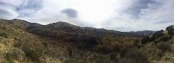
Kinney Creek Trail
Pocatello, Idaho
25.7 miles SEA 6.4-mile out-and-back to Indian Mountain Summit in Caribou-Targhee National Forest near Pocatello, with Idaho backcountry views and exceptional birdwatching — raptors, waterfowl, and songbirds.
Hike 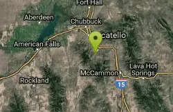
Cherry Springs
Pocatello, Idaho
26.2 miles SEThick green vegetation, abundant birds, and wildlife viewing along a picnic-table-lined trail just a short distance from Pocatello, Idaho — a peaceful nature escape close to town.
Hike 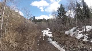
Valve House Draw
Pocatello, Idaho
26.2 miles SEA motorized doubletrack trail in Pocatello that climbs through forest to the top before a 2-mile stretch of very sweet downhill singletrack — short but worth the 10-mile loop.
Cross-country Ski, Hike, Horseback, Mountain Bike 
West Fork Mink Creek Trail
Pocatello, Idaho
26.2 miles SEA 3.5-mile shaded singletrack trail near Pocatello popular with hikers, horseback riders, and mountain bikers, climbing gradually to Elk Meadows Road with connections to further trails beyond.
Hike, Horseback, Mountain Bike 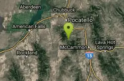
South Fork Of Mink Creek Trail
Pocatello, Idaho
26.7 miles SEThe South Fork of Mink Creek Trail is a quiet, four-season route in the Mink Creek drainage of the Caribou-Targhee National Forest, tucked into the Scout Mountain country roughly twelve miles south...
Cross-country Ski, Hike, Mountain Bike, Snowshoe 
East Fork Mink Creek Trail
Pocatello, Idaho
26.7 miles SEAn early-season cross-country skiing destination near Pocatello on the East Fork Road leading to Justise Park — access depends on seasonal gate closures and snowpack conditions.
Cross-country Ski, Hike, Horseback, Mountain Bike 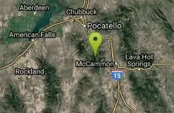
Scout Mountain Campground
Pocatello, Idaho
29.9 miles SEA scenic campground at 6,900 feet on beautiful Scout Mountain, 13 miles south of Pocatello, with birding, wildlife viewing, and a variety of multi-use trails nearby.
Camp, Hike 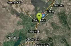
Blackfoot, ID 83221, United States
Blackfoot, Idaho
30.1 miles NEHike and Mountain Bike near Blackfoot, Idaho
Hike, Mountain Bike 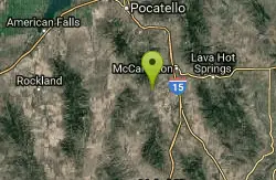
Garden Creek Gap
McCammon, Idaho
36.9 miles SEA sandstone rock climbing area in a scenic mountain gap west of I-15, with great Class 3-4 scrambling and some of the best technical routes in the Pocatello area.
Cross-country Ski, Hike, Horseback, Rock Climb 
Hell's Half Acre Northbound Rest Stop
Blackfoot, Idaho
37.9 miles NEA well-kept I-15 rest area near Blackfoot features lava-flow interpretive signs, walking paths, picnic tables, and vending machines — a worthwhile stop on any road trip.
Hike 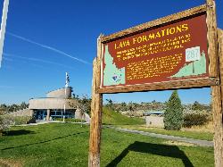
Hell's Half Acre Southbound Rest Stop
Blackfoot, Idaho
37.9 miles NEA well-maintained Interstate 15 rest stop on a lava flow area with a great walking path, informational signs about the formations and wildlife, picnic tables, and vending machines.
Hike 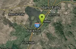
Firth River Bottoms
Firth, Idaho
40.9 miles NEA community riverside park in Firth with horseback riding, picnicking, fishing, and baseball — something for the whole family along the river bottoms.
Camp, Canoe, Hike 0.9 mi
Hell's Half Acre Lava Walk
Blackfoot, Idaho
46.6 miles NETwo lava trails — a quick half-mile loop or a 4.5-mile route to the main vent — trace a 4,100-year-old 222-square-mile eruption across the Snake River Plain.
Hike 
17 Mile Cave
Idaho Falls, Idaho
47.9 miles NEA lava tube just 17 miles from Idaho Falls with a nearly flat quarter-mile tunnel ending in two cool pools — easy for beginners, though expect graffiti on the walls.
Cave, Hike 8.8 mi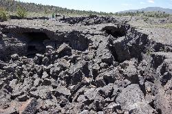
Wilderness Trail
Visitors Center, Craters of the Moon National Monument
48.9 miles NWA solitary wilderness hike through young lava flows and cinder cones at Craters of the Moon, passing lava trees and ending near Echo Crater — a great backcountry camping spot.
Cave, Hike 1.7 mi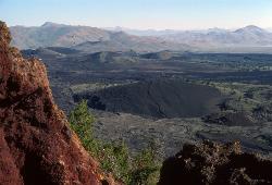
Broken Top Loop Trail
Visitors Center, Craters of the Moon National Monument
48.9 miles NWA hike over, under, and around a 2,000-year-old cinder cone and lava flows in Craters of the Moon, with access to Buffalo Cave — bring a flashlight and free permit.
Cave, Hike 1.9 mi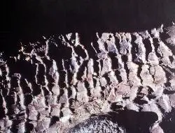
Tree Molds Trail
Visitors Center, Craters of the Moon National Monument
48.9 miles NWA paved trail winding through Craters of the Moon Wilderness to a lava flow that captured the shapes of fallen and standing trees in cooling rock — look for wooden posts marking the molds.
Hike


