


Hell's Half Acre Southbound Rest Stop
Blackfoot, Idaho
| Address: | I-15, Blackfoot, ID 83221, USA |
| GPS: |
43°18'19.1"N 112°16'11.7"W Maps | Directions |
| State: | Idaho |
Restrooms Picnic Tables Trails Rocks
Hike
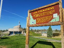
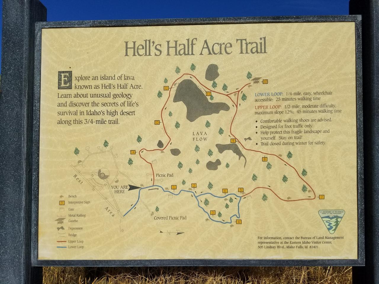
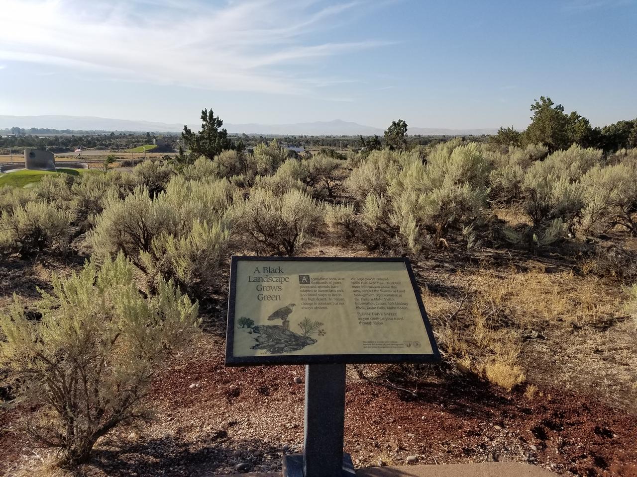
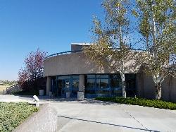
This is a well maintained rest area with facilities to keep you happy as you travel through Idaho. This rest stop on Interstate 15 about 15 miles South of Idaho Falls has nice picnic tables and grass areas. If you need refreshments there are vending machines to provide cold drinks. The rest area sits on a Lava flow area with a great walking path and information signs about the formations and wildlife you can see. On your trip to Idaho along the Veteran's Memorial Hwy (I-15) don't forget to stop at this rest stop to make your trip more comfortable.
More Information
Add ResourceBe courteous, informed, and prepared. Read trailhead guidelines, stay on the trail, and don't feed the wildlife.
Read More
- Plan Ahead and Prepare
- Travel & camp on durable surfaces
- Dispose of waste properly
- Leave what you find
- Minimize campfire impacts
- Respect wildlife
- Be considerate of other visitors
Directions
From Blackfoot, Idaho
- Head southwest on N Broadway St toward W Pacific St (0.1 mi)
- Turn right at the 2nd cross street onto I-15BL S/W Bridge St (signs for I-15)Continue to follow I-15BL S(1.0 mi)
- Turn right to merge onto I-15 N/US-26 E toward Idaho Falls/Butte (15.2 mi)
- Take exit 108 toward E 1250 N (0.3 mi)
- Turn left onto E 1250 N (0.1 mi)
- Turn left to merge onto I-15 S/US-26 W toward Blackfoot/Pocatello (6.4 mi)
- Take the exitDestination will be on the right(0.3 mi)
Approximately 9 miles north of Blackfoot on I-15 southbound.
Ines Rex
11/12/19 3:23 pmchrislundy
8/4/18 3:45 pm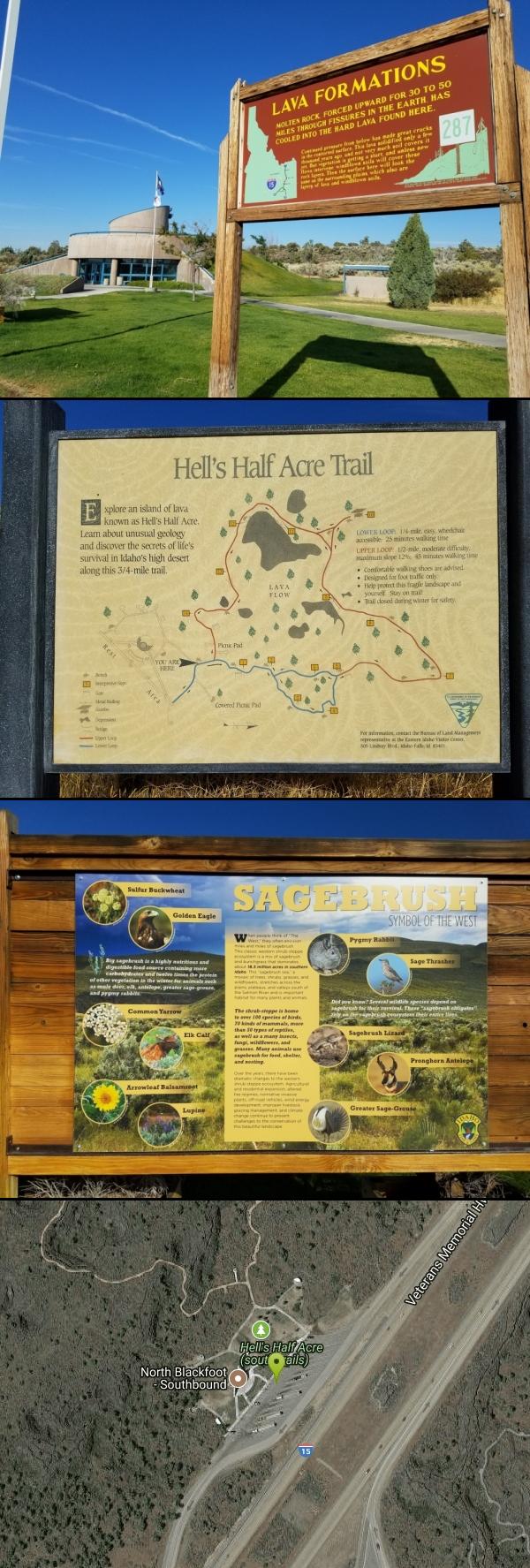




Other Hiking Trails Nearby
Hell's Half Acre Northbound Rest Stop
Blackfoot, Idaho
0.2 miles SA well-kept I-15 rest area near Blackfoot features lava-flow interpretive signs, walking paths, picnic tables, and vending machines — a worthwhile stop on any road trip.
Hike 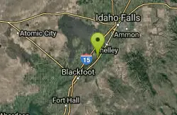
Firth River Bottoms
Firth, Idaho
3.7 miles EA community riverside park in Firth with horseback riding, picnicking, fishing, and baseball — something for the whole family along the river bottoms.
Camp, Canoe, Hike 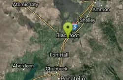
Blackfoot, ID 83221, United States
Blackfoot, Idaho
8.8 miles SWHike and Mountain Bike near Blackfoot, Idaho
Hike, Mountain Bike 0.1 mi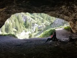
40 Horse Cave
Firth, Idaho
16.3 miles EA short, steep scramble near Firth to a roomy hillside cave — big enough, legend says, to hide 40 horses.
Cave, Hike 
17 Mile Cave
Idaho Falls, Idaho
16.9 miles NA lava tube just 17 miles from Idaho Falls with a nearly flat quarter-mile tunnel ending in two cool pools — easy for beginners, though expect graffiti on the walls.
Cave, Hike 1.0-7.5 mi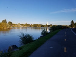
Idaho Falls Greenbelt
Idaho Falls, Idaho
17.5 miles NEA 6-mile paved riverside trail through the heart of Idaho Falls past a 22-foot waterfall that stretches 600 feet wide, historic landmarks, parks, and downtown restaurants.
Hike 0.9 mi
Hell's Half Acre Lava Walk
Blackfoot, Idaho
19.2 miles NWTwo lava trails — a quick half-mile loop or a 4.5-mile route to the main vent — trace a 4,100-year-old 222-square-mile eruption across the Snake River Plain.
Hike 0.2-9.7 mi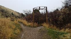
City Creek
Pocatello, Idaho
32.5 miles SPocatello's city-maintained trail network packs over six miles of singletrack into City Creek Canyon, with everything from casual loops to a downhill-only expert run.
Hike, Horseback, Mountain Bike 2.1-2.3 mi
Market Lake Wildlife Management Area
Roberts, Idaho
33.0 miles NA wildlife management area teeming with waterfowl — ibis colonies, ducks, geese, herons, eagles, hawks, and owls — plus mule deer, white-tailed deer, and a small moose population near Roberts, Idaho.
Hike, Horseback 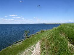
Sportsman's Park American Falls Reservoir
Aberdeen, Idaho
35.5 miles SWA 30-acre multi-use park on the American Falls Reservoir with two boat ramps, picnic shelters, RV hookups, playgrounds, volleyball courts, and a 1.1-mile paved trail along the reservoir rim.
Camp, Canoe, Hike 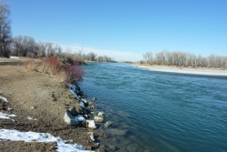
Lorenzo Boat Ramp
Rigby, Idaho
35.6 miles NEThe Lorenzo Boat Access is the gateway to one of eastern Idaho's most beloved stretches of fly-fishing and floating water, a BLM river access on the South Fork of the Snake River just north of Rigby....
Hike, Kayak 1.0-1.3 mi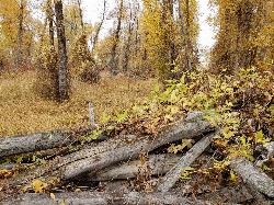
Lorenzo Bridge
Rexburg, Idaho
35.8 miles NEA quiet former boat launch with primitive riverside trails, a hidden lake, stunning fall colors, and a natural paintball field bounded by river and dry creek bed.
Airsoft, Hike, Paintball 0.6-2.0 mi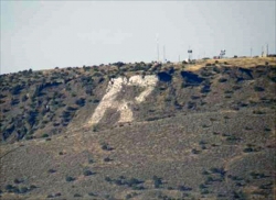
North Menan Butte ('R' Mountain)
Menan, Idaho
36.0 miles NEA volcanic butte locals call R Mountain, with a paved trailhead, chain handrails near the top, informational signs at the rim, and views of Rexburg and the Snake River.
Camp, Cave, Hike 
Slate Mountain/Gibson Jack Trail
Pocatello, Idaho
36.3 miles SA beautiful Gibson Jack loop in Pocatello with aspen, pines, sage, and meadow views — clockwise is the preferred direction, but watch for a steep creek-bottom fork at mile 5 that can sink a tire.
Hike, Horseback, Mountain Bike 0.3-0.6 mi
Cress Creek Nature Trail
Rexburg, Idaho
36.9 miles NEA 1.25-mile self-guided nature trail along the South Fork of the Snake River through sagebrush, juniper slopes, and lush creekside habitat — with an overlook trail, caves near the rim, and moose sightings.
Hike 3.8 mi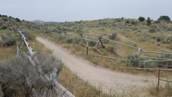
Stinking Springs
Ririe, Idaho
37.5 miles NEAn ATV and dirt bike trail that doubles as a mountain bike gem — progressively bermed switchbacks, rock rolls, and gardens lead to connections with Kelly Canyon and the broader Big Hole range.
Hike, Mountain Bike 3.2 mi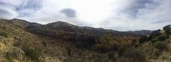
Kinney Creek Trail
Pocatello, Idaho
38.2 miles SA 6.4-mile out-and-back to Indian Mountain Summit in Caribou-Targhee National Forest near Pocatello, with Idaho backcountry views and exceptional birdwatching — raptors, waterfowl, and songbirds.
Hike 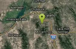
Cherry Springs
Pocatello, Idaho
38.8 miles SThick green vegetation, abundant birds, and wildlife viewing along a picnic-table-lined trail just a short distance from Pocatello, Idaho — a peaceful nature escape close to town.
Hike 3.8 mi
Kelly Mountain Trail
Ririe, Idaho
40.2 miles NEA moderate uphill trail open to hikers, mountain bikers, and ATVs, winding through hills with wildflower and mountain views — dogs welcome on leash.
Cross-country Ski, Hike, Mountain Bike, Snowshoe 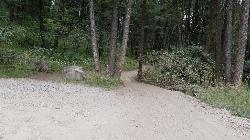
Poison Flats
Ririe, Idaho
40.7 miles NEPoison Flats is a quiet stretch of the Caribou-Targhee National Forest high country in the hills above Kelly Canyon near Ririe, in the popular recreation country east of Idaho Falls. Part of the same...
HikeNearby Campsites
Firth River Bottoms
Firth, Idaho
3.7 miles EA community riverside park in Firth with horseback riding, picnicking, fishing, and baseball — something for the whole family along the river bottoms.
Camp, Canoe, Hike 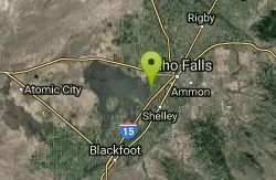
Sealander Park
Idaho Falls, Idaho
10.6 miles NEA peaceful 15-acre park steeped in Idaho homesteader history — listed on the National Register of Historic Places, Sealander Park is available to reserve for picnics, reunions, weddings, and retreats.
Camp 
Blackfoot River Crossing at Trail Creek Road
Firth, Idaho
21.6 miles SEA remote Blackfoot River crossing accessed via a network of gravel roads near Firth, Idaho — multiple parking areas along a wildlife management area stretch of the river.
Camp 
Jefferson County Lake (AKA Rigby Lake)
Rigby, Idaho
32.9 miles NESandy beaches, two floating docks with a slide, volleyball, playgrounds, and a safe swim zone — Jefferson County Lake is eastern Idaho's go-to summer swimming spot.
Camp, Canoe, Dive, Kayak, Sled, Swim
Sportsman's Park American Falls Reservoir
Aberdeen, Idaho
35.5 miles SWA 30-acre multi-use park on the American Falls Reservoir with two boat ramps, picnic shelters, RV hookups, playgrounds, volleyball courts, and a 1.1-mile paved trail along the reservoir rim.
Camp, Canoe, Hike 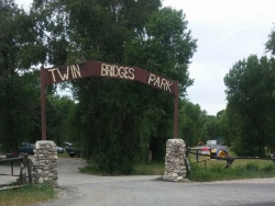
Twin Bridges Park
Rexburg, Idaho
35.8 miles NEA 27-acre Snake River park between two bridges near Rexburg with shaded campsites, fire pits, pavilions, a playground, and BLM ground for hiking and hunting on three sides.
Camp, Canoe 0.6-2.0 mi
North Menan Butte ('R' Mountain)
Menan, Idaho
36.0 miles NEA volcanic butte locals call R Mountain, with a paved trailhead, chain handrails near the top, informational signs at the rim, and views of Rexburg and the Snake River.
Camp, Cave, Hike 
Kelly Island Campground
Ririe, Idaho
37.5 miles NEA BLM campground with 14 family sites and 1 group site for RVs or tents, open May through September — vault toilets, pets welcome, and rates from $5–$20 per night.
Camp 
Paramount Wall / Blanche Rock
Ririe, Idaho
38.5 miles NEA sport climbing wall above the road near Ririe with great exposure, afternoon shade, and well-loved 5.9–5.10 lines — most routes work with a 50-meter rope, established by Chuck Oddette and crew.
Camp, Horseback, Rock Climb 
Wolf Flats Recreation Area
Ririe, Idaho
38.7 miles NEWolf Flats Recreation Area is a free, undeveloped camping area strung along the South Fork of the Snake River in the canyon country east of Idaho Falls, and it's a longtime favorite of eastern Idaho...
Camp 
Beaver Dick Park
Rexburg, Idaho
40.2 miles NEA 9.5-acre Snake River park near Rexburg with fire pits, pavilions, fishing, boating, swimming, and a rich history tied to legendary frontiersman Beaver Dick Leigh.
Camp, Canoe, Disc Golf, Swim 
Table Rock Campground
Ririe, Idaho
40.8 miles NEA campground in Caribou-Targhee National Forest — part of a 3-million-acre stretch from Montana to the Utah and Wyoming borders — with access to the Curlew National Grassland.
Camp 
Big Hole Dispersed Campsites
Ririe, Idaho
41.8 miles NEA network of dispersed campsites with fire rings in the Big Hole mountains above Kelly Canyon — first come, first served, no reservations, and Leave No Trace principles are essential.
Camp 
Scout Mountain Campground
Pocatello, Idaho
42.5 miles SA scenic campground at 6,900 feet on beautiful Scout Mountain, 13 miles south of Pocatello, with birding, wildlife viewing, and a variety of multi-use trails nearby.
Camp, Hike 0.5-3.5 mi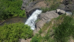
Webster's Dam
Ririe, Idaho
43.1 miles NEAn abandoned dam in Moody Creek canyon where sediment split the stream into two beautiful 15-foot waterfalls — stunning in spring runoff and blazing with fall colors.
Camp, Hike, Mountain Bike 0.2-0.5 mi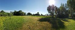
Eagle Park
Rexburg, Idaho
43.6 miles NEA cottonwood forest park inside Rexburg city limits with campsites, fishing, a dog park, mountain biking on easy and moderate loops, and rock-throwing by the river.
Camp, Hike, Mountain Bike, Sled 0.8-1.3 mi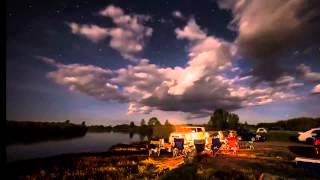
Warm Slough Campground
Rexburg, Idaho
43.9 miles NEA popular river campground with two boat ramps and an easy, slow-moving inner tube float — the take-out is 1,000 feet from the put-in, making multiple runs a breeze.
Airsoft, Camp, Canoe 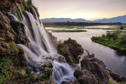
Fall Creek Falls
Swan Valley, Idaho
45.8 miles EA shaded Snake River campground near Swan Valley with abundant wildlife, great trout fishing, and Fall Creek Falls a quarter-mile away.
Camp, Cave, Hike, Kayak, Swim 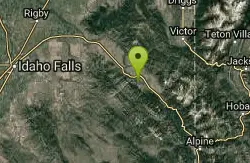
Falls Campground
Victor, Idaho
46.4 miles EA Snake River campground near Swan Valley with cottonwood shade, abundant wildlife — eagles, osprey, moose, and deer — and Fall Creek Falls just a quarter mile away; Palisades Reservoir is 20 miles out.
Camp 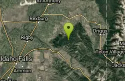
Moody Meadows
Driggs, Idaho
47.9 miles NEGood place for kids, they can ride bikes in the meadow, play in the stream, and camping is off of the road. Hiking, motorbiking, and horseback riding trails are abundant in the area.
Camp


