


Tree Molds Trail
Visitors Center, Craters of the Moon National Monument
| Address: | Tree Molds Trail, Idaho 83213, USA |
| GPS: |
43°25'39.6"N 113°32'55.4"W Maps | Directions |
| State: | Idaho |
| Trails/Routes: | 1.9 mi |
Restrooms Pet Friendly Bicycles Motorized Use
Hike
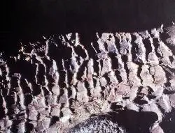
When molten lava advanced through this area it flowed through a grove of living trees. As the trees burned, moisture was released as steam, cooling the hot lava just enough to leave an impression of the charred wood on the surface.
Tree molds may appear as vertical holes in the lava, or if the tree fell on to the surface of a molten flow, a horizontal mold. Look for wooden posts that indicate the location of both types of tree molds near the end of this trail.
Follow the paved ramp that goes south of the trailhead sign near the parking lot. This trail winds through shrubs and stands of limber pine within the Craters of the Moon Wilderness before reaching the edge of the Blue Dragon Flow. While still molten, this lava flow knocked down and ignited trees. The charred tree trunks left impressions in the lava rock. In other places, the trees remained standing as the lava encased them, leaving vertical molds in the cooling lava.Courtesy of nps.gov
More Information
Add ResourceBe courteous, informed, and prepared. Read trailhead guidelines, stay on the trail, and don't feed the wildlife.
Read More
- Plan Ahead and Prepare
- Travel & camp on durable surfaces
- Dispose of waste properly
- Leave what you find
- Minimize campfire impacts
- Respect wildlife
- Be considerate of other visitors
Directions
From Visitors Center, Craters of the Moon National Monument
- Head east on Loop RdParts of this road may be closed at certain times or days(2.8 mi)
- Turn left to stay on Loop RdMay be closed at certain times or days(0.7 mi)
- Turn right (0.3 mi)
- Keep left (0.3 mi)
- Keep right (0.7 mi)


Other Hiking Trails Nearby
Broken Top Loop Trail
Visitors Center, Craters of the Moon National Monument
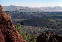
0.0 miles NEA hike over, under, and around a 2,000-year-old cinder cone and lava flows in Craters of the Moon, with access to Buffalo Cave — bring a flashlight and free permit.
Cave, Hike 8.8 mi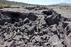
Wilderness Trail
Visitors Center, Craters of the Moon National Monument
0.0 miles EA solitary wilderness hike through young lava flows and cinder cones at Craters of the Moon, passing lava trees and ending near Echo Crater — a great backcountry camping spot.
Cave, Hike 0.1 mi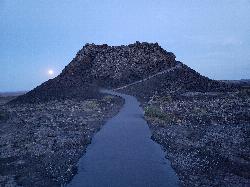
Spatter Cones
Visitors Center, Craters of the Moon National Monument
1.1 miles NWMiniature volcanoes formed by lobbed molten lava blobs at Craters of the Moon — a must-see feature that symbolizes this unique national monument; stay on trails to protect the delicate spatter cones.
Hike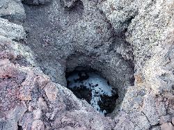
Snow Cone
Visitors Center, Craters of the Moon National Monument
1.1 miles NWThe Snow Cone is one of the more surprising little features at Craters of the Moon National Monument, a small, narrow, deep spatter cone on the volcanic Snake River Plain of central Idaho that holds...
Hike 1.8 mi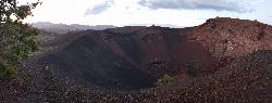
North Crater Trail
Visitors Center, Craters of the Moon National Monument
1.1 miles NWA one-way trail through North Crater and Big Craters at Craters of the Moon — dropping into a volcanic crater mouth and ending at Spatter Cones, with fragile lava formations off-limits to protect.
Hike 0.4 mi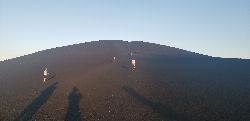
Inferno Cone
Visitors Center, Craters of the Moon National Monument
1.1 miles NA steep climb up Inferno Cone at Craters of the Moon, rewarded with panoramic views of the Great Rift, Snake River Plain, and Pioneer Mountains — and on clear days, the Tetons 100 miles away.
Hike 1.0-1.3 mi
Caves Trail
Visitors Center, Craters of the Moon National Monument
1.5 miles NEThe Caves Trail at Craters of the Moon National Monument leads into one of the most otherworldly landscapes in Idaho: a field of lava tubes formed by ancient volcanic eruptions on the high sagebrush...
Cave, Hike 0.5 mi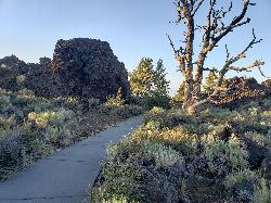
Devil's Orchard Trail
Visitors Center, Craters of the Moon National Monument
1.7 miles NA paved, wheelchair-accessible trail through cinder beds and ancient North Crater wall fragments, with exhibits on protecting this fragile volcanic environment.
Hike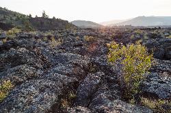
North Crater Flow
Arco, Idaho
2.1 miles NThe North Crater Flow Trail is one of the best first stops at Craters of the Moon National Monument, a short, paved, accessible loop that carries visitors out across a genuine river of hardened lava...
Hike 0.6 mi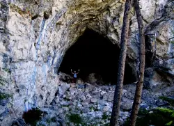
Hidden Mouth Cave
Moore, Idaho
37.4 miles NA surprisingly large lava cave with three chambers and a secret back exit — reached by quad or a quarter-mile steep hike above Moore, Idaho.
Cave, Hike
Quigley Canyon
Hailey
37.8 miles WA year-round BCRD trail area in Quigley Canyon east of Hailey. Summer brings a pump track, flow trails, jump lines and a 4-mile loop, and winter brings over 20 km of groomed Nordic trails.
Cross-country Ski, Hike, Mountain Bike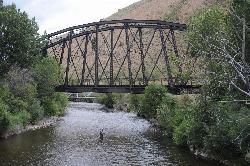
Wood River Trail
Hailey
38.6 miles WA free paved path of 20-plus miles on the old Union Pacific rail bed, linking Bellevue, Hailey, Ketchum and Sun Valley. It is groomed for Nordic skiing in winter.
Cross-country Ski, Cycle, Hike
Carbonate Mountain
Hailey, Idaho
39.3 miles WSteep trail up the 6,714-foot hill directly west of downtown Hailey, with a 3.7-mile hiking loop, a six-mile advanced bike loop and wide views of the Wood River Valley.
Hike, Mountain Bike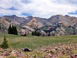
Pioneer Cabin Trail
Sun Valley
40.4 miles NWA steep, switchbacking trail from the Corral Creek trailhead east of Sun Valley to Pioneer Cabin, a 1937 Union Pacific ski hut with close views of the Pioneer Mountains.
Hike, Mountain Bike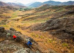
Croy Creek Trail System
Hailey, Idaho
41.3 miles WAbout 18.5 miles of BLM and Blaine County singletrack in the sage foothills west of Hailey, rebuilt by IMBA after the 2013 Beaver Creek Fire and open early May to mid-November.
Atv/motorcycle, Hike, Mountain Bike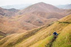
Two Dog
Hailey, Idaho
42.5 miles WThe longest trail in the Croy Creek system, about 7.4 miles of non-motorized singletrack from Bullion Gulch Road over a sage saddle and down into the Croy Creek valley.
Hike, Mountain Bike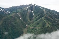
Bald Mountain Trail
Ketchum, Idaho
44.3 miles WThe main hiking and uphill-only biking route up Bald Mountain, climbing about 5.2 miles and 3,200 feet from River Run Plaza in Ketchum. Many hikers stop at the Roundhouse about 4 miles up.
Hike, Mountain Bike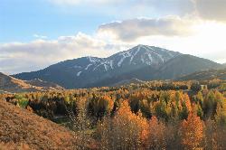
White Cloud Loop
Sun Valley, Idaho
44.4 miles NWA 4.2-mile dirt loop around the White Clouds golf course in Sun Valley, maintained by Sun Valley Company and open to hikers, runners, riders and leashed dogs. It dries out early in spring and looks across at Bald Mountain and the Boulder Mountains.
Hike, Mountain Bike
Adams Gulch Loop
Ketchum, Idaho
46.1 miles NWKetchum's busiest trail network, with easy loops on Shadyside and Sunnyside, the Griffin Butte intermediate loop and the one-way, bike-only Forbidden Fruit flow trail. The trailhead is less than two miles north of town.
Hike, Mountain Bike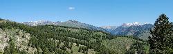
Fox Creek Loop
Ketchum, Idaho
48.3 miles NWA 6-mile singletrack loop north of Ketchum that climbs through the 2007 Castle Rock burn, drops through aspen and finishes along the Big Wood River. Bikes ride it one way, counter-clockwise.
Hike, Mountain BikeNearby Campsites

Lava Flow Campground
Arco, Idaho
2.3 miles NA campground surrounded by a young lava flow near the Craters of the Moon visitor center and popular trails — 42 first-come sites at $15/night during main season.
Camp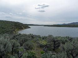
Magic Reservoir
Bellevue
44.9 miles WMagic Reservoir is a big irrigation lake on the Big Wood River surrounded by BLM sagebrush land, with free ramps and primitive camps. It is known for trout, perch and ice fishing, but water levels swing hard with irrigation demand.
Camp, Canoe, Kayak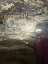
Kimama Wind Caves
Paul, Idaho
48.5 miles SA labyrinth of lava tubes in the desert north of Paul — tight crawls, varying ceiling heights, and graffiti throughout — strictly for experienced cavers with proper lights.
Camp, Cave


