


23 Hiking Trails near Bald Mountain Trail
first prev 1 2 next lastShowing Hiking Trails within 50 miles Distance miles of Bald Mountain Trail near Ketchum, Idaho City, Zip, or Address
White Cloud Loop
Sun Valley, Idaho
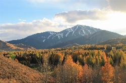
1.8 miles NA 4.2-mile dirt loop around the White Clouds golf course in Sun Valley, maintained by Sun Valley Company and open to hikers, runners, riders and leashed dogs. It dries out early in spring and looks across at Bald Mountain and the Boulder Mountains.
Hike, Mountain Bike
Adams Gulch Loop
Ketchum, Idaho
2.5 miles NWKetchum's busiest trail network, with easy loops on Shadyside and Sunnyside, the Griffin Butte intermediate loop and the one-way, bike-only Forbidden Fruit flow trail. The trailhead is less than two miles north of town.
Hike, Mountain Bike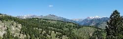
Fox Creek Loop
Ketchum, Idaho
6.2 miles NA 6-mile singletrack loop north of Ketchum that climbs through the 2007 Castle Rock burn, drops through aspen and finishes along the Big Wood River. Bikes ride it one way, counter-clockwise.
Hike, Mountain Bike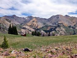
Pioneer Cabin Trail
Sun Valley
8.3 miles NEA steep, switchbacking trail from the Corral Creek trailhead east of Sun Valley to Pioneer Cabin, a 1937 Union Pacific ski hut with close views of the Pioneer Mountains.
Hike, Mountain Bike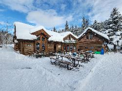
Harriman Trail
Ketchum
8.6 miles NAn 18-mile gravel path from the Sawtooth National Recreation Area headquarters north of Ketchum to Galena Lodge. It is open to bikes, hikers and horses in summer and groomed by BCRD for Nordic skiing in winter.
Cross-country Ski, Cycle, Hike, Mountain Bike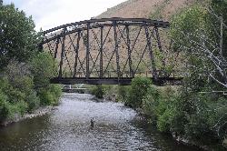
Wood River Trail
Hailey
10.8 miles SA free paved path of 20-plus miles on the old Union Pacific rail bed, linking Bellevue, Hailey, Ketchum and Sun Valley. It is groomed for Nordic skiing in winter.
Cross-country Ski, Cycle, Hike
Carbonate Mountain
Hailey, Idaho
10.9 miles SSteep trail up the 6,714-foot hill directly west of downtown Hailey, with a 3.7-mile hiking loop, a six-mile advanced bike loop and wide views of the Wood River Valley.
Hike, Mountain Bike
Quigley Canyon
Hailey
11.1 miles SA year-round BCRD trail area in Quigley Canyon east of Hailey. Summer brings a pump track, flow trails, jump lines and a 4-mile loop, and winter brings over 20 km of groomed Nordic trails.
Cross-country Ski, Hike, Mountain Bike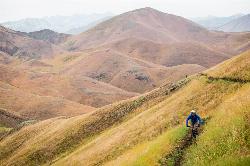
Two Dog
Hailey, Idaho
12.5 miles SThe longest trail in the Croy Creek system, about 7.4 miles of non-motorized singletrack from Bullion Gulch Road over a sage saddle and down into the Croy Creek valley.
Hike, Mountain Bike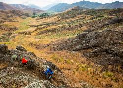
Croy Creek Trail System
Hailey, Idaho
12.7 miles SAbout 18.5 miles of BLM and Blaine County singletrack in the sage foothills west of Hailey, rebuilt by IMBA after the 2013 Beaver Creek Fire and open early May to mid-November.
Atv/motorcycle, Hike, Mountain Bike 3.4 mi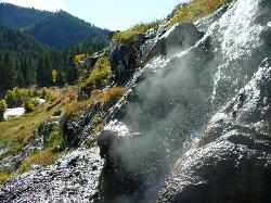
Skillern Hot Springs
Fairfield, Idaho
22.4 miles WA stunning six-mile trail along crystal-clear Big Smoky Creek to a hot spring — spectacular in fall, with two trail options and a sign marking the final three miles.
Camp, Hike, Hot Springs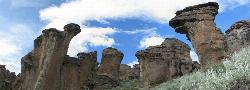
Little City of Rocks
Gooding, Idaho
41.3 miles SWA volcanic hoodoo landscape of natural arches, towers, and mushroom-cap formations near Gooding, Idaho — best visited in spring when desert wildflowers bloom and the main loop trail is scenic.
Camp, Hike 7.9 mi
Borah Peak
Mackay, Idaho
41.4 miles NEIdaho's highest peak at 12,662 feet offers a Class 3-4 summit route along 'Chicken-out' Ridge — complete with a snow knife-edge, talus, and the kind of exposure that separates the committed from the casual.
Hike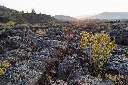
North Crater Flow
Arco, Idaho
43.2 miles EThe North Crater Flow Trail is one of the best first stops at Craters of the Moon National Monument, a short, paved, accessible loop that carries visitors out across a genuine river of hardened lava...
Hike 1.8 mi
North Crater Trail
Visitors Center, Craters of the Moon National Monument
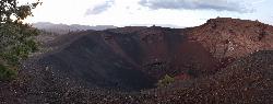
43.6 miles EA one-way trail through North Crater and Big Craters at Craters of the Moon — dropping into a volcanic crater mouth and ending at Spatter Cones, with fragile lava formations off-limits to protect.
Hike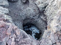
Snow Cone
Visitors Center, Craters of the Moon National Monument
43.6 miles EThe Snow Cone is one of the more surprising little features at Craters of the Moon National Monument, a small, narrow, deep spatter cone on the volcanic Snake River Plain of central Idaho that holds...
Hike 0.1 mi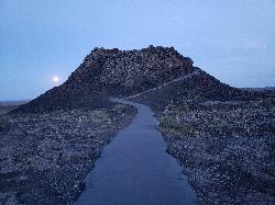
Spatter Cones
Visitors Center, Craters of the Moon National Monument
43.7 miles EMiniature volcanoes formed by lobbed molten lava blobs at Craters of the Moon — a must-see feature that symbolizes this unique national monument; stay on trails to protect the delicate spatter cones.
Hike 0.4 mi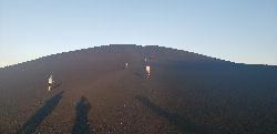
Inferno Cone
Visitors Center, Craters of the Moon National Monument
43.9 miles EA steep climb up Inferno Cone at Craters of the Moon, rewarded with panoramic views of the Great Rift, Snake River Plain, and Pioneer Mountains — and on clear days, the Tetons 100 miles away.
Hike 0.5 mi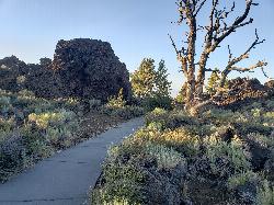
Devil's Orchard Trail
Visitors Center, Craters of the Moon National Monument
44.3 miles EA paved, wheelchair-accessible trail through cinder beds and ancient North Crater wall fragments, with exhibits on protecting this fragile volcanic environment.
Hike 1.9 mi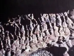
Tree Molds Trail
Visitors Center, Craters of the Moon National Monument
44.4 miles EA paved trail winding through Craters of the Moon Wilderness to a lava flow that captured the shapes of fallen and standing trees in cooling rock — look for wooden posts marking the molds.
Hike


