


15 Hiking Trails near Little Jamaica aka Desert Springs
first prev 1 next lastShowing Hiking Trails within 50 miles Distance miles of Little Jamaica aka Desert Springs near Littlefield, Arizona City, Zip, or Address

Green Valley Trail System
St. George, Utah
19.5 miles NEAn interconnected Southern Utah trail system with everything from the sandy Bearclaw Poppy and slickrock Zen Trail to technical Snake Pit and Rattlesnake routes — endless combinations for all mountain bike skill levels.
Hike, Mountain Bike 0.3 mi
Dixie Sugarloaf / Dixie Rock
St. George, Utah
24.2 miles NEDixie Rock, also known as the Dixie Sugarloaf, is St. George's most recognizable landmark: a rounded, rust-red sandstone prominence rising above the north edge of town with the word "Dixie" painted...
Hike 0.1 mi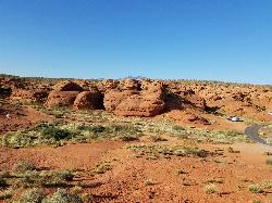
St. George Narrows
St. George, Utah
24.4 miles NEA dry, 0.17-mile slot canyon in downtown St. George inside Pioneer Park — an easy intro to canyon exploration with arch, cabin, and desert garden trails in the same park.
Hike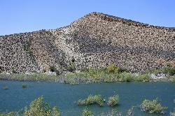
Gunlock State Park
Gunlock
26.2 miles NGunlock Reservoir is a 266-acre Utah state park lake on the Santa Clara River about 15 miles northwest of St. George, with a sandy east shoreline, a boat ramp and a 30-site hookup campground. A Utah Division of Water Quality warning advisory posted August
Camp, Canoe, Hike, Kayak, Swim 0.2-0.4 mi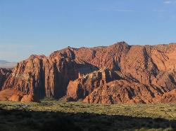
Snow Canyon State Park
St. George, Utah
26.3 miles NEA smaller, quieter cousin to Zion, Snow Canyon offers mountain biking, rock climbing, caving, and desert exploration near the Tuacahn amphitheater outside St. George.
Cave, Hike, Mountain Bike, Rock Climb 0.7 mi
Snow Canyon Lava Caves
St. George, Utah
27.3 miles NESeveral lava tubes in Snow Canyon State Park with an open entrance, narrow passages, and a large final room — plus five Native American petroglyph sites nearby on the trail.
Cave, Hike 11.3 mi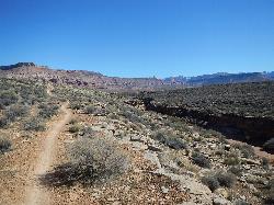
Grapevine Trail
Washington, Utah
29.5 miles NEA 5-mile out-and-back trail connecting southern Utah desert, paved paths, and rocky terrain before ending at Grapevine Spring — a small waterfall cascading down red rock.
Hike, Mountain Bike 9.4 mi
Church Rocks
Washington, Utah
29.5 miles NEA nearly 6-mile red rock ride near St. George winding through sandy desert washes and smooth slick rock — a great practice run before tackling Moab's Slick Rock Trail.
Hike, Mountain Bike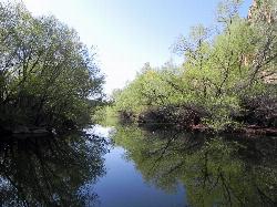
Quail Creek Reservoir
Hurricane
35.6 miles NEA 600-acre reservoir in the red rock west of Hurricane holding some of the warmest swimming water in Utah, with a cobble west-shore beach inside the no-wake zone and a $20 resident day-use fee per vehicle.
Camp, Canoe, Hike, Kayak, Swim 0.7 mi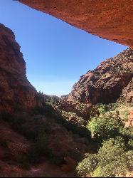
Red Reef trail
Hurricane, Utah
36.3 miles NETwo miles of red slickrock, a slot canyon, a spring waterfall, and ancient Anasazi hieroglyphs in a small cave make this an exceptional family-friendly desert hike.
Hike 3.4 mi
More Cowbell
Virgin, Utah
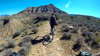
40.9 miles NEA smooth 2.7-mile beginner mountain bike loop through red Utah desert bluffs — mostly flat singletrack that's also great for hikers and connects to more challenging trails.
Hike, Mountain Bike 5.1 mi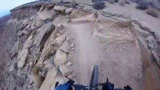
Dead Ringer
Virgin, Utah
40.9 miles NEA 5-mile desert singletrack starting from the JEM trailhead near Virgin, winding through ups and downs and bottoming out in the bumpy, hoof-print-marked Goosebumps area.
Hike, Mountain Bike 7.0 mi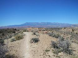
J.E.M. Trail
La Verkin, Utah
44.1 miles NEA 13.27-mile round-trip mountain bike trail near Hurricane, Utah with jarring terrain and sharp turns near sheer cliffs — beautiful red rock and desert views reward the effort.
Hike, Mountain Bike 11.6 mi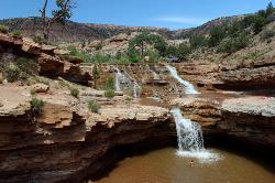
Toquerville Falls
La Verkin, Utah
46.3 miles NELedges, falls, a ladder to the best jumping spots, and a 7-foot-deep pool at the end of a 5.5-mile sandy desert drive — but stay away from the brittle, injury-prone cliff edges.
Dive, Hike, Mountain Bike, Swim 3.3 mi
Guacamole Mesa
Virgin, Utah
49.8 miles NEAn 11-mile advanced desert loop on Guacamole Mesa outside Zion NP — a steep, narrow climb with gorgeous red rock views gives way to a flat desert finish; avoid in rain.
Hike, Mountain Bike


