


Quail Creek Reservoir
Hurricane
Camp, Canoe, Hike, Kayak, and Swim
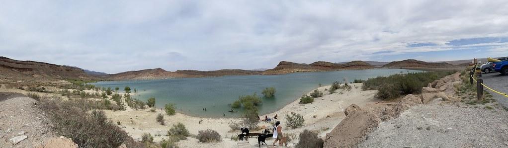
Quail Creek Reservoir sits in a shallow red rock bowl about five miles west of Hurricane, with the Pine Valley Mountains standing up behind it and banded sandstone cliffs closing in the far shore. The lake covers roughly 600 acres and drops to 120 feet out in the middle, but the west side where nearly everyone swims shelves out gently over pale cobble and gravel. That whole strip sits inside a marked no-wake zone, so wading out does not mean sharing space with ski boats.
The temperature is what sets this reservoir apart from the rest of Utah. At 3,300 feet, in the warm Mojave corner of the state, Quail Creek holds some of the warmest water in the park system and stays swimmable well past Labor Day. Summer highs run near 100 degrees with nights around 60, and even January afternoons often reach 50. The water column splits by depth, which is also why the fishing does: rainbow trout and bullhead catfish sit down around 40 feet, while largemouth bass and bluegill stay up in the warm shallows near shore.
Access is straightforward. A line of paved day-use lots runs along the west shore between the two boat ramps, and the water is a hundred yards or so downhill from the pavement. No trail, no scramble. Entry is a day-use fee charged per private vehicle: $20 for Utah residents, $25 for out-of-state visitors, $10 for Utah seniors 65 and older, and $5 to walk or bike in. Camping is $28 a night primitive or $40 with power and water, two vehicles per site maximum. The fee has also been collected at the DWR Field Office and South Overlook lot since May 2023, so the pullout above the water is no longer a free option.
The reservoir was finished in 1985 to bank irrigation and culinary water for St. George and became a state park the next year. Most of what fills it never touched Quail Creek; the water is diverted off the Virgin River and piped in underground. In the opening hours of New Year's Day 1989 the earthfill south dam failed and emptied the lake into the valley. The replacement is roller compacted concrete.
Concessionaires at the main entrance rent paddleboards, kayaks, jet skis and water carpets, and an inflatable water playground goes in offshore during the hot months. There is a slalom ski course on the east side, a campground with power and water at sites 25 through 50, flush toilets, coin showers, drinking water and a fish cleaning station. The Quail Creek Mountain Bike Trail runs 3.4 miles out and back from the park, and the overlook trails climb the ridge for the long view down the lake.
Two local cautions worth knowing: the shoreline hides submerged rock and debris, so check your footing before jumping in anywhere, and out-of-state boats face mandatory quagga inspection before launching. Zion National Park is about 45 minutes east.
More Information
Be courteous, informed, and prepared. Read trailhead guidelines, stay on the trail, and don't feed the wildlife.
Read More
- Plan Ahead and Prepare
- Travel & camp on durable surfaces
- Dispose of waste properly
- Leave what you find
- Minimize campfire impacts
- Respect wildlife
- Be considerate of other visitors
Directions
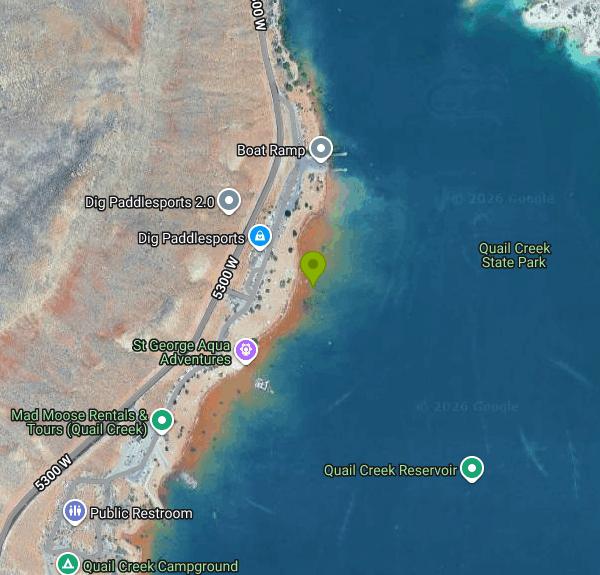
- Get directions on Google Maps
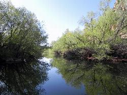
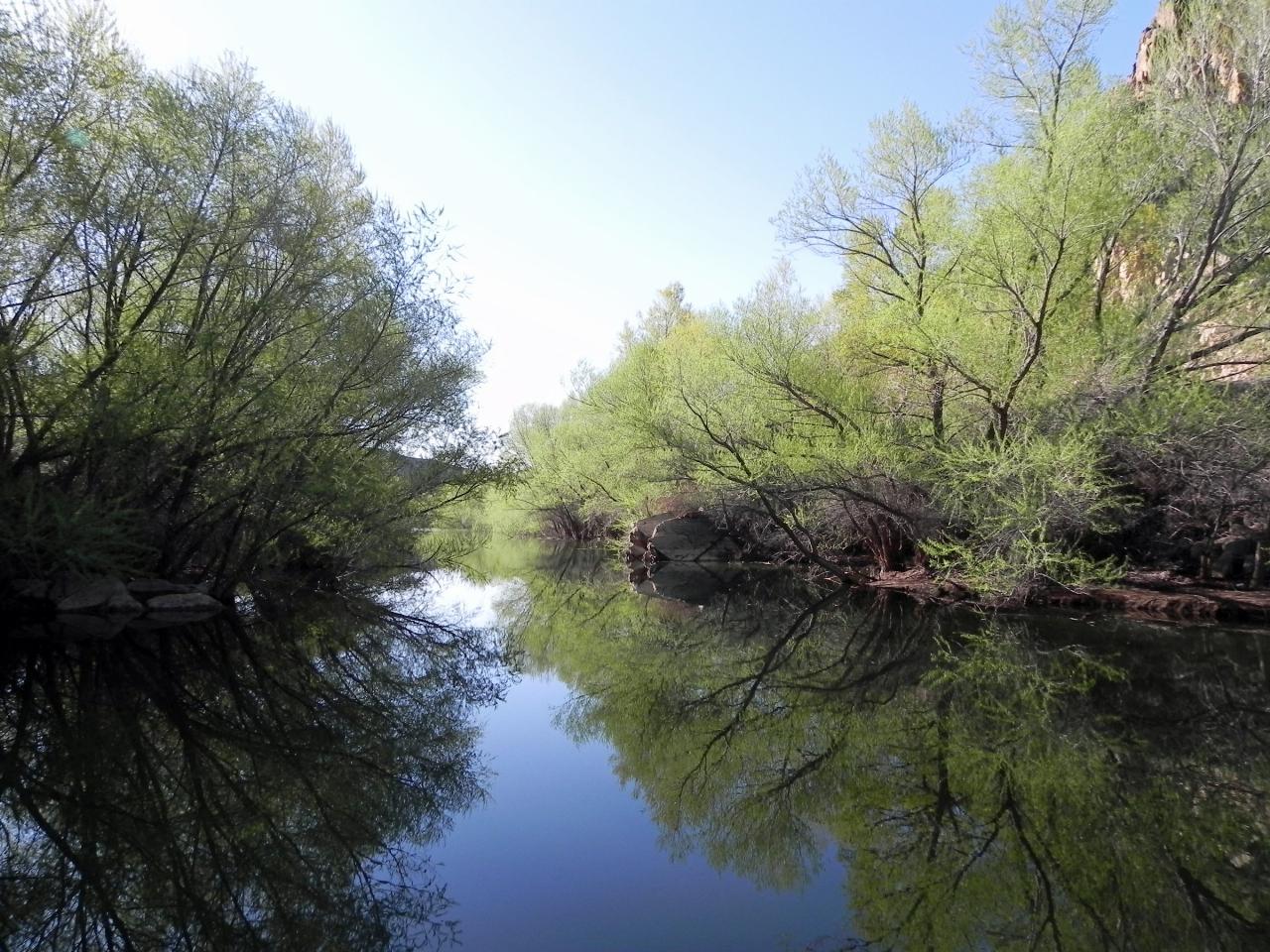
 The upstream arm of Quail Creek Reservoir where the creek enters the lake, with the red cliffs behin courtesy of Fredlyfish4↗ (CC BY-SA 3.0↗)
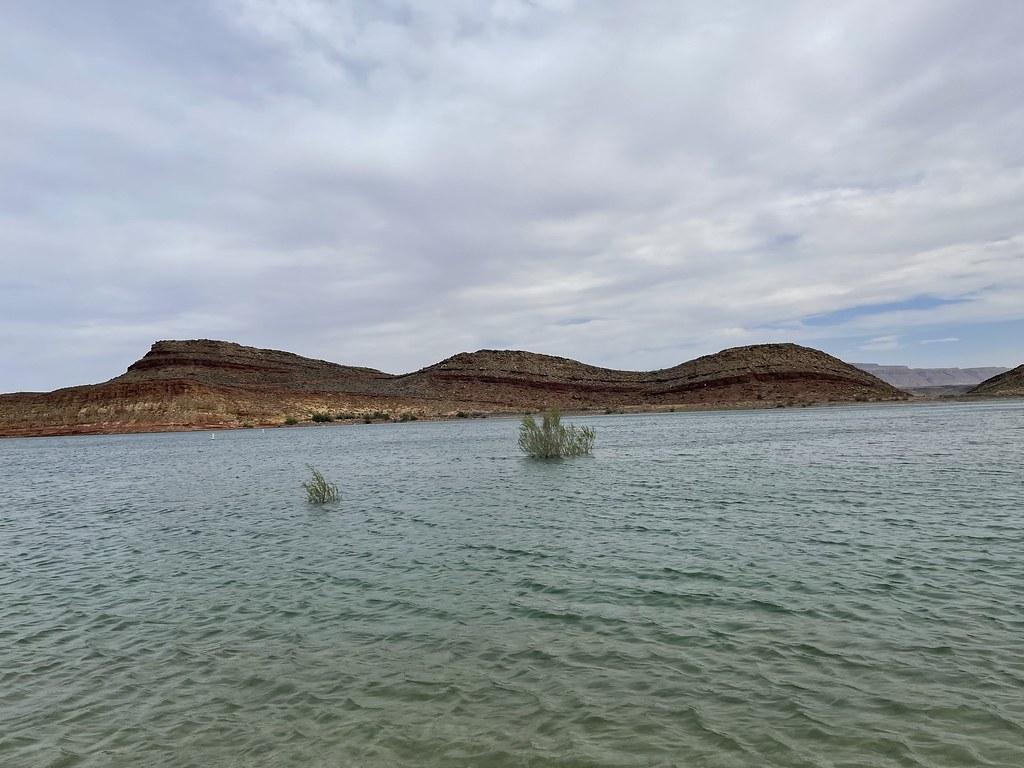
 Open turquoise water and submerged willows below the banded mesas on the east shore courtesy of Viking Warrior Princess↗ (CC BY 2.0↗)
 Panorama of the cobble beach with swimmers out in the shallows courtesy of Viking Warrior Princess↗ (CC BY 2.0↗)
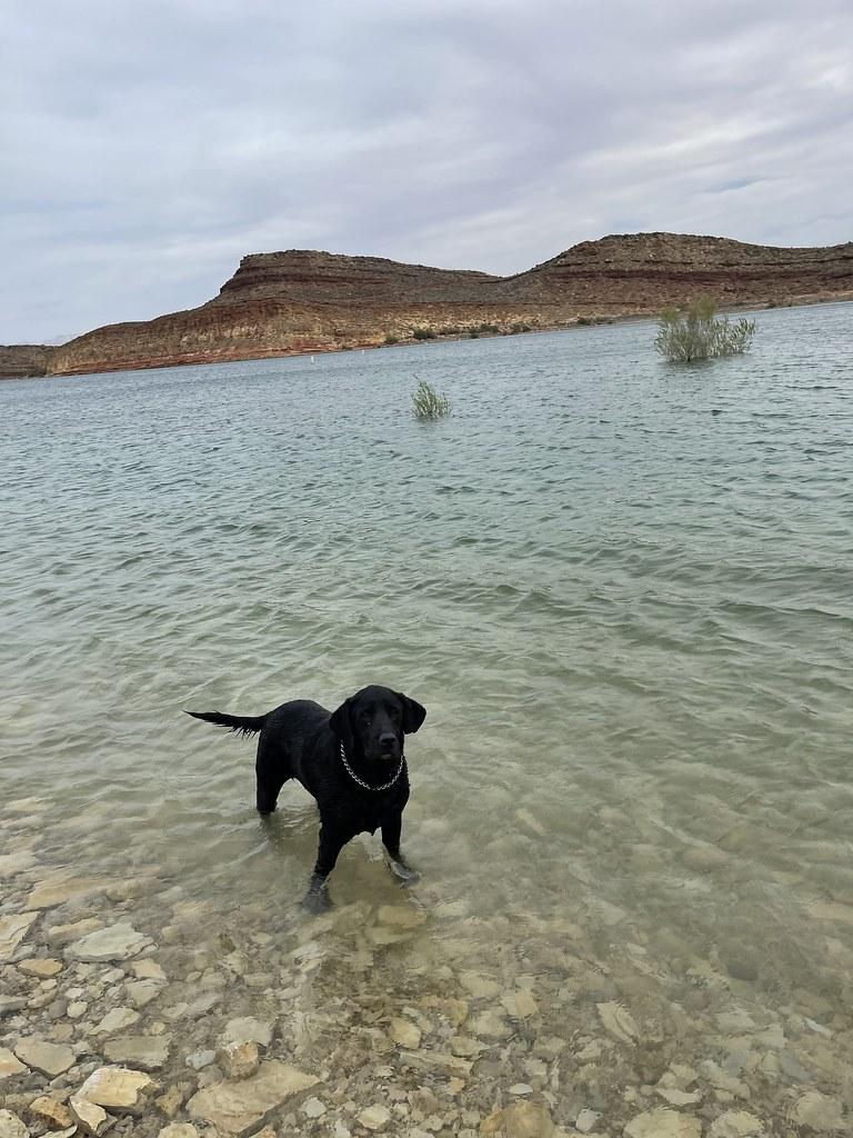
 Clear shallow water over the pale cobble shoreline where swimmers wade in courtesy of Viking Warrior Princess↗ (CC BY 2.0↗)
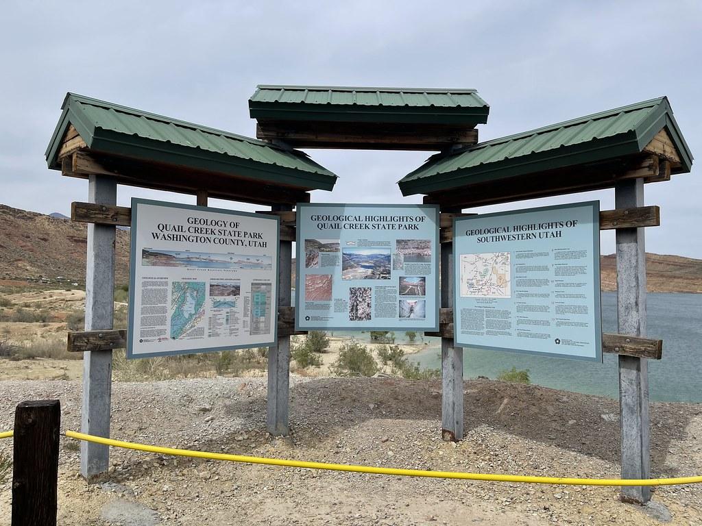
 Park geology interpretive panels with the reservoir behind them courtesy of Viking Warrior Princess↗ (CC BY 2.0↗)
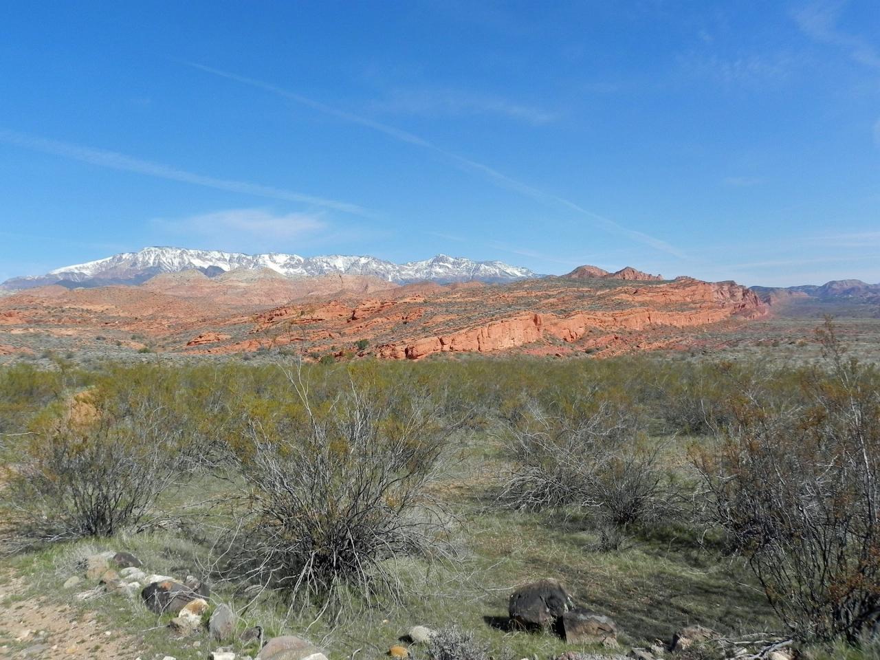
 The Red Cliffs and the Pine Valley Mountains that frame the reservoir from the west courtesy of Fredlyfish4↗ (CC BY-SA 3.0↗)
Other Swimming Holes, Hiking Trails, Canoeing Areas, and Kayaking Areas Nearby
Red Reef trail
Hurricane, Utah
2.5 miles NTwo miles of red slickrock, a slot canyon, a spring waterfall, and ancient Anasazi hieroglyphs in a small cave make this an exceptional family-friendly desert hike.
Hike
Sand Hollow State Park
Hurricane, Utah
4.9 miles SA desert reservoir near Hurricane with a cliff-jumping area, a sandy beach for swimming and paddleboarding, and vast sand dunes for ATVs — southern Utah's desert playground.
Camp, Canoe, Dive, Kayak, Swim 9.4 mi
Church Rocks
Washington, Utah
6.1 miles SWA nearly 6-mile red rock ride near St. George winding through sandy desert washes and smooth slick rock — a great practice run before tackling Moab's Slick Rock Trail.
Hike, Mountain Bike 11.3 mi
Grapevine Trail
Washington, Utah
6.2 miles SWA 5-mile out-and-back trail connecting southern Utah desert, paved paths, and rocky terrain before ending at Grapevine Spring — a small waterfall cascading down red rock.
Hike, Mountain Bike 5.1 mi
Dead Ringer
Virgin, Utah
8.9 miles SEA 5-mile desert singletrack starting from the JEM trailhead near Virgin, winding through ups and downs and bottoming out in the bumpy, hoof-print-marked Goosebumps area.
Hike, Mountain Bike 3.4 mi
More Cowbell
Virgin, Utah
8.9 miles SEA smooth 2.7-mile beginner mountain bike loop through red Utah desert bluffs — mostly flat singletrack that's also great for hikers and connects to more challenging trails.
Hike, Mountain Bike 7.0 mi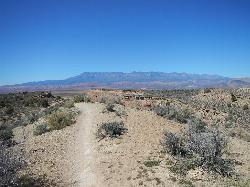
J.E.M. Trail
La Verkin, Utah
9.7 miles EA 13.27-mile round-trip mountain bike trail near Hurricane, Utah with jarring terrain and sharp turns near sheer cliffs — beautiful red rock and desert views reward the effort.
Hike, Mountain Bike 11.6 mi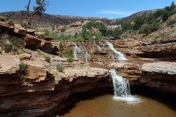
Toquerville Falls
La Verkin, Utah
10.9 miles NELedges, falls, a ladder to the best jumping spots, and a 7-foot-deep pool at the end of a 5.5-mile sandy desert drive — but stay away from the brittle, injury-prone cliff edges.
Dive, Hike, Mountain Bike, Swim 0.1 mi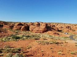
St. George Narrows
St. George, Utah
11.4 miles SWA dry, 0.17-mile slot canyon in downtown St. George inside Pioneer Park — an easy intro to canyon exploration with arch, cabin, and desert garden trails in the same park.
Hike 0.3 mi
Dixie Sugarloaf / Dixie Rock
St. George, Utah
11.6 miles SWDixie Rock, also known as the Dixie Sugarloaf, is St. George's most recognizable landmark: a rounded, rust-red sandstone prominence rising above the north edge of town with the word "Dixie" painted...
Hike 0.2-0.4 mi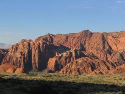
Snow Canyon State Park
St. George, Utah
13.8 miles WA smaller, quieter cousin to Zion, Snow Canyon offers mountain biking, rock climbing, caving, and desert exploration near the Tuacahn amphitheater outside St. George.
Cave, Hike, Mountain Bike, Rock Climb 0.7 mi
Snow Canyon Lava Caves
St. George, Utah
14.0 miles WSeveral lava tubes in Snow Canyon State Park with an open entrance, narrow passages, and a large final room — plus five Native American petroglyph sites nearby on the trail.
Cave, Hike 3.3 mi
Guacamole Mesa
Virgin, Utah
15.4 miles EAn 11-mile advanced desert loop on Guacamole Mesa outside Zion NP — a steep, narrow climb with gorgeous red rock views gives way to a flat desert finish; avoid in rain.
Hike, Mountain Bike 0.5-15.1 mi
Green Valley Trail System
St. George, Utah
16.1 miles SWAn interconnected Southern Utah trail system with everything from the sandy Bearclaw Poppy and slickrock Zen Trail to technical Snake Pit and Rattlesnake routes — endless combinations for all mountain bike skill levels.
Hike, Mountain Bike 7.5 mi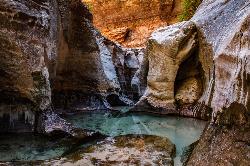
The Subway
Apple Valley, Utah
20.3 miles NEA slot canyon in Zion where you hike, swim, and rappel through majestic tunnels and lava tubes — one of the most magical canyon walks in all of Utah.
Canyoneer, Hike, Swim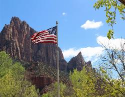
Zion National Park
Hurricane, Utah
22.5 miles EWind, water, and ice sculpted Zion's iconic red sandstone buttes, bends, and mounts into one of the most breathtaking and irreplaceable landscapes on Earth.
Camp, Hike, Mountain Bike, Swim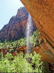
Emerald Pools Trail
Hurricane, Utah
24.1 miles EThree algae-tinted pools carved into Zion's canyon walls glow with an otherworldly emerald color fed by near-constant waterfalls — though swimming and wading are strictly prohibited.
Hike
The Grotto Trail
Springdale, Utah
24.6 miles EThe Grotto Trail is an easy, nearly level half-mile Zion walk linking Zion Lodge and The Grotto — and the gateway to Angels Landing.
Hike 2.6 mi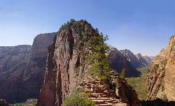
Angels Landing
Springdale, Utah
24.6 miles EZion's most iconic strenuous day hike — 21 steep switchbacks, dramatic Scout Lookout views, and a narrow chain-assisted ridge with 1,000-foot drop-offs to an unmatched canyon summit.
Hike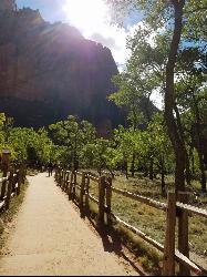
Riverside Walk
Springdale, Utah
25.3 miles EA flat, paved riverside walk through Zion's desert swamp oasis, with hanging gardens on the cliffs and the option to continue into The Narrows — check flood conditions first.
HikeNearby Campsites
Sand Hollow State Park
Hurricane, Utah
4.9 miles SA desert reservoir near Hurricane with a cliff-jumping area, a sandy beach for swimming and paddleboarding, and vast sand dunes for ATVs — southern Utah's desert playground.
Camp, Canoe, Dive, Kayak, Swim
Zion National Park
Hurricane, Utah
22.5 miles EWind, water, and ice sculpted Zion's iconic red sandstone buttes, bends, and mounts into one of the most breathtaking and irreplaceable landscapes on Earth.
Camp, Hike, Mountain Bike, Swim


