


Gunlock State Park
Gunlock
Camp, Canoe, Hike, Kayak, and Swim
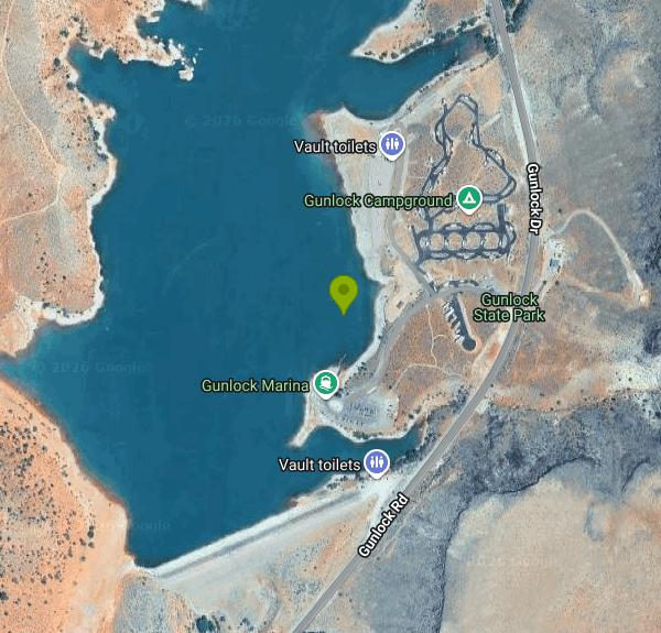
Gunlock State Park sits at 1450 South Gunlock Road in Gunlock, Utah, roughly 15 miles northwest of St. George on the Santa Clara River. Utah State Parks runs the 549-acre park, and the Washington County Water Conservancy District owns and operates the reservoir behind the 1970 dam. Gunlock Reservoir covers about 266 acres at 3,600 feet of elevation and holds 10,884 acre-feet when full. The park is open year round, 7 a.m. to 10 p.m. daily.
Check the algae advisory before you get in. The Utah Division of Water Quality has had a warning advisory posted on Gunlock Reservoir since August 17, 2026, when sampling confirmed a harmful algal bloom. The advisory tells visitors not to swim or water ski, to avoid visible algae while boating, to keep animals out, and to discard fish skin and guts. DWQ samples the reservoir for cyanotoxins and E. coli through the warm months and posts each result on its Gunlock Reservoir monitoring page. Bloom status shifts week to week, so read that page the morning you go instead of trusting last season's all clear.
Swimming happens off the sandy east shoreline near the boat ramp and campground. No lifeguards, no marked swim area, no roped shallows. Staff also flag floating debris that washes in after runoff. Every watercraft checks in at the entrance station and has to satisfy quagga mussel rules, and there is no decontamination station at Gunlock, so arrive already dried out or decontaminated somewhere else.
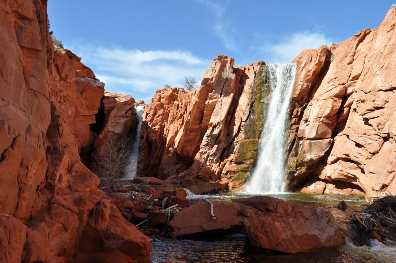
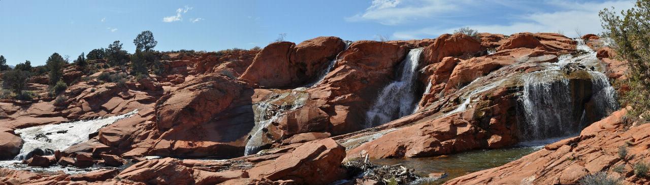
Gunlock Falls is the other draw and it is unreliable. Water only pours over the red sandstone spillway below the dam when the reservoir passes 105 percent of capacity. That happened in spring 2026 at 106 percent after storms and post-Forsyth Fire runoff, but the park lists the falls as not flowing once snowpack runs out, and many years produce nothing at all. The Falls Hike is a 1.2-mile out-and-back. The spillway is worth looking at and a bad place to get in the water: the plunge pools run two to three feet deep over hidden rock, the sandstone stays slick, and there are no barriers. Search and rescue crews answered more than a dozen calls there in 2023, including an 18-year-old who broke both legs jumping from the cliffs, and a cliff diver died at the falls in 2019.
Day-use costs $25 per vehicle for non-residents, $15 for Utah residents and $10 for Utah residents 65 and over, watercraft launching included. A Utah State Parks annual day-use pass is $125, or $65 for seniors. Camping is 30 hookup sites at $45 a night plus $20 for each extra vehicle, with cottages at $175 a night, all booked through ReserveAmerica. Cottages have a kitchenette, heating and air conditioning, a full bathroom, a picnic table and a fire ring, but you bring bedding and towels. Day-use facilities include restrooms, showers, picnic tables, grills, fire pits, shade shelters and group pavilions. Boat ramp hours run 7 a.m. to 8 p.m. May through September and 7 a.m. to 7 p.m. October through April. Fireworks are banned parkwide. Gunlock is a state Blue Ribbon fishery for largemouth bass, bluegill, black crappie and catfish, so anglers work the same shoreline. Park phone is 435-218-6544.
More Information
Current Conditions | Utah State Parks
Current Conditions Gunlock State Park Follow this parkFacebookAdvisory: Floating debris in reservoir. Launch at your own risk.
https://stateparks.utah.gov/parks/gunlock/current-conditions/Gunlock Falls | Utah State Parks
Gunlock Falls Gunlock State Park Follow this parkFacebookAre the Gunlock Falls currently active? NO. There is no water flowing in this area of the park.
https://stateparks.utah.gov/parks/gunlock/gunlock-falls/Gunlock Reservoir Recreational Water Quality Monitoring - Utah Department of Environmental Quality
DEQ's Gunlock Reservoir recreational water quality monitoring checks for Harmful Algal Blooms (HABs) & Waterborne Pathogens (E. coli)
https://deq.utah.gov/dwq/water-quality-health/gunlock-reservoirGunlock State Park | Utah State Parks
Gunlock State Park Follow this parkFacebook General AdvisoryLast updated: 9/08/2026
https://stateparks.utah.gov/parks/gunlock/Park Fees | Utah State Parks
Park Fees Gunlock State Park Follow this parkFacebookPay your day-use fees CategoryItem / SiteDetails / DurationFee Day-Use FeesOut of state day-use vehicle passIncludes use of watercraft launches$25 Day-Use FeesUtah Resident senior (+65) vehicle day passPer vehicle$10 Day-Use FeesUtah Resident vehicle day passPer vehicle$15 Day-Use FeesAnnual PassCan be purchased at the park during boat ramp hours$125 Day-Use FeesSenior Annual PassCan be purchased at the park during boat ramp hours$65 Camping FeesHookup Sites (30 sites)Per night$45 Camping FeesExtra VehiclePer vehicle, per night$20 Camping FeesCottagesPer night$175 Drone Permit FeesDrone Permit5-day permit$15 Fees and FeaturesGunlock State Park Park Fees Current Conditions Boating and Decontamination Gunlock Falls Things to Do Camping and Lodging View All Parks(opens in a new tab) Directions Let's go! Take me to the park. Reserve Reserve a campground Day-Use Pass Purchase a day-use passConditions: View more park conditionsPark Hours: 7 a.m. to 10 p.m. Daily. Boat Ramp Hours: May – September: 7 a.m. – 8 p.m. October – April: 7 a.m. – 7 p.m.
https://stateparks.utah.gov/parks/gunlock/park-fees/Reservoirs | Washington County Water Conservancy DistrictWashington County Water Conservancy Distric
The district currently owns and operates five reservoirs and has plans to construct more in the future. Combined, the existing reservoirs have the capacity to store in excess of 100,000 acre feet (nearly 33 billion gallons) of surface water.
https://wcwcd.gov/water-resources/reservoirs/Santa Clara River at Gunlock, UT - USGS Water Data for the Nation
Discover water data collected at monitoring location USGS-09409880, located in Washington County, Utah and find additional nearby monitoring locations.
https://waterdata.usgs.gov/monitoring-location/USGS-09409880/Be courteous, informed, and prepared. Read trailhead guidelines, stay on the trail, and don't feed the wildlife.
Read More
- Plan Ahead and Prepare
- Travel & camp on durable surfaces
- Dispose of waste properly
- Leave what you find
- Minimize campfire impacts
- Respect wildlife
- Be considerate of other visitors
Directions
From Gunlock
- Head southeast toward N Main St (102 ft)
- Turn right onto N Main St (0.3 mi)
- Continue onto S Gunlock Rd (1.9 mi)
- Turn right onto State Rte 307Destination will be on the right(0.2 mi)
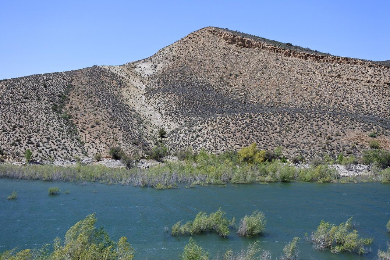
 Gunlock Reservoir looking across the water to the Carmel Formation slopes on the far shore courtesy of Wilson44691↗ (Public domain↗)
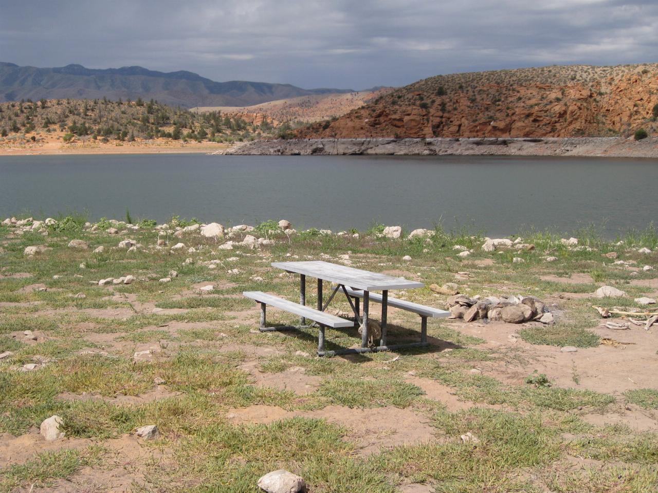
 A shoreline picnic table and fire ring at Gunlock State Park with the reservoir behind it courtesy of Thure Johnson↗ (CC BY 2.0↗)
 The lower Gunlock Falls spillway dropping through red sandstone below the dam courtesy of Panaram "Jade"↗ (CC BY-SA 3.0↗)
 Panorama of the upper Gunlock spillway running across red slickrock courtesy of Panaram "Jade"↗ (CC BY-SA 3.0↗)

Other Swimming Holes, Hiking Trails, Canoeing Areas, and Kayaking Areas Nearby

Snow Canyon Lava Caves
St. George, Utah
7.6 miles ESeveral lava tubes in Snow Canyon State Park with an open entrance, narrow passages, and a large final room — plus five Native American petroglyph sites nearby on the trail.
Cave, Hike 0.2-0.4 mi
Snow Canyon State Park
St. George, Utah
8.1 miles SEA smaller, quieter cousin to Zion, Snow Canyon offers mountain biking, rock climbing, caving, and desert exploration near the Tuacahn amphitheater outside St. George.
Cave, Hike, Mountain Bike, Rock Climb 0.1 mi
St. George Narrows
St. George, Utah
14.5 miles SEA dry, 0.17-mile slot canyon in downtown St. George inside Pioneer Park — an easy intro to canyon exploration with arch, cabin, and desert garden trails in the same park.
Hike 0.3 mi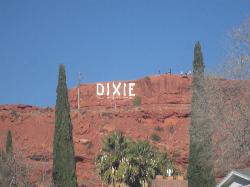
Dixie Sugarloaf / Dixie Rock
St. George, Utah
14.5 miles SEDixie Rock, also known as the Dixie Sugarloaf, is St. George's most recognizable landmark: a rounded, rust-red sandstone prominence rising above the north edge of town with the word "Dixie" painted...
Hike 0.5-15.1 mi
Green Valley Trail System
St. George, Utah
16.1 miles SEAn interconnected Southern Utah trail system with everything from the sandy Bearclaw Poppy and slickrock Zen Trail to technical Snake Pit and Rattlesnake routes — endless combinations for all mountain bike skill levels.
Hike, Mountain Bike 11.3 mi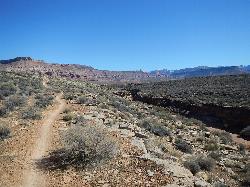
Grapevine Trail
Washington, Utah
17.2 miles SEA 5-mile out-and-back trail connecting southern Utah desert, paved paths, and rocky terrain before ending at Grapevine Spring — a small waterfall cascading down red rock.
Hike, Mountain Bike 9.4 mi
Church Rocks
Washington, Utah
17.6 miles SEA nearly 6-mile red rock ride near St. George winding through sandy desert washes and smooth slick rock — a great practice run before tackling Moab's Slick Rock Trail.
Hike, Mountain Bike 0.7 mi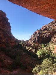
Red Reef trail
Hurricane, Utah
20.3 miles ETwo miles of red slickrock, a slot canyon, a spring waterfall, and ancient Anasazi hieroglyphs in a small cave make this an exceptional family-friendly desert hike.
Hike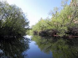
Quail Creek Reservoir
Hurricane
21.5 miles EA 600-acre reservoir in the red rock west of Hurricane holding some of the warmest swimming water in Utah, with a cobble west-shore beach inside the no-wake zone and a $20 resident day-use fee per vehicle.
Camp, Canoe, Hike, Kayak, Swim
Sand Hollow State Park
Hurricane, Utah
23.5 miles SEA desert reservoir near Hurricane with a cliff-jumping area, a sandy beach for swimming and paddleboarding, and vast sand dunes for ATVs — southern Utah's desert playground.
Camp, Canoe, Dive, Kayak, Swim 0.1 mi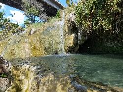
Little Jamaica aka Desert Springs
Littlefield, Arizona
26.2 miles SCLOSED. A tropical-feeling warm spring waterfall and pool in the Arizona desert, with plant-covered grottos and a family-friendly depth that never exceeds five feet.
Hike, Swim 11.6 mi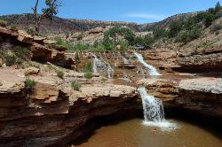
Toquerville Falls
La Verkin, Utah
29.1 miles ELedges, falls, a ladder to the best jumping spots, and a 7-foot-deep pool at the end of a 5.5-mile sandy desert drive — but stay away from the brittle, injury-prone cliff edges.
Dive, Hike, Mountain Bike, Swim 5.1 mi
Dead Ringer
Virgin, Utah
30.4 miles EA 5-mile desert singletrack starting from the JEM trailhead near Virgin, winding through ups and downs and bottoming out in the bumpy, hoof-print-marked Goosebumps area.
Hike, Mountain Bike 3.4 mi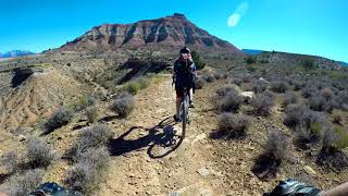
More Cowbell
Virgin, Utah
30.4 miles EA smooth 2.7-mile beginner mountain bike loop through red Utah desert bluffs — mostly flat singletrack that's also great for hikers and connects to more challenging trails.
Hike, Mountain Bike 7.0 mi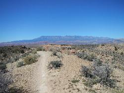
J.E.M. Trail
La Verkin, Utah
31.0 miles EA 13.27-mile round-trip mountain bike trail near Hurricane, Utah with jarring terrain and sharp turns near sheer cliffs — beautiful red rock and desert views reward the effort.
Hike, Mountain Bike 3.3 mi
Guacamole Mesa
Virgin, Utah
36.3 miles EAn 11-mile advanced desert loop on Guacamole Mesa outside Zion NP — a steep, narrow climb with gorgeous red rock views gives way to a flat desert finish; avoid in rain.
Hike, Mountain Bike 3.6 mi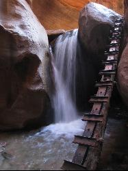
Kanarraville Falls
Kanarraville, Utah
38.1 miles NEA slot canyon hike through ankle-to-knee-deep water to twin waterfalls, with a natural sandstone slide into a refreshing swimming hole halfway through the route.
Hike, Swim 7.5 mi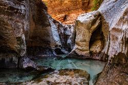
The Subway
Apple Valley, Utah
39.8 miles EA slot canyon in Zion where you hike, swim, and rappel through majestic tunnels and lava tubes — one of the most magical canyon walks in all of Utah.
Canyoneer, Hike, Swim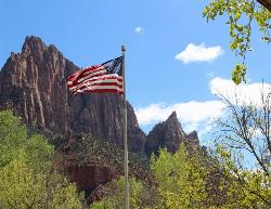
Zion National Park
Hurricane, Utah
43.7 miles EWind, water, and ice sculpted Zion's iconic red sandstone buttes, bends, and mounts into one of the most breathtaking and irreplaceable landscapes on Earth.
Camp, Hike, Mountain Bike, Swim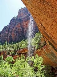
Emerald Pools Trail
Hurricane, Utah
44.8 miles EThree algae-tinted pools carved into Zion's canyon walls glow with an otherworldly emerald color fed by near-constant waterfalls — though swimming and wading are strictly prohibited.
HikeNearby Campsites
Quail Creek Reservoir
Hurricane
21.5 miles EA 600-acre reservoir in the red rock west of Hurricane holding some of the warmest swimming water in Utah, with a cobble west-shore beach inside the no-wake zone and a $20 resident day-use fee per vehicle.
Camp, Canoe, Hike, Kayak, Swim
Sand Hollow State Park
Hurricane, Utah
23.5 miles SEA desert reservoir near Hurricane with a cliff-jumping area, a sandy beach for swimming and paddleboarding, and vast sand dunes for ATVs — southern Utah's desert playground.
Camp, Canoe, Dive, Kayak, Swim
Zion National Park
Hurricane, Utah
43.7 miles EWind, water, and ice sculpted Zion's iconic red sandstone buttes, bends, and mounts into one of the most breathtaking and irreplaceable landscapes on Earth.
Camp, Hike, Mountain Bike, Swim


