


15 Hiking Trails near Smith Lake
first prev 1 next lastShowing Hiking Trails within 50 miles Distance miles of Smith Lake near Whitefish, Montana City, Zip, or Address

Jewel Basin
Kalispell, Montana
25.2 miles SEThe Jewel Basin Hiking Area packs 35 miles of hiker-only trail, two dozen alpine lakes, and the Mount Aeneas lookout into the Swan Range near Kalispell.
Backpack, Camp, Hike
Harry Harm Park
Bigfork, Montana
27.4 miles SEHike near Bigfork, Montana
Hike 4.5 mi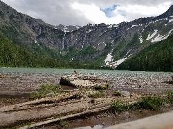
Avalanche Lake
Apgar Village, Glacier National Park
30.0 miles NEHike near Apgar Village, Glacier National Park
Hike 0.9 mi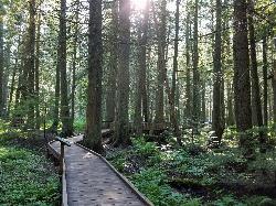
Trail of the Cedars
Apgar Village, Glacier National Park
30.1 miles NEAn easy wheelchair-accessible loop through towering 500-year-old cedars up to 100 feet tall in Glacier National Park, with gorge views of glacial Avalanche Creek and a footbridge over the water.
Hike 5.0 mi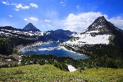
Hidden Lake
Glacier National Park
34.3 miles NEA 6.6-mile round-trip hike from Logan Pass through alpine meadows, dense forest, and rocky terrain to the crystal-clear waters of Hidden Lake, with bighorn sheep and mountain goats along the way.
Hike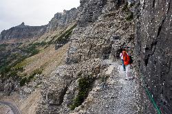
Highline Trail
Logan Pass, Glacier National Park
34.4 miles NEOne of Glacier National Park's most celebrated hikes — the Highline Trail spans alpine meadows, the Continental Divide, and the Garden Wall with mountain goats, wildflowers, and views to rival anything in the park.
Backpack, Hike
Clements Mountain Trail
Logan Pass, Glacier National Park
34.4 miles NEA four-mile round-trip climb of Clements Mountain in Glacier National Park, with several routes of varying difficulty and significant elevation gain — often confused with nearby Reynolds Mountain.
Backpack, Camp, Hike, Rock Climb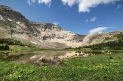
Siyeh Pass Trail
Logan Pass, Glacier National Park
36.5 miles NEA top-of-the-world point-to-point hike through Glacier's Preston Park meadows to a high pass with glacier views, mountain goats, and bighorn sheep.
Backpack, Hike 1.4-4.6 mi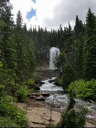
St Mary and Virginia Falls
Rising Sun, Glacier National Park
37.8 miles NEA scenic 3.7-mile roundtrip hike past St. Mary Falls' 50-foot two-tiered drop to the upper and lower tiers of Virginia Falls, best in early season when snowmelt is rushing.
Hike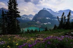
Grinnell Lake
Many Glacier, Glacier National Park
37.9 miles NEA 7.5-mile round-trip hike along glacier-fed subalpine lakes to a turquoise glacial lake in Glacier National Park — with a waterfall along the way and an optional ferry across Lake Josephine.
Hike, Swim 0.6 mi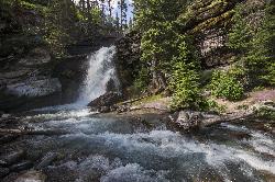
Baring Falls
Glacier National Park
38.5 miles NEA moderate trail hike in Glacier National Park to 30-foot Baring Falls dropping into crystal-clear water — with scenic mountain overlooks, wildlife, and an optional gorge viewpoint 1.5 miles beyond.
Hike 10.5 mi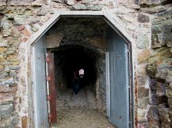
Ptarmigan Tunnel
Many Glacier, Glacier National Park
40.2 miles NEA long hike to a hand-carved 240-foot tunnel through the Ptarmigan Wall at Glacier National Park, opening to views of Seaward Mountain and Elizabeth Lake — open mid-July through early October.
Backpack, Hike 9.7 mi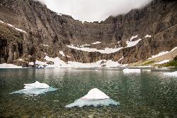
Iceberg Lake
Many Glacier, Glacier National Park
40.2 miles NENine miles of alpine trail deliver sweeping views of Ptarmigan Wall, Mount Grinnell, and Mount Wilbur before arriving at an iceberg-dotted cirque lake in Glacier NP.
Backpack, Camp, Hike 11.8 mi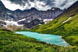
Cracker Lake Trail
Many Glacier, Glacier National Park
40.8 miles NEA 12.5-mile hike through forests and meadows to a surreal turquoise lake in the Many Glacier area — plan for two days to fully enjoy this bear-country gem.
Backpack, Camp, Hike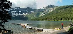
Cameron Lake
Waterton, Glacier National Park
43.6 miles NA picturesque Canadian glacial lake in Waterton Lakes National Park surrounded by mountain scenery, avalanche-sculpted shores, kayaking, fishing, and Herbst Glacier views.
Backpack, Camp, Hike


