


Siyeh Pass Trail
Logan Pass, Glacier National Park
| Address: | Siyeh Bend Trail, Browning, MT 59417, USA |
| GPS: |
48°42'6.2"N 113°40'4.0"W Maps | Directions |
| State: | Montana |
| Trail Length: | 10.00 miles |
| Trail Type: | Shuttle |
| Hike Difficulty: | Advanced |
| Elevation Gain: | 2090 feet |
Waterfalls Streams Glaciers Trails Wildflowers National Park Pet Friendly
Backpack and Hike
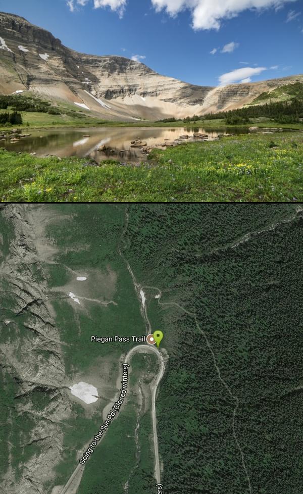
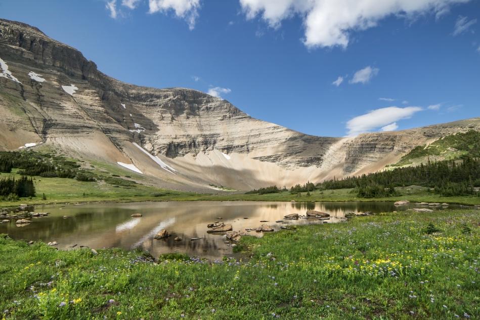
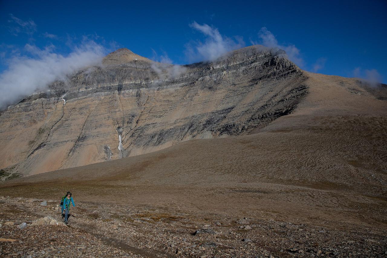
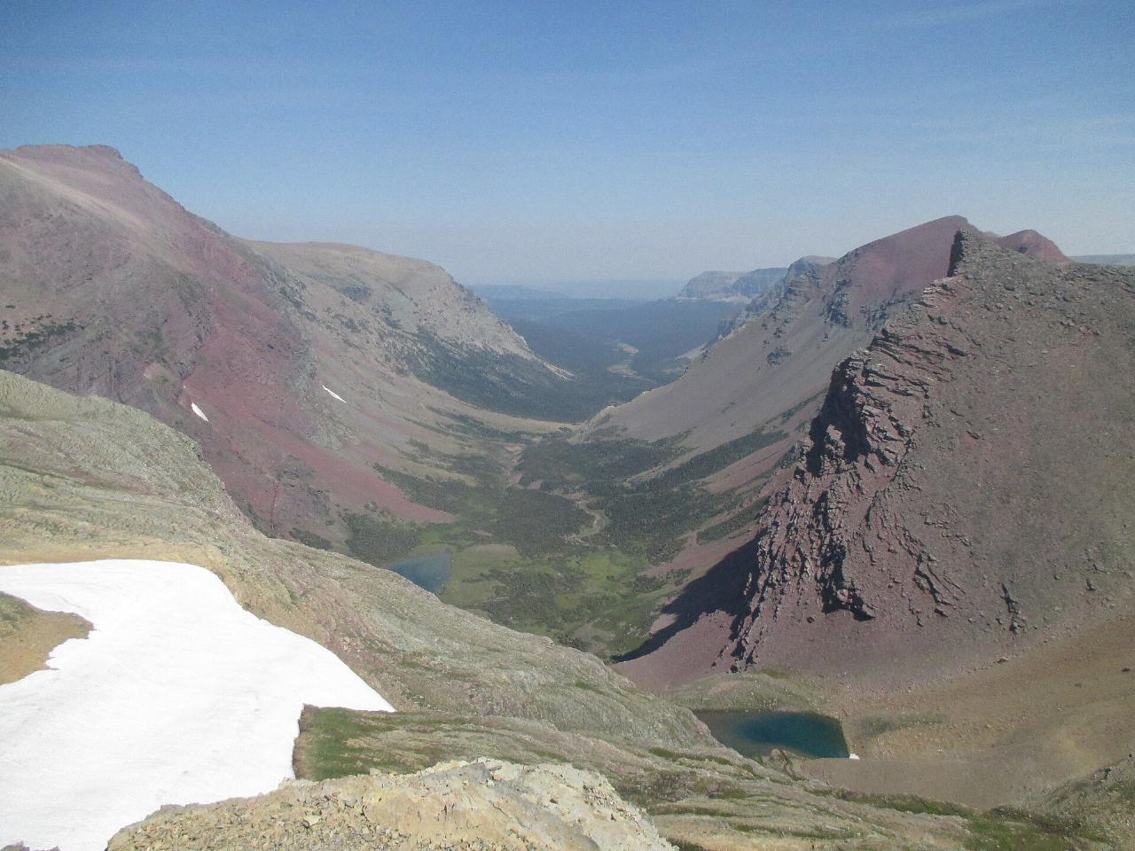
The Siyeh Pass Trail is widely considered one of the finest day hikes in Glacier National Park — a roughly 10-mile point-to-point traverse that climbs through flower-filled meadows to a high alpine pass with top-of-the-world views, then descends a dramatic canyon toward Saint Mary Lake. With about 2,250 feet of elevation gain to a high point near 8,080 feet, it's a strenuous but hugely rewarding outing that samples the very best of Glacier: wildflowers, glaciers, wildlife, and staggering mountain scenery.
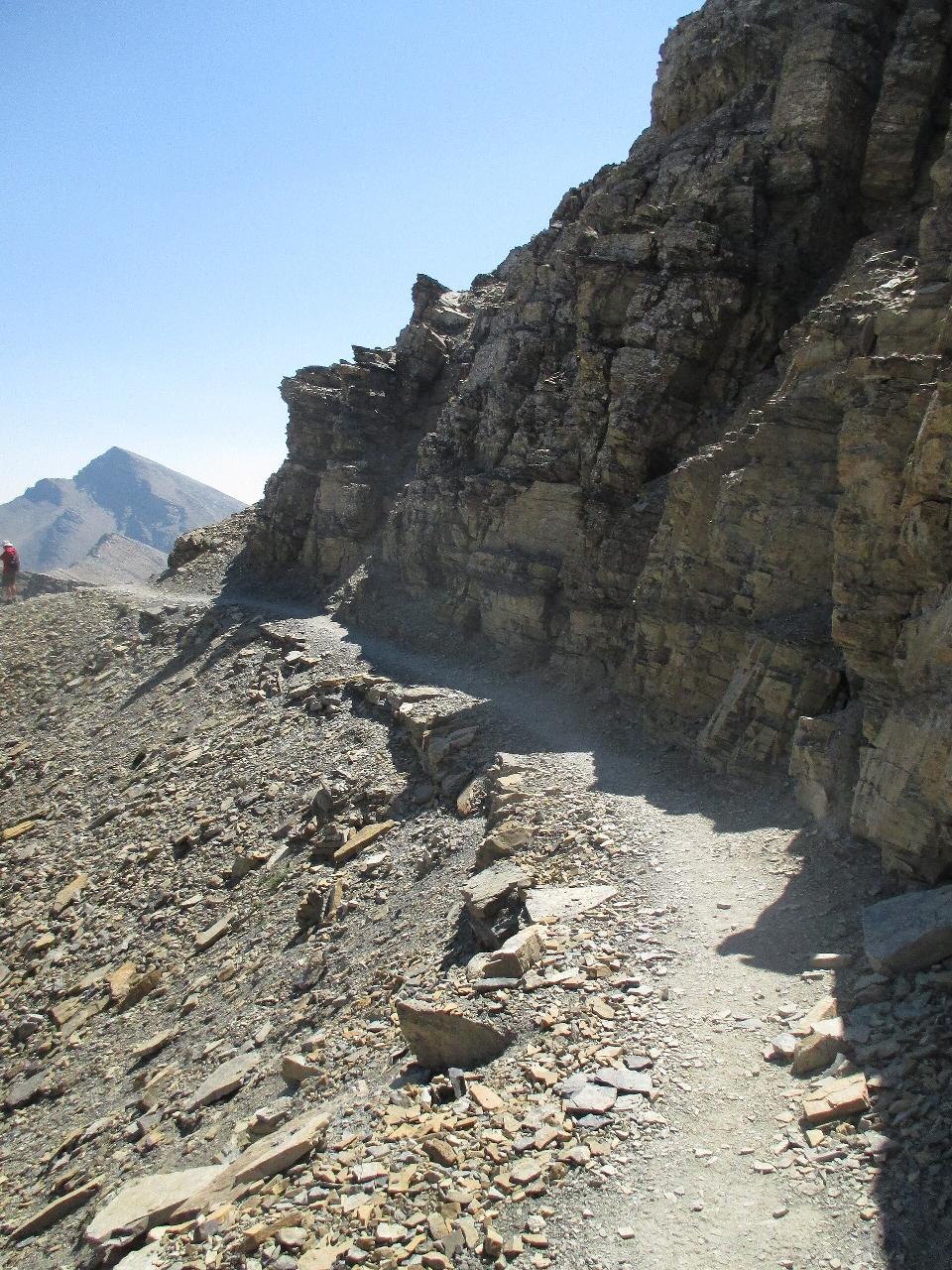
The classic route begins at Siyeh Bend on the Going-to-the-Sun Road and ends at Sunrift Gorge, so it's a one-way hike — you'll ride the park shuttle back to your car (more on that below). From the trailhead the path climbs about 2.5 miles through forest before opening up; where the trail splits, keep toward Preston Park, one of the most beautiful subalpine meadows in the park and a perfect spot to rest beneath 10,000-foot Mount Siyeh. From the meadow, a series of switchbacks climbs the flank of Matahpi Peak to the pass itself — the high point of the hike, with sweeping views over several drainages at once.
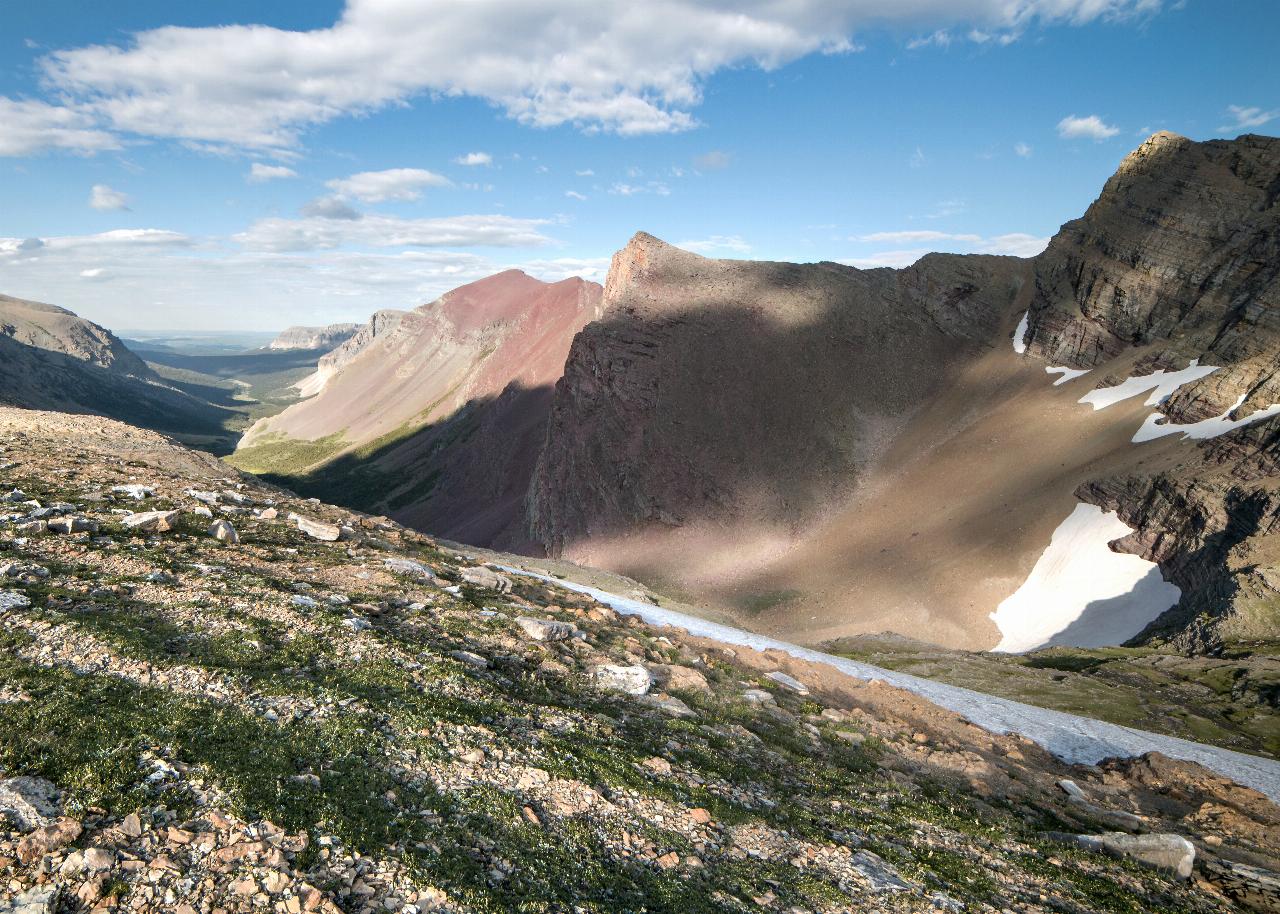
The descent is every bit as spectacular. Dropping toward Baring Creek, hikers pass close to Sexton Glacier, wander through wildflower slopes, and often spot mountain goats and bighorn sheep on the rocky heights. Depending on the season you may cross lingering snowfields. The trail finally winds down to Sunrift Gorge on the shore of Saint Mary Lake, where you catch the shuttle back to Siyeh Bend.
Plan around the logistics. The hike sits along the Going-to-the-Sun Road, and reaching the trailheads is easiest via the park's free shuttle — but in 2026 the shuttle requires a reservation (a small processing fee, released 60 days ahead or at 7 p.m. the night before). A park entrance pass is required. The high country stays snowbound much of the year, so the season generally runs from about mid-July into late September; check current trail and road status before you go.
Keep an eye on the rock underfoot, too. The colorful red and green cliffs here belong to the ancient Belt Supergroup, and the trail passes limestone of the Helena (Siyeh) Formation that holds stromatolites — fossilized mats of blue-green algae roughly 1.45 billion years old, among the oldest visible signs of life on Earth. It's a humbling thing to spot mid-hike: proof that this dramatic landscape has a story reaching back almost unimaginably far.
This is grizzly country, and bear sightings are common, so carry bear spray, know how to use it, and make noise on blind corners. Bring layers for fast-changing alpine weather, sun protection, plenty of water, and sturdy footwear for the long descent. Start early to secure parking and your shuttle, and give yourself the whole day — Siyeh Pass rewards every mile with the kind of scenery that makes Glacier famous.
More Information
Glacier National Park Itinerary
This Glacier National Park Itinerary will help you get started as you plan your vacation to Glacier National Park.
https://www.justgotravelstudios.com/collections/national-park-itineraries/products/glacier-national-park-itinerary?ref=9zpxis0diinSiyeh Bend (U.S. National Park Service)
Located at a prominent bend on Going-to-the-Sun Road, Siyeh Bend is a popular stop for hikers, serving as the starting point for the Siyeh Pass and Piegan Pass Trails.
https://www.nps.gov/places/siyeh-bend.htmSiyeh Pass 2016 - Hike 734
Hiking Siyeh Pass in Glacier National Park in July and August inevitably leads to incredible amounts of wonderful flowers and this trip, under a cloudless blue sky, did not disappoint. I was hiking with some friends Mary and Baker who had won a hike with me during the annual Backpacker’s Ball that the Glacier Conservancy puts […]
https://hike734.com/trip/siyeh-pass-2016/Siyeh Pass Route Hiking Trail, Swiftcurrent, Montana
Work your way past alpine flower meadows, breathtaking views, fantastic mountains, and a glacier. Near Swiftcurrent, Montana.
https://www.hikingproject.com/trail/7018725/siyeh-pass-routeSiyeh Pass – Hike to Siyeh Pass in Glacier National Park
Siyeh Pass: Details for the hike to Siyeh Pass in Glacier National Park. Includes trail description, key features, pictures, map and elevation profile.
https://www.hikinginglacier.com/siyeh-pass.htmBe courteous, informed, and prepared. Read trailhead guidelines, stay on the trail, and don't feed the wildlife.
Read More
- Plan Ahead and Prepare
- Travel & camp on durable surfaces
- Dispose of waste properly
- Leave what you find
- Minimize campfire impacts
- Respect wildlife
- Be considerate of other visitors
Directions
From Logan Pass, Glacier National Park
- Head southeast on Glacier Rte 1 Rd/Going-to-the-Sun RdMay be closed at certain times or daysDestination will be on the left(2.8 mi)

Other Hiking Trails and Backpacking Trails Nearby

Clements Mountain Trail
Logan Pass, Glacier National Park
2.3 miles WA four-mile round-trip climb of Clements Mountain in Glacier National Park, with several routes of varying difficulty and significant elevation gain — often confused with nearby Reynolds Mountain.
Backpack, Camp, Hike, Rock Climb
Highline Trail
Logan Pass, Glacier National Park
2.3 miles WOne of Glacier National Park's most celebrated hikes — the Highline Trail spans alpine meadows, the Continental Divide, and the Garden Wall with mountain goats, wildflowers, and views to rival anything in the park.
Backpack, Hike 5.0 mi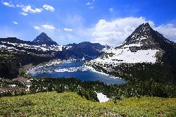
Hidden Lake
Glacier National Park
2.3 miles WA 6.6-mile round-trip hike from Logan Pass through alpine meadows, dense forest, and rocky terrain to the crystal-clear waters of Hidden Lake, with bighorn sheep and mountain goats along the way.
Hike 1.4-4.6 mi
St Mary and Virginia Falls
Rising Sun, Glacier National Park
3.3 miles SEA scenic 3.7-mile roundtrip hike past St. Mary Falls' 50-foot two-tiered drop to the upper and lower tiers of Virginia Falls, best in early season when snowmelt is rushing.
Hike 0.6 mi
Baring Falls
Glacier National Park
3.7 miles SEA moderate trail hike in Glacier National Park to 30-foot Baring Falls dropping into crystal-clear water — with scenic mountain overlooks, wildlife, and an optional gorge viewpoint 1.5 miles beyond.
Hike
Grinnell Lake
Many Glacier, Glacier National Park
4.6 miles NA 7.5-mile round-trip hike along glacier-fed subalpine lakes to a turquoise glacial lake in Glacier National Park — with a waterfall along the way and an optional ferry across Lake Josephine.
Hike, Swim 11.8 mi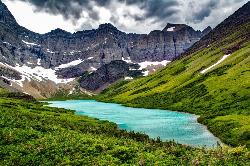
Cracker Lake Trail
Many Glacier, Glacier National Park
6.5 miles NA 12.5-mile hike through forests and meadows to a surreal turquoise lake in the Many Glacier area — plan for two days to fully enjoy this bear-country gem.
Backpack, Camp, Hike 10.5 mi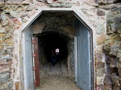
Ptarmigan Tunnel
Many Glacier, Glacier National Park
6.7 miles NA long hike to a hand-carved 240-foot tunnel through the Ptarmigan Wall at Glacier National Park, opening to views of Seaward Mountain and Elizabeth Lake — open mid-July through early October.
Backpack, Hike 9.7 mi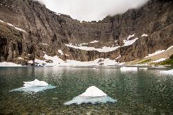
Iceberg Lake
Many Glacier, Glacier National Park
6.7 miles NNine miles of alpine trail deliver sweeping views of Ptarmigan Wall, Mount Grinnell, and Mount Wilbur before arriving at an iceberg-dotted cirque lake in Glacier NP.
Backpack, Camp, Hike 0.9 mi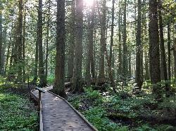
Trail of the Cedars
Apgar Village, Glacier National Park
7.1 miles WAn easy wheelchair-accessible loop through towering 500-year-old cedars up to 100 feet tall in Glacier National Park, with gorge views of glacial Avalanche Creek and a footbridge over the water.
Hike 4.5 mi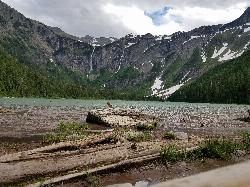
Avalanche Lake
Apgar Village, Glacier National Park
7.1 miles WHike near Apgar Village, Glacier National Park
Hike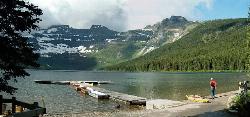
Cameron Lake
Waterton, Glacier National Park
27.7 miles NWA picturesque Canadian glacial lake in Waterton Lakes National Park surrounded by mountain scenery, avalanche-sculpted shores, kayaking, fishing, and Herbst Glacier views.
Backpack, Camp, Hike
Jewel Basin
Kalispell, Montana
38.6 miles SThe Jewel Basin Hiking Area packs 35 miles of hiker-only trail, two dozen alpine lakes, and the Mount Aeneas lookout into the Swan Range near Kalispell.
Backpack, Camp, Hike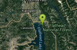
Harry Harm Park
Bigfork, Montana
48.5 miles SWHike near Bigfork, Montana
HikeNearby Campsites
Clements Mountain Trail
Logan Pass, Glacier National Park
2.3 miles WA four-mile round-trip climb of Clements Mountain in Glacier National Park, with several routes of varying difficulty and significant elevation gain — often confused with nearby Reynolds Mountain.
Backpack, Camp, Hike, Rock Climb 11.8 mi
Cracker Lake Trail
Many Glacier, Glacier National Park
6.5 miles NA 12.5-mile hike through forests and meadows to a surreal turquoise lake in the Many Glacier area — plan for two days to fully enjoy this bear-country gem.
Backpack, Camp, Hike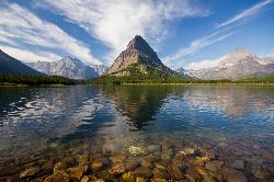
Many Glacier Campground
Many Glacier, Glacier National Park
6.6 miles NMany Glacier Campground sits in what many visitors consider the most spectacular corner of Glacier National Park: the Many Glacier valley on the park's northeast side, cradled among towering peaks...
Camp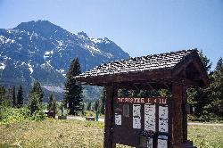
Rising Sun Campground
Glacier National Park
6.7 miles EMore than 150 sites in eastern Glacier National Park close to Going-to-the-Sun Road, St. Mary's Falls and Red Rock Falls trails, and frequent bear, elk, and bighorn sightings.
Camp 9.7 mi
Iceberg Lake
Many Glacier, Glacier National Park
6.7 miles NNine miles of alpine trail deliver sweeping views of Ptarmigan Wall, Mount Grinnell, and Mount Wilbur before arriving at an iceberg-dotted cirque lake in Glacier NP.
Backpack, Camp, Hike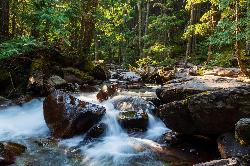
Avalanche Campground
Glacier National Park
7.1 miles WNestled on Glacier National Park's west side, Avalanche Campground puts 128 sites, flush toilets, and bear-proof storage right next to the Trail of the Cedars and the stunning Avalanche Lake hike.
Camp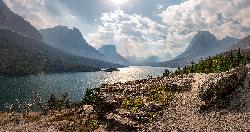
St. Mary Campground
Glacier National Park
10.7 miles EOver 200 campsites on the edge of Glacier National Park with flush toilets, showers, and quick access to Going-to-the-Sun Road, the Highline Trail, and St. Mary Lake.
Camp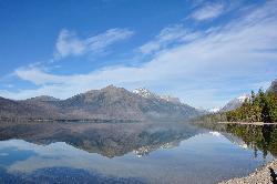
Sprague Campground
Glacier National Park
11.9 miles SWAn 85-site campground on the west side of Glacier National Park near Lake McDonald, with swimming, boating, fishing, wildlife viewing, and the Trail of the Cedars nearby.
Camp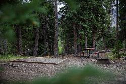
Cut Bank Campground
Glacier National Park
14.7 miles SEA peaceful forested campground along Cut Bank Creek in Glacier National Park with 48 first-come sites, nearby hiking trails, and access to fishing at St. Mary Lake.
Camp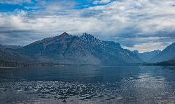
Fish Creek Campground
Glacier National Park
18.0 miles SWA 193-site Glacier National Park campground along Fish Creek, surrounded by pine and cedar forest, with mountain views, fire rings, and access to the Trail of the Cedars nearby.
Camp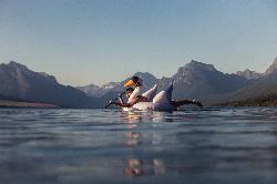
Apgar Campground
Apgar Village, Glacier National Park
18.9 miles SWCampsites on the shores of Lake McDonald within Glacier National Park, with easy access to the Apgar Visitor Center, nature center, nearby hiking, and the western entrance to Going-to-the-Sun Road.
Camp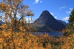
Two Medicine Campground
Glacier National Park
20.1 miles SETwo Medicine Campground lies in the quiet, dramatic southeast corner of Glacier National Park, on the shore of Two Medicine Lake beneath the sharp pyramid of Sinopah Mountain. About 13 miles up the...
Camp
Logging Creek Campground
Glacier National Park
23.9 miles WA first-come, first-served campground nestled in the Many Glacier area of Glacier National Park, with 49 sites and close access to the Grinnell Glacier and Swiftcurrent trails.
Camp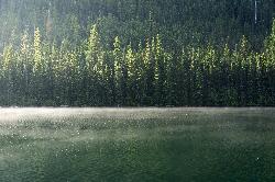
Quartz Creek Campground
Glacier National Park
25.4 miles WA peaceful 22-site campground in the heart of Glacier National Park, close to Going-to-the-Sun Road and a short hike from iconic Grinnell Glacier.
Camp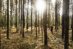
Bowman Lake Campground
Glacier National Park
25.9 miles WA stunning lakeside campground in the heart of Glacier National Park with 50+ campsites, bear-proof lockers, nearby hiking trails, and access to swimming, fishing, and paddling on Bowman Lake.
Camp
Cameron Lake
Waterton, Glacier National Park
27.7 miles NWA picturesque Canadian glacial lake in Waterton Lakes National Park surrounded by mountain scenery, avalanche-sculpted shores, kayaking, fishing, and Herbst Glacier views.
Backpack, Camp, Hike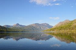
Kintla Campground
Glacier National Park
29.3 miles NWA 26-site campground on the shores of Kintla Lake inside Glacier National Park — fire pits, bear boxes, vault toilets, and the Kintla Lake Trail at your doorstep.
Camp
Jewel Basin
Kalispell, Montana
38.6 miles SThe Jewel Basin Hiking Area packs 35 miles of hiker-only trail, two dozen alpine lakes, and the Mount Aeneas lookout into the Swan Range near Kalispell.
Backpack, Camp, Hike


