


Lake Marcia
Montague
Camp, Hike, and Swim
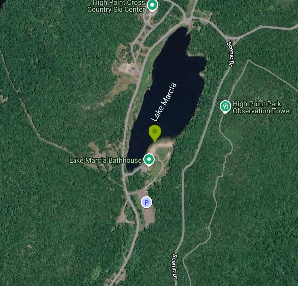
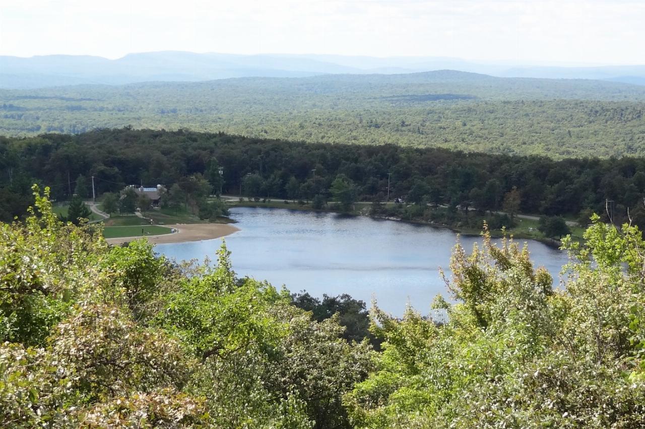
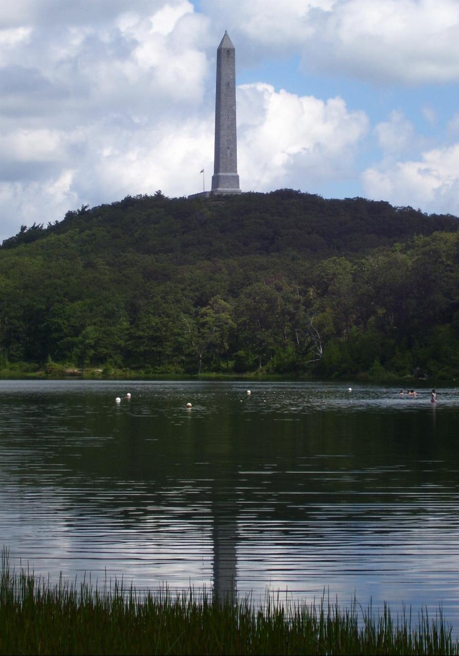
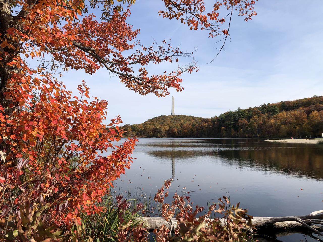
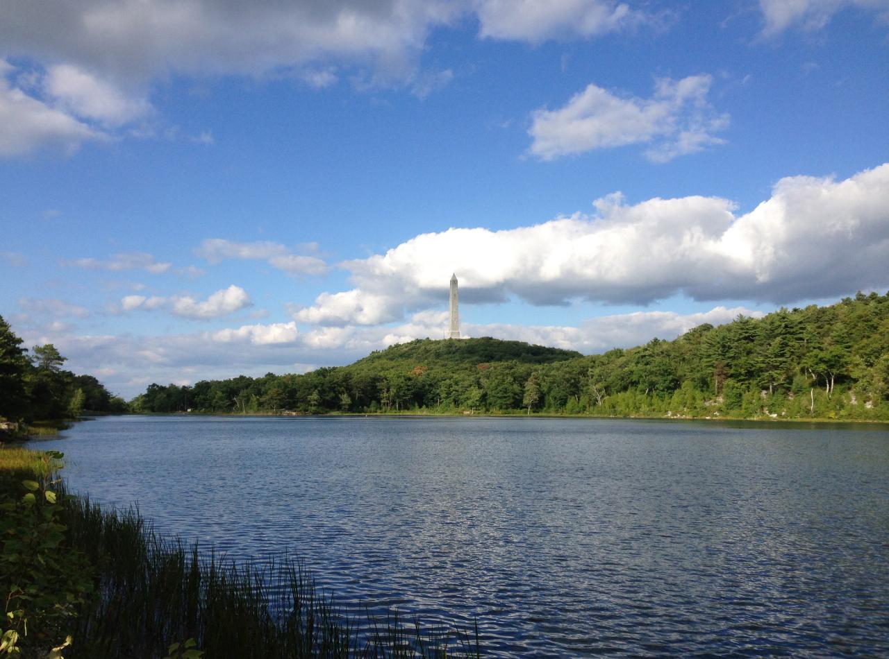
Lake Marcia is the guarded swimming lake in High Point State Park, run by the New Jersey State Park Service (part of the NJ Department of Environmental Protection) in Montague Township, Sussex County. It is a spring-fed lake of about 20 acres sitting near 1,570 feet on the Kittatinny Ridge, just below the obelisk of the High Point Monument, which marks the highest ground in the state at 1,803 feet. The beach and its bathhouse sit on the south shore, and the monument rises over the far end of the water.
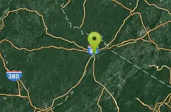
The park entrance and office are on Route 23 between Sussex and Port Jervis, New York. From the entrance, follow the park road north to the Lake Marcia lot, which is a short walk from the sand. During the summer season every vehicle pays a state parking fee: on weekdays $5 for New Jersey plates and $10 for out-of-state plates, and on weekends and holidays $10 and $20. Oversized vehicles pay double, and a New Jersey State Park Pass covers the fee for a full year. From the day after Labor Day until Memorial Day weekend entry is free, but there is no swimming then. The gate opens at 8 a.m. and closes at sunset from April through November.
The swim area is a roped section off a small sand beach. The lake tops out at roughly 14 feet deep, and because it is fed by springs at elevation the water stays noticeably cooler than valley lakes, even in August. Swimming is allowed only from Memorial Day weekend to Labor Day and only while lifeguards are on the stand. Tubes, rafts and other floats are banned; Coast Guard approved life jackets are the only flotation allowed. Pets, ball games and speakers are not permitted on the beach, and no boats of any kind, kayaks and paddleboards included, may go on Lake Marcia.
Check the State Park Service swimming schedule before you drive up. Lifeguard shortages have closed swimming here in some summers. Away from the beach the park has black bears and plenty of ticks, so keep food packed away and check yourself after walking in tall grass. Bears are common enough here that the park asks visitors to report any that act aggressively.
The bathhouse has changing rooms, restrooms, showers and a first-aid station, and a snack stand next to the beach takes cash only, with no ATM on site. Picnic tables next to the beach are first come, first served, and you can bring your own raised grill as long as it stays off the sand. The Monument Trail and the Appalachian Trail both pass close to the lake, and the Cedar Swamp Trail loops 2.5 miles around a bog perched near the top of the mountain. Paddlers launch on Sawmill Lake and Steeny Kill Lake instead, and the park has 50 tent sites along Sawmill Lake plus cabins on Steeny Kill. In winter the cross-country ski center lodge beside Lake Marcia sells trail passes and rentals.
More Information
Get on the water
Milford Beach: Delaware Water Gap National Recreation Area, 150 Milford Beach Rd., Milford, PA
https://www.pikecountycourier.com/features/living-local/get-on-the-water-FK5941575Great Lakes: Where to Make a Splash in NJ | Page 2 of 4
Looking for some freshwater fun? Here’s our take on 20 New Jersey lakes.
https://njmonthly.com/articles/jersey-living/great-lakes-where-to-make-a-splash-in-nj/2/New Jersey's Crystal-Clear Glacial Lake Is A Scenic Swimming Destination With Beach Beauty
Lake Marcia in New Jersey offers clear-water swimming, a sandy beach, mountain hiking, fishing, camping, and sweeping views from High Point State Park.
https://www.islands.com/2240724/lake-marcia-new-jersey-crystal-clear-natural-lake-scenic-swimming-destination-beach-beauty/Take the Plunge at a Local Lake | New Jersey Monthly
Behold, some of the state's best swimming spots.
https://njmonthly.com/?p=269554Where to Get on the Water in Sussex County This Summer
Lake Hopatcong State Park: 260 Lakeside Boulevard, Landing. NJ
https://www.townshipjournal.com/features/living-local/where-to-get-on-the-water-in-sussex-county-this-summer-FM5907124Be courteous, informed, and prepared. Read trailhead guidelines, stay on the trail, and don't feed the wildlife.
Read More
- Plan Ahead and Prepare
- Travel & camp on durable surfaces
- Dispose of waste properly
- Leave what you find
- Minimize campfire impacts
- Respect wildlife
- Be considerate of other visitors
Directions
From Montague
- Head west on Cox Ln toward FM 455 W (0.3 mi)
- Turn right onto FM 455 W (1.8 mi)
- Turn right onto TX-59 N (0.4 mi)
- Continue straight onto TX-175 N (8.5 mi)
- Turn left onto US-82 W (12.4 mi)
- Turn left onto the ramp to US-81 N (0.1 mi)
- Sharp right onto US-81 NPass by Sonic Drive-In (on the left in 40 mi)Entering Oklahoma(46.4 mi)
- Slight right (1.7 mi)
- Continue onto Hwy 7 (1.9 mi)
- Keep left to continue on State Hwy 7 (1.8 mi)
- Continue onto State Hwy 7 (4.9 mi)
- Turn right onto State Hwy 7 E (0.8 mi)
- Turn left onto US-81 NPass by BancFirst (on the right in 4 mi)(30.6 mi)
- Slight right to merge onto I-44 E toward Okla. City/
Turnpike Toll road(35.5 mi) - Merge onto I-44 E (7.3 mi)
- Take the exit to stay on I-44 E toward I-35/
Tulsa/ Wichita (7.3 mi) - Slight left to stay on I-44 E (4.7 mi)
- Take exit 138A for I-44 E toward TulsaToll road(0.4 mi)
- Continue onto I-44 EToll road(87.2 mi)
- Take the I-44 E/
OK-66 E exit toward Joplin (0.3 mi) - Continue onto I-44 E/
OK-66 E (17.0 mi) - Slight left (1.1 mi)
- Merge onto I-44 E (0.1 mi)
- Take the exit to stay on I-44 E toward Joplin/
Turnpike Toll roadEntering Missouri(379 mi) - Merge onto I-44 E/
I-55 N (0.9 mi) - Take exit 291A to merge onto I-55 N/
I-64 E/ US-40 E toward I-70 E/ Illinois Entering Illinois(0.8 mi) - Take exit 1 to merge onto I-55 N/
I-64 E (2.3 mi) - Keep left to continue on I-55 N (16.2 mi)
- Take exit 20A to merge onto I-70 E toward Indianapolis (83.5 mi)
- Keep right to stay on I-70 E, follow signs for IndianapolisEntering Indiana(58.7 mi)
- Keep right to stay on I-70 E (79.5 mi)
- Keep left to stay on I-70 E, follow signs for Dayton/
I-65 N (1.7 mi) - Keep left to stay on I-70 E, follow signs for Dayton (5.9 mi)
- Keep left to stay on I-70 E (59.5 mi)
- Slight left (4.3 mi)
- Merge onto I-70 EEntering Ohio(50.6 mi)
- Keep left to stay on I-70 E (49.1 mi)
- Keep left to continue on I-670 E, follow signs for Airport (4.3 mi)
- Take exit 5A-5B toward Cleveland (0.9 mi)
- Merge onto I-71 N (99.5 mi)
- Take the exit onto I-76 E/
US-224 E toward Akron (18.3 mi) - Keep right to continue on I-76 E, follow signs for Akron (1.9 mi)
- Keep right to stay on I-76 E, follow signs for Akron (3.2 mi)
- Keep left to stay on I-76 E (36.7 mi)
- Keep left to continue on I-80 E (4.4 mi)
- Keep left to stay on I-80 E, follow signs for OH-11 N/
New York City Entering Pennsylvania(272 mi) - Take exit 260B on the left to merge onto I-81 N toward Wilkes-Barre (35.5 mi)
- Take exit 187 to merge onto I-380 S/
I-84 E (4.4 mi) - Keep left to continue on I-84 E, follow signs for MilfordEntering New York(51.1 mi)
- Take exit 1 for NJ-23 toward US-6/
Port Jervis/ Sussex (0.3 mi) - Turn left onto NJ-23 SEntering New Jersey(4.3 mi)
- Turn left (118 ft)
- Turn left (0.6 mi)
- Turn rightDestination will be on the left(269 ft)
 Lake Marcia from the ridge above, with the sand beach and bathhouse on the left shore. courtesy of Zeete↗ (CC BY-SA 3.0↗)
 Swimmers inside the buoy line at Lake Marcia, with the High Point Monument above the lake. courtesy of Beyond My Ken↗ (CC BY-SA 4.0↗)
 Autumn on Lake Marcia, with the beach at right and the monument on the hill. courtesy of Famartin↗ (CC BY-SA 4.0↗)
 Summer afternoon on Lake Marcia looking toward High Point. courtesy of Famartin↗ (CC BY-SA 4.0↗)
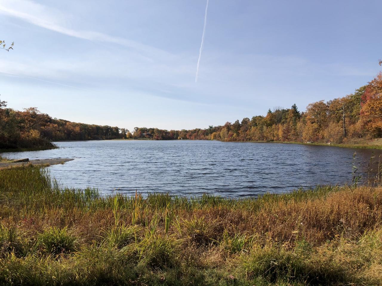
 Looking southwest across Lake Marcia toward the beach end in October. courtesy of Famartin↗ (CC BY-SA 4.0↗)
 Lake Marcia in late fall, looking south from the north shore toward the beach end. courtesy of Federico Pizano↗ (CC BY 3.0↗)
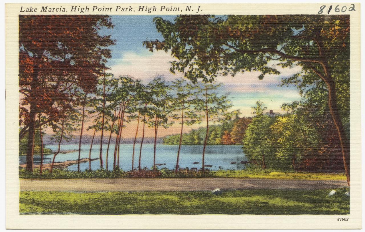
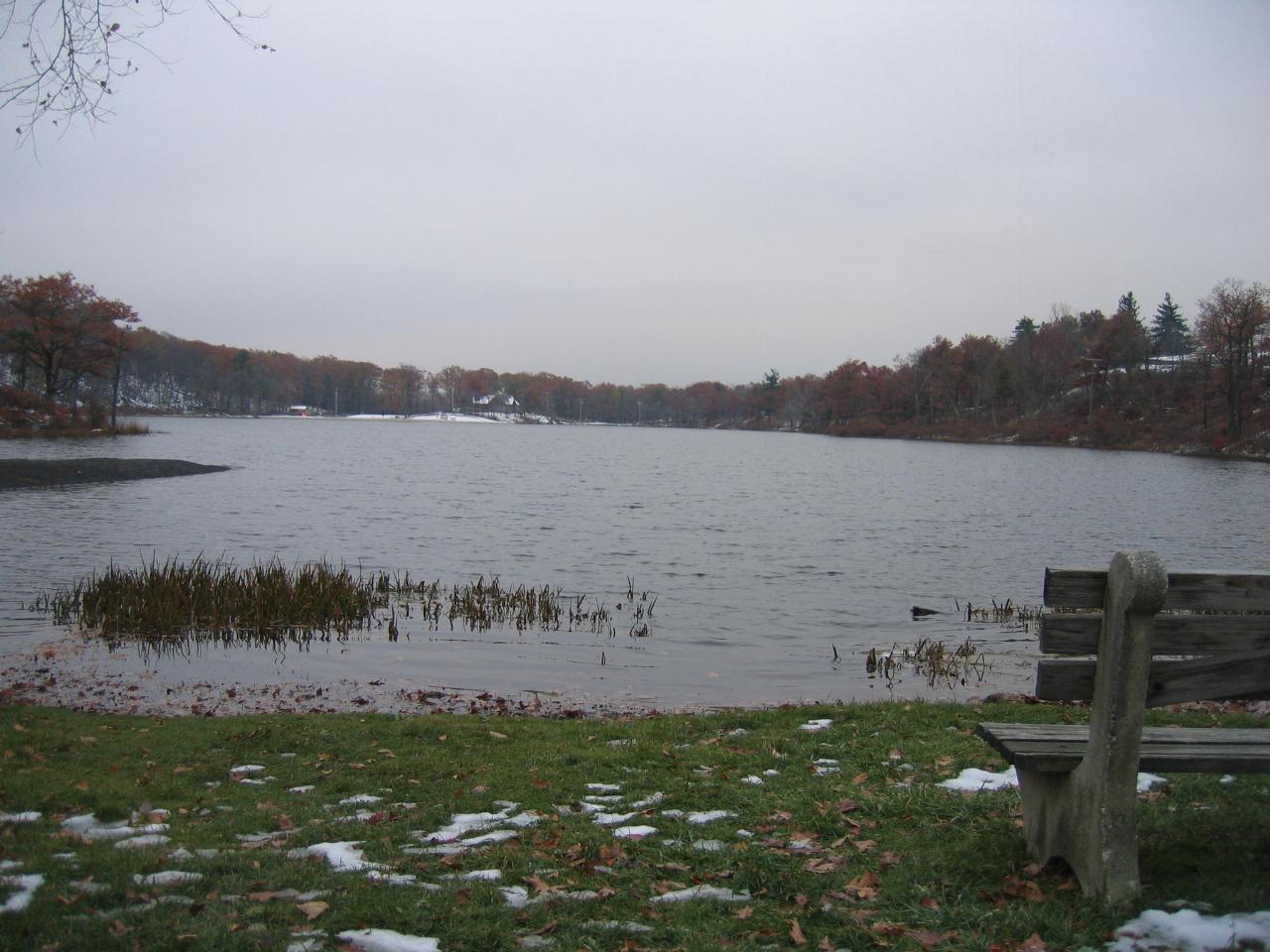 Vintage postcard view of Lake Marcia in High Point Park. courtesy of Boston Public Library↗ (CC BY 2.0↗)
Other Swimming Holes and Hiking Trails Nearby
Milford Area
Greencastle, Pennsylvania
6.8 miles WSwim near Greencastle, Pennsylvania
Swim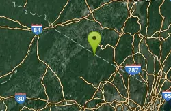
Surprise Lake
West Milford, New Jersey
18.9 miles SESwim near West Milford, New Jersey
Swim
Otter Hole
Bloomingdale, New Jersey
25.1 miles SESwim near Bloomingdale, New Jersey
Swim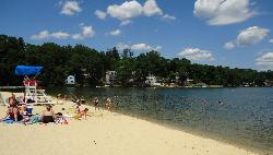
Hopatcong State Park
Landing
27.6 miles SHopatcong State Park holds the largest public beach on Lake Hopatcong, New Jersey's biggest freshwater lake, a long sand crescent and a broad lawn at the outlet the Morris Canal once dammed for its water supply. Lifeguards cover the swim area Wednesday th
Canoe, Hike, Kayak, Swim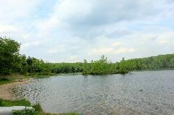
Promised Land Main Beach
Greentown
28.0 miles WPromised Land Main Beach is the larger of two sand beaches at Promised Land State Park, a pale sand shelf on the 422-acre Promised Land Lake in the park's Day Use Picnic Area. It is open daily from late May to mid-September, 8:00 A.M. to sunset, with no l
Camp, Canoe, Hike, Kayak, Swim
Smithfield Beach
Winona Lakes, Pennsylvania
28.2 miles SWA grassy Delaware River beach with swimming (lifeguards seasonal), a boat and canoe launch, and a popular 7-mile float to Delaware Water Gap.
Canoe, Kayak, Swim 0.3 mi
Devil's Well
Hawley, Pennsylvania
28.2 miles NWCLOSED. The Devils Well is located on private property owned by Brookfield Energy. It is fenced and violators car info is taken and forwarded to local police. KEEP OUT!!!. A scenic 3-mile woodland hike to a Pocono swimming hole famous with cliff-jumping daredevils near Hawley.
Dive, Hike, Swim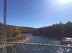
Skinner's Falls Main Beach
Cochecton, New York
31.7 miles NWGravel beach and bedrock ledges on the Delaware River at Skinners Falls, the best known rapid on the Upper Delaware and a long standing swimming and tubing stop.
Canoe, Hike, Kayak, Swim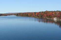
Lake Awosting
Kerhonkson, New York
33.3 miles NELake Awosting is the largest and most remote of the four glittering "sky lakes" strung along the quartz-white cliffs of the Shawangunk Ridge in Minnewaska State Park Preserve, high above the Hudson...
Swim
Red Rock
East Stroudsburg, Pennsylvania
34.0 miles SWCrystal-clear water beneath a 60-ft railroad bridge on Brodhead Creek — with 60- and 80-foot jumping platforms, a rope swing, and calmer spots for a refreshing swim.
Swim 0.3 mi
Stony Kill Falls
Kerhonkson, New York
34.1 miles NEAn 87-foot wispy waterfall hidden in the Shawangunk rocks, with a scenic 1.5-mile hike, pool for wading, colorful cliff textures, and brilliant fall foliage — swimming at your own risk.
Hike, Swim
Washing Machine
Wawarsing, New York
34.6 miles NEA short waterfall swimming hole shaped like a washing machine, with a wide deep forest pool — reach it via Lundy Road off Route 209 and a short walking path; swimmers should keep their distance from the falls itself.
Swim
Buttermilk Falls
Mendham, New Jersey
35.7 miles SSwim near Mendham, New Jersey
Swim
Trestle Bridge
Mount Bethel, Pennsylvania
35.8 miles SWTrestle Bridge is a local Delaware River swimming and jumping spot near Portland, in Upper Mount Bethel Township, Pennsylvania, where the river forms the Pennsylvania-New Jersey line at the southern...
Swim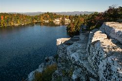
Lake Minnewaska
Kerhonkson, New York
36.1 miles NEA stunning acidic lake with white rock formations and forest reflections, a public gravel beach with swim areas up to 20 feet deep, and a family-friendly summer swim scene.
Swim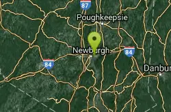
River Pool At Beacon
Beacon, New York
37.7 miles ESwim near Beacon, New York
Swim
Ellenville Holes (Sandbury and Rondout Creek)
Kerhonkson, New York
38.2 miles NEBlue swimming holes on Sandburg and Rondout Creeks along Route 209, easily spotted from the road or tucked further away — a classic warm-weather escape with fishing access too.
Swim
Split Rock Hole
Gardiner, New York
38.3 miles NEA crystal-clear swimming hole in the Mohonk Preserve with a 10-foot chasm, a 12-foot waterfall, a 3-to-8-foot swim area, flat cliff-top picnic space, and a short easy hike in.
Swim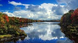
Tobyhanna State Park Beach
Tobyhanna
38.8 miles WA free, unguarded sand beach on 170-acre Tobyhanna Lake, set at 2,000 feet on the Pocono plateau, with a 5.1 mile gravel trail circling the water. Open Memorial Day weekend to mid-September, though a full lake drawdown for dam replacement has been announc
Camp, Canoe, Hike, Kayak, Swim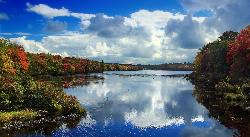
Tobyhanna Lake Beach
Tobyhanna
38.8 miles WA free, tannin-dark swimming beach on 170-acre Tobyhanna Lake in the Poconos, open 8 a.m. to sunset from Memorial Day weekend to mid-September with no lifeguard on duty. The lake will be drained for dam replacement from spring 2027 through the end of 2028
Camp, Canoe, Hike, Kayak, SwimNearby Campsites
Promised Land Main Beach
Greentown
28.0 miles WPromised Land Main Beach is the larger of two sand beaches at Promised Land State Park, a pale sand shelf on the 422-acre Promised Land Lake in the park's Day Use Picnic Area. It is open daily from late May to mid-September, 8:00 A.M. to sunset, with no l
Camp, Canoe, Hike, Kayak, Swim
Tobyhanna State Park Beach
Tobyhanna
38.8 miles WA free, unguarded sand beach on 170-acre Tobyhanna Lake, set at 2,000 feet on the Pocono plateau, with a 5.1 mile gravel trail circling the water. Open Memorial Day weekend to mid-September, though a full lake drawdown for dam replacement has been announc
Camp, Canoe, Hike, Kayak, Swim
Tobyhanna Lake Beach
Tobyhanna
38.8 miles WA free, tannin-dark swimming beach on 170-acre Tobyhanna Lake in the Poconos, open 8 a.m. to sunset from Memorial Day weekend to mid-September with no lifeguard on duty. The lake will be drained for dam replacement from spring 2027 through the end of 2028
Camp, Canoe, Hike, Kayak, Swim


