


Skinner's Falls Main Beach
Cochecton, New York
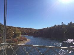
Canoe, Hike, Kayak, and Swim
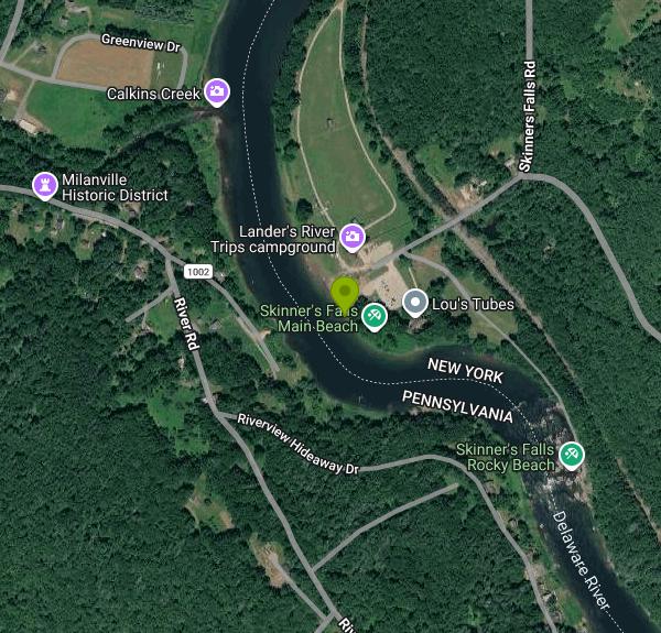
Skinners Falls is not a waterfall. It is a ledge of tilted bedrock that crosses the Delaware River at about river mile 295, dropping the water a few feet through a set of chutes and standing waves that rate Class I to II depending on the gauge. The beach sits on the New York bank just upstream of the drop, a wide shelf of river gravel and flat rock reached from the access road off Milanville Road in the town of Cochecton. People have been stopping here to swim for well over a century, and on a hot Saturday in July the pools above and below the ledge fill with tubers, swimmers and canoe traffic waiting their turn at the rapid.
The falls take their name from Daniel Skinner, a timber rafter who ran the first log raft down the Delaware to Philadelphia in the 1760s and was known afterward as the Lord High Admiral of the Delaware. Rafting crews used this stretch as a marker, and the rapid was one of the places where a badly steered raft came apart. The river here is the state line, New York on the left bank and Pennsylvania on the right, and the whole corridor from Hancock down to Sparrowbush is managed by the National Park Service as the Upper Delaware Scenic and Recreational River.
Swimming works best at low and medium water, roughly from mid-June through September, when the pockets between the ledges hold chest-deep green water over clean rock and the current in the chutes is strong enough to be fun without being dangerous. There are no lifeguards anywhere on the Upper Delaware and no rangers stationed at the beach. The Park Service requires anyone in a boat or tube to have a life jacket, and requires it to be worn from mid-September through mid-May. Check the Callicoon gauge before you go; above about five feet the ledges wash out, the current gets pushy, and the rapid becomes a boater feature rather than a swimming hole. The rock is slick with algae in every season, and the shin-barking edges under the surface are the most common injury here.
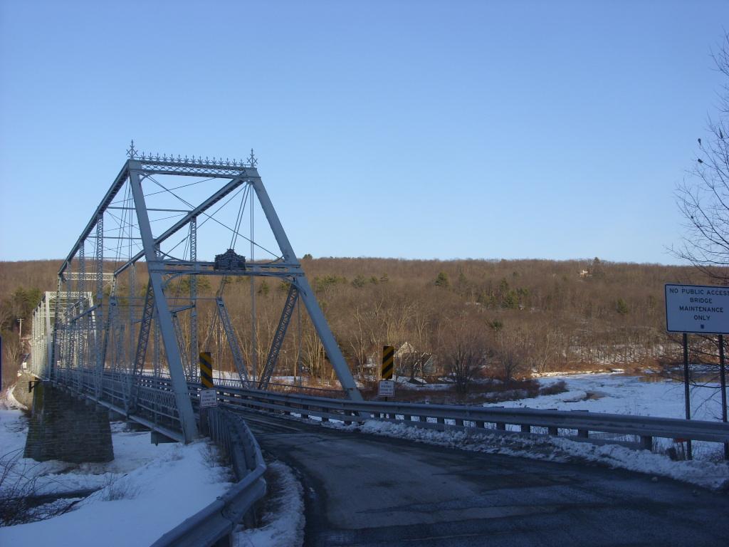
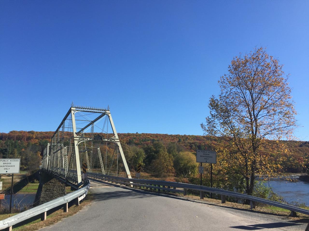
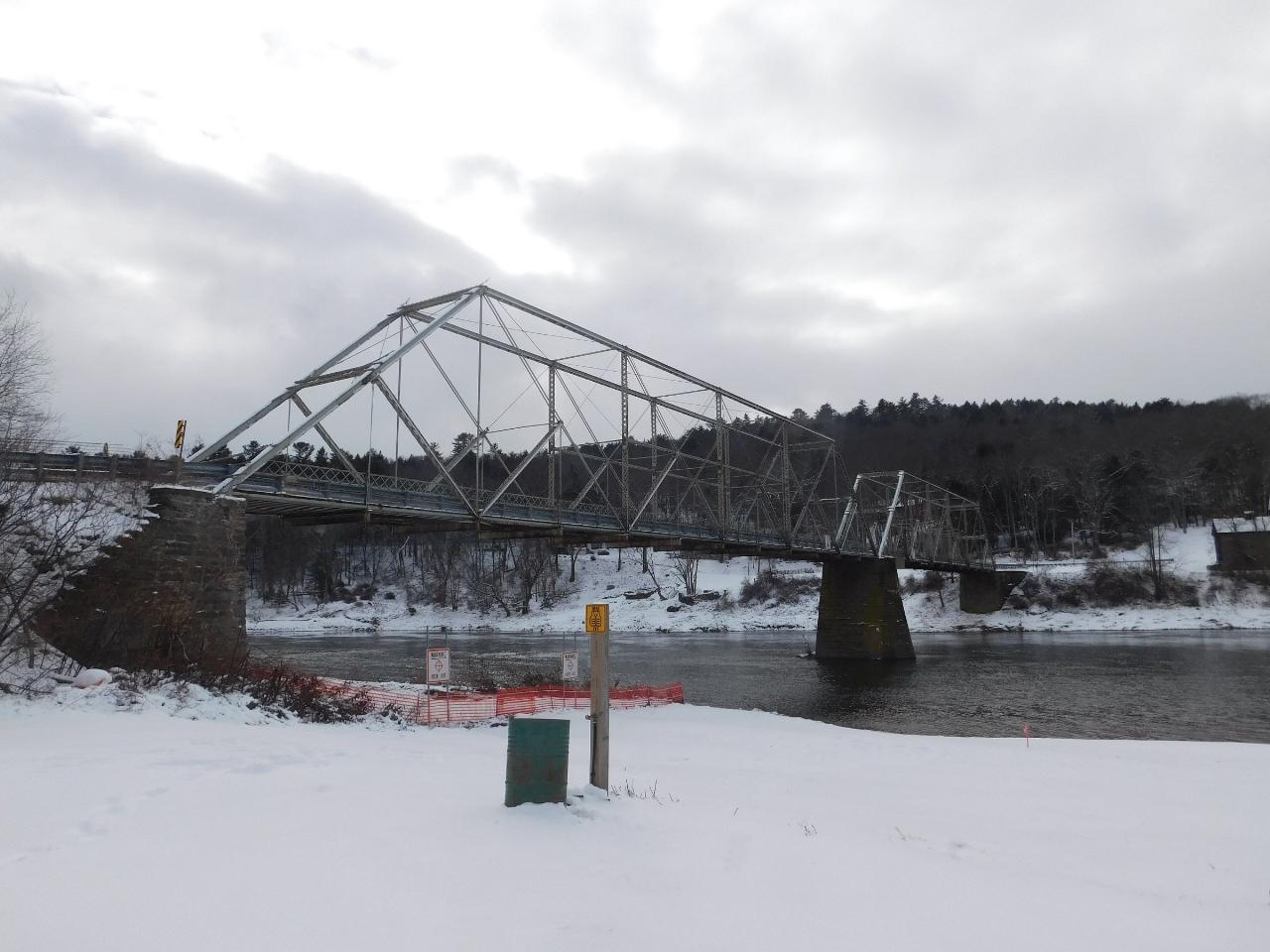
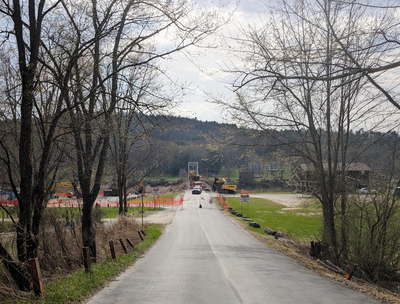
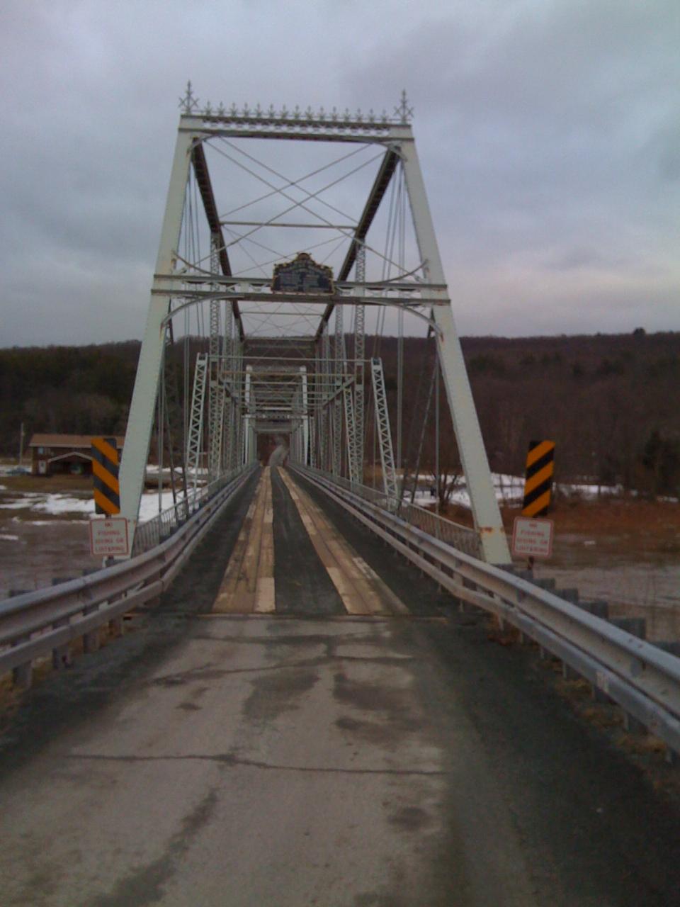
The iron truss bridge that stood beside the beach for more than a hundred years is gone. The Skinners Falls-Milanville Bridge, built in 1901 and carrying traffic between Sullivan County and Wayne County, was closed in October 2019 after inspections found the structure failing, and it was demolished in April 2025. Photographs of the beach taken before that date show the span framing the river; the view now is open water and the abutments.
Access is by a short gravel lane down to a small parking area and a canoe launch, which is also where the liveries running the Narrowsburg to Callicoon stretch put boats in and take them out. There are no services at the beach beyond a portable toilet in season. Lander's campground sits a quarter mile upstream, Narrowsburg with its restaurants and the Delaware Valley Arts Alliance is six miles south, and the Zane Grey Museum and the Roebling Aqueduct, the oldest wire suspension bridge in the country, are further downriver.
More Information
Be courteous, informed, and prepared. Read trailhead guidelines, stay on the trail, and don't feed the wildlife.
Read More
- Plan Ahead and Prepare
- Travel & camp on durable surfaces
- Dispose of waste properly
- Leave what you find
- Minimize campfire impacts
- Respect wildlife
- Be considerate of other visitors
Directions
From Cochecton, New York
- Head southeast on Cochecton Rd toward My Place Rd (0.5 mi)
- Turn left to stay on Cochecton Rd (305 ft)
- Slight right onto NY-97 S (1.6 mi)
- Keep right to continue on Skinners Falls Rd (0.5 mi)
- Continue straight onto Skinners Fls Rd W (0.2 mi)
- Turn left (66 ft)
- Turn right (180 ft)
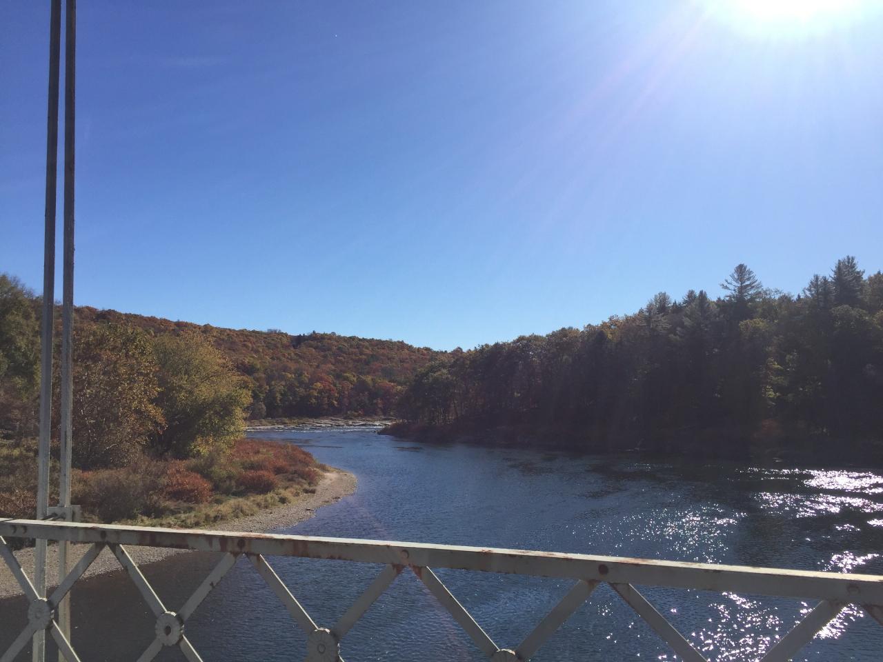
 The Delaware River at Skinners Falls seen through the truss of the Milanville bridge in autumn courtesy of Kether83↗ (CC BY-SA 4.0↗)
 The approach to the Skinners Falls-Milanville bridge in winter courtesy of Doug Kerr from now in Binghamton, NY↗ (CC BY-SA 2.0↗)
 The Skinners Falls-Milanville bridge in October 2015, before its closure courtesy of Kether83↗ (CC BY-SA 4.0↗)
 The river at the falls under snow in December 2024 courtesy of Adam Moss↗ (CC BY-SA 2.0↗)
 The road approach during the bridge demolition in April 2025 courtesy of Mr. Matté (if there is an issue with this image, contact me using this image's Commons talk page, my↗ (CC BY-SA 4.0↗)
 Looking along the deck of the old bridge toward the Pennsylvania bank courtesy of Bumppoman (talk).↗ (CC BY-SA 3.0↗)
Other Swimming Holes, Hiking Trails, Canoeing Areas, and Kayaking Areas Nearby

Devil's Well
Hawley, Pennsylvania
14.8 miles SWCLOSED. The Devils Well is located on private property owned by Brookfield Energy. It is fenced and violators car info is taken and forwarded to local police. KEEP OUT!!!. A scenic 3-mile woodland hike to a Pocono swimming hole famous with cliff-jumping daredevils near Hawley.
Dive, Hike, Swim
Roscoe Area
Rock Stream, New York
19.6 miles NSwim near Rock Stream, New York
Swim
Milford Area
Greencastle, Pennsylvania
28.3 miles SESwim near Greencastle, Pennsylvania
Swim
Roaring Brook
Dunmore, Pennsylvania
33.4 miles SWA beautiful and remote swimming hole between two reservoirs, with many pools up and down the creek — slippery moss on the rocks, rugged 4WD access required, and pack out all your trash.
Swim
Washing Machine
Wawarsing, New York
36.4 miles EA short waterfall swimming hole shaped like a washing machine, with a wide deep forest pool — reach it via Lundy Road off Route 209 and a short walking path; swimmers should keep their distance from the falls itself.
Swim 0.3 mi
Stony Kill Falls
Kerhonkson, New York
39.2 miles EAn 87-foot wispy waterfall hidden in the Shawangunk rocks, with a scenic 1.5-mile hike, pool for wading, colorful cliff textures, and brilliant fall foliage — swimming at your own risk.
Hike, Swim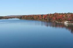
Lake Awosting
Kerhonkson, New York
40.0 miles ELake Awosting is the largest and most remote of the four glittering "sky lakes" strung along the quartz-white cliffs of the Shawangunk Ridge in Minnewaska State Park Preserve, high above the Hudson...
Swim 1.0 mi
Little Rocky Glen
Factoryville, Pennsylvania
40.9 miles WA beautiful gorge with waterfalls, pools, and hemlock-lined walls winds through this 59-acre Lackawanna County preserve on Little Rocky Glen Creek — great for fit hikers.
Hike
Ellenville Holes (Sandbury and Rondout Creek)
Kerhonkson, New York
41.3 miles EBlue swimming holes on Sandburg and Rondout Creeks along Route 209, easily spotted from the road or tucked further away — a classic warm-weather escape with fishing access too.
Swim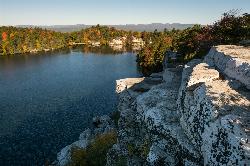
Lake Minnewaska
Kerhonkson, New York
42.5 miles EA stunning acidic lake with white rock formations and forest reflections, a public gravel beach with swim areas up to 20 feet deep, and a family-friendly summer swim scene.
Swim
Red Rock
East Stroudsburg, Pennsylvania
43.4 miles SCrystal-clear water beneath a 60-ft railroad bridge on Brodhead Creek — with 60- and 80-foot jumping platforms, a rope swing, and calmer spots for a refreshing swim.
Swim
Smithfield Beach
Winona Lakes, Pennsylvania
44.2 miles SA grassy Delaware River beach with swimming (lifeguards seasonal), a boat and canoe launch, and a popular 7-mile float to Delaware Water Gap.
Canoe, Kayak, Swim
Split Rock Hole
Gardiner, New York
44.7 miles EA crystal-clear swimming hole in the Mohonk Preserve with a 10-foot chasm, a 12-foot waterfall, a 3-to-8-foot swim area, flat cliff-top picnic space, and a short easy hike in.
Swim
Phoenicia Area
Copake Falls, New York
47.5 miles NESwim near Copake Falls, New York
Swim
Surprise Lake
West Milford, New Jersey
49.8 miles SESwim near West Milford, New Jersey
Swim


