


Mud Volcano
Lake Village, Yellowstone National Park
| GPS: |
44°37'29.7"N 110°25'58.1"W Maps | Directions |
| State: | Wyoming |
Hike
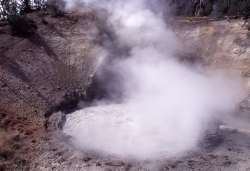
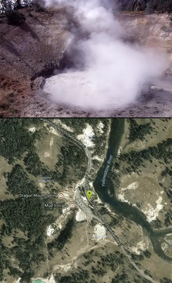
Mud Volcano is one of Yellowstone National Park's most fascinating — and most pungent — hydrothermal areas, tucked along the Grand Loop Road in the Hayden Valley region between Yellowstone Lake and Canyon. Unlike the park's colorful hot springs, this is a moody, acidic landscape of bubbling mud pots, hissing fumaroles, and churning caldrons that gurgle and belch in a haze of sulfur, a vivid reminder of the restless volcano beneath your feet.
In 1870 Mud Volcano had a cone-shaped mud deposit that covered the feature; by 1872 a thermal explosion had blown that mud away to reveal what we see today. A boardwalk loop of roughly two-thirds of a mile (with some stairs and hills) tours the area's memorable features, including Dragon's Mouth Spring — a cavern that surges and roars like a beast — along with Churning Caldron, Black Dragon's Caldron, Sour Lake, and Sizzling Basin. This is one of the most acidic hydrothermal areas in the park, so the strong rotten-egg smell of hydrogen sulfide is part of the experience.
The area is easy to reach and free to visit as part of park admission, and it's a quick, rewarding stop between Yellowstone Lake and the Grand Canyon of the Yellowstone. Bison frequently graze and rest nearby — give them a very wide berth (at least 25 yards), as they are wild and dangerous.
Stay on the boardwalk at all times. The ground here is a thin, fragile crust over near-boiling, acidic water, and leaving the trail is both illegal and potentially fatal. The area is open year-round, though the road is closed to regular vehicles in winter (accessible by snowcoach or ski). Bring your camera and a tolerance for sulfur, and enjoy one of Yellowstone's wildest geological showcases.
More Information
Yellowstone National Park Itinerary
This Yellowstone National Park Itinerary will help you get started as you plan your vacation to Yellowstone National Park.
https://www.justgotravelstudios.com/collections/national-park-itineraries/products/yellowstone-national-park-itinerary?ref=9zpxis0diinBackcountry Conditions - Yellowstone National Park (U.S. National Park Service)
This page provides a map and details conditions of trail status, closures, and known hazards.
https://www.nps.gov/yell/planyourvisit/situationreport.htmMud Volcano in Yellowstone National Park - AllTrips
See and learn about Mud Volcano in Yellowstone National Park. Discover Yellowstone's top geothermal features, and make travel plans.
https://www.yellowstoneparknet.com/geothermal_features/mud_volcano.phpYellowstone's Mud Volcano Thermal Area - National Parked
An overview of the thermal features found in the Mud Volcano area of Yellowstone National Park in Wyoming and Montana. Includes photos and more.
https://www.nationalparked.com/yellowstone/thermal-areas/mud-volcanoBe courteous, informed, and prepared. Read trailhead guidelines, stay on the trail, and don't feed the wildlife.
Read More
- Plan Ahead and Prepare
- Travel & camp on durable surfaces
- Dispose of waste properly
- Leave what you find
- Minimize campfire impacts
- Respect wildlife
- Be considerate of other visitors
Directions
From Lake Village, Yellowstone National Park
- Head south (138 ft)
- Turn rightMay be closed at certain times or days(0.8 mi)
- Turn right onto Hwy 20 EParts of this road may be closed at certain times or days(1.6 mi)
- Continue straight onto Grand Loop RdToll roadParts of this road may be closed at certain times or daysDestination will be on the left(5.8 mi)
The Mud Volcano is located north of Yellowstone Lake on the way to Hayden Valley. From Fishing Bridge, head north on the Grand Loop Road towards Canyon Village. The Mud Volcano turnout will be on your left.


Other Hiking Trails Nearby
Elephant Back Mountain Trail
Lake Village, Yellowstone National Park
4.9 miles SA 3-mile loop trail climbing 800 feet to a stunning overlook of Yellowstone Lake near Lake Village — a moderate hike open in summer and fall.
Hike 0.6 mi
Pelican Creek Nature Trail
Lake Village, Yellowstone National Park
5.6 miles SEA short 0.6-mile loop past streams, forest, and the vast expanse of Yellowstone Lake — spot pelicans, grebes, and teals on this family-friendly walk.
Hike 2.3 mi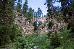
Natural Bridge Trail
Lake Village, Yellowstone National Park
6.5 miles SAn easy 2-mile trail through forests and meadows to a bridge carved by a creek wearing through rhyolite — best views come from hiking around to the back of the arch.
Hike, Mountain Bike 1.4-2.6 mi
Ribbon Lake Trail
Canyon Village, Yellowstone National Park
6.6 miles NWA gentle 6-mile trail through Yellowstone meadows past Clear Lake's thermal blue-green waters, lily-padded Ribbon Lake, and Grand Canyon overlooks — with bison and bears en route.
Hike 7.4 mi
Pelican Valley Trail
Lake Village, Yellowstone National Park
6.9 miles SEA flat, easy 6.2-mile hike through forest, over bridges, and into Pelican Valley's marshy winding creek — some of the best grizzly bear country in Yellowstone, open July 4 through fall, daylight hours only.
Hike 2.1 mi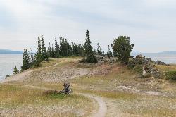
Storm Point Trail
Lake Village, Yellowstone National Park
6.9 miles SEAn easy 2.3-mile family hike along the shores of Yellowstone Lake and Indian Pond to a rocky, windy overlook — open in summer and fall, closed in winter and during high bear activity.
Hike 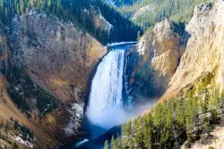
Lower Falls of the Yellowstone
Canyon Village, Yellowstone National Park
7.3 miles NWAt 308 feet, the tallest waterfall in Yellowstone National Park towers over the iconic yellow canyon walls — taller than Niagara Falls, with multiple viewpoints and trails accessible even in winter.
Hike 9.0 mi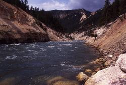
Seven Mile Hole Trail
Canyon Village, Yellowstone National Park
7.4 miles NA challenging 10-mile hike along the Grand Canyon of Yellowstone rim, then a 1,000-foot descent into the canyon for up-close Yellowstone River views and active hot spring sightings.
Hike 18.2 mi
Howard Eaton Trail
Canyon Village, Yellowstone National Park
8.4 miles NWA 10-mile Yellowstone trail passing Cascade Lake, Grebe Lake, and Wolf Lake through forests and meadows — fish any of the lakes with a valid permit, or hike the full 20-mile out-and-back.
Hike 2.9 mi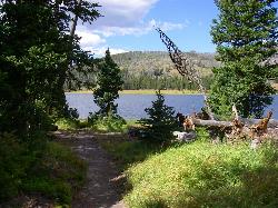
Grebe Lake Trail
Canyon Village, Yellowstone National Park
8.6 miles NWAn easy 6-mile Yellowstone round trip on a converted fire road to Grebe Lake — with elk, wildflowers, burned forest regeneration, and fishing allowed on the lake at trail's end.
Hike 2.4 mi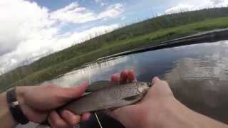
Cascade Lake Trail
Canyon Village, Yellowstone National Park
9.2 miles NAn easy, well-marked 4.5-mile out-and-back hike through meadows and forest to Cascade Lake near Canyon Village, with wildflowers in summer and frequent wildlife sightings year-round.
Hike 7.6 mi
Observation Peak Trail
Canyon Village, Yellowstone National Park
9.2 miles NA nearly 10-mile Yellowstone hike that eases through meadows and past beautiful Cascade Lake before a strenuous 1,400-foot climb to a spectacular panoramic peak.
Hike 3.4 mi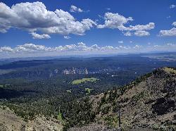
Dunraven Pass - Mount Washburn Trail
Canyon Village, Yellowstone National Park
11.1 miles NA 6-mile Yellowstone hike via Dunraven Pass through quiet forests to the summit of Mount Washburn — a panoramic perch with bighorn sheep in summer and grizzlies near pine nuts in fall.
Hike 0.8-3.8 mi
Little Gibbon Falls
Norris, Yellowstone National Park
11.3 miles NWA family-friendly 4.5-mile Yellowstone loop reaches fishing and swimming spots along Gibbon Creek, with kid-safe trail, canoeing options, and bearspray-worthy backcountry feel.
Camp, Canoe, Hike 
Ice Lake Trail
Norris, Yellowstone National Park
11.7 miles NWA short, peaceful trail through forest regrown after the 1988 Yellowstone fires, leading to a pretty, tree-lined lake with young lodgepole pines thriving all around.
Hike 16.3 mi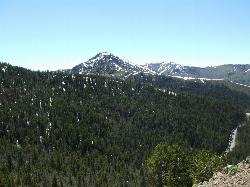
Mount Washburn Spur Trail
Canyon Village, Yellowstone National Park
11.9 miles NAn 8-mile descent from the peak of Mount Washburn through bighorn sheep country, wildflower meadows, and forests to Canyon Village — with sweeping Grand Canyon of Yellowstone views from the top.
Hike 4.4 mi
Chittenden Road - Mount Washburn Trail
Canyon Village, Yellowstone National Park
12.0 miles NA steady, well-packed 5.8-mile out-and-back on the former Chittenden service road to Mount Washburn's summit, with bighorn sheep, wildflowers, and sweeping Yellowstone views at the top.
Hike 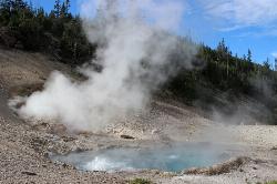
Beryl Spring / Emerald Spring
Norris, Yellowstone National Park
15.8 miles WOne of Yellowstone's hottest thermal features, right off the Grand Loop Road — the water exceeds boiling point, making this a stunning roadside look-don't-touch volcanic wonder.
Hike 0.5 mi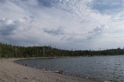
Duck Lake
Grant Village, Yellowstone National Park
16.0 miles SWA short 0.8-mile hike through lodgepole pine in Yellowstone near West Thumb, revealing the fire history of 1988 and a quiet, calm lake with a sandy beach feel.
Hike 0.4 mi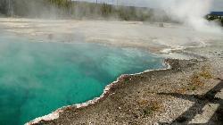
West Thumb Geyser Basin
Grant Visitor's Center, Yellowstone National Park
16.0 miles SWBoardwalks trace the edge of Yellowstone Lake at the scenic West Thumb Geyser Basin — hot springs, mud pots, fumaroles, lake shore geysers, and underwater vents in one compact visit.
HikeNearby Campsites

Fishing Bridge RV Campground
Lake Village, Yellowstone National Park
5.3 miles SEAn RV campground near the mouth of the Yellowstone River where visitors can watch White Pelicans, waterfowl, and trout from the historic Fishing Bridge — fishing from the bridge is no longer permitted.
Camp 
Bridge Bay
Lake Village, Yellowstone National Park
6.3 miles SA scenic campground on the western shore of Yellowstone Lake at 7,800 feet — wooded upper loops, open meadows, and a nearby marina store, though far from the park's main dining hubs.
Camp 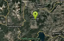
Canyon Campground
Canyon Junction, Yellowstone National Park
8.1 miles NA popular Yellowstone campground of 300-plus sites just minutes from the Grand Canyon of the Yellowstone and the Upper and Lower Falls, with hiking trails and North Rim Drive access right from camp.
Camp 0.8-3.8 mi
Little Gibbon Falls
Norris, Yellowstone National Park
11.3 miles NWA family-friendly 4.5-mile Yellowstone loop reaches fishing and swimming spots along Gibbon Creek, with kid-safe trail, canoeing options, and bearspray-worthy backcountry feel.
Camp, Canoe, Hike 
Norris Campground
Norris, Yellowstone National Park
15.1 miles NWCentrally located in Yellowstone NP, this campground puts you within a short drive of Grand Canyon of the Yellowstone, Hayden Valley, Old Faithful, and Yellowstone Lake.
Camp 
Grant Village
Grant Village, Yellowstone National Park
17.2 miles SNamed for President Grant near Yellowstone Lake's West Thumb, this village has lakeside dining, a geyser basin next door, campfire ranger programs, and tree-lined campsites steps from the water.
Camp, Canoe, Kayak 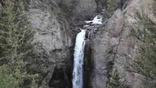
Tower Falls
Tower Junction, Yellowstone National Park
18.6 miles NTower Fall plunges 132 feet off Tower Creek in Yellowstone, framed by dramatic rock pinnacles — located about 3 miles south of Roosevelt Junction.
Camp, Hike 
Madison Campground
Madison, Yellowstone National Park
21.4 miles WA partly wooded riverside campground at 6,800 feet in Yellowstone, close to Old Faithful and the geyser basins, with great fishing on the Madison River and 270-plus individual sites.
Camp 
Hellroaring Creek Trail
Yellowstone National Park
22.4 miles NA suspension bridge over the Yellowstone River leads to sandy creek-side beaches and a mild backcountry trail past Yellowstone's largest granite slab — great for all ages.
Camp, Hike, Swim 6.9 mi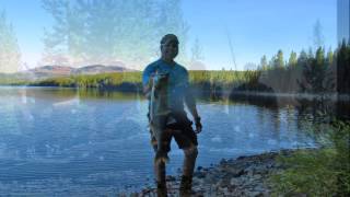
Heart Lake Trail
Grant Village, Yellowstone National Park
22.8 miles SAn 8-mile moderate hike to a remote backcountry lake with blue thermal pools, fumaroles, Rustic Geyser, and remarkable fishing for native cutthroat, mountain whitefish, and Arctic grayling.
Backpack, Camp, Hike, Hot Springs 
Indian Creek Campground Yellowstone
Mammoth Hot Springs, Yellowstone National Park
23.0 miles NWIndian Creek Campground is a quiet, wooded, tent-friendly Yellowstone campground near Mammoth Hot Springs, big on wildlife and peace.
Camp 
Slough Creek Campground
Tower Junction, Yellowstone National Park
23.2 miles NA small, popular Yellowstone campground right on Slough Creek where wolf packs are frequently spotted — sites fill fast, so arrive early.
Camp 
Pebble Creek Campground
Northeast Entrance, Yellowstone National Park
25.5 miles NEA quiet campground tucked in Yellowstone's far northeast corner near Trout Lake and world-class Lamar and Soda Butte trout rivers — arrive before 11 a.m. to secure a spot.
Camp 0.1 mi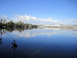
Lewis Lake Campground
Grant Village, Yellowstone National Park
25.6 miles SYellowstone's third-largest lake draws canoeists, kayakers, and serious anglers, with a quiet campground open mid-June through early November on a first-come basis.
Camp, Canoe, Kayak 14.8 mi
Biscuit Basin to Fairy Falls and Firehole Meadows
Old Faithful, Yellowstone National Park
26.3 miles WA nearly 15-mile backcountry hike starting at Biscuit Basin passes turquoise pools, a 70-foot waterfall, Firehole Meadows, Imperial Geyser, and three stunning blue lakes with rust-red shores.
Backpack, Camp, Hike 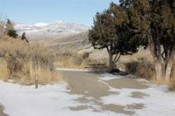
Mammoth Hot Springs Campground
Mammoth Hot Springs, Yellowstone National Park
27.4 miles NWThe only year-round campground in Yellowstone, with 85 first-come sites at 5 miles from the North Entrance, walking distance to the famous Mammoth Hot Springs Terraces and nearby hiking and fishing.
Camp 0.1-5.3 mi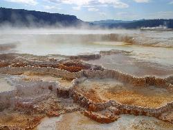
Mammoth Hot Springs
Mammoth, Yellowstone National Park
27.5 miles NWColorful limestone terraces covered in glistening hot-spring water, a 1-mile boardwalk with 300 feet of elevation, elk in the parking lot, and an easy family-friendly loop — Yellowstone's showiest geology.
Camp, Hike 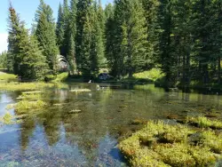
Big Springs
Island Park, Idaho
41.5 miles WA Big Springs campground shaded by Lodgepole Pines on Henry's Fork — with a 1-mile interpretive trail, fish feeding under the bridge, the historic Johnny Sack Cabin, and access to the Mesa Falls Scenic Byway.
Camp, Hike 
Cave Falls of Yellowstone
Ashton, Idaho
43.6 miles SWA campground right on the Fall River along Yellowstone's south boundary puts you steps from legendary fishing, with fire rings and bear-proof boxes at each site.
Camp, Hike 
Loon Lake
Ashton, Idaho
43.7 miles SWLoon Lake is a small, lively mountain lake tucked into the Caribou-Targhee National Forest just off Ashton's Fish Creek Road, in the timbered high country of eastern Idaho near the gateway to...
Camp, Kayak, Swim


