


Lion Lake
Hungry Horse
Canoe, Kayak, and Swim
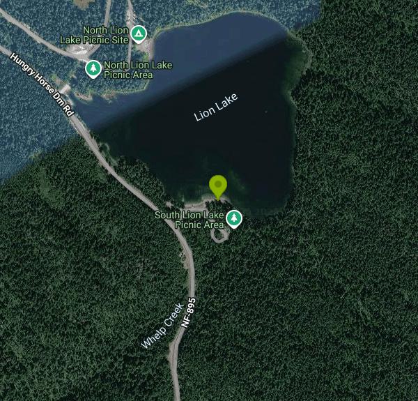
Lion Lake is a small reservoir of about 39 acres on the Flathead National Forest, managed by the Hungry Horse-Glacier View Ranger District, a couple of kilometers south of the town of Hungry Horse. It sits in timber between town and Hungry Horse Dam. The Bureau of Reclamation built its earthen dam in the late 1940s to supply water to the government camp that housed workers building Hungry Horse Dam, and the dam was later handed to the Forest Service. The Forest Service runs two day-use areas on the shore, North Lion Lake Picnic Site and South Lion Lake Picnic Site, and lists swimming at both.
To get there, leave US Highway 2 in Hungry Horse and follow Hungry Horse Dam Road (the West Side Road) south toward the dam. The turnoffs for Lion Lake come up after a short drive, well before you reach the reservoir. The north site is at the northwest end of the lake near a small dike and has two free parking lots. The south site is at the opposite end beside the main dam, with paved access, picnic tables and an accessible vault toilet. This listing is pinned at the south site, but the water and the rules are the same at both.
Swimming is off the shore from the picnic areas. There is no designated buoyed beach on record and no lifeguards; the Flathead National Forest says plainly that none of its sites are guarded. The lake is small and ringed by forest, so it is usually sheltered from wind, but it is fed by mountain country and the water stays cold well into early summer. Plan on swimming from July through early September and keep children within arm's reach, since there is no roped shallow area. The Forest Service lists non-motorized boating at both sites, so a canoe, kayak or paddleboard is a good way to reach quieter parts of the shoreline.
Both sites are free. The Forest Service lists them as day use only, open sunrise to sunset, with no fee and no camping. Each has a vault toilet, but there is no potable water at either one, so bring your own drinking water. For current conditions, call the Hungry Horse-Glacier View Ranger Station at 406-387-3800, which is open weekdays from 8:00 a.m. to 4:30 p.m.
Know a few things before you go. Leakage was found in the old dam, and the Forest Service held the lake about 3 feet below normal while it studied the problem and then repaired the outlet works and earthen embankment; that project is now listed as completed, and the ranger station is the place to ask if the water level looks off. Black bears are seen along the West Side Road right by the lake, so keep food in your vehicle when you are away from your table. The water is shared with anglers, so watch for fishing lines near the shore.
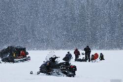
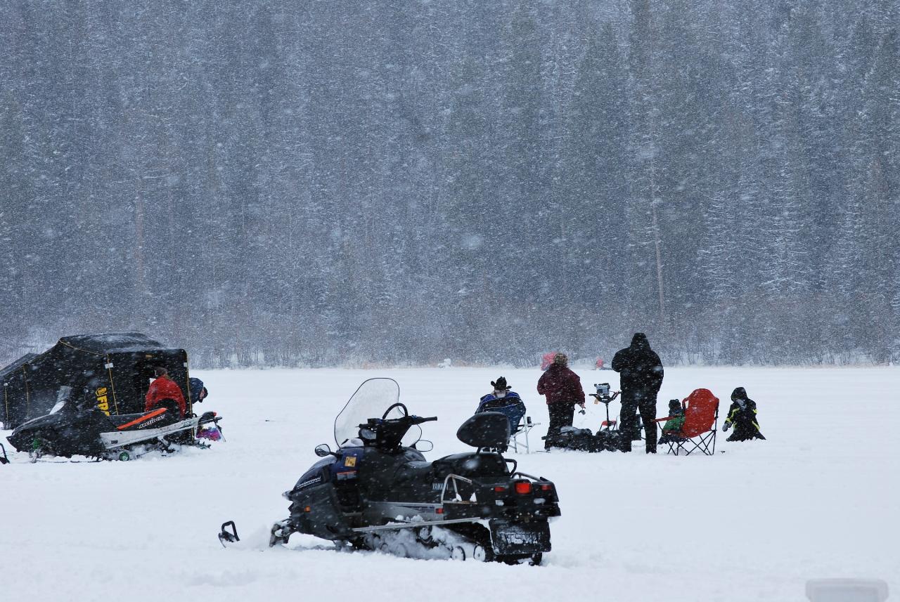
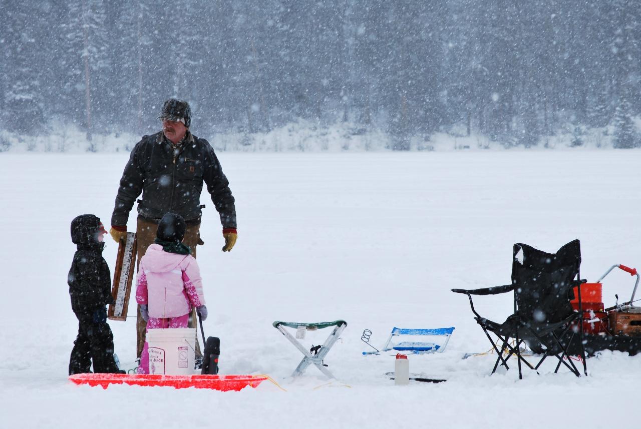
Fishing is the other big draw. The lake is stocked with rainbow trout and is known as a good place for kids to catch their first fish, and anglers also report yellow perch, northern pike, largemouth bass and crappie. In winter the lake freezes and hosts a family ice-fishing derby under a Forest Service permit. Footpaths run along parts of the shoreline from both picnic areas, and Hungry Horse Dam, its visitor center and the campgrounds on Hungry Horse Reservoir are a few minutes farther up the road.
More Information
Dam repairs planned for Lion Lake | Bigfork Eagle
The Flathead National Forest is preparing to make improvements to the Lion Lake dam located near Hungry Horse. The water level will be lowered three feet over the next several weeks so that additional studies can occur and to prepare for improvements.
https://bigforkeagle.com/news/2019/aug/27/dam-repairs-planned-for-lion-lake-15/Flathead National Forest | North Lion Lake Picnic Site | Forest Service
An official website of the United States government
https://www.fs.usda.gov/r01/flathead/recreation/north-lion-lake-picnic-siteFlathead National Forest | Picnicking | Forest Service
There are many day use areas in our developed campgrounds that have picnic tables for your use. Some of the more popular fee sites include Tally lake Campground, Swan Lake Day Use, many sites along the Hungry Horse Reservoir and Big Creek Day Use area. There are also smaller free sites in more remote areas such as the Spotted Bear Ranger Station, Holbrook Overlook, Bear Dance, Red Meadow Lake, Moose Lake, and Ashley Lake sites.
https://www.fs.usda.gov/r01/flathead/recreation/opportunities/picnickingFlathead National Forest | Project Summary (#59597) | Forest Service
Leakage and declining integrity of the primary dam at Lion Lake was discovered. This project proposes repairing Lion Lake Dam.
https://www.fs.usda.gov/r01/flathead/projects/59597Flathead National Forest | South Lion Lake Picnic Site | Forest Service
An official website of the United States government
https://www.fs.usda.gov/r01/flathead/recreation/south-lion-lake-picnic-siteFlathead National Forest | Water Activities | Forest Service
The Flathead National Forest offers a multitude of recreational opportunities on the water. If your taste for adventure is wet, check out our wide range of great locations!LakesLarger lakes that offer a variety of water activities include Holland Lake, Swan Lake, Lindbergh Lake, the Hungry Horse Reservoir, Tally Lake, Upper Stillwater Lake, and Big Salmon Lake in the Bob Marshall Wilderness. Many lakes have boat launches, docks, and camping near-by.
https://www.fs.usda.gov/r01/flathead/recreation/opportunities/water-activitiesPlaces: Hungry Horse Dam and Reservoir - Flathead Beacon
During your travels this summer, park the car and take a walk across the highest dam in Montana. The Hungry Horse Dam, completed in 1953, is an immense concrete structure towering 564 feet and has a crest length of 2,115 feet, making it one of the largest dams in the United States. The dam project […]
https://flatheadbeacon.com/2010/06/05/places-hungry-horse-dam-and-reservoir/
- Plan Ahead and Prepare
- Travel & camp on durable surfaces
- Dispose of waste properly
- Leave what you find
- Minimize campfire impacts
- Respect wildlife
- Be considerate of other visitors
Directions
From Hungry Horse
- Head east on Hwy 2 E/
Montana Scenic Loop toward Flathead Rd (0.4 mi) - Turn right onto Hungry Horse Dm Rd/
NF-895/ West Side Rd (1.6 mi) - Turn left onto Lion Lake Campground RdDestination will be on the left(312 ft)



Other Swimming Holes, Canoeing Areas, and Kayaking Areas Nearby
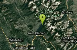
Glacier National Park
West Glacier, Montana
18.8 miles NESwim near West Glacier, Montana
Swim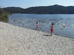
Tally Lake
Whitefish
25.4 miles WBuoyed gravel swim beach and big lawn at Tally Lake Campground on Montana's deepest natural lake, west of Whitefish in the Flathead National Forest. Day use is $6 per vehicle.
Camp, Canoe, Hike, Kayak, Swim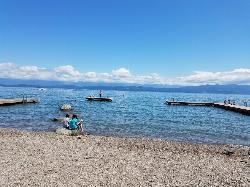
Volunteer Park
Lakeside, Montana
25.7 miles SVolunteer Park is the beloved community swimming spot in Lakeside, Montana, tucked right into the heart of town on the northwest shore of Flathead Lake, about 12 miles south of Kalispell. It's a...
Dive, Swim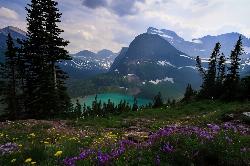
Grinnell Lake
Many Glacier, Glacier National Park
31.3 miles NEA 7.5-mile round-trip hike along glacier-fed subalpine lakes to a turquoise glacial lake in Glacier National Park — with a waterfall along the way and an optional ferry across Lake Josephine.
Hike, Swim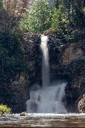
Running Eagle Falls
East Glacier Park
32.4 miles ERunning Eagle Falls, the waterfall older maps call Trick Falls, is a level 0.3 mile walk off the Two Medicine Road in Glacier National Park, wheelchair accessible to a viewing area. Two outlets run in spring, one over the cliff top and one straight out of
Hike, Swim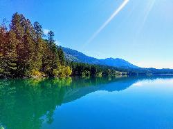
South Dickey Lake Picnic Area
Trego
42.6 miles NWA free Forest Service beach on Dickey Lake near Trego, Montana, where a grassy lawn slopes into a deep, clear lake. Open 10 a.m. to 10 p.m. in season, no lifeguard.
Camp, Canoe, Hike, Kayak, Swim
Riverside Park
Polson, Montana
47.1 miles SSwim near Polson, Montana
SwimNearby Campsites
Apgar Campground
Apgar Village, Glacier National Park
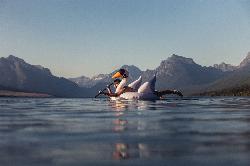
11.0 miles NCampsites on the shores of Lake McDonald within Glacier National Park, with easy access to the Apgar Visitor Center, nature center, nearby hiking, and the western entrance to Going-to-the-Sun Road.
Camp
Fish Creek Campground
Glacier National Park
12.5 miles NA 193-site Glacier National Park campground along Fish Creek, surrounded by pine and cedar forest, with mountain views, fire rings, and access to the Trail of the Cedars nearby.
Camp
Jewel Basin
Kalispell, Montana
14.6 miles SThe Jewel Basin Hiking Area packs 35 miles of hiker-only trail, two dozen alpine lakes, and the Mount Aeneas lookout into the Swan Range near Kalispell.
Backpack, Camp, Hike
Sprague Campground
Glacier National Park
17.7 miles NAn 85-site campground on the west side of Glacier National Park near Lake McDonald, with swimming, boating, fishing, wildlife viewing, and the Trail of the Cedars nearby.
Camp
Avalanche Campground
Glacier National Park
23.4 miles NENestled on Glacier National Park's west side, Avalanche Campground puts 128 sites, flush toilets, and bear-proof storage right next to the Trail of the Cedars and the stunning Avalanche Lake hike.
Camp
Logging Creek Campground
Glacier National Park
23.9 miles NA first-come, first-served campground nestled in the Many Glacier area of Glacier National Park, with 49 sites and close access to the Grinnell Glacier and Swiftcurrent trails.
Camp
Tally Lake
Whitefish
25.4 miles WBuoyed gravel swim beach and big lawn at Tally Lake Campground on Montana's deepest natural lake, west of Whitefish in the Flathead National Forest. Day use is $6 per vehicle.
Camp, Canoe, Hike, Kayak, Swim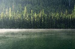
Quartz Creek Campground
Glacier National Park
25.9 miles NA peaceful 22-site campground in the heart of Glacier National Park, close to Going-to-the-Sun Road and a short hike from iconic Grinnell Glacier.
Camp
Clements Mountain Trail
Logan Pass, Glacier National Park
26.8 miles NEA four-mile round-trip climb of Clements Mountain in Glacier National Park, with several routes of varying difficulty and significant elevation gain — often confused with nearby Reynolds Mountain.
Backpack, Camp, Hike, Rock Climb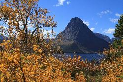
Two Medicine Campground
Glacier National Park
31.7 miles ETwo Medicine Campground lies in the quiet, dramatic southeast corner of Glacier National Park, on the shore of Two Medicine Lake beneath the sharp pyramid of Sinopah Mountain. About 13 miles up the...
Camp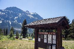
Rising Sun Campground
Glacier National Park
32.4 miles NEMore than 150 sites in eastern Glacier National Park close to Going-to-the-Sun Road, St. Mary's Falls and Red Rock Falls trails, and frequent bear, elk, and bighorn sightings.
Camp
Bowman Lake Campground
Glacier National Park
32.7 miles NA stunning lakeside campground in the heart of Glacier National Park with 50+ campsites, bear-proof lockers, nearby hiking trails, and access to swimming, fishing, and paddling on Bowman Lake.
Camp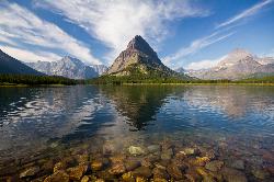
Many Glacier Campground
Many Glacier, Glacier National Park
33.7 miles NEMany Glacier Campground sits in what many visitors consider the most spectacular corner of Glacier National Park: the Many Glacier valley on the park's northeast side, cradled among towering peaks...
Camp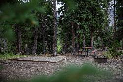
Cut Bank Campground
Glacier National Park
33.7 miles NEA peaceful forested campground along Cut Bank Creek in Glacier National Park with 48 first-come sites, nearby hiking trails, and access to fishing at St. Mary Lake.
Camp 9.7 mi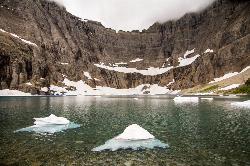
Iceberg Lake
Many Glacier, Glacier National Park
33.8 miles NENine miles of alpine trail deliver sweeping views of Ptarmigan Wall, Mount Grinnell, and Mount Wilbur before arriving at an iceberg-dotted cirque lake in Glacier NP.
Backpack, Camp, Hike 11.8 mi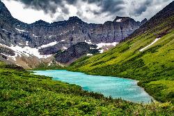
Cracker Lake Trail
Many Glacier, Glacier National Park
34.0 miles NEA 12.5-mile hike through forests and meadows to a surreal turquoise lake in the Many Glacier area — plan for two days to fully enjoy this bear-country gem.
Backpack, Camp, Hike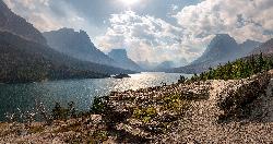
St. Mary Campground
Glacier National Park
37.6 miles NEOver 200 campsites on the edge of Glacier National Park with flush toilets, showers, and quick access to Going-to-the-Sun Road, the Highline Trail, and St. Mary Lake.
Camp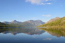
Kintla Campground
Glacier National Park
42.6 miles NA 26-site campground on the shores of Kintla Lake inside Glacier National Park — fire pits, bear boxes, vault toilets, and the Kintla Lake Trail at your doorstep.
Camp
South Dickey Lake Picnic Area
Trego
42.6 miles NWA free Forest Service beach on Dickey Lake near Trego, Montana, where a grassy lawn slopes into a deep, clear lake. Open 10 a.m. to 10 p.m. in season, no lifeguard.
Camp, Canoe, Hike, Kayak, Swim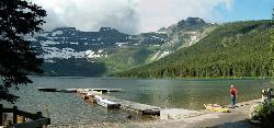
Cameron Lake
Waterton, Glacier National Park
44.6 miles NA picturesque Canadian glacial lake in Waterton Lakes National Park surrounded by mountain scenery, avalanche-sculpted shores, kayaking, fishing, and Herbst Glacier views.
Backpack, Camp, Hike


