


Bowman Lake Campground
Glacier National Park
| Address: | Bowman Lake Campground, West Glacier, MT, USA |
| GPS: |
48°49'43.6"N 114°12'9.7"W Maps | Directions |
| State: | Montana |
National Park
Camp
Bowman Lake Campground is one of Glacier National Park's most coveted primitive campgrounds, set at the foot of long, narrow Bowman Lake deep in the remote North Fork region on the park's quiet northwest side. Reaching it is part of the appeal and part of the challenge: it lies about 32 miles north of the West Entrance by way of the unpaved, washboard North Fork Road and the rough, narrow Bowman Lake Road past the tiny outpost of Polebridge. The drive is slow and not suitable for RVs or trailers, which keeps crowds down and the atmosphere wonderfully wild.
The campground has roughly 48 first-come, first-served sites tucked into the forest along the lakeshore, each with a picnic table, fire ring and bear-resistant food storage. Facilities are deliberately basic: vault (pit) toilets and, in season, drinking water, but no hookups, no dump station and no showers. Because it is first-come only and much loved, it fills early on summer days, so arriving in the morning is the way to secure a site.
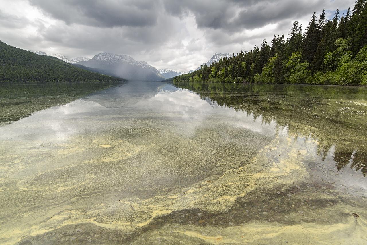
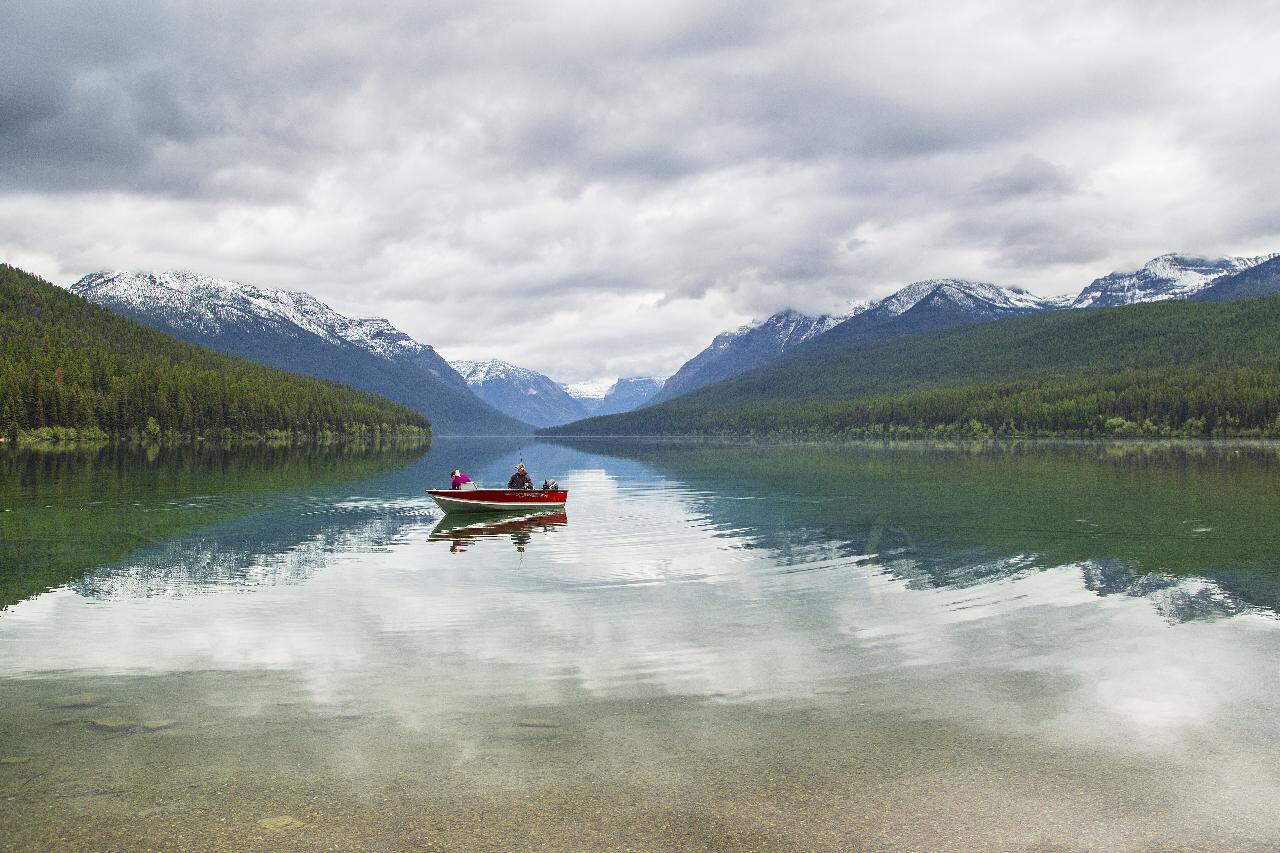
Bowman Lake itself is the reward, a mirror-calm, glacially fed lake framed by Rainbow Peak, Reuter Peak and the surrounding wilderness. It is superb for paddling a canoe or kayak, cold-water swimming, fishing and simply watching the light change on the water, and the Bowman Lake Trail runs the shoreline toward the head of the lake and beyond into the backcountry. This is prime grizzly country with no cell service, so bear-aware habits and full self-sufficiency are essential, but for paddlers and tent campers it is one of the most magical corners of the park.
More Information
Glacier National Park Itinerary
This Glacier National Park Itinerary will help you get started as you plan your vacation to Glacier National Park.
https://www.justgotravelstudios.com/collections/national-park-itineraries/products/glacier-national-park-itinerary?ref=9zpxis0diinCamping - Glacier National Park (U.S. National Park Service)
Front Country Campground Status
https://www.nps.gov/glac/planyourvisit/camping.htmNorth Fork Flathead River - Wikipedia
The North Fork Flathead River (Ktunaxa: kqaskanmituk [3]) is a 153-mile (246 km)[2] river flowing through British Columbia, Canada, south into the U.S. state of Montana. It is one of the three primary forks of the Flathead River, the main inflow of Flathead Lake and a tributary of the Columbia River via the Clark Fork River and the Pend Oreille River. The river is sometimes considered the upper headwaters of the Flathead River,[4] although the North Fork is its official name in the U.S. Other naming conventions for the river include Flathead River - North Fork, North Fork of Flathead River, and North Fork of the Flathead River.[1]
https://en.wikipedia.org/wiki/North_Fork_Flathead_River
- Plan Ahead and Prepare
- Travel & camp on durable surfaces
- Dispose of waste properly
- Leave what you find
- Minimize campfire impacts
- Respect wildlife
- Be considerate of other visitors
Directions
From Glacier National Park
- Head west on Camas Rd toward N Fork Rd (0.2 mi)
- Turn right onto N Fork Rd (12.9 mi)
- Turn right toward Polebridge Loop (151 ft)
- Turn right onto Polebridge Loop (1.0 mi)
- Continue onto Glacier Dr (0.7 mi)
- Turn left to stay on Glacier Dr (407 ft)
- Turn left onto Inside North Fork RdParts of this road may be closed at certain times or daysThis road is closed in winter.(0.2 mi)
- Turn right onto Bowman Lake RdThis road is closed in winter.Destination will be on the left(5.5 mi)
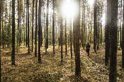
 Sunrise hiker at Bowman Lake Campground courtesy of GlacierNPS↗ (Public domain↗)
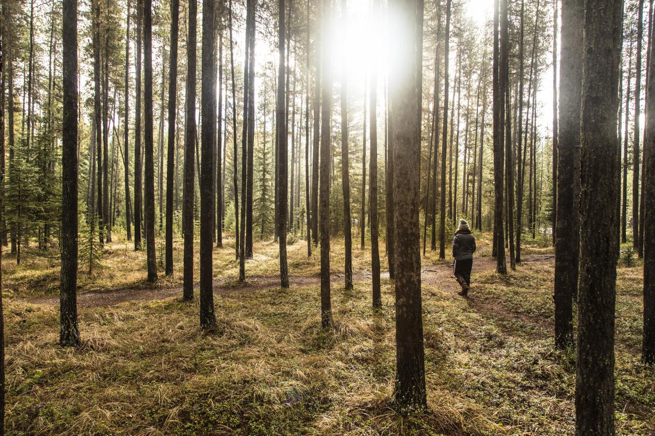
 The wooded shore of Bowman Lake courtesy of GlacierNPS↗ (Public domain↗)
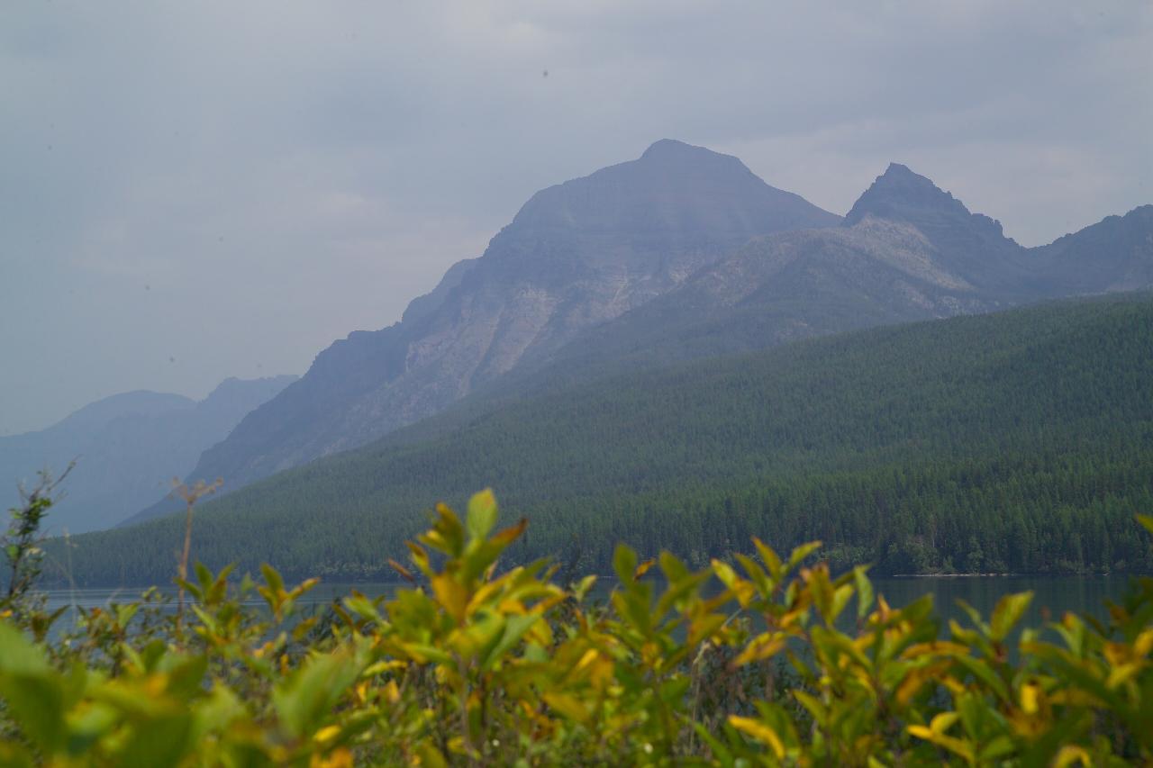 Boaters on Bowman Lake courtesy of GlacierNPS↗ (Public domain↗)
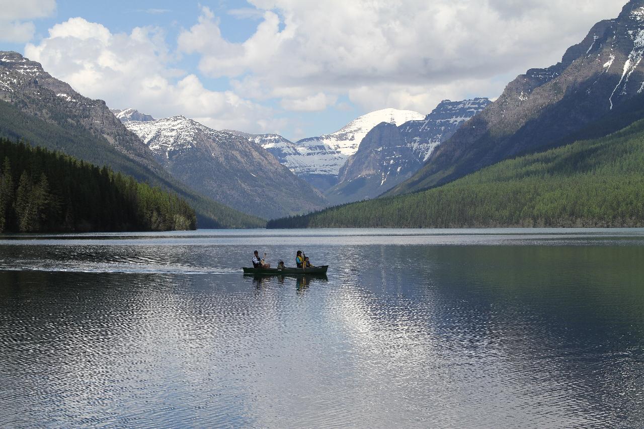 Bowman Lake beneath the North Fork peaks courtesy of Spikecowboy45↗ (CC BY 4.0↗)
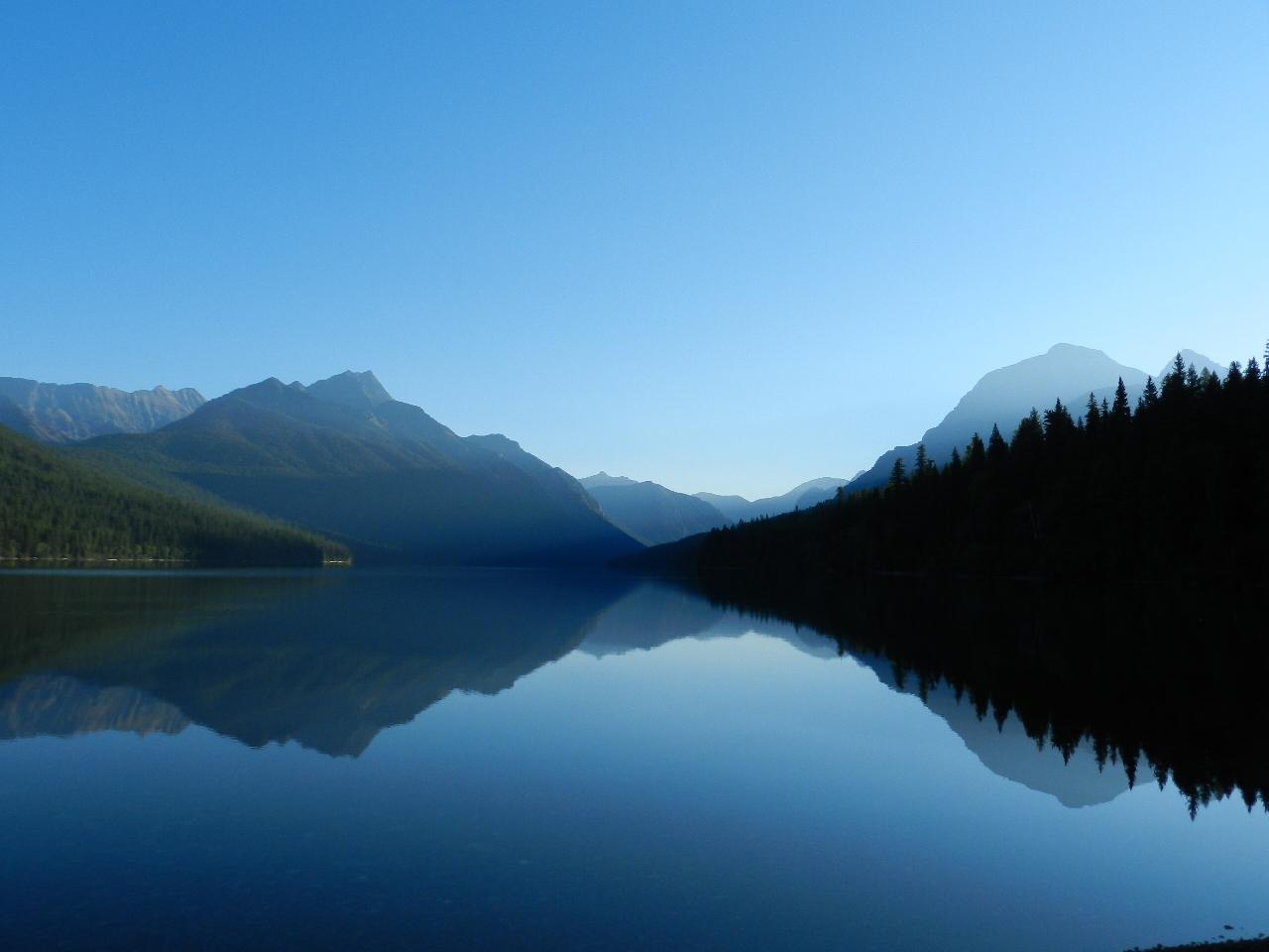 Still morning water on Bowman Lake courtesy of GlacierNPS↗ (Public domain↗)
 Paddlers on Bowman Lake courtesy of GlacierNPS↗ (Public domain↗)
Other Arenas Nearby
Quartz Creek Campground
Glacier National Park
7.4 miles SA peaceful 22-site campground in the heart of Glacier National Park, close to Going-to-the-Sun Road and a short hike from iconic Grinnell Glacier.
Camp
Logging Creek Campground
Glacier National Park
9.0 miles SA first-come, first-served campground nestled in the Many Glacier area of Glacier National Park, with 49 sites and close access to the Grinnell Glacier and Swiftcurrent trails.
Camp
Kintla Campground
Glacier National Park
10.7 miles NA 26-site campground on the shores of Kintla Lake inside Glacier National Park — fire pits, bear boxes, vault toilets, and the Kintla Lake Trail at your doorstep.
Camp
Hay Creek Trail #3
13.1 miles W
A 5.4-mile non-motorized trail from Road #376 to the Whitefish Divide Trail #26 junction — open for hiking, mountain biking, and horseback riding in Montana.
Mountain Bike
Cameron Lake
Waterton, Glacier National Park
14.5 miles NEA picturesque Canadian glacial lake in Waterton Lakes National Park surrounded by mountain scenery, avalanche-sculpted shores, kayaking, fishing, and Herbst Glacier views.
Backpack, Camp, Hike
Whale Creek Trail #11
18.1 miles W
A 6.2-mile non-motorized trail in Montana beginning at the end of Road 318 — open to hikers and bikers, with a highline available for stock users.
Mountain Bike 0.9 mi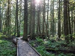
Trail of the Cedars
Apgar Village, Glacier National Park
20.3 miles SEAn easy wheelchair-accessible loop through towering 500-year-old cedars up to 100 feet tall in Glacier National Park, with gorge views of glacial Avalanche Creek and a footbridge over the water.
Hike 4.5 mi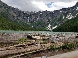
Avalanche Lake
Apgar Village, Glacier National Park
20.4 miles SEHike near Apgar Village, Glacier National Park
Hike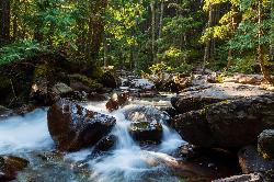
Avalanche Campground
Glacier National Park
20.4 miles SENestled on Glacier National Park's west side, Avalanche Campground puts 128 sites, flush toilets, and bear-proof storage right next to the Trail of the Cedars and the stunning Avalanche Lake hike.
Camp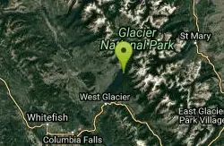
Glacier National Park
West Glacier, Montana
20.8 miles SESwim near West Glacier, Montana
Swim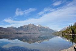
Sprague Campground
Glacier National Park
21.1 miles SEAn 85-site campground on the west side of Glacier National Park near Lake McDonald, with swimming, boating, fishing, wildlife viewing, and the Trail of the Cedars nearby.
Camp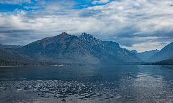
Fish Creek Campground
Glacier National Park
21.8 miles SEA 193-site Glacier National Park campground along Fish Creek, surrounded by pine and cedar forest, with mountain views, fire rings, and access to the Trail of the Cedars nearby.
Camp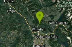
Smokey Range Nrt. Trail #270
Whitefish, Montana
22.3 miles SA 9.3-mile non-motorized trail near Whitefish, Montana running from Road 316 to Road 803 through backcountry terrain.
Mountain Bike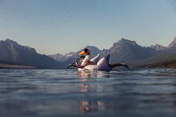
Apgar Campground
Apgar Village, Glacier National Park
23.3 miles SECampsites on the shores of Lake McDonald within Glacier National Park, with easy access to the Apgar Visitor Center, nature center, nearby hiking, and the western entrance to Going-to-the-Sun Road.
Camp
Grinnell Lake
Many Glacier, Glacier National Park
23.3 miles EA 7.5-mile round-trip hike along glacier-fed subalpine lakes to a turquoise glacial lake in Glacier National Park — with a waterfall along the way and an optional ferry across Lake Josephine.
Hike, Swim
Summit Mountain Bike Trail #810
Whitefish, Montana
23.4 miles SAn 8-mile mountain bike trail at Whitefish Mountain Resort, accessible from the base or by taking Chair 1 to the summit — suited for advanced beginners through advanced riders, with a lift-served descent option.
Mountain Bike
Whitefish Mountain Resort
Whitefish, Montana
23.5 miles SAn 8-mile climb through beautiful alpine forest to the summit of Whitefish Mountain with huckleberry picking in summer, panoramic Flathead Valley views, and a restaurant at the top — then an epic 8-mile downhill back.
Mountain Bike 5.0 mi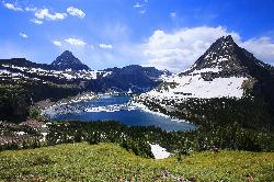
Hidden Lake
Glacier National Park
23.9 miles SEA 6.6-mile round-trip hike from Logan Pass through alpine meadows, dense forest, and rocky terrain to the crystal-clear waters of Hidden Lake, with bighorn sheep and mountain goats along the way.
Hike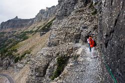
Highline Trail
Logan Pass, Glacier National Park
24.0 miles SEOne of Glacier National Park's most celebrated hikes — the Highline Trail spans alpine meadows, the Continental Divide, and the Garden Wall with mountain goats, wildflowers, and views to rival anything in the park.
Backpack, Hike
Clements Mountain Trail
Logan Pass, Glacier National Park
24.0 miles EA four-mile round-trip climb of Clements Mountain in Glacier National Park, with several routes of varying difficulty and significant elevation gain — often confused with nearby Reynolds Mountain.
Backpack, Camp, Hike, Rock ClimbNearby Campsites
Quartz Creek Campground
Glacier National Park
7.4 miles SA peaceful 22-site campground in the heart of Glacier National Park, close to Going-to-the-Sun Road and a short hike from iconic Grinnell Glacier.
Camp
Logging Creek Campground
Glacier National Park
9.0 miles SA first-come, first-served campground nestled in the Many Glacier area of Glacier National Park, with 49 sites and close access to the Grinnell Glacier and Swiftcurrent trails.
Camp
Kintla Campground
Glacier National Park
10.7 miles NA 26-site campground on the shores of Kintla Lake inside Glacier National Park — fire pits, bear boxes, vault toilets, and the Kintla Lake Trail at your doorstep.
Camp
Cameron Lake
Waterton, Glacier National Park
14.5 miles NEA picturesque Canadian glacial lake in Waterton Lakes National Park surrounded by mountain scenery, avalanche-sculpted shores, kayaking, fishing, and Herbst Glacier views.
Backpack, Camp, Hike
Avalanche Campground
Glacier National Park
20.4 miles SENestled on Glacier National Park's west side, Avalanche Campground puts 128 sites, flush toilets, and bear-proof storage right next to the Trail of the Cedars and the stunning Avalanche Lake hike.
Camp
Sprague Campground
Glacier National Park
21.1 miles SEAn 85-site campground on the west side of Glacier National Park near Lake McDonald, with swimming, boating, fishing, wildlife viewing, and the Trail of the Cedars nearby.
Camp
Fish Creek Campground
Glacier National Park
21.8 miles SEA 193-site Glacier National Park campground along Fish Creek, surrounded by pine and cedar forest, with mountain views, fire rings, and access to the Trail of the Cedars nearby.
Camp
Apgar Campground
Apgar Village, Glacier National Park
23.3 miles SECampsites on the shores of Lake McDonald within Glacier National Park, with easy access to the Apgar Visitor Center, nature center, nearby hiking, and the western entrance to Going-to-the-Sun Road.
Camp
Clements Mountain Trail
Logan Pass, Glacier National Park
24.0 miles EA four-mile round-trip climb of Clements Mountain in Glacier National Park, with several routes of varying difficulty and significant elevation gain — often confused with nearby Reynolds Mountain.
Backpack, Camp, Hike, Rock Climb 9.7 mi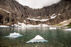
Iceberg Lake
Many Glacier, Glacier National Park
24.0 miles ENine miles of alpine trail deliver sweeping views of Ptarmigan Wall, Mount Grinnell, and Mount Wilbur before arriving at an iceberg-dotted cirque lake in Glacier NP.
Backpack, Camp, Hike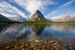
Many Glacier Campground
Many Glacier, Glacier National Park
24.0 miles EMany Glacier Campground sits in what many visitors consider the most spectacular corner of Glacier National Park: the Many Glacier valley on the park's northeast side, cradled among towering peaks...
Camp 11.8 mi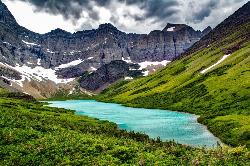
Cracker Lake Trail
Many Glacier, Glacier National Park
25.0 miles EA 12.5-mile hike through forests and meadows to a surreal turquoise lake in the Many Glacier area — plan for two days to fully enjoy this bear-country gem.
Backpack, Camp, Hike
Rising Sun Campground
Glacier National Park
32.4 miles EMore than 150 sites in eastern Glacier National Park close to Going-to-the-Sun Road, St. Mary's Falls and Red Rock Falls trails, and frequent bear, elk, and bighorn sightings.
Camp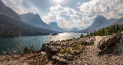
St. Mary Campground
Glacier National Park
34.9 miles EOver 200 campsites on the edge of Glacier National Park with flush toilets, showers, and quick access to Going-to-the-Sun Road, the Highline Trail, and St. Mary Lake.
Camp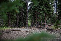
Cut Bank Campground
Glacier National Park
40.6 miles SEA peaceful forested campground along Cut Bank Creek in Glacier National Park with 48 first-come sites, nearby hiking trails, and access to fishing at St. Mary Lake.
Camp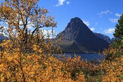
Two Medicine Campground
Glacier National Park
44.9 miles SETwo Medicine Campground lies in the quiet, dramatic southeast corner of Glacier National Park, on the shore of Two Medicine Lake beneath the sharp pyramid of Sinopah Mountain. About 13 miles up the...
Camp
Jewel Basin
Kalispell, Montana
47.3 miles SThe Jewel Basin Hiking Area packs 35 miles of hiker-only trail, two dozen alpine lakes, and the Mount Aeneas lookout into the Swan Range near Kalispell.
Backpack, Camp, Hike


