


Whaleback Swimming Hole
Asheville, North Carolina

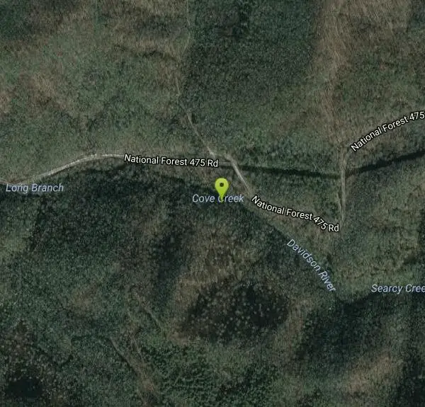
| Address: | National Forest 475 Rd, Brevard, NC, USA |
| GPS: |
35°16'55.0"N 82°49'0.1"W Maps | Directions |
| State: | North Carolina |
Waterfalls
Swim
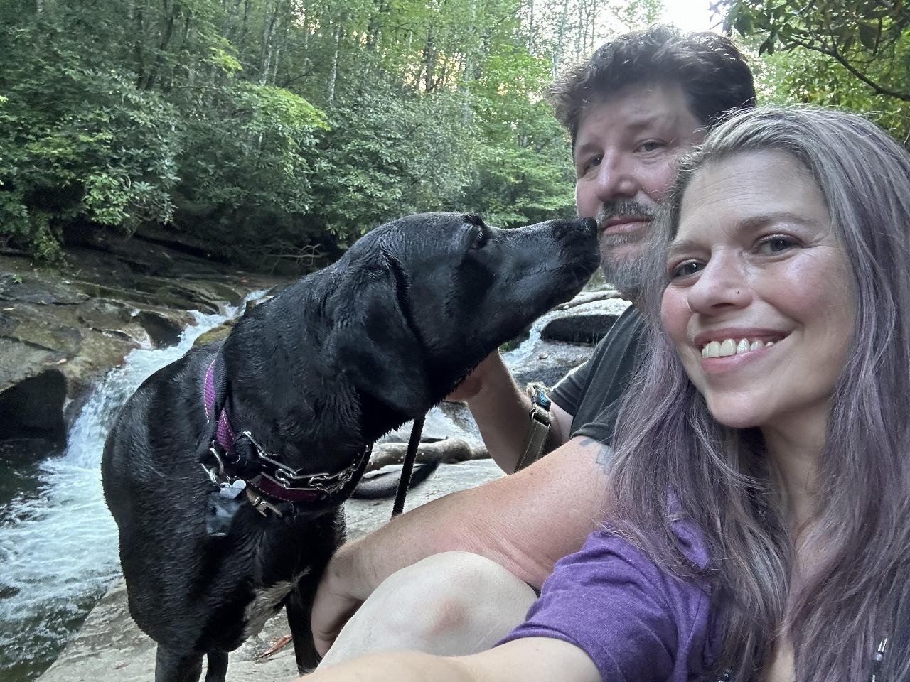
Most people in this neck of the woods will head straight to Sliding Rock or Looking Glass Falls, but the locals go to Whaleback on the Davidson River above the fish hatchery. A massive slab of bedrock forms a horseshoe around a deep swimming hole. A small cascade tumbles into the green pool, which is surrounded by a lush hardwood forest. The pool—20 feet wide and twice as long—marks the spot where Cove Creek meets the Davidson River. Crowds are nonexistent during the week and minimal on weekends. Courtesy of blueridgeoutdoors.com
More Information
Swimmers’ Guide to the Blue Ridge Parkway -
For 469 miles, the Blue Ridge Parkway follows the ridgeline of the Southern Appalachians, connecting Great Smoky Mountains National Park in North Carolina with Virginia’s Shenandoah National Park. Along that stretch of two-lane blacktop are countless trails and backroads -- some of which lead to ice-cold swimming holes.
https://www.blueridgeoutdoors.com/hiking/swimmers-guide-blue-ridge-parkway/
- Plan Ahead and Prepare
- Travel & camp on durable surfaces
- Dispose of waste properly
- Leave what you find
- Minimize campfire impacts
- Respect wildlife
- Be considerate of other visitors
Directions
From Asheville, North Carolina
- Head east on S Pack Square (154 ft)
- Turn left toward Broadway St/
N Pack Square (289 ft) - Turn right onto Broadway St/
N Pack Square Continue to follow Broadway St(0.3 mi) - Turn right to merge onto I-240 W/
US-70 W toward US 74 Alternante Continue to follow I-240 W(1.7 mi) - Keep right at the fork to continue on I-26 E (12.6 mi)
- Take the exit toward NC-280 W/
Airport Rd (436 ft) - Continue onto Exit 40 (signs for Arden/
North Carolina 280/ Asheville Reg'l Arpt) (0.2 mi) - Keep right at the fork, follow signs for WNC Agriculture Ctr/
Airport and merge onto NC-280 W/ Airport Rd Continue to follow NC-280 WPass by Taco Bell (on the right in 15.9 mi)(16.0 mi) - Turn right onto US-276 N (5.3 mi)
- Slight left onto Fish Hatchery Rd/
National Forest 475 Rd (1.5 mi) - Turn left onto N Davidson River Rd/
National Forest 475 Rd Destination will be on the left(1.5 mi)



Added by camilledupar
Other Swimming Holes Nearby
Cove Creek Tubs
Brevard, North Carolina
0.3 miles NThree perfectly rounded pot holes — the Pisgah Forest's finest — stack up to 12 feet deep in sun-drenched pools that are best described as nature's own jacuzzi collection.
Swim 0.8 mi
Daniel Ridge Falls
Brevard, North Carolina
1.4 miles EAn easy half-mile hike in Pisgah National Forest near Brevard to a 150-foot waterfall known by three names — most impressive after rain, modest in dry spells, with an optional 4-mile loop to the top.
Hike, Mountain Bike, Swim 
Looking Glass Falls
Brevard, North Carolina
2.9 miles EA cascading 60-foot waterfall over mossy stone with a wading pool below — just a short, beautiful walk from Pisgah Highway in Brevard, stunning in any season.
Hike, Swim 0.1 mi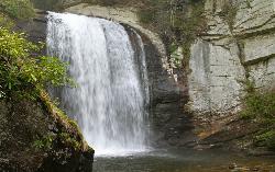
Looking Glass Falls
Brevard, North Carolina
2.9 miles EOne of North Carolina's most popular and accessible waterfalls — the 60-foot Looking Glass Falls drops roadside along the Forest Heritage Scenic Byway in Pisgah National Forest, with easy viewing from the parking area or a short walk.
Swim 
Coontree Recreation Area
Brevard, North Carolina
2.9 miles EA scenic picnic area on the Davidson River with direct access to calm, deep water for swimming and fishing — plus the 3.7-mile Coontree Loop Trail through Pisgah National Forest.
Hike, Mountain Bike, Swim 
Skinny Dip Falls
Brevard, North Carolina
3.0 miles NA cascading waterfall with multiple clear pools for wading and swimming, a 6-foot jumping spot, and an easy 3/4-mile forested walk from the Blue Ridge Parkway — swimmers should mind fast water and slippery rocks.
Hike, Swim 0.2-2.8 mi
Graveyard Fields
Brevard, North Carolina
3.2 miles NWTwo cascading waterfalls — a swimmable Lower Falls just 1/3 mile from the road, and a more challenging Upper Falls on a 3.5-mile wildflower loop — make this a must-see hike.
Hike, Swim 
Courthouse Falls
4.4 miles W
A gorgeous 45-foot waterfall streams into a stunning blue-green pool in a greenery-covered cliff cove — just a 3/4-mile easy hike from the parking lot, open year-round.
Hike, Swim 
Davidson River Campground
Pisgah Forest, North Carolina
5.3 miles EA year-round campground in Pisgah National Forest just four miles from Brevard and less than an hour from Asheville, with shaded loops, hiking trails, waterfalls, and fishing spots nearby.
Camp, Hike, Swim 
Big East Fork
Canton, North Carolina
5.7 miles NHeavy forest, multiple waterfalls, and a river that shifts from white rapids to calm swimming holes along Big East Fork in Pisgah National Forest — great for kayaking, camping, and swimming year-round.
Backpack, Hike, Kayak, Swim 1.8 mi
Flat Laurel Creek
6.1 miles NW
A 3.18-mile multi-use trail following Flat Laurel Creek through colorful rock formations and forest, with distant views of Sam Knob and a small waterfall — open year round.
Hike, Horseback, Mountain Bike, Swim 
Sunburst
Canton, North Carolina
9.2 miles NWSunburst is a refreshing mountain getaway along the West Fork of the Pigeon River in North Carolina's Pisgah National Forest, tucked into the high, forested country south of Canton and...
Swim 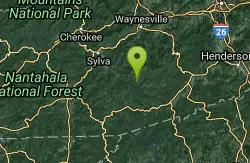
Big Creek Area
Tuckasegee, North Carolina
11.5 miles WSeveral remote swimming holes near the TN-NC border in the Big Creek Recreation Area of the Great Smoky Mountains — very secluded, and dogs are not allowed on the trail.
Swim 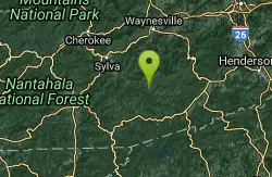
Bear Creek Area
Tuckasegee, North Carolina
11.5 miles WSeveral remote swimming holes in lakes along Route 281 southeast of Sylva and Cullowhee — bathing suits optional at most spots, given how far off the beaten path they are.
Swim 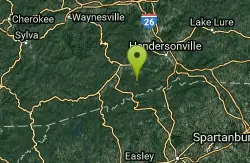
Dupont State Park
Wallace, North Carolina
12.4 miles SESwim near Wallace, North Carolina
Swim 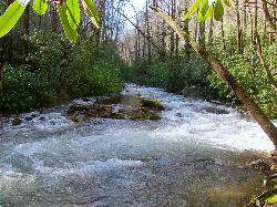
North Mills River
Mills River, North Carolina
12.9 miles NEA campground in the Cherokee National Forest with creek swimming, fishing for rainbow and brook trout, and kid-favorite tubing — plus 31 picnic tables and educational summer programs nearby.
Swim 1.4 mi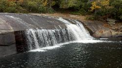
Turtleback Falls
Lake Toxaway, North Carolina
15.6 miles SWTurtleback Falls' dome-shaped slide drops riders 10 feet into the Chug Hole pool, but wait for calm currents — strong flows have swept swimmers downriver over 125-foot Rainbow Falls.
Backpack, Hike, Swim 1.3 mi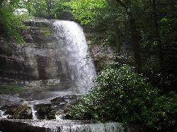
Rainbow Falls
Lake Toxaway, North Carolina
15.6 miles SWA 150-foot spectacular cascade on the Horsepasture River can be admired from front, side, bottom, and top — one showstopper in a 2-mile series of incredible falls.
Hike, Swim 1.0 mi
Hidden Falls
Lake Toxaway, North Carolina
15.7 miles SWJust a few steps off the Horsepasture River trail, Hidden Falls drops less than ten feet into an idyllic boulder-rimmed pool — a serene and easy family swimming hole.
Hike, Swim 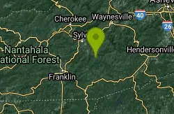
Big Creek
Waynesville, North Carolina
17.3 miles WBig Creek is a crystalline mountain stream tumbling through the quiet northeastern corner of Great Smoky Mountains National Park, and it may be the single best swimming creek in the Smokies. Cold,...
SwimNearby Campsites
Davidson River Campground
Pisgah Forest, North Carolina
5.3 miles EA year-round campground in Pisgah National Forest just four miles from Brevard and less than an hour from Asheville, with shaded loops, hiking trails, waterfalls, and fishing spots nearby.
Camp, Hike, Swim 
Mt. LeConte Lodge
Sylva, North Carolina
26.2 miles WThe highest guest lodge in the eastern United States at 6,400 feet, with spectacular Smokies views from an open glade just below the Mt. LeConte summit in Great Smoky Mountains NP.
Camp, Hike, Horseback, Rock Climb 
Cosby Campground
Cosby, Tennessee
39.5 miles NWCamp and Swim near Cosby, Tennessee
Camp, Swim 
Rocky Bluff
Hot Springs, North Carolina
40.2 miles NRocky Bluff is a tranquil mountain getaway in the Pisgah National Forest near Hot Springs, North Carolina, where a wooded campground sits beside the lovely Spring Creek just a few miles south of...
Camp, Hike, Swim 
War Woman Dell Wildlife Management Area
Clayton, Georgia
41.0 miles SWA short 0.8-mile out-and-back hike near Clayton, Georgia through a nature trail to a waterfall — good for all skill levels and accessible year-round.
Camp, Hike, Horseback 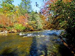
Carolina Hemlock
Burnsville, North Carolina
49.8 miles NEA family swimming area on the South Toe River near Mount Mitchell in the Pisgah National Forest campgrounds — note that the site is closed seasonally and fees apply.
Camp, Swim


