


Goldmyer Hot Springs Trail
North Bend, Washington
| Address: | Goldmyer Hot Springs Trail, North Bend, WA 98045, USA |
| GPS: |
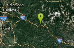
47°29'17.6"N 121°23'30.5"W Maps | Directions |
| State: | Washington |
| Trail Length: | 9.00 miles |
| Trail Type: | Out & Back |
| Trails/Routes: | 7.0 mi |
Hike and Hot Springs
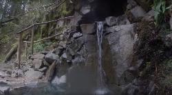
Goldmyer Hot Springs Trail is a difficult hiking trail up to the famous Goldmyer Hot Springs. The hike is free to access and great for those who want to enjoy a remote hiking experience.
This hike starts at the Dingford Trail Head. Dingford Trailhead is accessed via forest service roads, 12 miles of which are paved and 6 miles of which are unpaved. A Northwest Forrest Pass is needed to access the roads here.
The hike is a strenuous 4.5 miles each way. This beautiful forested path is a wonderful escape to nature. Hikers should be prepared with water, food and any other necessities for a long hike as there are no facilities along the trail.
Camping and hot springs soaking are available with reservations and additional costs at the hot springs.
More Information
Goldmyer Hot Springs
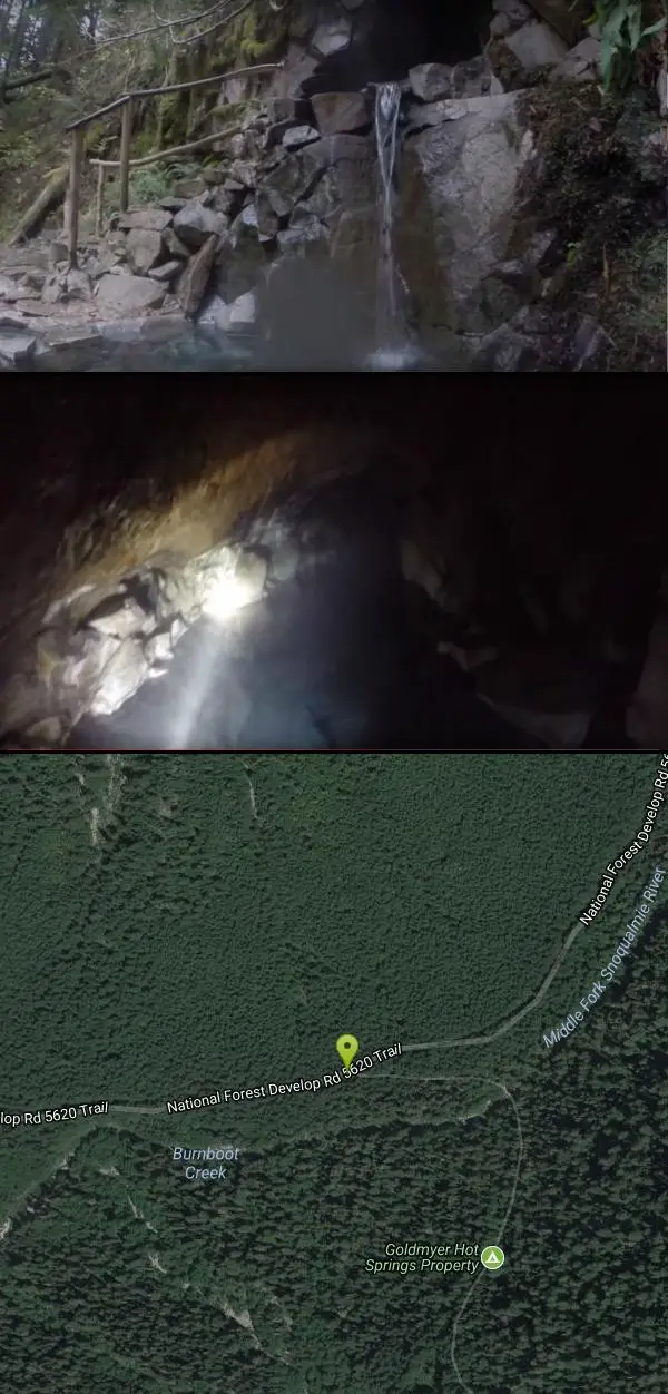
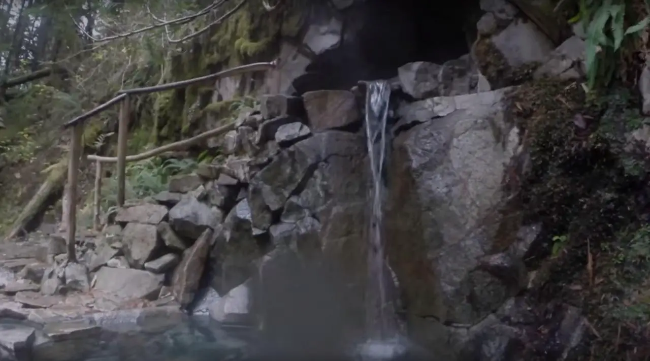
The way to Goldmyer Hot Springs is a delightful forest walk through deep woods, along the rushing Snoqualmie River, and ultimately to a beautiful privately owned hot springs tucked against the Alpine Lakes Wilderness. Because it is privately owned by a non-profit, reservations are strongly recommended and are the only way to assure access to the property and hot springs.
https://www.wta.org/go-hiking/hikes/goldmyer-hot-springsWASHINGTON -- United States Hot Springs
Number of hot springs found: 30
https://deepcreekhotsprings.net/dchs/showhs.php?state=WABe courteous, informed, and prepared. Read trailhead guidelines, stay on the trail, and don't feed the wildlife.
Read More
Be careful. Pay attention to posted signs and always test the waters before you get in. Some hot springs can get up to boiling temperatures. Be sure to drink plenty of water to combat the dehydrating effect of the spring.
Be respectful of other soakers and the hot spring. Don't hog the pool. Camp at least 200 yards away and keep fires in designated areas. Keep your pets out of the water and never pee in thermal feature. Glass bottles should never go near a hot spring.

- Plan Ahead and Prepare
- Travel & camp on durable surfaces
- Dispose of waste properly
- Leave what you find
- Minimize campfire impacts
- Respect wildlife
- Be considerate of other visitors
Directions
- Get directions on Google Maps

Other Hiking Trails and Hot Springs Nearby
island lake
North Bend, Washington
6.6 miles SWA quieter alternative to the crowded Snoqualmie Pass hikes — shed the weekend throngs who turn back at Talapus or Olallie Lake and discover Island Lake in western Washington.
Camp, Hike, Swim 
Granite Mountain
North Bend, Washington
7.7 miles SWA steep, rewarding hike up Granite Mountain gaining about 1,000 feet per mile, with panoramic summit views of Mount Rainier, Mount Stewart, and the Teanaway — best tackled after the snow melts.
Backpack, Hike 5.4 mi
Middle Fork Snoqualmie Trail
North Bend, Washington
7.9 miles NWCLOSED. Closed due to landslide activity.
Hike, Mountain Bike 1.5 mi
Twin Falls Trail
North Bend, Washington
14.6 miles WA peaceful 3-mile river hike near North Bend that arrives at a beautiful waterfall viewpoint bridge at the halfway point, open rain or shine with easy access for all ages.
Hike 
Scenic Hot Springs
Skykomish, Washington
18.7 miles NECLOSED. Scenic Hot Springs are on private property and are closed to the public.
Hot Springs 
Garland Mineral Springs
Gold Bar, Washington
27.8 miles NCLOSED. The property is private and the caretaker does not take kindly to tresspassers. A former resort spring where hot water spills into the river, leaving warm pockets to sit and soak near Gold Bar.
Hot Springs 
Skyscraper Mountain Trail
Ashford, Washington
41.4 miles SA gorgeous day hike to 7,078-foot Skyscraper Mountain in Mount Rainier NP, with unobstructed Cascade Range views, Moraine Peak vistas, and Mystic Lake sightings from the summit.
Hike 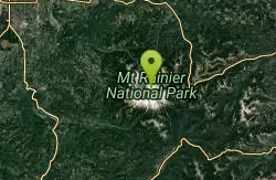
Mount Rainer
Ashford, Washington
46.0 miles SThe most glaciated peak in the contiguous U.S. at 14,410 feet — an active volcano with six major rivers, subalpine wildflower meadows, ancient forest, and abundant wildlife.
Camp, Hike, Mountain BikeNearby Campsites
island lake
North Bend, Washington
6.6 miles SWA quieter alternative to the crowded Snoqualmie Pass hikes — shed the weekend throngs who turn back at Talapus or Olallie Lake and discover Island Lake in western Washington.
Camp, Hike, Swim 
Jade Lake
Skykomish, Washington
18.2 miles NEA 26-mile overnight backpacking route through the Snoqualmie region past wildflower meadows, Marmot Lake, and a steep talus scramble to a remote alpine lake for swimming.
Backpack, Camp, Swim
Mount Rainer
Ashford, Washington
46.0 miles SThe most glaciated peak in the contiguous U.S. at 14,410 feet — an active volcano with six major rivers, subalpine wildflower meadows, ancient forest, and abundant wildlife.
Camp, Hike, Mountain Bike


