


10 Hiking Trails near Fairfield, CA
first prev 1 next lastShowing Hiking Trails within 50 miles Distance miles of Fairfield, CA, USA City, Zip, or Address
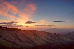
Grizzly Peak Trail
Berkeley, California
27.5 miles SWA trail through the Berkeley Hills with sweeping San Francisco Bay views at the peak — great for runners, dog walkers, and out-of-town guests on a clear day.
Hike, Mountain Bike 3.8 mi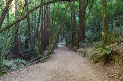
East Ridge Trail
Oakland, California
31.4 miles SA wide, gentle ridge trail weaving through Oakland's redwood-covered hills to a waterfall — accessible all year with ladder bug clusters in the trees each winter.
Hike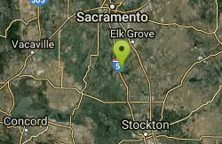
Cosumnes River Preserve
Galt, California
32.6 miles EA 45,859-acre wildlife habitat and agricultural preserve centered on the Cosumnes River near Galt — supporting Pacific Flyway migrating birds and varied riparian habitats.
Canoe, Hike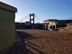
Battery Spencer
Mill Valley, California
37.8 miles SWA short 0.2-mile hike to a century-old Civil War battery with 12-inch rifled guns — now one of the best vantage points anywhere for viewing the Golden Gate Bridge.
Hike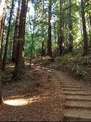
Muir Woods National Monument
Mill Valley, California
38.2 miles SWA national monument with several suggested hikes from the visitors center, including a 2-mile loop leaving the boardwalk into the towering old-growth redwoods, plus guided tours and programs.
Hike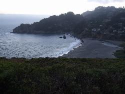
Muir Beach
Muir Beach, California
39.7 miles SWA hidden gem beach north of San Francisco with a 0.2-mile walk to the shore, informational placards for kids, sunset views over the Pacific, and access to the Coastal Trail.
Hike, Swim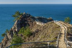
Muir Beach Overlook
Muir Beach, California
40.0 miles SWThe Muir Beach Overlook is a cliff-top Marin Headlands promontory with sweeping Pacific views, WWII fire-control bunkers, and prime gray-whale watching.
Hike 0.1-0.6 mi
Mt. Sutro Open Space Reserve
San Francisco, California
40.8 miles SWA 61-acre ecological oasis on a 900-foot San Francisco hill with a historic century-old eucalyptus forest, rare native plants, and a native plant garden and demonstration area at the summit.
Hike, Mountain Bike 4.0 mi
Palomarin Trail
Bolinas, California
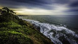
44.3 miles SWA 5-mile northern Marin coastal hike past ocean overlooks, varying terrain, and forested paths to the stunning Alamere Falls — with an optional Bass Lake swim on the return.
Hike 0.1 mi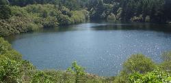
Bass Lake
Bolinas, California
44.6 miles SWBass Lake is a beloved hike-in swimming hole in Point Reyes National Seashore, tucked into the coastal hills above the Pacific near Bolinas, California. A small, tree-rimmed freshwater lake reached...
Hike, Swim


