


Popular Outdoor Locations
first prev next lastWe couldn't find free locations right near you yet, so here are some popular spots from around the world. Know a great place nearby? Add it and help the map grow.
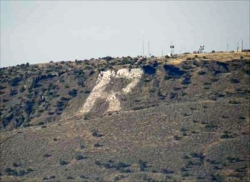
North Menan Butte ('R' Mountain)
Menan, Idaho
4.5 miles N of Menan, IdahoA volcanic butte locals call R Mountain, with a paved trailhead, chain handrails near the top, informational signs at the rim, and views of Rexburg and the Snake River.
Camp, Cave, Hike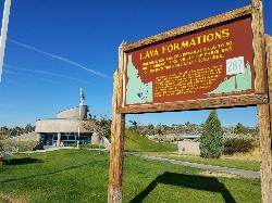
Hell's Half Acre Southbound Rest Stop
Blackfoot, Idaho
8.8 miles NE of Blackfoot, IdahoA well-maintained Interstate 15 rest stop on a lava flow area with a great walking path, informational signs about the formations and wildlife, picnic tables, and vending machines.
Hike 3.6 mi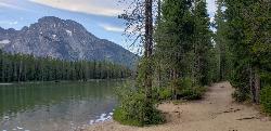
String Lake
Jackson Hole, Wyoming
21.2 miles N of Jackson Hole, WyomingA shallow, warm lake connecting Jenny and Leigh Lakes at the base of the Tetons — the clear water lets you see the bottom from a kayak, wade easily with kids, and access wilder open water beyond.
Canoe, Hike, Kayak, Swim 3.2-47.0 mi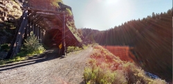
Yellowstone Branch Line Trail
Ashton, Idaho
7.6 miles NE of Ashton, IdahoA 39-mile trail from Warm River to the Montana border — open to backpackers, hikers, mountain bikers, horseback riders, and ATVs through the Targhee National Forest.
Backpack, Cross-country Ski, Hike, Horseback, Mountain Bike 0.6-3.7 mi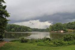
Umstead State Park
Raleigh, North Carolina
9.7 miles NW of Raleigh, North CarolinaFive thousand five hundred acres of forested trails — over 20 miles of hiking and 13 miles of multi-use paths — plus three fishing lakes and canoe rentals in the heart of the Triangle.
Camp, Canoe, Hike, Horseback, Mountain Bike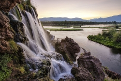
Fall Creek Falls
Swan Valley, Idaho
2.1 miles SW of Swan Valley, IdahoA shaded Snake River campground near Swan Valley with abundant wildlife, great trout fishing, and Fall Creek Falls a quarter-mile away.
Camp, Cave, Hike, Kayak, Swim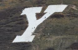
Y-Mountain Summit Trail
Provo, Utah
2.8 miles E of Provo, UtahA 1.2-mile climb east of BYU leads to a massive block Y on the hillside and sweeping panoramas over Provo, Orem, Utah Valley, and Utah Lake below.
Camp, Hike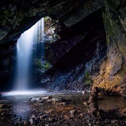
Donut Falls
Salt Lake City, Utah
14.9 miles SE of Salt Lake City, UtahA waterfall that pours through a hole in a cave ceiling — earning the 'donut' name — on a family-friendly 3-mile round-trip hike through Big Cottonwood Canyon.
Hike, Swim 0.8 mi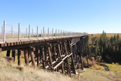
Conant Creek Pegram Truss Railroad Bridge
Ashton, Idaho
5.0 miles SE of Ashton, IdahoA spectacular converted railroad bridge with jaw-dropping views of Conant Creek hundreds of feet below — part of the 30-mile Ashton-Tetonia Trail, with vivid spring and fall colors and Teton backdrop.
Hike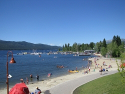
Mccall Area
McCall, Idaho
10.4 miles NE of McCall, IdahoA beautiful Idaho resort town with swimming holes, 7-mile mountain hikes to isolated lakes, Ponderosa State Park trails, mountain biking, Payette Lake boating, skiing, and sledding — all within reach of McCall.
Backpack, Camp, Canoe, Cross-country Ski, Hike, Kayak, Mountain Bike, Sled, Snowshoe, Swim 0.6 mi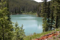
Packsaddle Lake
Tetonia, Idaho
9.3 miles W of Tetonia, IdahoA secluded, steep-access Teton lake with a 300-foot descent from the trailhead, water that drops off quickly at the edge, and a small camp on the eastern shore.
Dive, Hike, Mountain Bike, Snowshoe, Swim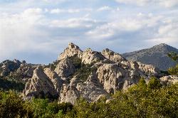
City of Rocks National Reserve
Malta, Idaho
23.3 miles SW of Malta, IdahoOver 700 developed climbing routes on granite spires rising 30 to 600 feet in Idaho's City of Rocks — from 5.6 beginner routes to 5.13 expert lines, with trad, sport, and full-range technique all welcome.
Camp, Hike, Horseback, Mountain Bike, Rock Climb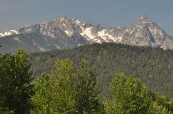
Trapper Peak
Darby, Montana
12.8 miles S of Darby, MontanaTrapper Peak is the highest summit in Montana's Bitterroot Mountains, a rugged 10,157-foot granite crown rising some 6,000 feet above the Bitterroot Valley near the town of Darby in the...
Hike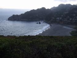
Muir Beach
Muir Beach, California
0.3 miles E of Muir Beach, CaliforniaA hidden gem beach north of San Francisco with a 0.2-mile walk to the shore, informational placards for kids, sunset views over the Pacific, and access to the Coastal Trail.
Hike, Swim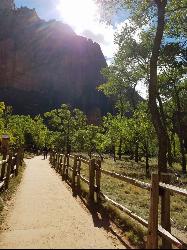
Riverside Walk
Springdale, Utah
7.6 miles N of Springdale, UtahA flat, paved riverside walk through Zion's desert swamp oasis, with hanging gardens on the cliffs and the option to continue into The Narrows — check flood conditions first.
Hike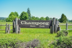
Champoeg State Park
Saint Paul, Oregon
4.9 miles NE of Saint Paul, OregonA historic pioneer park on the Willamette River with camping, boating, fishing, hiking, trail running, biking, disc golf, summer amphitheater concerts, and yurts and cabins to stay the night.
Camp, Disc Golf, Hike, Mountain Bike 0.5-3.5 mi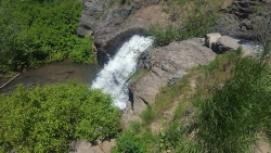
Webster's Dam
Ririe, Idaho
9.8 miles NE of Ririe, IdahoAn abandoned dam in Moody Creek canyon where sediment split the stream into two beautiful 15-foot waterfalls — stunning in spring runoff and blazing with fall colors.
Camp, Hike, Mountain Bike 1.5 mi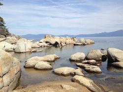
Skunk Harbor
Carson City, Nevada
9.1 miles W of Carson City, NevadaA forest service road hike from the 28 freeway to a secluded beach area near Carson City with mountain views, a historic building, and a marker — dogs welcome.
Hike 1.1 mi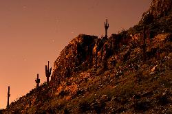
Piestewa Peak Summit Trail #300
Phoenix, Arizona
7.0 miles NE of Phoenix, ArizonaA steep, jagged, internationally recognized 1-mile climb to a 360-degree view of the entire Phoenix metro area — carved steps, two handrail sections, and water at the trailhead.
Hike 2.3 mi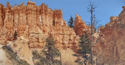
Queens Garden Trail
Bryce, Utah
3.2 miles S of Bryce, UtahA descent through hoodoos and tunnels in Bryce Canyon's main amphitheater starting at Sunrise Point — well-kept dirt trail with benches, detour to a Queen Victoria rock formation, and a forest ecosystem below.
Hike 0.9 mi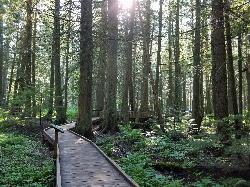
Trail of the Cedars
Apgar Village, Glacier National Park
13.2 miles NE of Apgar Village, Glacier National ParkAn easy wheelchair-accessible loop through towering 500-year-old cedars up to 100 feet tall in Glacier National Park, with gorge views of glacial Avalanche Creek and a footbridge over the water.
Hike 3.6 mi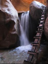
Kanarraville Falls
Kanarraville, Utah
0.5 miles E of Kanarraville, UtahA slot canyon hike through ankle-to-knee-deep water to twin waterfalls, with a natural sandstone slide into a refreshing swimming hole halfway through the route.
Hike, Swim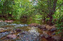
Chavez Crossing
Sedona, Arizona
2.1 miles SW of Sedona, ArizonaA campground on Oak Creek in Sedona's red-rock canyon, perfectly placed for cool water play, sunsets over Munds Mountain, and access to nearby swimming holes.
Camp, Hike, Swim
Best Hikes in Scottsdale for All Fitness Levels
Scottsdale, Arizona
E of Scottsdale, ArizonaFrom flat saguaro-dotted trails to craggy mountain summits, Scottsdale's desert landscape offers some of the most beautiful and varied hiking in the Southwest for all fitness levels.
Hike


