


Fall Creek Falls
Swan Valley, Idaho
| Address: | Fall Creek Falls, Swan Valley, ID, USA |
| GPS: |
43°26'27.6"N 111°22'37.4"W Maps | Directions |
| State: | Idaho |
Rivers Waterfalls Fall Colors Restrooms Picnic Tables
Camp, Cave, Hike, Kayak, and Swim
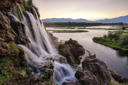
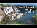
Fall Creek Falls is one of eastern Idaho's most beloved and photographed waterfalls — a broad, 60-to-70-foot curtain of water that spills over mossy travertine ledges directly into the Snake River near Swan Valley. It's a genuinely unusual sight: most waterfalls tumble into a creek or pool, but this one pours straight into a major river, framed by the cottonwoods and canyon walls of the beautiful Swan Valley. It's especially glorious in autumn, when the riverside trees blaze gold and the whole scene lights up.
The best part for most visitors is how easy it is to reach. From Highway 26 just west of Swan Valley, turn onto gravel Fall Creek Road (Forest Road 058) and follow it along the Snake River to a small pull-out near the falls. From there it's more of a short walk than a hike — cross a small stream and stroll a couple of minutes to a flat perch right at the top of the falls, with sweeping views over the waterfall and the river beyond.
Adventurous visitors can scramble down for a closer look. A steep, sandy slide and a set of natural rock steps lead down toward the base, where you'll find a mossy grotto tucked behind and beneath the falls — a magical little chamber where you can stand in the cool mist and shade with the water curtaining down in front of you. The ceiling is low, so watch your head, and the rock steps kick up far less dust than the loose slide.
Be careful near the edges. The viewpoints at the top sit right above the falls, with abrupt, unrailed cliff drops of 10 to 15 feet in places, so keep well back from the lip and hold onto children — the rock can be slick near the water. The short scramble to the bottom is steep and can be slippery too.
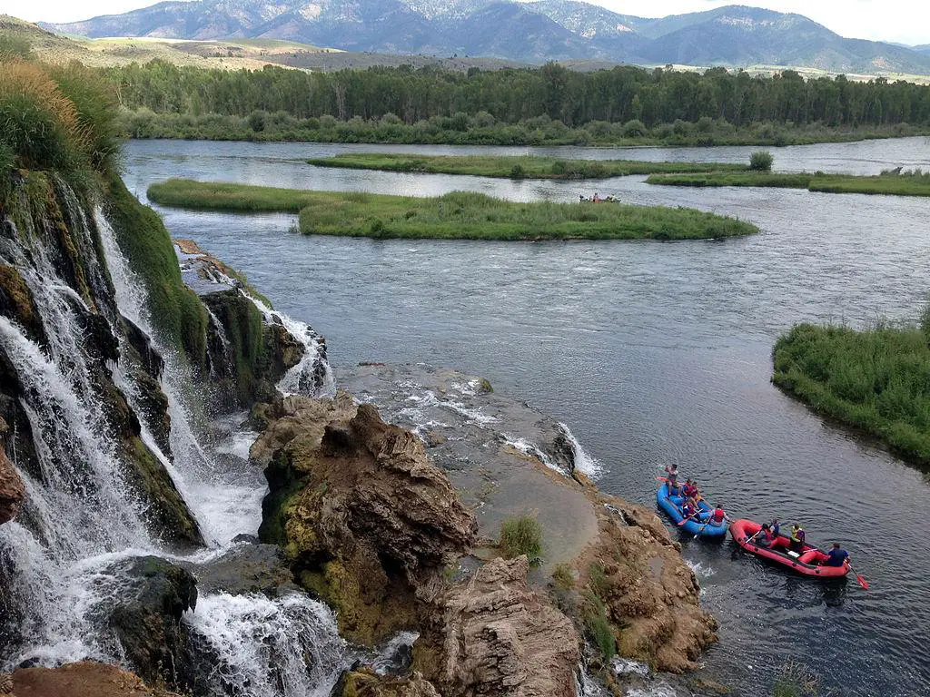
The falls are a favorite of paddlers, too: because the water spills right into the Snake, kayakers and rafters floating this stretch below Palisades Dam can pull up close to the base for a view you can't get any other way. In winter the falls partially freeze into curtains and columns of ice, drawing photographers to the snowy canyon. However you come at it — on foot from the road above or by boat from the river below — it's a quick, high-reward stop between Idaho Falls and the Wyoming line.
The falls run year-round and reward a stop in any season, though flows are fullest with spring snowmelt and the color is best in fall. For photographers, midday sun is harsh out here; early morning or evening light is far kinder. Keep an eye on the river, too — boaters and rafters drift past below, and the area teems with wildlife, including the American white pelicans that cruise this stretch of the Snake. A Forest Service campground and public boat ramps sit nearby, making it easy to turn a quick stop into a longer stay. Bring water and sturdy shoes, and enjoy one of those “how have I never seen this before?” Idaho gems.
More Information
Caribou-Targhee National Forest | Recreation | Forest Service
Find and Discover Recreation Sites and Trails in Caribou-Targhee National Forest
https://www.fs.usda.gov/r04/caribou-targhee/recreationBe courteous, informed, and prepared. Read trailhead guidelines, stay on the trail, and don't feed the wildlife.
Read More
- Plan Ahead and Prepare
- Travel & camp on durable surfaces
- Dispose of waste properly
- Leave what you find
- Minimize campfire impacts
- Respect wildlife
- Be considerate of other visitors
Directions
From Swan Valley, Idaho
- Head northwest on US-26 W toward Traughber Rd (3.0 mi)
- Turn left onto NF-058Destination will be on the left(1.4 mi)
From Idaho Falls, travel east 45 miles on Highway 26, turn off right before Snake River Bridge, then go 3.5 miles on gravel road to the campground. The waterfall is right off the road, so just pull over and park!
smbrady17
5/1/18 12:07 pmcteicheira
5/30/17 9:19 am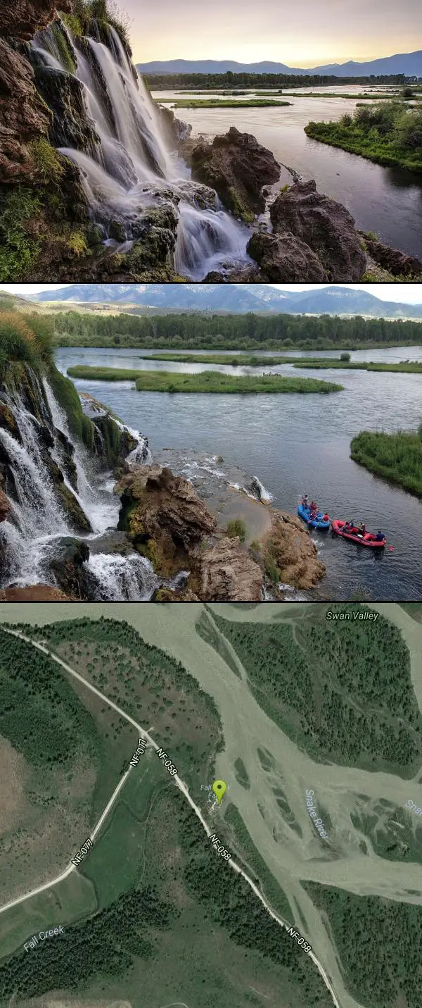

Other Swimming Holes, Hiking Trails, Caves, and Kayaking Areas Nearby
Palisades Creek Trail / Lakes and Waterfall Canyon
Irwin, Idaho
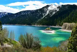
8.8 miles ESpectacular mountain views, two landslide-formed alpine lakes, and mountain goat sightings — all within a 4-to-6-mile hike in the Swan Valley wilderness.
Backpack, Camp, Hike, Horseback, Mountain Bike
Calamity Campground
Irwin, Idaho
11.4 miles SEA wooded Palisades Reservoir campground 55 miles east of Idaho Falls with clean blue water for swimming, boating, water skiing, and fishing — plus miles of ATV routes.
Camp, Canoe, Hike, Kayak, Mountain Bike, Swim 3.3-10.0 mi
Sheep Creek Trail
Irwin, Idaho
11.4 miles SEThe Sheep Creek Trail is a long, demanding backcountry route in the Caribou-Targhee National Forest above Irwin, Idaho, in the rugged Snake River Range east of Idaho Falls. Most often tackled as the...
Hike, Mountain Bike
Burns Canyon
Ririe, Idaho
12.2 miles NHike and Mountain Bike near Ririe, Idaho
Hike, Mountain Bike 6.6-6.8 mi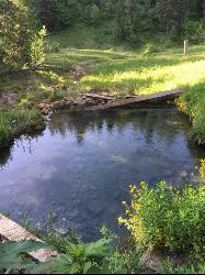
Bear Creek Hot Springs
Irwin, Idaho
13.5 miles SETrek ~13 miles up a creek canyon near Palisades Reservoir to a secluded natural hot spring — gentle most of the way, with one rewarding final climb.
Backpack, Camp, Hike, Horseback, Hot Springs, Mountain Bike 3.9 mi
Little Elk Creek Trail
Irwin, Idaho
13.6 miles SEThe Little Elk Creek Trail is a demanding, lightly traveled route in the Caribou-Targhee National Forest above Irwin, Idaho, climbing into the Snake River Range in a corner of eastern Idaho better...
Backpack, Hike, Horseback, Mountain Bike 6.9 mi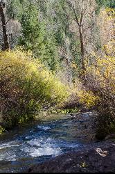
Big Elk Creek
Irwin, Idaho
15.5 miles SEA versatile campground on a small dammed lake with fishing, kayaking, hiking and backpacking into the Caribou-Targhee National Forest, and stunning fall Aspen and Douglas-Fir colors on the Big Elk Creek Trail.
Backpack, Camp, Canoe, Hike, Horseback, Kayak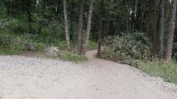
Poison Flats
Ririe, Idaho
17.2 miles NWPoison Flats is a quiet stretch of the Caribou-Targhee National Forest high country in the hills above Kelly Canyon near Ririe, in the popular recreation country east of Idaho Falls. Part of the same...
Hike 1.1 mi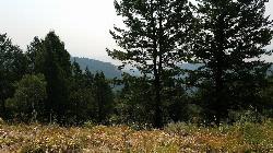
Hidden Vista / Pine Loop
Ririe, Idaho
17.8 miles NWA short singletrack trail to a canyon overlook with Snake River views — then a detour east for fun climbs, turns, rocks, and jumps on the way back to the Buckskin Morgan parking lot.
Hike, Mountain Bike 1.7 mi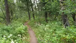
Buckskin Morgan Ridge
Ririe, Idaho
17.8 miles NWA punchy climb to Buckskin Morgan Ridge pays off with twisty singletrack descents through roots, loose rock, and rolling hills above the Snake River Plain.
Hike, Mountain Bike 3.8 mi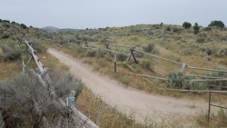
Stinking Springs
Ririe, Idaho
17.9 miles NWAn ATV and dirt bike trail that doubles as a mountain bike gem — progressively bermed switchbacks, rock rolls, and gardens lead to connections with Kelly Canyon and the broader Big Hole range.
Hike, Mountain Bike 0.6-2.2 mi
Fish Creek Area
Ririe, Idaho
17.9 miles NWThe Big Hole Mountains' Fish Creek trail network serves up singletrack climbs, floater jumps, rock gardens, and fast Fishbone descents accessed from Ririe or Rexburg.
Hike, Mountain Bike 3.8 mi
Kelly Mountain Trail
Ririe, Idaho
17.9 miles NWA moderate uphill trail open to hikers, mountain bikers, and ATVs, winding through hills with wildflower and mountain views — dogs welcome on leash.
Cross-country Ski, Hike, Mountain Bike, Snowshoe
Palisades Hot springs
Swan Valley, Idaho
18.6 miles SEPalisades Hot Springs is a wild lakeshore soak where geothermal water seeps into Idaho's Palisades Reservoir — dig your own hot tub in the sand.
Hot Springs, Swim
Blacktail Lake / Ririe Reservoir
Idaho Falls, Idaho
19.8 miles WA sprawling 1,500-acre reservoir east of Idaho Falls with a swim area, boat ramp, and miles of paddling — Blacktail Park is eastern Idaho's go-to summer cool-off.
Canoe, Swim
Indian Creek Campground (Palisades)
Irwin, Idaho
20.1 miles SEA picturesque reservoir nestled between the Snake River and Caribou ranges, just 25 miles from Jackson Hole — a beautiful drive and a wildlife-rich fishing base.
Camp, Hike, Horseback, Swim 4.6 mi
Coal Creek Trail
Alta, Wyoming
20.2 miles EA hike beyond Coal Creek Meadows to a mountain divide with dramatic views of the Mesquite Creek Valley and the peaks to the north, including Grand Teton on the horizon.
Hike, Mountain Bike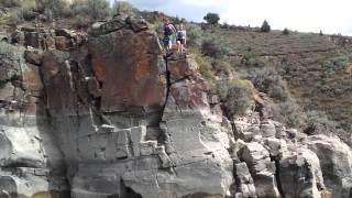
Blacktail Day Use Area
Ririe, Idaho
20.6 miles NWCliff jumping from almost nothing up to 80 feet, plus rock climbing routes, on the north end of Ririe Reservoir — $3–$5 daily fee applies.
Dive, Rock Climb, Swim
Big Feeder
Ririe, Idaho
20.6 miles NWKayak near Ririe, Idaho
Kayak 0.5-3.5 mi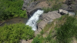
Webster's Dam
Ririe, Idaho
20.9 miles NWAn abandoned dam in Moody Creek canyon where sediment split the stream into two beautiful 15-foot waterfalls — stunning in spring runoff and blazing with fall colors.
Camp, Hike, Mountain BikeNearby Campsites
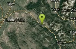
Falls Campground
Victor, Idaho
0.9 miles SEA Snake River campground near Swan Valley with cottonwood shade, abundant wildlife — eagles, osprey, moose, and deer — and Fall Creek Falls just a quarter mile away; Palisades Reservoir is 20 miles out.
Camp 2.8-4.1 mi
Palisades Creek Trail / Lakes and Waterfall Canyon
Irwin, Idaho
8.8 miles ESpectacular mountain views, two landslide-formed alpine lakes, and mountain goat sightings — all within a 4-to-6-mile hike in the Swan Valley wilderness.
Backpack, Camp, Hike, Horseback, Mountain Bike
Calamity Campground
Irwin, Idaho
11.4 miles SEA wooded Palisades Reservoir campground 55 miles east of Idaho Falls with clean blue water for swimming, boating, water skiing, and fishing — plus miles of ATV routes.
Camp, Canoe, Hike, Kayak, Mountain Bike, Swim
Pine Creek Campground
Victor, Idaho
12.5 miles NEThe Pine Creek Campground has 10 single units and has restrooms.
Camp 6.6-6.8 mi
Bear Creek Hot Springs
Irwin, Idaho
13.5 miles SETrek ~13 miles up a creek canyon near Palisades Reservoir to a secluded natural hot spring — gentle most of the way, with one rewarding final climb.
Backpack, Camp, Hike, Horseback, Hot Springs, Mountain Bike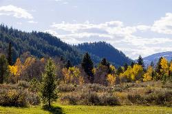
Big Elk Campground
Irwin, Idaho
15.5 miles SEA versatile campground near Palisade Reservoir with fishing, hiking, horseback riding, and kayaking — plus a small secluded lake on the drive in that's perfect for a quiet afternoon.
Camp 6.9 mi
Big Elk Creek
Irwin, Idaho
15.5 miles SEA versatile campground on a small dammed lake with fishing, kayaking, hiking and backpacking into the Caribou-Targhee National Forest, and stunning fall Aspen and Douglas-Fir colors on the Big Elk Creek Trail.
Backpack, Camp, Canoe, Hike, Horseback, Kayak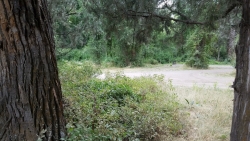
Wolf Flats Recreation Area
Ririe, Idaho
16.0 miles NWWolf Flats Recreation Area is a free, undeveloped camping area strung along the South Fork of the Snake River in the canyon country east of Idaho Falls, and it's a longtime favorite of eastern Idaho...
Camp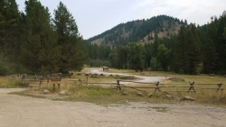
Table Rock Campground
Ririe, Idaho
16.9 miles NWA campground in Caribou-Targhee National Forest — part of a 3-million-acre stretch from Montana to the Utah and Wyoming borders — with access to the Curlew National Grassland.
Camp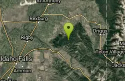
Moody Meadows
Driggs, Idaho
17.1 miles NGood place for kids, they can ride bikes in the meadow, play in the stream, and camping is off of the road. Hiking, motorbiking, and horseback riding trails are abundant in the area.
Camp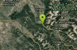
Mike Harris Campground
Victor, Idaho
17.3 miles NEA scenic mountain campground at 6,200 feet along Teton Pass just 5 miles from Victor, Idaho — a peaceful base for fishing, trail exploring, and sightseeing in the Teton region.
Camp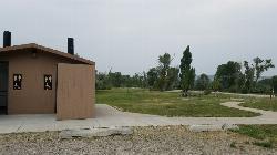
Kelly Island Campground
Ririe, Idaho
19.1 miles NWA BLM campground with 14 family sites and 1 group site for RVs or tents, open May through September — vault toilets, pets welcome, and rates from $5–$20 per night.
Camp
Paramount Wall / Blanche Rock
Ririe, Idaho
19.4 miles NWA sport climbing wall above the road near Ririe with great exposure, afternoon shade, and well-loved 5.9–5.10 lines — most routes work with a 50-meter rope, established by Chuck Oddette and crew.
Camp, Horseback, Rock Climb
Big Hole Dispersed Campsites
Ririe, Idaho
19.7 miles NWA network of dispersed campsites with fire rings in the Big Hole mountains above Kelly Canyon — first come, first served, no reservations, and Leave No Trace principles are essential.
Camp
Indian Creek Campground (Palisades)
Irwin, Idaho
20.1 miles SEA picturesque reservoir nestled between the Snake River and Caribou ranges, just 25 miles from Jackson Hole — a beautiful drive and a wildlife-rich fishing base.
Camp, Hike, Horseback, Swim 0.5-3.5 mi
Webster's Dam
Ririe, Idaho
20.9 miles NWAn abandoned dam in Moody Creek canyon where sediment split the stream into two beautiful 15-foot waterfalls — stunning in spring runoff and blazing with fall colors.
Camp, Hike, Mountain Bike
Alpine Campground
Alpine, Wyoming
23.9 miles SEA lodgepole-pine campground two miles west of Alpine near the south end of Palisades Reservoir, with boating, waterskiing, swimming, and canoeing plus excellent fishing for cutthroat, brown trout, kokanee salmon, and mackinaw.
Camp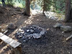
Darby Canyon Camping
Alta, Wyoming
24.0 miles NEDispersed campsites with fire lays in scenic Darby Canyon — no official campground, just established spots in Wyoming wilderness. Leave No Trace and use existing rings only.
Camp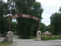
Twin Bridges Park
Rexburg, Idaho
25.2 miles NWA 27-acre Snake River park between two bridges near Rexburg with shaded campsites, fire pits, pavilions, a playground, and BLM ground for hiking and hunting on three sides.
Camp, Canoe
Reunion Flat Campground
Alta, Wyoming
30.5 miles NECamp near Alta, Wyoming
Camp


