


Red Mountain
Hurricane, Utah
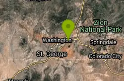
| Address: | Hurricane, UT 84737, USA |
| GPS: |
37°10'4.2"N 113°23'29.9"W Maps | Directions |
| State: | Utah |
More Information
Add Resource
- Plan Ahead and Prepare
- Travel & camp on durable surfaces
- Dispose of waste properly
- Leave what you find
- Minimize campfire impacts
- Respect wildlife
- Be considerate of other visitors
Directions
From Hurricane, Utah
- Head north on S 100 W toward State St (456 ft)
- Turn left at the 1st cross street onto W State StPass by O'Reilly Auto Parts (on the left in 0.7 mi)(6.9 mi)
- Turn right onto 5300 W/
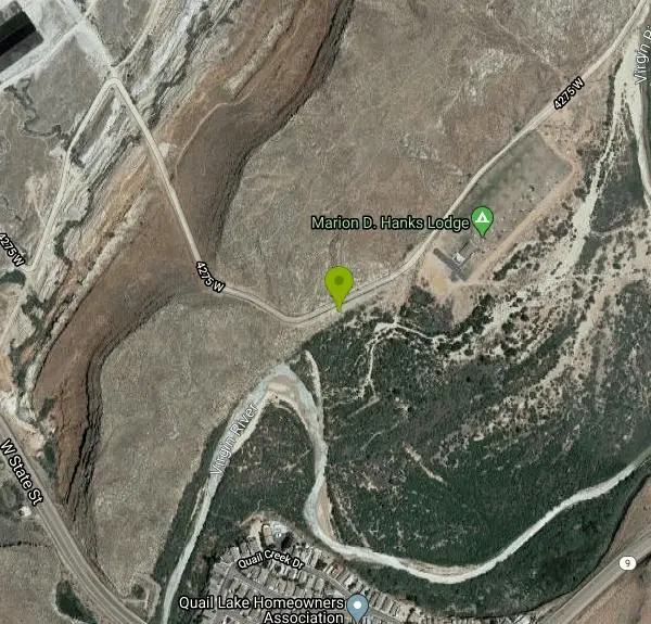
SR-318 (0.3 mi) - Turn right onto 4275 WDestination will be on the right(1.2 mi)
Other Nearby
Prospector - Church Rocks Loop
Hurricane, Utah
0.2 miles NWA flowing singletrack loop through red rock ledges, slickrock bowls, and sandy stretches, finishing with over a mile of slickrock riding and a dramatic encounter with large black volcanic rocks.
Mountain Bike
Sand Hollow State Park
Hurricane, Utah
3.3 miles SA desert reservoir near Hurricane with a cliff-jumping area, a sandy beach for swimming and paddleboarding, and vast sand dunes for ATVs — southern Utah's desert playground.
Camp, Canoe, Dive, Kayak, Swim 0.7 mi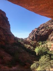
Red Reef trail
Hurricane, Utah
4.0 miles NTwo miles of red slickrock, a slot canyon, a spring waterfall, and ancient Anasazi hieroglyphs in a small cave make this an exceptional family-friendly desert hike.
Hike
Hurricane Rim trail
Hurricane, Utah
4.5 miles EA rocky singletrack rim trail above the Virgin River with slab sections, several hundred feet of exposure, and spectacular views — rideable out and back or as part of the Hurricane Loop.
Mountain Bike
Gould's Rim trail
Hurricane, Utah
4.7 miles EA rim trail along the edge of a canyon near Hurricane, Utah — starts smooth and grows rocky, with stunning views as it winds between a doubletrack climb and the Goulds trail junction.
Mountain Bike 9.4 mi
Church Rocks
Washington, Utah
5.4 miles WA nearly 6-mile red rock ride near St. George winding through sandy desert washes and smooth slick rock — a great practice run before tackling Moab's Slick Rock Trail.
Hike, Mountain Bike 11.3 mi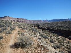
Grapevine Trail
Washington, Utah
5.6 miles WA 5-mile out-and-back trail connecting southern Utah desert, paved paths, and rocky terrain before ending at Grapevine Spring — a small waterfall cascading down red rock.
Hike, Mountain Bike 3.4 mi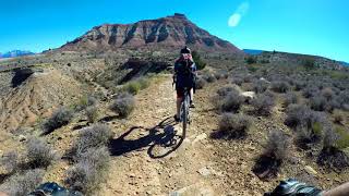
More Cowbell
Virgin, Utah
8.5 miles EA smooth 2.7-mile beginner mountain bike loop through red Utah desert bluffs — mostly flat singletrack that's also great for hikers and connects to more challenging trails.
Hike, Mountain Bike 5.1 mi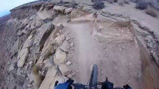
Dead Ringer
Virgin, Utah
8.5 miles EA 5-mile desert singletrack starting from the JEM trailhead near Virgin, winding through ups and downs and bottoming out in the bumpy, hoof-print-marked Goosebumps area.
Hike, Mountain Bike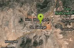
Pine View Park
Washington, Utah
8.6 miles SWA three-terrain disc golf course in Washington, Utah, designed by Eagle Scouts, with elevated tees, a Virgin River beach hole, a waterfall hole, and a splash pad for cooling off after your round.
Disc Golf
Ice House Loop
St. George, Utah
9.7 miles WA thrilling nearly all-downhill mountain bike descent of 6.8 miles dropping 2,000 feet — part of the larger Broken Mesa Loop near St. George, Utah.
Mountain Bike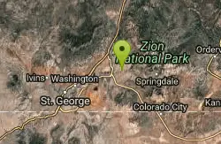
Crypto-Goosebumps
La Verkin, Utah
9.8 miles EA flowing, narrow, and at times exposed mountain bike ride linking JEM, Hurricane Rim, Cryptobionic, and Goosebumps trails through the La Verkin area of southern Utah.
Mountain Bike 7.0 mi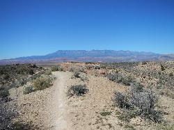
J.E.M. Trail
La Verkin, Utah
10.0 miles EA 13.27-mile round-trip mountain bike trail near Hurricane, Utah with jarring terrain and sharp turns near sheer cliffs — beautiful red rock and desert views reward the effort.
Hike, Mountain Bike
Broken Mesa Rim
St. George, Utah
10.5 miles WA climb from the Red Cliffs Desert Reserve through basalt boulders and juniper to a 5-mile twisting mesa-top descent — including a straightforward 20% grade through broken lava at the edge.
Mountain Bike
Pioneer Park
St. George, Utah
10.7 miles WIntermediate-to-advanced technical singletrack looping near Pioneer Park with great views and some fun doubletrack — follow the turtle fence as a landmark.
Mountain Bike 0.1 mi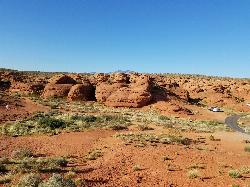
St. George Narrows
St. George, Utah
10.8 miles WA dry, 0.17-mile slot canyon in downtown St. George inside Pioneer Park — an easy intro to canyon exploration with arch, cabin, and desert garden trails in the same park.
Hike 0.3 mi
Dixie Sugarloaf / Dixie Rock
St. George, Utah
10.9 miles WDixie Rock, also known as the Dixie Sugarloaf, is St. George's most recognizable landmark: a rounded, rust-red sandstone prominence rising above the north edge of town with the word "Dixie" painted...
Hike
St. George Skate Park
St. George, Utah
11.7 miles SWA 15,000 sq. ft. concrete skatepark in J.C. Snow Park with street elements and bowls ranging from four to seven feet deep, open to skateboards, scooters, and in-line skates.
Skateboard 13.1 mi
Little Creek Mesa
Hurricane, Utah
11.8 miles SETwenty miles of interconnected red-rock singletrack across Little Creek Mesa, Gooseberry Mesa, and West Mesa, with sheer cliffs, slickrock descents, and big scenery near Hurricane.
Mountain Bike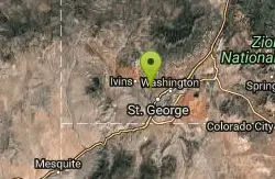
Paradise Rim/turtle Wall
St. George, Utah
11.9 miles WA fun town-accessible ride past the Turtle Wall's slickrock and along the Paradise Rim, with technical descents and optional singletrack loops on the way back.
Mountain BikeNearby Campsites
Sand Hollow State Park
Hurricane, Utah
3.3 miles SA desert reservoir near Hurricane with a cliff-jumping area, a sandy beach for swimming and paddleboarding, and vast sand dunes for ATVs — southern Utah's desert playground.
Camp, Canoe, Dive, Kayak, Swim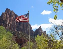
Zion National Park
Hurricane, Utah
22.6 miles EWind, water, and ice sculpted Zion's iconic red sandstone buttes, bends, and mounts into one of the most breathtaking and irreplaceable landscapes on Earth.
Camp, Hike, Mountain Bike, Swim


