


Scruffy Band Little Cottonwood Canyon
Sandy, Utah

| Address: | Little Cottonwood Cyn Rd, Utah 84092, USA |
| GPS: |
40°34'20.2"N 111°46'27.2"W Maps | Directions |
| State: | Utah |
Restrooms Trails Rocks
Rock Climb
More Information
Ice Climbing - Little Cottonwood Canyon
Ice Climbing in Little Cottonwood Canyon. Information, pictures and guide.
https://www.climb-utah.com/WM/lcc-ice.htm
- Plan Ahead and Prepare
- Travel & camp on durable surfaces
- Dispose of waste properly
- Leave what you find
- Minimize campfire impacts
- Respect wildlife
- Be considerate of other visitors
Directions
From Sandy, Utah
- Head east on E Sego Lily Dr toward S 1900 E (0.9 mi)
- Turn left onto S 2300 E/
Eastdell Dr (1.1 mi) - Turn right onto UT-209 E/
Little Cottonwood Rd (2.8 mi) - Continue straight (315 ft)
- Turn right (0.1 mi)
- Turn right (174 ft)
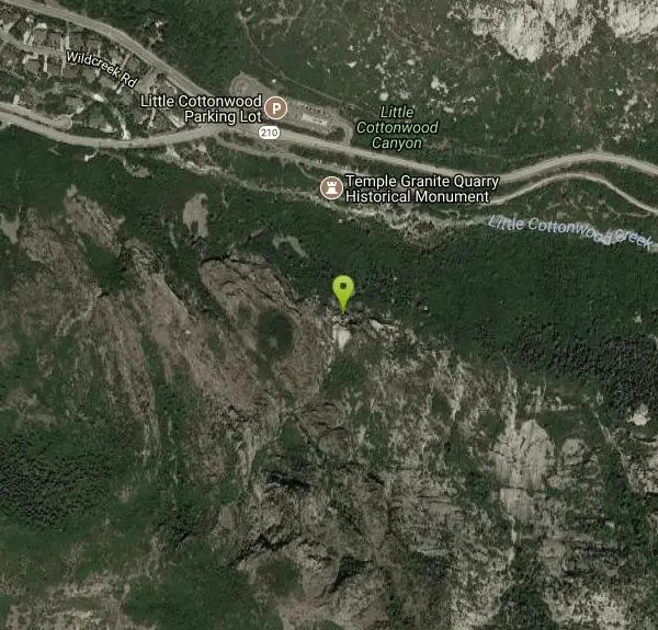
You can park at the bus stop at the mouth of the canyon and cross the road, or park at the head of the Temple Quarry Nature Trail. It's just south of the junction of Highways 209 and 210. From this parking area, follow the nature trail until you find a tangent that drops down into the creek (don't worry, I've never seen water in the creek). There is a trail up the opposite bank that goes straight up to the ice. Approach time is about 20-30 minutes. Courtesy of mountainproject.com


Other Rock Climbing Walls Nearby

Great White Icicle
Sandy, Utah
1.7 miles EAn ice climb in winter and a waterfall rappel in summer just outside Salt Lake City — the Great White Icicle in Little Cottonwood Canyon offers four shelves of ice and a bucket-list 4-to-5-hour ascent for all seasons.
Hike, Rock Climb 0.2 mi
Rocky Mouth Trail/Waterfalls
Sandy, Utah
2.4 miles SWAn easy 0.2-mile stroll from suburbia reaches a scenic waterfall at the canyon mouth, while climbers can push deeper for 60-ft and 70-ft rappels through a slot canyon.
Canyoneer, Hike, Rock Climb
Lisa Falls
Sandy, Utah
2.5 miles EA shaded granite climbing area in Little Cottonwood Canyon with polished friction faces, clean cracks, juggy overhangs, and a roaring waterfall that keeps the atmosphere cool and energizing.
Hike, Rock Climb
Ferguson Canyon
Cottonwood Heights, Utah
2.8 miles NA popular climbing destination tucked between Big and Little Cottonwood Canyons, where you can hike into a shaded canyon with a stream or push on to a rocky summit for sweeping views.
Hike, Mountain Bike, Rock Climb
Storm Mountain
Salt Lake City, Utah
3.9 miles NEA compact Wasatch peak just 3 miles up Big Cottonwood Canyon, with rock climbing routes, hiking, biking, and Big Cottonwood Creek running right alongside the day-use area.
Hike, Mountain Bike, Rock Climb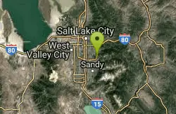
Pete's Rock
Salt Lake City, Utah
5.8 miles NA large roadside rock next to the Mount Olympus trailhead — a local favorite for casual rock climbing, with the 9,026-ft summit offering some of the best views in the Salt Lake Valley.
Hike, Rock Climb 0.2-1.8 mi
Lone Peak
Draper, Utah
5.8 miles SWOne of the Wasatch Front's taller peaks at over 11,000 feet, Lone Peak offers five different trailhead approaches, a 9-mile average round trip, rugged canyon terrain, and stunning Salt Lake valley views.
Hike, Mountain Bike, Rock Climb 0.8 mi
Red Rock Trail
Draper, Utah
7.4 miles SWA one-mile cliff-edge loop delivers sweeping Salt Lake Valley views and beginner-to-intermediate rock climbing on five walls with dental-themed route names.
Hike, Mountain Bike, Rock Climb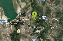
Parley's Canyon
Salt Lake City, Utah
9.6 miles NA quick-access climbing and rappelling wall over 100 feet high in Parley's Canyon at the edge of Salt Lake City — steep, almost vertical routes with I-80 framing the base and reinforcing the exposure.
Rock Climb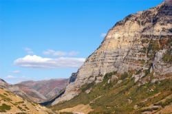
Provo Canyon
Provo, Utah
18.4 miles SEA scenic Utah canyon carved by the Provo River between Mount Timpanogos and Mount Cascade, home to Bridal Veil Falls, Vivian Park, and historic railroad rides through to Heber City.
Rock ClimbNearby Campsites

Spruces Campground
Salt Lake City, Utah
8.6 miles NEA fee campground in Big Cottonwood Canyon near Salt Lake City — check USDA.gov for current rates and seasonal availability.
Camp, Sled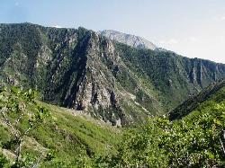
Mill Creek Canyon
Salt Lake City, Utah
9.4 miles NAn out-and-back canyon trail with over 1,000 feet of elevation gain — the lower ski trail sees heavy traffic while the upper section above Elbow Fork stays quiet, with a reservable Yurt at the top December through April.
Camp, Cross-country Ski, Snowshoe 1.6-14.1 mi
Mount Timpanogas
Provo, Utah
12.0 miles SEUtah's most-climbed mountain towers 7,000 feet above the Provo valley, stretching seven miles north to south with multiple peaks over 11,000 feet — a Wasatch landmark.
Camp, Hike, Horseback, Swim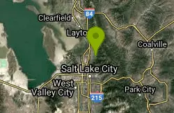
Holbrook Trailhead
Bountiful, Utah
21.7 miles NThe Holbrook Trailhead is a popular access point for the Bonneville Shoreline Trail and Holbrook Canyon above Bountiful, Utah, on the western face of the Wasatch. Perched on the bench right at the...
Airsoft, Backpack, Camp, Paintball, Snowshoe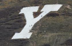
Y-Mountain Summit Trail
Provo, Utah
24.2 miles SA 1.2-mile climb east of BYU leads to a massive block Y on the hillside and sweeping panoramas over Provo, Orem, Utah Valley, and Utah Lake below.
Camp, Hike 5.6 mi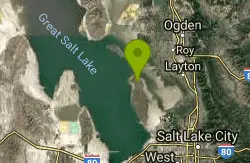
Antelope Island Lakeside Trail
Syracuse, Utah
39.6 miles NWAn easy 2-hour loop on Antelope Island around the Great Salt Lake, with rock formations, views of the Sierra Nevadas, and the GSL — kid-friendly and good for bug fans.
Camp, Hike, Horseback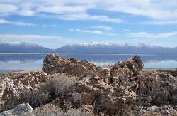
Antelope Island State Park
Syracuse, Utah
39.8 miles NWTwenty miles of trails cross Utah's Great Salt Lake island alongside free-roaming bison, antelope, and bobcats — best visited in early spring or late fall to beat the bugs.
Backpack, Camp, Hike, Horseback, Mountain Bike 4.7 mi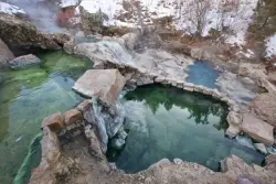
Fifth Water Hot Springs
Provo, Utah
40.3 miles SEA scenic 2.5-mile riverside hike to the famous Diamond Fork rock pools and waterfall, with soaks up to 108°.
Backpack, Camp, Hike, Hot Springs, Mountain Bike, Swim


