


Timpson Cove Beach
Clayton
Swim
Timpson Cove Beach is a public swimming beach on the east shore of Lake Burton in Rabun County, Georgia. Georgia Power owns and manages it as one of the company's North Georgia lakes recreation properties, and the company's current amenity listing for the lake shows the site with swimming, picnicking and restrooms, with no closure notice attached. Other Georgia Power sites in that same table are flagged as temporarily closed. Timpson Cove is not one of them. What is actually here is a strip of sand, a buoyed swim area, picnic tables, restrooms and a parking lot. No campground, no boat ramp, no playground, no trails.
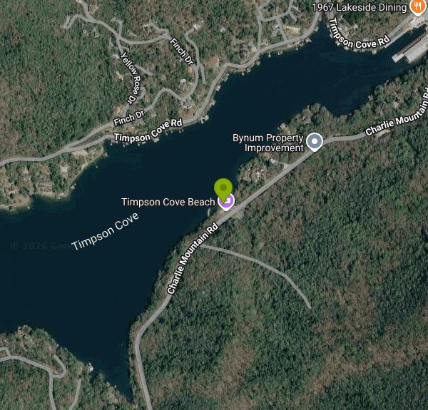
The beach sits on Charlie Mountain Road roughly nine miles southwest of Clayton, off U.S. Highway 76. Charlie Mountain Road is a two lane county route posted at 35 miles per hour that runs along this arm of the lake, and the beach shows up on the water side with a paved lot on the opposite shoulder. The lot holds maybe two dozen cars. It fills early on summer weekends, and the shoulder on either side is narrow enough that overflow parking is a bad idea.
Georgia Power posts no day use fee and no gate hours for this site, and publishes no opening or closing dates for the season. Call the North Georgia Lakes Resources Office at 706-746-1450 before a trip if any of that matters to your plans. No lifeguard is on duty. Georgia Power's water safety guidance for its reservoirs runs under the acronym SPLASH and puts supervision squarely on whoever brought the swimmer.
Lake Burton impounds the Tallulah River behind a concrete gravity dam completed in December 1919 and declared at full pool in August 1920. The reservoir covers 2,775 acres with about 62 miles of shoreline at a normal summer elevation of 1,865 feet, the highest of Georgia Power's lakes in Georgia. Depths run past 100 feet out in the old river channel. The swim area shelves gradually off the sand, but the bottom drops away beyond the buoy line and the water stays cold below the surface layer well into June.
Water level is the thing that catches people out. Georgia Power draws Burton down every winter under its FERC rule curve, historically about seven feet between November 1 and May 1, and the sand at Timpson Cove grows and shrinks with it. For the Burton and Seed Lake dam modernization work the utility ran a shallower schedule instead: one foot down by mid September, two and a half feet down from November 1, then back up to 1,865 by May 1. Check the current lake level before driving out in spring or fall.
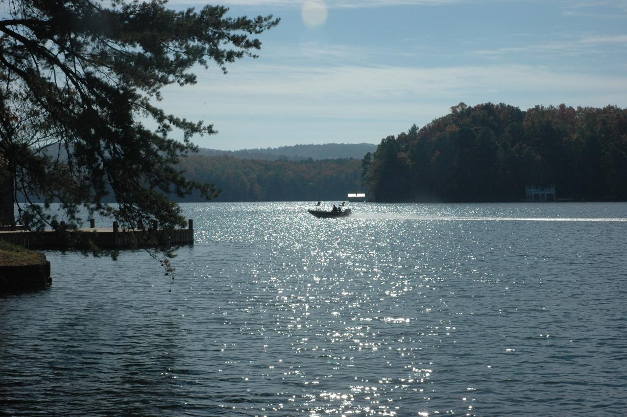
Boat traffic is the other hazard. Anchorage Marina sits about half a mile northeast and Burton is a busy recreational lake, so stay inside the marked swim area. Georgia Power also warns that generation schedules and releases from its dams change without notice and that water below the dams is dangerous, which matters if you go wandering downstream rather than staying at the cove. Moccasin Creek State Park and the Lake Burton Fish Hatchery are across the water on the west side if you want camping, a trail, or a ranger within reach.
More Information
Georgia Power Lakes | FAQs & Resources
Get answers to frequently asked questions about Georgia Power lakes and rivers, including boating, camping, and shoreline management.
https://www.georgiapower.com/our-impact/lakes-rivers/faqs-resources.htmlGeorgia Power Lakes | Water Levels
Stay updated on current water levels at Georgia Power lakes and rivers for safe and enjoyable outdoor activities.
https://www.georgiapower.com/our-impact/lakes-rivers/water-levels.htmlGeorgia Power Lakes | Water Safety
Stay informed and safe by exploring water safety tips for swimming, boating, and water sports on any of the Georgia Power lakes.
https://www.georgiapower.com/our-impact/lakes-rivers/water-safety.htmlLake Burton Civic Association
Beginning just after Labor Day, the lake will be lowered to an 1864.0 elevation which is one foot below normal summer pool to accommodate modernization efforts at our Burton and Seed Lake Dams. The lake will remain at 1864.0 or one foot down from normal until November 1.
https://lbca.net/news_manager.php?page=36895North Georgia Lakes | Georgia Power Lakes
Learn about North Georgia lakes managed by Georgia Power and how they support recreation and hydroelectric power.
https://www.georgiapower.com/our-impact/lakes-rivers/our-lakes/north-georgia-lakes.htmlTallulah River Near Clayton, GA - USGS Water Data for the Nation
Discover water data collected at monitoring location USGS-02178400, located in Rabun County, Georgia and find additional nearby monitoring locations.
https://waterdata.usgs.gov/monitoring-location/02178400/Timpson Cove Park at Lake Burton, Rabun County
Timpson Cove Park at Lake Burton, Rabun County, Georgia, Northeast Georgia Mountains, Explore Rabun, State Parks and Forest Lands
https://explorerabun.com/timpson-cove-park-at-lake-burton/
- Plan Ahead and Prepare
- Travel & camp on durable surfaces
- Dispose of waste properly
- Leave what you find
- Minimize campfire impacts
- Respect wildlife
- Be considerate of other visitors
Directions
From Clayton
- Head southwest on N Lombard St toward E Main StParts of this road may be closed at certain times or days(0.4 mi)
- Turn right onto Hamby St (430 ft)
- Turn left onto Barbour St (0.1 mi)
- Turn right onto US-70 BUS W/
Clayton Blvd/ US 70 Hwy Business W Continue to follow US-70 BUS W(6.8 mi) - Take the I-40 W ramp to Raleigh (0.7 mi)
- Merge onto I-40 (25.6 mi)
- Take exit 279B for NC-147 N toward Durham/
Downtown (0.6 mi) - Merge onto I-885 (4.1 mi)
- Slight left onto NC-147 N (8.1 mi)
- Merge onto I-85 S (40.6 mi)
- Take exit 131 for I-40 W toward I-785 N/
Greensboro/ Winston-Salem (0.4 mi) - Take the ramp to I-40 (184 ft)
- Continue onto I-40 (7.2 mi)
- Slight right onto I-40/
US-220 S (signs for Winston-Salem) Continue to follow I-40(191 mi) - Take exit 27 for US-74 toward US-19/
US-23/ Clyde/ Waynesville/ Maggie Valley/ Franklin/ Murphy/ Atlanta (0.3 mi) - Continue onto US-74 W/
Great Smoky Mountains Expy (26.0 mi) - Take exit 81 for US-23 S toward US-441 S/
Dillsboro/ Franklin/ Atlanta (0.2 mi) - Continue onto US-23 S (20.3 mi)
- Take the US-23 S/
US-441 S ramp to Clayton/ Atlanta (0.2 mi) - Merge onto US-23/
US-441 (0.4 mi) - Keep right to continue on US-23 S/
US-441 S Pass by AutoZone Auto Parts (on the left)Entering Georgia(18.8 mi) - Slight right onto N Main St/
Old 441 N Continue to follow N Main St(1.6 mi) - Turn right onto Hiawassee St (0.2 mi)
- Turn right onto US-76 W/
Hwy 76 (6.7 mi) - Turn left onto Charlie Mountain RdDestination will be on the right(0.8 mi)
 Lake Burton, the reservoir Timpson Cove Beach sits on courtesy of pseabolt↗ (CC BY 3.0↗)
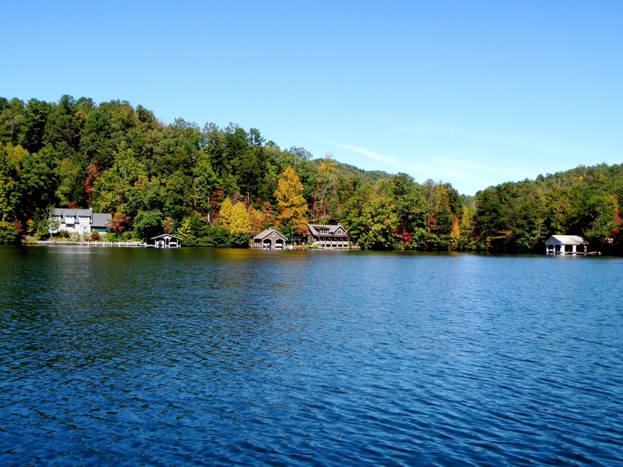
 A cove on Lake Burton in Rabun County courtesy of pseabolt↗ (CC BY 3.0↗)
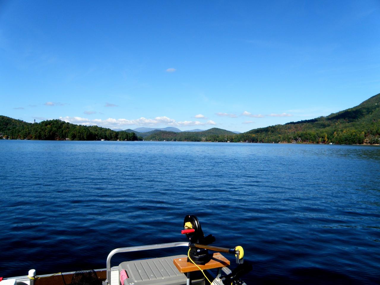
 Lake Burton from Moccasin Creek State Park across the water courtesy of pseabolt↗ (CC BY 3.0↗)
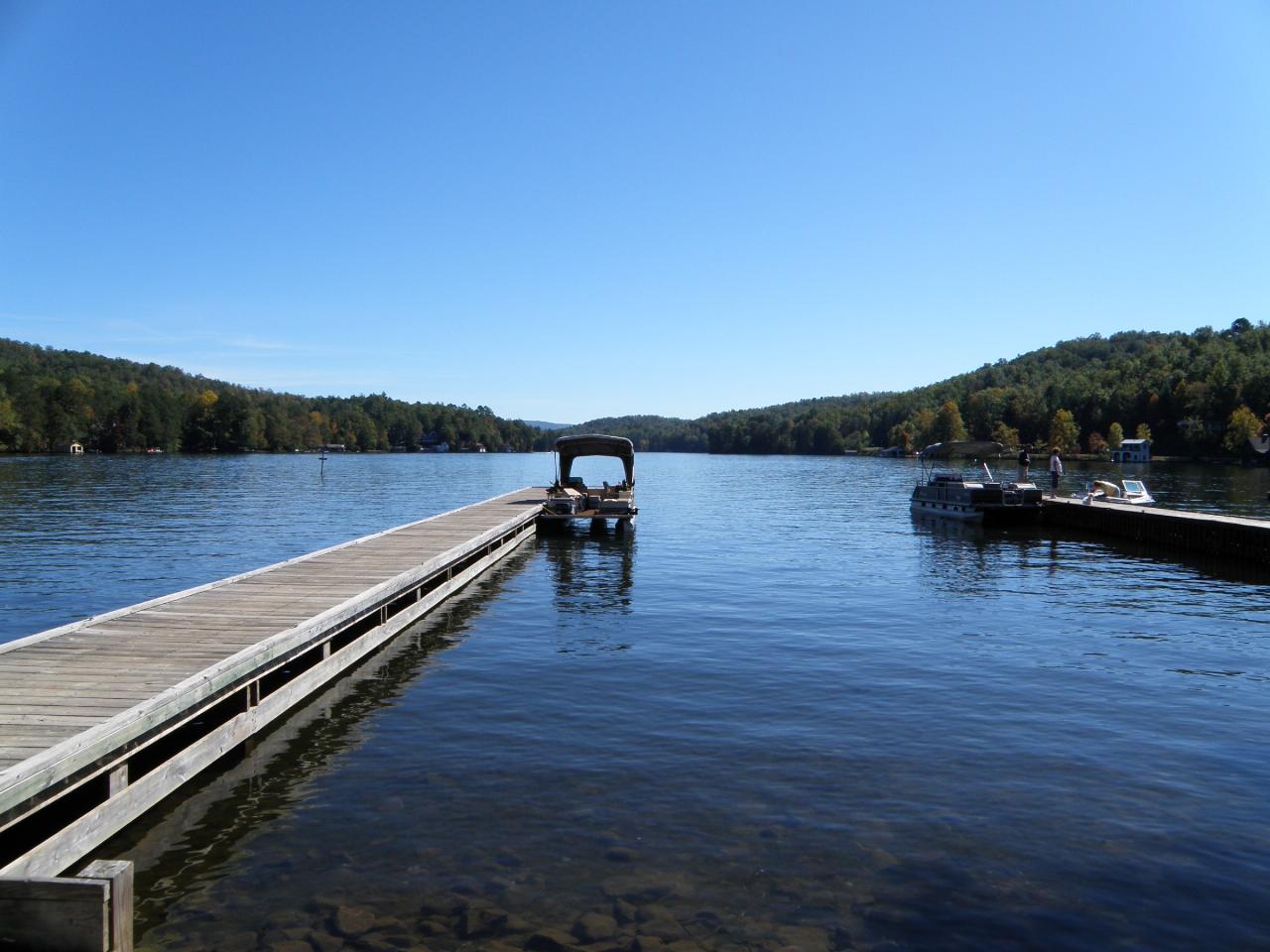
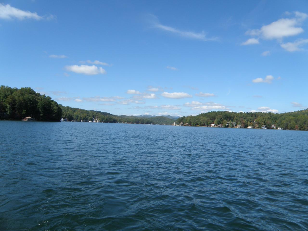
 Lake Burton near Batesville, south of Timpson Cove courtesy of pseabolt↗ (CC BY 3.0↗)
 Boat traffic on Lake Burton courtesy of JJeffTV at English Wikipedia↗ (CC BY-SA 3.0↗)
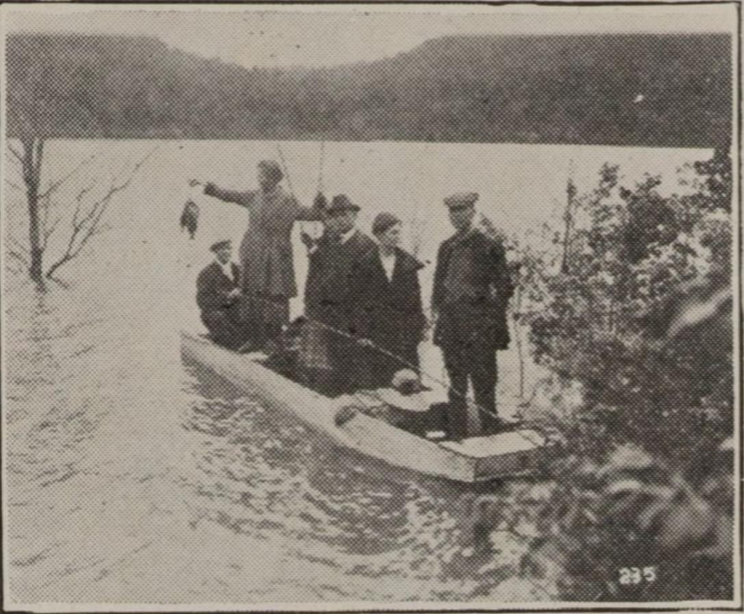
 Trout fishing on Lake Burton in 1924, four years after the reservoir filled courtesy of Unknown authorUnknown author↗ (Public domain↗)
Other Swimming Holes Nearby

Tallulah Falls Lake Beach (Terrora Day Use Area)
Tallulah Falls, Georgia
10.5 miles SESand swim beach on 63-acre Tallulah Falls Lake at Tallulah Gorge State Park's Terrora Day Use Area, with the gorge rim trails, suspension bridge and campground next door.
Camp, Hike, Kayak, Mountain Bike, Swim
Boone Area
Otto, North Carolina
12.2 miles NSwim near Otto, North Carolina
Swim
Big Laurel Falls
Otto, North Carolina
12.2 miles NSwim near Otto, North Carolina
Swim
Vogle State Park
Blairsville, Georgia
23.4 miles WA 233-acre park at the base of Blood Mountain in the Chattahoochee National Forest — one of Georgia's first state parks, founded in 1931.
Camp, Canoe, Swim
Fires Creek Area
Wake Forest, North Carolina
25.5 miles NWSwim near Wake Forest, North Carolina
Swim
Cashiers Area
Woodleaf, North Carolina
28.0 miles NESwim near Woodleaf, North Carolina
Swim
Queens Creek Lake
Nantahala, North Carolina
30.3 miles NA secluded reservoir in the Nantahala mountains with mountain reflections on still water, quality trout fishing, swimming on warm days, and a scenic drive up Winding Stairs Road.
Swim
Chattahoochee National Park
Cave Spring, Georgia
33.1 miles WSwim near Cave Spring, Georgia
Swim 1.4 mi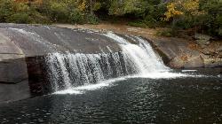
Turtleback Falls
Lake Toxaway, North Carolina
35.5 miles NETurtleback Falls' dome-shaped slide drops riders 10 feet into the Chug Hole pool, but wait for calm currents — strong flows have swept swimmers downriver over 125-foot Rainbow Falls.
Backpack, Hike, Swim 1.0 mi
Hidden Falls
Lake Toxaway, North Carolina
35.6 miles NEJust a few steps off the Horsepasture River trail, Hidden Falls drops less than ten feet into an idyllic boulder-rimmed pool — a serene and easy family swimming hole.
Hike, Swim
Fingerlake
Almond, North Carolina
35.7 miles NAn offshoot of Fontana Lake open April through October, Fingerlake offers gravel-edged swimming, kayaking, canoeing, and fishing surrounded by lush forest — with restrooms and picnic tables on site.
Canoe, Kayak, Swim 1.3 mi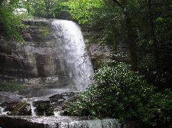
Rainbow Falls
Lake Toxaway, North Carolina
35.8 miles NEA 150-foot spectacular cascade on the Horsepasture River can be admired from front, side, bottom, and top — one showstopper in a 2-mile series of incredible falls.
Hike, Swim
Midnight Hole
Waynesville, North Carolina
36.6 miles NEMidnight Hole is the most beloved swimming hole in Great Smoky Mountains National Park, an emerald-green pool of startling clarity sitting at the base of a six-foot waterfall, ringed by house-sized...
Swim
Big Creek
Waynesville, North Carolina
36.6 miles NEBig Creek is a crystalline mountain stream tumbling through the quiet northeastern corner of Great Smoky Mountains National Park, and it may be the single best swimming creek in the Smokies. Cold,...
Swim
Bear Creek Area
Tuckasegee, North Carolina
39.4 miles NESeveral remote swimming holes in lakes along Route 281 southeast of Sylva and Cullowhee — bathing suits optional at most spots, given how far off the beaten path they are.
Swim
Big Creek Area
Tuckasegee, North Carolina
39.4 miles NESeveral remote swimming holes near the TN-NC border in the Big Creek Recreation Area of the Great Smoky Mountains — very secluded, and dogs are not allowed on the trail.
Swim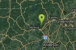
Todd Creek Falls
Central, South Carolina
40.6 miles EA short hike leads to Todd Creek Falls and a deep, gradually entered pool at the base — a relaxed clothing-optional spot in the South Carolina upstate woods.
Swim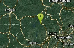
Moonshine Falls Area
Bishopville, South Carolina
41.1 miles ESwim near Bishopville, South Carolina
Swim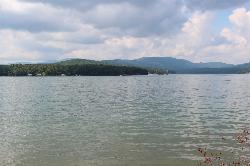
Morganton Point Recreation Area
Morganton, Georgia
41.5 miles WForest Service swim beach, campground and boat ramp on a wooded point jutting into Lake Blue Ridge, two miles from the town of Morganton.
Camp, Canoe, Hike, Kayak, Swim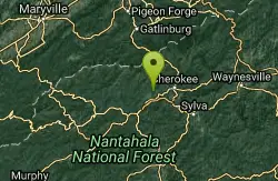
Deep Creek Area
Wallace, North Carolina
42.9 miles NSwim near Wallace, North Carolina
SwimNearby Campsites
War Woman Dell Wildlife Management Area
Clayton, Georgia
9.9 miles EA short 0.8-mile out-and-back hike near Clayton, Georgia through a nature trail to a waterfall — good for all skill levels and accessible year-round.
Camp, Hike, Horseback
Tallulah Falls Lake Beach (Terrora Day Use Area)
Tallulah Falls, Georgia
10.5 miles SESand swim beach on 63-acre Tallulah Falls Lake at Tallulah Gorge State Park's Terrora Day Use Area, with the gorge rim trails, suspension bridge and campground next door.
Camp, Hike, Kayak, Mountain Bike, Swim
Vogle State Park
Blairsville, Georgia
23.4 miles WA 233-acre park at the base of Blood Mountain in the Chattahoochee National Forest — one of Georgia's first state parks, founded in 1931.
Camp, Canoe, Swim
Mt. LeConte Lodge
Sylva, North Carolina
40.0 miles NThe highest guest lodge in the eastern United States at 6,400 feet, with spectacular Smokies views from an open glade just below the Mt. LeConte summit in Great Smoky Mountains NP.
Camp, Hike, Horseback, Rock Climb
Morganton Point Recreation Area
Morganton, Georgia
41.5 miles WForest Service swim beach, campground and boat ramp on a wooded point jutting into Lake Blue Ridge, two miles from the town of Morganton.
Camp, Canoe, Hike, Kayak, Swim
Davis Branch
Tellico Plains, Tennessee
43.9 miles NWA riverside campground on the Tellico River with six campsites, each with a picnic table — a peaceful Tennessee base camp for hiking, fishing, and campfire nights.
Camp, Hike, Swim


