


Mount Jefferson
Island Park, Idaho
| Address: | Mount Jefferson, Idaho 83429, USA |
| GPS: |
44°33'14.8"N 111°26'42.6"W Maps | Directions |
| State: | Idaho |
| Trails/Routes: | 7.6 mi |
Hike
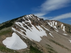
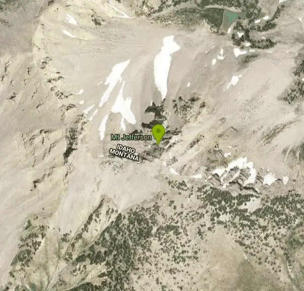
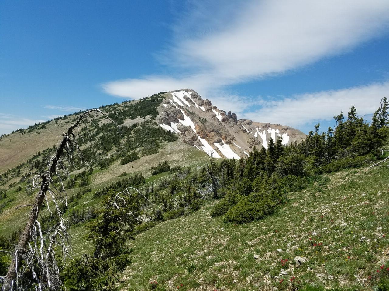
Mount Jefferson, at 10, 203 feet is the highest point in the Centennial Mountains, a small, local range on the border of Idaho and Montana a little west of Yellowstone. These mountains consist of a long ridge line the forms the Continental Divide between the headwaters of the Snake River and Jefferson River, which is primary headwater stream of the Missouri River. The summit area is composed of two primary ridge points with a lower point in between and a high ridge point to the east. The west ridge point is 10,161 feet, the smaller central point is approximately 10,140 feet and the separated eastern point is about 9,800 feet. Courtesy of summitpost.org
More Information
Mount Jefferson : Climbing, Hiking & Mountaineering : SummitPost
Mount Jefferson : SummitPost.org : Climbing, hiking, mountaineering
https://www.summitpost.org/mount-jefferson/530492Be courteous, informed, and prepared. Read trailhead guidelines, stay on the trail, and don't feed the wildlife.
Read More
- Plan Ahead and Prepare
- Travel & camp on durable surfaces
- Dispose of waste properly
- Leave what you find
- Minimize campfire impacts
- Respect wildlife
- Be considerate of other visitors
Directions
From Island Park, Idaho
- Head north on US-20 E toward Forest Rd 139 (7.1 mi)
- Turn left onto Sawtelle Peak RdDestination will be on the left(9.7 mi)




Other Hiking Trails Nearby
Lake Marie
Island Park, Idaho
0.0 miles NA high Continental Divide hike across the Idaho-Montana border to a cold, snowmelt-fed lake in a wildflower meadow — water level shifts dramatically from spring to fall.
Backpack, Hike 2.9 mi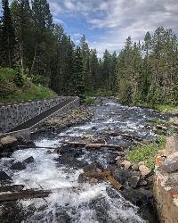
Box Canyon Trail
Island Park, Idaho
10.0 miles SA scenic 3-mile riverside singletrack along Henry's Fork in Box Canyon — open to OHVs under 50 inches wide, with river views most of the trail and great trout fishing.
Hike, Mountain Bike 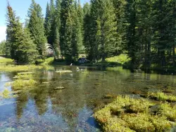
Big Springs
Island Park, Idaho
10.1 miles SEA Big Springs campground shaded by Lodgepole Pines on Henry's Fork — with a 1-mile interpretive trail, fish feeding under the bridge, the historic Johnny Sack Cabin, and access to the Mesa Falls Scenic Byway.
Camp, Hike 0.6-4.7 mi
Harriman State Park
Island Park, Idaho
16.0 miles SAn 11,000-acre wildlife refuge 38 miles from Yellowstone along Henry's Fork — world-class fly-fishing, hiking among wildflowers and wildlife, plus 24 miles of Nordic ski trails in winter.
Cross-country Ski, Hike, Horseback, Mountain Bike, Snowshoe 4.8 mi
Aldous Lake and Hancock Lake
Kilgore, Idaho
19.8 miles WTwin alpine lakes — Aldous and Hancock — on a scenic 1.5-to-2.5-mile hike near Kilgore, with beautiful mountain scenery and heavier weekend crowds.
Backpack, Camp, Hike, Horseback, Swim 
Sheep Falls on Henry's Fork
Island Park, Idaho
24.6 miles SA 25-foot waterfall cascading through a narrow basalt chute on the North Fork of the Snake River — a pleasant, rarely crowded hike compared to nearby Mesa Falls.
Hike 14.8 mi
Biscuit Basin to Fairy Falls and Firehole Meadows
Old Faithful, Yellowstone National Park
25.9 miles EA nearly 15-mile backcountry hike starting at Biscuit Basin passes turquoise pools, a 70-foot waterfall, Firehole Meadows, Imperial Geyser, and three stunning blue lakes with rust-red shores.
Backpack, Camp, Hike 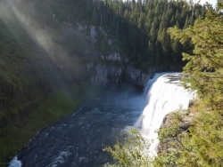
Mesa Falls
Ashton, Idaho
25.9 miles SUpper Mesa Falls drops 114 feet and spans 300 feet across the Henrys Fork — just 0.2 miles of paved walkway from the parking lot, with platforms, handrails, and morning rainbow mist.
Cross-country Ski, Hike, Kayak 
Pine Butte / The Caldera
St. Anthony, Idaho
27.4 miles SWAn old volcano in the Idaho desert that feels like stepping into a mountain forest — pine-covered hillsides, a meadow ringed by aspen and boulders, and a quarter-mile easy trail to the caldera floor.
Camp, Hike, Horseback 17.5 mi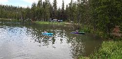
Tear Drop Lake
Ashton, Idaho
27.7 miles SEA small, lively lake in the Targhee forest for kayaking, swimming, and an easy loop trail — family fun with primitive lakeside camping.
Camp, Canoe, Hike, Kayak, Mountain Bike, Swim 0.8 mi
Harlequin Lake Trail
Madison, Yellowstone National Park
28.1 miles EA half-mile stroll through peaceful pine forest leads to a lily-pad-covered lake frequented by Harlequin ducks and other waterfowl — quiet and uncrowded even in busy Yellowstone.
Hike 0.3-0.6 mi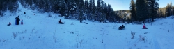
Bear Gulch
Ashton, Idaho
28.9 miles SAn abandoned ski hill from 1969 with overgrown runs that still deliver great sledding — the lower run is fast and winding all the way down to the old ski lift.
Camp, Cross-country Ski, Hike, Sled 0.3-0.5 mi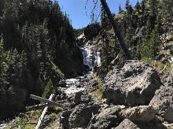
Mystic Falls
Old Faithful, Yellowstone National Park
29.6 miles EA lesser-known Yellowstone gem — a 70-foot cascading waterfall on Little Firehole River surrounded by quiet forest, with short and long viewing trails both described as easy.
Hike 6.1 mi
Purple Mountain Trail
Madison, Yellowstone National Park
29.7 miles EA quiet 6-mile out-and-back through dense Yellowstone forest, climbing 1,500 feet to the peak of Purple Mountain for panoramic views of the Madison and Gibbon rivers.
Hike 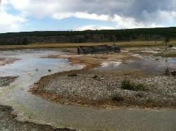
Sentinel Meadows & Queen's Laundry
Madison, Yellowstone National Park
30.0 miles EAn easy Yellowstone hike through open meadows along the Firehole River to flaming red hot springs and the historic Queen's Laundry bath-house ruins from the 1800s.
Hike 0.7 mi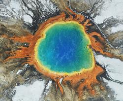
Grand Prismatic Spring
Old Faithful, Yellowstone National Park
30.1 miles EThe largest hot spring in the United States sits in Yellowstone's Midway Geyser Basin — a vivid rainbow of thermophilic colors that makes Grand Prismatic Spring a must-see.
Hike 1.5-5.0 mi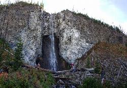
Fairy Falls
Old Faithful, Yellowstone National Park
30.3 miles EA 197-foot wispy waterfall deep in Yellowstone, along a mostly flat trail past Grand Prismatic Spring — at its most magical in spring snowmelt, quieter than the crowded geyser basin stretches.
Hike 2.0 mi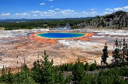
Grand Prismatic Spring Overlook Trail
Old Faithful, Yellowstone National Park
30.3 miles EA 1.2-mile forested round-trip trail climbing to a sweeping overlook of the Grand Prismatic Spring and entire Midway Geyser Basin — the rainbow colors are best seen from above.
Hike 3.2-47.0 mi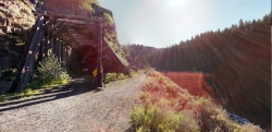
Yellowstone Branch Line Trail
Ashton, Idaho
30.7 miles SA 39-mile trail from Warm River to the Montana border — open to backpackers, hikers, mountain bikers, horseback riders, and ATVs through the Targhee National Forest.
Backpack, Cross-country Ski, Hike, Horseback, Mountain Bike 
Old Faithful Geyser
Old Faithful, Yellowstone National Park
31.1 miles EOld Faithful has erupted every 44 to 125 minutes since 2000, making it one of the world's most predictable geysers — a must-see centerpiece of Yellowstone National Park.
HikeNearby Campsites
Upper Coffee Pot Campground
Island Park, Idaho
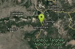
5.8 miles SEHenry's Fork of the Snake River winds through a lodgepole pine forest past this campground, offering fly-fishing for rainbow and brook trout and easy tubing and canoeing.
Camp, Canoe 0.9 mi
Buffalo River Campground
Island Park, Idaho
9.6 miles SEAn easy, clear, and often warm float on the Buffalo River near Island Park, with slow enough current to paddle back upstream in a canoe or kayak after your run.
Camp, Canoe, Kayak, Swim
Big Springs
Island Park, Idaho
10.1 miles SEA Big Springs campground shaded by Lodgepole Pines on Henry's Fork — with a 1-mile interpretive trail, fish feeding under the bridge, the historic Johnny Sack Cabin, and access to the Mesa Falls Scenic Byway.
Camp, Hike 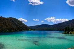
Wade Lake
Cameron, Montana
18.5 miles NWade Lake is a hidden gem of southwestern Montana — a spring-fed mountain lake famous for its glassy, aquamarine water, tucked into a forested ravine at the southern end of the Gravelly Range....
Camp, Canoe, Kayak, Swim 4.8 mi
Aldous Lake and Hancock Lake
Kilgore, Idaho
19.8 miles WTwin alpine lakes — Aldous and Hancock — on a scenic 1.5-to-2.5-mile hike near Kilgore, with beautiful mountain scenery and heavier weekend crowds.
Backpack, Camp, Hike, Horseback, Swim 14.8 mi
Biscuit Basin to Fairy Falls and Firehole Meadows
Old Faithful, Yellowstone National Park
25.9 miles EA nearly 15-mile backcountry hike starting at Biscuit Basin passes turquoise pools, a 70-foot waterfall, Firehole Meadows, Imperial Geyser, and three stunning blue lakes with rust-red shores.
Backpack, Camp, Hike
Pine Butte / The Caldera
St. Anthony, Idaho
27.4 miles SWAn old volcano in the Idaho desert that feels like stepping into a mountain forest — pine-covered hillsides, a meadow ringed by aspen and boulders, and a quarter-mile easy trail to the caldera floor.
Camp, Hike, Horseback 17.5 mi
Tear Drop Lake
Ashton, Idaho
27.7 miles SEA small, lively lake in the Targhee forest for kayaking, swimming, and an easy loop trail — family fun with primitive lakeside camping.
Camp, Canoe, Hike, Kayak, Mountain Bike, Swim 0.3-0.6 mi
Bear Gulch
Ashton, Idaho
28.9 miles SAn abandoned ski hill from 1969 with overgrown runs that still deliver great sledding — the lower run is fast and winding all the way down to the old ski lift.
Camp, Cross-country Ski, Hike, Sled 
Madison Campground
Madison, Yellowstone National Park
29.1 miles EA partly wooded riverside campground at 6,800 feet in Yellowstone, close to Old Faithful and the geyser basins, with great fishing on the Madison River and 270-plus individual sites.
Camp 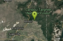
Warm River Campground
Ashton, Idaho
30.7 miles SSlow-moving warm water and willow-lined banks make this campground a perfect spot for tubing, trout fishing, and peaceful mountain biking at 5,200 ft elevation.
Camp 
Horseshoe Lake
Ashton, Idaho
32.0 miles SEA lily-pad-dotted lake hidden in the Targhee National Forest with a gradual beach entry perfect for wading, a floating dock for jumping, and no motorized boats.
Camp, Canoe, Dive, Swim 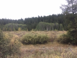
Porcupine Creek
Ashton, Idaho
34.1 miles SA backcountry hunting, fishing, camping, and swimming spot in Targhee National Forest, surrounded by forests, meadows, a creek, and unmarked trails — bear country, so pack and store food carefully.
Camp, Swim 
Cave Falls of Yellowstone
Ashton, Idaho
36.0 miles SEA campground right on the Fall River along Yellowstone's south boundary puts you steps from legendary fishing, with fire rings and bear-proof boxes at each site.
Camp, Hike 
Sheep Falls on Fall River
Ashton, Idaho
37.1 miles SEA local gem off Cave Falls Road where the river splits into multiple falls tumbling over each other — primitive campsites and beautiful views make it a great picnic stop.
Camp 
Norris Campground
Norris, Yellowstone National Park
38.9 miles ECentrally located in Yellowstone NP, this campground puts you within a short drive of Grand Canyon of the Yellowstone, Hayden Valley, Old Faithful, and Yellowstone Lake.
Camp 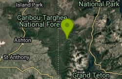
Loon Lake
Ashton, Idaho
39.1 miles SELoon Lake is a small, lively mountain lake tucked into the Caribou-Targhee National Forest just off Ashton's Fish Creek Road, in the timbered high country of eastern Idaho near the gateway to...
Camp, Kayak, Swim 
Stoddard Creek
Spencer, Idaho
39.2 miles WA campground just 1 mile off I-15 and 17 miles north of Dubois, surrounded by trails and wildlife in scenic high desert — an easy-access base for exploring northern Idaho's backcountry.
Camp 
Indian Creek Campground Yellowstone
Mammoth Hot Springs, Yellowstone National Park
41.5 miles NEIndian Creek Campground is a quiet, wooded, tent-friendly Yellowstone campground near Mammoth Hot Springs, big on wildlife and peace.
Camp 0.8-3.8 mi
Little Gibbon Falls
Norris, Yellowstone National Park
41.6 miles EA family-friendly 4.5-mile Yellowstone loop reaches fishing and swimming spots along Gibbon Creek, with kid-safe trail, canoeing options, and bearspray-worthy backcountry feel.
Camp, Canoe, Hike


