


Nichol's Landing
New Braunfels, Texas
| Address: | Old Spring Branch Road, Spring Branch, TX, USA |
| GPS: |
29°52'14.1"N 98°26'4.5"W Maps | Directions |
| State: | Texas |
Rivers Fall Colors Fishing
Canoe, Kayak, and Swim
Nichol’s Landing is a unique spot on the Upper Guadalupe River. Nichol's Landing is the area where the Upper Guadalupe River can be accessed with the most ease. Unlike most other access areas, Nichol's Landing had off road parking close to the river, making it easy to reach the river without strenuous hiking.This ease of access makes Nichol’s landing a unique and valuable put in or take out point for kayaks and canoes.
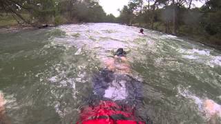
The depth and rapids on the Upper Guadalupe River vary from day to day. Most of the time beginners can navigate these waters in canoes, kayaks or tubes.
In addition to being a great point to begin or end a floating journey, Nichol’s landing is a great swimming hole. There is a sandbar that narrows the river into a smaller channel and a rope swing hanging from a cypress tree.
The Upper Guadalupe River is lined with beautiful cypress trees and limestone shelves. These unique views can be enjoyed by visitors as they participate in their various activities.
Fishing is allowed at Nichol’s Landing. This section of the Guadalupe River is home to several types of bass, carp, crappie, gar and catfish. Small lures and a light line are recommended and Texas fishing regulations apply.
Before participating in any activity on this river, it is recommended that visitors check the rate of the rivers flow. The river is safe for any activity when its flow is between 100 and 800 cubic feet per second. Flow rates can be found online using www.wordcc.com or waterdata.usgs.gov.
Whether you are swimming, fishing, floating or paddling you will enjoy your day on the Upper Guadalupe River at Nichol’s Landing.
More Information
Day Trips
Nichol's Landing Paddling Trail lends access to the many swimming, paddling, and water-related delights of the Upper Guadalupe River
https://www.austinchronicle.com/columns/day-trips-11740883/Upper Guadalupe – Nichol's Landing Paddling Trail - TPWD
We're sorry, some parts of the TPWD website don't work properly without JavaScript enabled.
https://tpwd.texas.gov/boating/paddling-trails/hill-country/upper-guadalupe/
- Plan Ahead and Prepare
- Travel & camp on durable surfaces
- Dispose of waste properly
- Leave what you find
- Minimize campfire impacts
- Respect wildlife
- Be considerate of other visitors
Directions
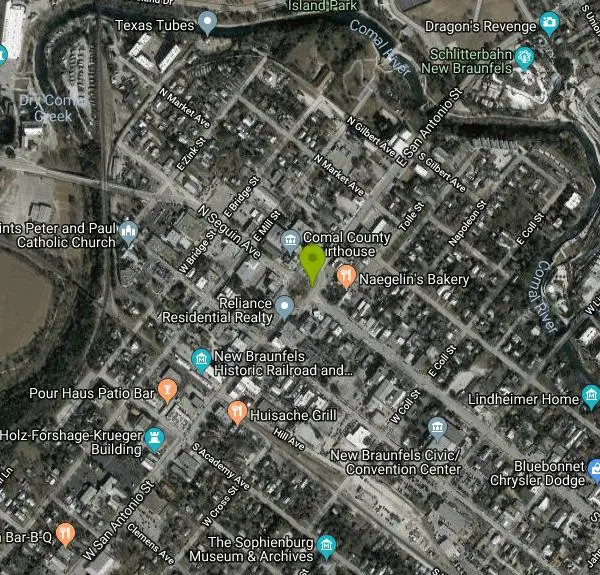
From New Braunfels, Texas
- Head northeast on Main Plaza/State Spur 453 toward E San Antonio St (318 ft)
- Turn right onto N Seguin Ave/State Spur 453Continue to follow N Seguin Ave(0.2 mi)
- Continue onto Landa St (0.9 mi)
- Turn right onto N Walnut Ave (1.3 mi)
- Continue onto TX-46 E (12.4 mi)
- Turn right onto FM311 N (1.8 mi)
- Continue straight onto FM311 W (6.0 mi)
- Turn right onto Knibbe Rd (0.2 mi)
- Turn right onto US-281 N (0.4 mi)
- Turn left onto County Rd 71/Spring Branch RdContinue to follow Spring Branch Rd(2.8 mi)
- Turn left onto Old Spring Branch Rd (0.3 mi)
- Turn left onto HildebrandDestination will be on the left(1.3 mi)


Other Swimming Holes, Canoeing Areas, and Kayaking Areas Nearby
Guadalupe River State Park
Spring Branch, Texas
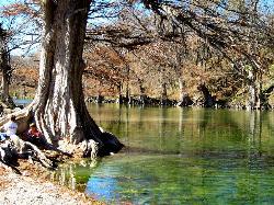
3.3 miles WOver 4 miles of Guadalupe River frontage for swimming, fishing, wading, tubing, kayaking, and canoeing — plus 13 miles of trails and 85 campsites in a scenic Texas Hill Country state park.
Canoe, Hike, Horseback, Kayak, Mountain Bike, Swim
Blanco State Park
Blanco, Texas
15.1 miles NA spring-fed park on the Blanco River with a multi-level dam creating beautiful waterfall views — ideal for swimming, kayaking, canoeing, fishing, and camping on a mile of riverfront.
Camp, Canoe, Hike, Kayak, Swim
Boerne
Boerne, Texas
18.3 miles WSwim near Boerne, Texas
Swim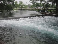
Landa Park
New Braunfels, Texas
20.9 miles SEThree spring-fed pools at 72°F year-round, a fishing pier, paddleboat rentals, and paved trails around Comal Springs — Landa Park is New Braunfels' all-day family oasis.
Hike, Swim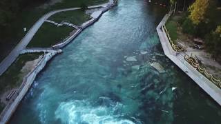
Prince Solms Park
New Braunfels, Texas
21.9 miles SEStrikingly blue Comal River water and the City Tube Chute — the largest dam-carved water slide of its kind — make Prince Solms a New Braunfels standout.
Disc Golf, Swim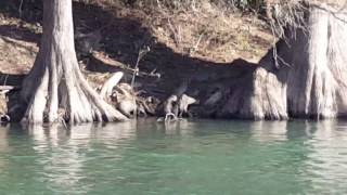
Cypress Bend Park
New Braunfels, Texas
22.5 miles SEFifteen tree-lined acres on the Guadalupe River with a playground, horseshoe pits, and a river that swings from a calm swim to a pleasant wading spot depending on the day's flow.
Swim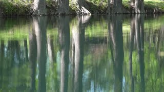
Blue Hole at Wimberley
Wimberley, Texas
22.7 miles NEClear blue water under spectacular cypress trees, with beginner and advanced rope swings, 4.5 miles of free shaded hiking trails, and a sand volleyball court — reservations required at $12 for adults.
Hike, Swim
San Marcus City Park
San Marcos, Texas
29.9 miles EAn 18-acre city park on the clear San Marcos River with walking trails, river access for kayaks and tubes, swimming in deep clear water, basketball courts, and a playground for all ages.
Canoe, Hike, Kayak, Mountain Bike, Swim
Sewell Park
San Marcos, Texas
30.0 miles EA 72-degree, crystal-clear San Marcos River running through a Texas State University campus park, with tube and kayak rentals, volleyball, and open lawns — free and open to all.
Canoe, Disc Golf, Kayak, Swim
San Marcos Area
Del Rio, Texas
30.0 miles ESwim near Del Rio, Texas
Swim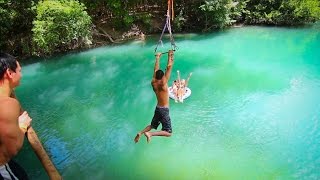
John Stokes Rope Swing
San Marcos, Texas
30.1 miles EA tall, well-built rope swing over the San Marcos River off Thompson Island — climb the plank ladder and whip out over the water.
Dive, Swim
Pedernales Falls
Johnson City, Texas
33.8 miles NLimestone waterfalls and downstream pools of varying depth make Pedernales Falls a classic Texas swimming hole — wade, swim, hike, and camp all in one state park visit.
Camp, Hike, Horseback, Mountain Bike, Swim
Pedernales Area
Perryton, Texas
34.1 miles NSwim near Perryton, Texas
Swim
Kerrville Area
Lampasas, Texas
44.1 miles WSwim near Lampasas, Texas
Swim
Krause Springs
Spicewood, Texas
45.2 miles NCamp and Swim near Spicewood, Texas
Camp, Swim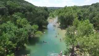
Twin Falls
Austin, Texas
45.3 miles NETwin Falls is one of the best waterfall-and-swimming-hole hikes in Texas, a scenic stretch of Austin's beloved Barton Creek Greenbelt where the creek pours over limestone ledges into clear, cool...
Hike, Swim
Sculpture Falls
Austin, Texas
45.4 miles NESculpture Falls is a beloved Barton Creek Greenbelt swimming hole in Austin, where the creek carves clear pools into sculpted limestone ledges.
Hike, Swim
Hill Of Life
Austin, Texas
45.8 miles NEThe Hill of Life is the steepest, most notorious stretch of Austin's Barton Creek Greenbelt, a rugged climb (or descent) at the western end of the Greenbelt near the Scottish Woods trailhead that...
Hike, Swim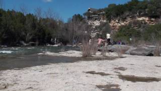
Campbell's Hole, Austin, TX, USA
Austin, Texas
47.2 miles NECampbell's Hole is one of Austin's best-loved swimming holes, a deep, cold, spring-fed pool on Barton Creek in the heart of the Barton Creek Greenbelt. Sitting about half a mile up the creek from the...
Hike, Swim
Upper McKinney Falls Swimming Hole
Austin, Texas
47.6 miles NESwimming below the Upper Falls of Onion Creek at McKinney Falls State Park, a limestone swimming hole 13 miles from the Texas Capitol in southeast Austin.
Camp, Hike, Mountain Bike, SwimNearby Campsites
Blanco State Park
Blanco, Texas
15.1 miles NA spring-fed park on the Blanco River with a multi-level dam creating beautiful waterfall views — ideal for swimming, kayaking, canoeing, fishing, and camping on a mile of riverfront.
Camp, Canoe, Hike, Kayak, Swim
Pedernales Falls
Johnson City, Texas
33.8 miles NLimestone waterfalls and downstream pools of varying depth make Pedernales Falls a classic Texas swimming hole — wade, swim, hike, and camp all in one state park visit.
Camp, Hike, Horseback, Mountain Bike, Swim
Krause Springs
Spicewood, Texas
45.2 miles NCamp and Swim near Spicewood, Texas
Camp, Swim
Upper McKinney Falls Swimming Hole
Austin, Texas
47.6 miles NESwimming below the Upper Falls of Onion Creek at McKinney Falls State Park, a limestone swimming hole 13 miles from the Texas Capitol in southeast Austin.
Camp, Hike, Mountain Bike, Swim


