


San Marcus City Park
San Marcos, Texas

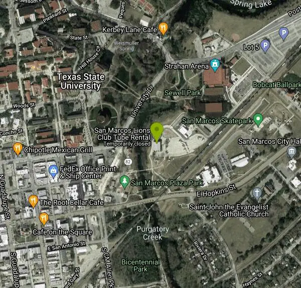
| Address: | City Park, 170 Charles Austin Dr, San Marcos, TX 78666, USA |
| GPS: |
29°53'9.7"N 97°56'6.4"W Maps | Directions |
| State: | Texas |
Restrooms Picnic Tables Rivers Trails Pet Friendly
Canoe, Hike, Kayak, Mountain Bike, and Swim
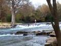
San Marcus City Park is a popular cool off spot on the San Marcus River. This beautiful clear river is surrounded by lush greenery, giving beautiful views to those who walk the trails of this 18 acre park.
In addition to several miles of walking trails, the park has open basketball courts, a playground, restrooms and a picnic area. Making this the perfect spot to spend the day enjoying the outdoors with loved ones of any age.
San Marcus City Park is best known for it's river access point, allowing canoes, kayaks and other floating devices to enter and exit the water. Swimming is also enjoyed by many visitors. The access to this deep clear water makes this an irresistible destination for cooling off on warm days.
More Information
Facilities • City Park
View information about facilities in the community.
https://www.sanmarcostx.gov/facilities/facility/details/City-Park-35San Marcos City Park | San Marcos, TX
The 18-acre parkland offers picnic tables, playscape equipment, a blacktop basketball court, and connects to the city's three-mile jogging trails. Lions Club Tube Rental and the Pauline Espinosa Community Hall are located in City Park. Effective July 1, 2025, parking fees will be implemented at City Park. • City of San Marcos residents: Free (must register vehicle) • First 30 minutes: Free • 30 Minutes to one hour: $5 • One to two hours: $10 • Three or more hours, including all day: $15 • Holiday and special events: $25 flat rate Payment can be made at an on-site kiosk or through a pay-by-phone app. Exact change and credit card accepted.
https://www.visitsanmarcos.com/listing/san-marcos-city-park/63/Never modify trail features. Ride trails when they're dry enough that you won't leave ruts. Speak up when you see others on the trail and always yield to hikers, horses, and others coming uphill. Always ride on the established trail.
Read MoreBe courteous, informed, and prepared. Read trailhead guidelines, stay on the trail, and don't feed the wildlife.
Read More
- Plan Ahead and Prepare
- Travel & camp on durable surfaces
- Dispose of waste properly
- Leave what you find
- Minimize campfire impacts
- Respect wildlife
- Be considerate of other visitors
Directions
From San Marcos, Texas
- Head south on N Guadalupe St toward W Hopkins St (75 ft)
- Turn left at the 1st cross street onto E Hopkins StPass by Goodyear Auto Service (on the left)(0.8 mi)
- Turn left onto Charles Austin Dr (0.2 mi)
- Turn left onto Jowers Access Rd (0.2 mi)
- Keep left (39 ft)
- Turn right (374 ft)
- Continue straight (249 ft)

Other Mountain Bike Trails, Swimming Holes, Hiking Trails, Canoeing Areas, and Kayaking Areas Nearby

Sewell Park
San Marcos, Texas
0.2 miles NEA 72-degree, crystal-clear San Marcos River running through a Texas State University campus park, with tube and kayak rentals, volleyball, and open lawns — free and open to all.
Canoe, Disc Golf, Kayak, Swim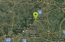
San Marcos Area
Del Rio, Texas
0.5 miles SSwim near Del Rio, Texas
Swim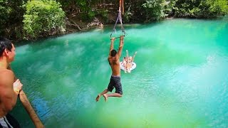
John Stokes Rope Swing
San Marcos, Texas
1.0 miles SA tall, well-built rope swing over the San Marcos River off Thompson Island — climb the plank ladder and whip out over the water.
Dive, Swim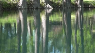
Blue Hole at Wimberley
Wimberley, Texas
12.2 miles NWClear blue water under spectacular cypress trees, with beginner and advanced rope swings, 4.5 miles of free shaded hiking trails, and a sand volleyball court — reservations required at $12 for adults.
Hike, Swim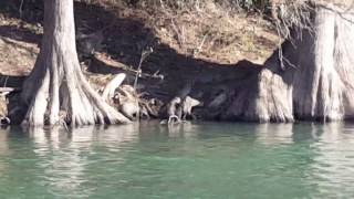
Cypress Bend Park
New Braunfels, Texas
15.8 miles SWFifteen tree-lined acres on the Guadalupe River with a playground, horseshoe pits, and a river that swings from a calm swim to a pleasant wading spot depending on the day's flow.
Swim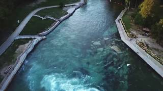
Prince Solms Park
New Braunfels, Texas
16.7 miles SWStrikingly blue Comal River water and the City Tube Chute — the largest dam-carved water slide of its kind — make Prince Solms a New Braunfels standout.
Disc Golf, Swim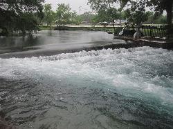
Landa Park
New Braunfels, Texas
16.9 miles SWThree spring-fed pools at 72°F year-round, a fishing pier, paddleboat rentals, and paved trails around Comal Springs — Landa Park is New Braunfels' all-day family oasis.
Hike, Swim
Luling Area
Perryton, Texas
22.8 miles SESwim near Perryton, Texas
Swim
Upper McKinney Falls Swimming Hole
Austin, Texas
24.1 miles NESwimming below the Upper Falls of Onion Creek at McKinney Falls State Park, a limestone swimming hole 13 miles from the Texas Capitol in southeast Austin.
Camp, Hike, Mountain Bike, Swim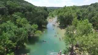
Twin Falls
Austin, Texas
26.0 miles NTwin Falls is one of the best waterfall-and-swimming-hole hikes in Texas, a scenic stretch of Austin's beloved Barton Creek Greenbelt where the creek pours over limestone ledges into clear, cool...
Hike, Swim 1.2 mi
Barton Creek Greenbelt
Austin, Texas
26.0 miles NUp to 7.9 miles of biking, hiking, and trail running along Austin's Barton Creek, with multiple swimming access points including the famous Campbell's Hole and the beautiful Sculpture Falls.
Hike
Sculpture Falls
Austin, Texas
26.8 miles NSculpture Falls is a beloved Barton Creek Greenbelt swimming hole in Austin, where the creek carves clear pools into sculpted limestone ledges.
Hike, Swim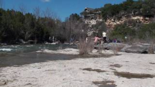
Campbell's Hole, Austin, TX, USA
Austin, Texas
27.3 miles NCampbell's Hole is one of Austin's best-loved swimming holes, a deep, cold, spring-fed pool on Barton Creek in the heart of the Barton Creek Greenbelt. Sitting about half a mile up the creek from the...
Hike, Swim
Hill Of Life
Austin, Texas
27.6 miles NThe Hill of Life is the steepest, most notorious stretch of Austin's Barton Creek Greenbelt, a rugged climb (or descent) at the western end of the Greenbelt near the Scottish Woods trailhead that...
Hike, Swim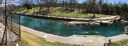
Barton Springs Pool
Austin, Texas
27.9 miles NA legendary 3-acre spring-fed pool in Zilker Park at a constant 70°F — Austin's beloved year-round swimming destination with deep roots in Texas history, adjacent to the greenbelt.
Swim
Zilker Park
Austin, Texas
28.0 miles NZilker Metropolitan Park is the green heart of Austin, Texas, a sprawling 358-acre expanse along the Colorado River and Barton Creek that holds one of the city's true crown jewels: Barton Springs...
Hike, Swim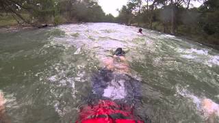
Nichol's Landing
New Braunfels, Texas
29.9 miles WA scenic cypress-lined stretch of the Upper Guadalupe River with a sandbar and a rope swing — the easiest put-in or take-out for canoes, kayaks, and tubes in the area.
Canoe, Kayak, Swim 0.4-0.9 mi
Wild Basin Wilderness Preserve
Austin, Texas
30.1 miles NA peaceful nature preserve with guided and self-guided hiking loops in Austin, including a stroller-friendly easy access path and plenty of wildlife and scenery.
Hike 0.3 mi
Mayfield Nature Preserve
Austin, Texas
31.1 miles NA 21-22 acre nature preserve in Austin with walking trails, a historic cottage, colorful cottage gardens, large palms, resident peacocks, and water lily ponds — no pets, open weekdays only.
Hike
Blanco State Park
Blanco, Texas
32.5 miles NWA spring-fed park on the Blanco River with a multi-level dam creating beautiful waterfall views — ideal for swimming, kayaking, canoeing, fishing, and camping on a mile of riverfront.
Camp, Canoe, Hike, Kayak, SwimNearby Campsites
Upper McKinney Falls Swimming Hole
Austin, Texas
24.1 miles NESwimming below the Upper Falls of Onion Creek at McKinney Falls State Park, a limestone swimming hole 13 miles from the Texas Capitol in southeast Austin.
Camp, Hike, Mountain Bike, Swim
Blanco State Park
Blanco, Texas
32.5 miles NWA spring-fed park on the Blanco River with a multi-level dam creating beautiful waterfall views — ideal for swimming, kayaking, canoeing, fishing, and camping on a mile of riverfront.
Camp, Canoe, Hike, Kayak, Swim
Pedernales Falls
Johnson City, Texas
36.3 miles NWLimestone waterfalls and downstream pools of varying depth make Pedernales Falls a classic Texas swimming hole — wade, swim, hike, and camp all in one state park visit.
Camp, Hike, Horseback, Mountain Bike, Swim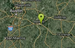
Bastrop State Park
Bastrop, Texas
41.8 miles EBastrop State Park packs in backpacking, camping, canoeing, swimming, golf, and a 12-mile scenic bike ride through the Lost Pines of east Central Texas.
Camp, Hike, Mountain Bike
Krause Springs
Spicewood, Texas
42.9 miles NCamp and Swim near Spicewood, Texas
Camp, Swim


