


Upper McKinney Falls Swimming Hole
Austin, Texas

Camp, Hike, Mountain Bike, and Swim
Upper McKinney Falls is the closest real swimming hole to downtown Austin that isn't Barton Springs, and on a hot afternoon it can be the better choice. Onion Creek pours over a broad lip of Cretaceous limestone into a deep green pool ringed by sculpted rock, with room to spread a towel on the slabs and a shallow shelf for kids at the downstream end. The falls are a five-minute walk from the Upper Falls parking area inside McKinney Falls State Park, at 5808 McKinney Falls Parkway, about 13 miles southeast of the Capitol. The park opened April 15, 1976, and drew 283,523 visitors in 2025; the falls are where most of them ended up.
Texas Parks and Wildlife charges $6 per adult to enter, and kids 12 and under are free; day passes sell out on spring and summer weekends, so reserve online. The gate is open 8 a.m. to 10 p.m. Swimming is allowed at both the Upper and Lower Falls at your own risk, with no lifeguard. The park's rules for the water are specific: no food, alcohol, glass or coolers in the swim areas, no speakers, and dogs stay out of the creek. After heavy rain Onion Creek goes brown and fast and the park closes the falls until it drops, sometimes for days, and low summer flow can bring bacteria advisories; the park posts both at the entrance.
The geology is why the pool is here. The falls formed where Onion Creek cut through a layer of volcanic ash from Pilot Knob, an 80-million-year-old submarine volcano whose cone is visible a couple of miles east, faster than it cut the harder limestone around it. The same rock holds Smith Rock Shelter, a National Register site where people camped for thousands of years, and the ruins of Thomas McKinney's 1850s homestead and gristmill along the Lower Falls trail. A section of El Camino Real de los Tejas, the Spanish colonial road, crosses the park.
There is more here than the swim. Nearly nine miles of trail wind through the 744 acres, including the paved 2.8-mile Onion Creek Hike and Bike Trail that loops both falls and is good for a family bike ride, and rougher singletrack on the Homestead and Flint Rock loops for mountain bikes. The campground has 81 sites with water and electricity and six cabins, all reservable, which makes this an easy overnight for a swim in the evening when the day crowd has gone home. Bring water shoes; the limestone is slick where it's wet and sharp where it's dry.
More Information
Never modify trail features. Ride trails when they're dry enough that you won't leave ruts. Speak up when you see others on the trail and always yield to hikers, horses, and others coming uphill. Always ride on the established trail.
Read MoreBe courteous, informed, and prepared. Read trailhead guidelines, stay on the trail, and don't feed the wildlife.
Read More
- Plan Ahead and Prepare
- Travel & camp on durable surfaces
- Dispose of waste properly
- Leave what you find
- Minimize campfire impacts
- Respect wildlife
- Be considerate of other visitors
Directions
From Austin, Texas
- Head east on E 5th St. toward Brazos StParts of this road may be closed at certain times or days(0.5 mi)
- Turn right onto S I-35 Frontage Rd (0.4 mi)
- Slight left to merge onto I-35 S (2.8 mi)
- Take exit 230 for Airport/
TX-71 E toward Bastrop (0.9 mi) - Merge onto State Hwy 71 E/
TX-71 E (0.4 mi) - Take the exit toward Montopolis Dr (0.4 mi)
- Merge onto E Ben White Blvd (0.4 mi)
- Turn right onto Judson Rd (0.3 mi)
- Turn left onto Burleson RdPass by McCoy's Bldg Supply (on the left in 0.5 mi)(2.0 mi)
- Turn right onto McKinney Falls Pkwy (1.8 mi)
- Turn rightRestricted usage road(0.4 mi)
- Turn rightRestricted usage road(0.3 mi)
- Turn rightRestricted usage road(59 ft)
- Turn rightRestricted usage roadDestination will be on the left(174 ft)
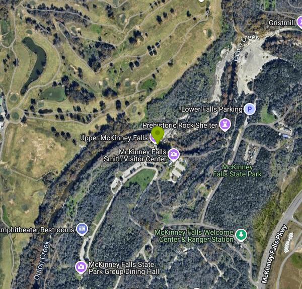 The Upper Falls of Onion Creek and the swimming hole below courtesy of Larry D. Moore↗ (CC BY 4.0↗)

 Onion Creek at McKinney Falls State Park courtesy of Larry D. Moore↗ (CC BY 4.0↗)

 Onion Creek over the limestone at McKinney Falls courtesy of G. Lamar↗ (CC BY 2.0↗)

 The limestone shelf at McKinney Falls courtesy of Larry D. Moore↗ (CC BY 4.0↗)

 The Upper Falls in flood, when the park closes the water courtesy of Larry D. Moore↗ (CC BY 4.0↗)
 Upper Falls, McKinney Falls State Park (archival) courtesy of Phillips, Mark Edward↗ (CC BY 4.0↗)
 The Lower Falls, the park's other swimming area courtesy of Larry D. Moore↗ (CC BY 4.0↗)

Other Mountain Bike Trails, Swimming Holes, and Hiking Trails Nearby
Barton Springs Pool
Austin, Texas
6.1 miles NWA legendary 3-acre spring-fed pool in Zilker Park at a constant 70°F — Austin's beloved year-round swimming destination with deep roots in Texas history, adjacent to the greenbelt.
Swim 
Campbell's Hole, Austin, TX, USA
Austin, Texas
6.3 miles NWCampbell's Hole is one of Austin's best-loved swimming holes, a deep, cold, spring-fed pool on Barton Creek in the heart of the Barton Creek Greenbelt. Sitting about half a mile up the creek from the...
Hike, Swim 
Zilker Park
Austin, Texas
6.4 miles NWZilker Metropolitan Park is the green heart of Austin, Texas, a sprawling 358-acre expanse along the Colorado River and Barton Creek that holds one of the city's true crown jewels: Barton Springs...
Hike, Swim 
Twin Falls
Austin, Texas
6.8 miles NWTwin Falls is one of the best waterfall-and-swimming-hole hikes in Texas, a scenic stretch of Austin's beloved Barton Creek Greenbelt where the creek pours over limestone ledges into clear, cool...
Hike, Swim 1.2 mi
Barton Creek Greenbelt
Austin, Texas
6.8 miles NWUp to 7.9 miles of biking, hiking, and trail running along Austin's Barton Creek, with multiple swimming access points including the famous Campbell's Hole and the beautiful Sculpture Falls.
Hike 
Sculpture Falls
Austin, Texas
7.9 miles NWSculpture Falls is a beloved Barton Creek Greenbelt swimming hole in Austin, where the creek carves clear pools into sculpted limestone ledges.
Hike, Swim 
Hill Of Life
Austin, Texas
8.6 miles NWThe Hill of Life is the steepest, most notorious stretch of Austin's Barton Creek Greenbelt, a rugged climb (or descent) at the western end of the Greenbelt near the Scottish Woods trailhead that...
Hike, Swim 0.3 mi
Mayfield Nature Preserve
Austin, Texas
9.3 miles NA 21-22 acre nature preserve in Austin with walking trails, a historic cottage, colorful cottage gardens, large palms, resident peacocks, and water lily ponds — no pets, open weekdays only.
Hike 0.4-0.9 mi
Wild Basin Wilderness Preserve
Austin, Texas
10.5 miles NWA peaceful nature preserve with guided and self-guided hiking loops in Austin, including a stroller-friendly easy access path and plenty of wildlife and scenery.
Hike 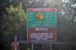
Hippie Hollow Park
Austin, Texas
18.4 miles NWA clothing-optional park on 109 peaceful acres nestled in the natural Hill Country beauty of Lake Travis, just 20 minutes from Austin — a quiet nudist retreat away from city bustle.
Swim 
Sewell Park
San Marcos, Texas
24.0 miles SWA 72-degree, crystal-clear San Marcos River running through a Texas State University campus park, with tube and kayak rentals, volleyball, and open lawns — free and open to all.
Canoe, Disc Golf, Kayak, Swim 
San Marcus City Park
San Marcos, Texas
24.1 miles SWAn 18-acre city park on the clear San Marcos River with walking trails, river access for kayaks and tubes, swimming in deep clear water, basketball courts, and a playground for all ages.
Canoe, Hike, Kayak, Mountain Bike, Swim 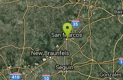
San Marcos Area
Del Rio, Texas
24.5 miles SWSwim near Del Rio, Texas
Swim 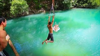
John Stokes Rope Swing
San Marcos, Texas
24.9 miles SWA tall, well-built rope swing over the San Marcos River off Thompson Island — climb the plank ladder and whip out over the water.
Dive, Swim 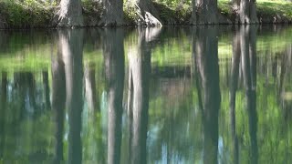
Blue Hole at Wimberley
Wimberley, Texas
25.0 miles SWClear blue water under spectacular cypress trees, with beginner and advanced rope swings, 4.5 miles of free shaded hiking trails, and a sand volleyball court — reservations required at $12 for adults.
Hike, Swim 
Bastrop State Park
Bastrop, Texas
26.8 miles EBastrop State Park packs in backpacking, camping, canoeing, swimming, golf, and a 12-mile scenic bike ride through the Lost Pines of east Central Texas.
Camp, Hike, Mountain Bike 
Krause Springs
Spicewood, Texas
32.5 miles NWCamp and Swim near Spicewood, Texas
Camp, Swim 
Pedernales Falls
Johnson City, Texas
33.1 miles WLimestone waterfalls and downstream pools of varying depth make Pedernales Falls a classic Texas swimming hole — wade, swim, hike, and camp all in one state park visit.
Camp, Hike, Horseback, Mountain Bike, Swim 
Pedernales Area
Perryton, Texas
33.4 miles WSwim near Perryton, Texas
Swim 
Luling Area
Perryton, Texas
36.0 miles SSwim near Perryton, Texas
SwimNearby Campsites
Bastrop State Park
Bastrop, Texas
26.8 miles EBastrop State Park packs in backpacking, camping, canoeing, swimming, golf, and a 12-mile scenic bike ride through the Lost Pines of east Central Texas.
Camp, Hike, Mountain Bike
Krause Springs
Spicewood, Texas
32.5 miles NWCamp and Swim near Spicewood, Texas
Camp, Swim
Pedernales Falls
Johnson City, Texas
33.1 miles WLimestone waterfalls and downstream pools of varying depth make Pedernales Falls a classic Texas swimming hole — wade, swim, hike, and camp all in one state park visit.
Camp, Hike, Horseback, Mountain Bike, Swim 
Blanco State Park
Blanco, Texas
42.3 miles WA spring-fed park on the Blanco River with a multi-level dam creating beautiful waterfall views — ideal for swimming, kayaking, canoeing, fishing, and camping on a mile of riverfront.
Camp, Canoe, Hike, Kayak, Swim


