


Popular Outdoor Locations
first prev next lastWe couldn't find free locations right near you yet, so here are some popular spots from around the world. Know a great place nearby? Add it and help the map grow.
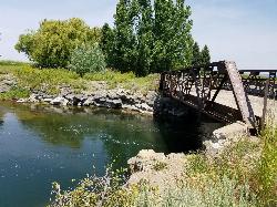
Twin Bridges
St. Anthony, Idaho
6.6 miles NE of St. Anthony, IdahoAn old abandoned bridge with two jump levels, a rope swing, and a little sandbar upstream — rarely crowded and great for families on warm days.
Dive, Swim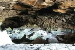
Civil Defense Caves
Rexburg, Idaho
23.0 miles N of Rexburg, IdahoTwo large lava tubes with an arched ceiling, gravel floor, bats in the left branch, and a cavern section at the end — open May through September to protect the bat habitat.
Cave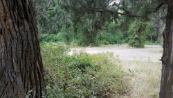
Wolf Flats Recreation Area
Ririe, Idaho
8.5 miles E of Ririe, IdahoWolf Flats Recreation Area is a free, undeveloped camping area strung along the South Fork of the Snake River in the canyon country east of Idaho Falls, and it's a longtime favorite of eastern Idaho...
Camp 6.9 mi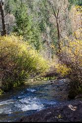
Big Elk Creek
Irwin, Idaho
11.0 miles SE of Irwin, IdahoA versatile campground on a small dammed lake with fishing, kayaking, hiking and backpacking into the Caribou-Targhee National Forest, and stunning fall Aspen and Douglas-Fir colors on the Big Elk Creek Trail.
Backpack, Camp, Canoe, Hike, Horseback, Kayak 0.6-2.0 mi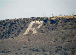
North Menan Butte ('R' Mountain)
Menan, Idaho
4.5 miles N of Menan, IdahoA volcanic butte locals call R Mountain, with a paved trailhead, chain handrails near the top, informational signs at the rim, and views of Rexburg and the Snake River.
Camp, Cave, Hike 6.2 mi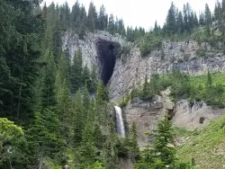
Darby Wind Cave
Driggs, Idaho
7.6 miles E of Driggs, IdahoWaterfalls, wildflowers, creek crossings, and a wind cave high on the canyon wall — Darby's switchback trail rewards hikers with views found nowhere else in the Tetons.
Backpack, Cave, Hike, Rock Climb 0.6-4.7 mi
Harriman State Park
Island Park, Idaho
8.3 miles SW of Island Park, IdahoAn 11,000-acre wildlife refuge 38 miles from Yellowstone along Henry's Fork — world-class fly-fishing, hiking among wildflowers and wildlife, plus 24 miles of Nordic ski trails in winter.
Cross-country Ski, Hike, Horseback, Mountain Bike, Snowshoe 3.8-6.4 mi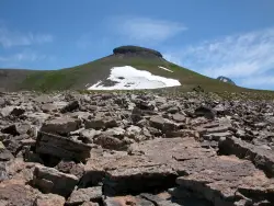
Table Rock / Table Mountain
Driggs, Idaho
10.0 miles E of Driggs, IdahoA big climb to 11,300 feet for arguably the finest view of the Grand Tetons — pick the steep Face or the gradual Huckleberry trail.
Camp, Hike 1.5 mi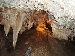
Timpanogas Cave
Provo, Utah
14.7 miles N of Provo, UtahColorful cave formations — cave bacons, columns, flowstone, and drapery — inside a Timpanogos mountain cave, reached by a 1.5-mile paved trail; tours run May through September.
Backpack, Cave, Hike 3.2-47.0 mi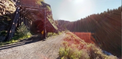
Yellowstone Branch Line Trail
Ashton, Idaho
7.6 miles NE of Ashton, IdahoA 39-mile trail from Warm River to the Montana border — open to backpackers, hikers, mountain bikers, horseback riders, and ATVs through the Targhee National Forest.
Backpack, Cross-country Ski, Hike, Horseback, Mountain Bike 1.0-1.3 mi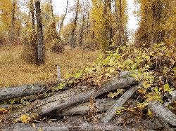
Lorenzo Bridge
Rexburg, Idaho
7.2 miles SW of Rexburg, IdahoA quiet former boat launch with primitive riverside trails, a hidden lake, stunning fall colors, and a natural paintball field bounded by river and dry creek bed.
Airsoft, Hike, Paintball 0.3 mi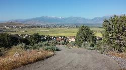
Kiowa Valley Path
Eagle Mountain, Utah
3.0 miles NE of Eagle Mountain, UtahA 0.3-mile paved path affectionately dubbed 'Lizard Hill' by local kids — easy on any stroller, gentle enough for all ages, and filled with basking lizards and rabbits along the way.
Hike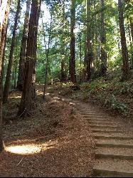
Muir Woods National Monument
Mill Valley, California
1.9 miles W of Mill Valley, CaliforniaA national monument with several suggested hikes from the visitors center, including a 2-mile loop leaving the boardwalk into the towering old-growth redwoods, plus guided tours and programs.
Hike 7.9 mi
Borah Peak
Mackay, Idaho
18.7 miles NW of Mackay, IdahoIdaho's highest peak at 12,662 feet offers a Class 3-4 summit route along 'Chicken-out' Ridge — complete with a snow knife-edge, talus, and the kind of exposure that separates the committed from the casual.
Hike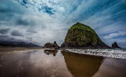
Haystack Rock
Cannon Beach, Oregon
0.6 miles SW of Cannon Beach, OregonA 235-foot sea stack accessible by foot at low tide, with rich tide pools full of starfish, anemones, crabs, and sea slugs, and a nesting site for terns and other seabirds just offshore Cannon Beach.
Swim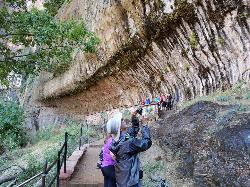
Weeping Rock
Springdale, Utah
6.6 miles NE of Springdale, UtahA short but steep 0.4-mile hike in Zion to a natural alcove where water seeps through sandstone, feeding lush hanging gardens of maidenhair ferns — with views of the Great White Throne.
Hike 4.2 mi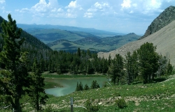
Lake Marie
Island Park, Idaho
9.7 miles N of Island Park, IdahoA high Continental Divide hike across the Idaho-Montana border to a cold, snowmelt-fed lake in a wildflower meadow — water level shifts dramatically from spring to fall.
Backpack, Hike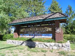
Zephyr Cove Park
Glenbrook, Nevada
5.5 miles S of Glenbrook, NevadaSix tennis courts, disc golf, a sledding hill, a beach, and a fishing pond all at one free park make Zephyr Cove one of Lake Tahoe's most versatile family hangouts.
Camp, Canoe, Disc Golf, Hike, Horseback, Kayak, Swim 1.4-4.6 mi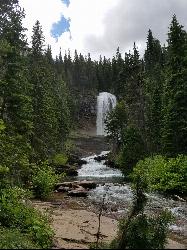
St Mary and Virginia Falls
Rising Sun, Glacier National Park
4.4 miles W of Rising Sun, Glacier National ParkA scenic 3.7-mile roundtrip hike past St. Mary Falls' 50-foot two-tiered drop to the upper and lower tiers of Virginia Falls, best in early season when snowmelt is rushing.
Hike 1.4 mi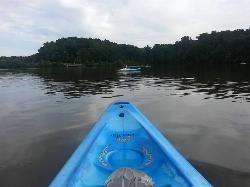
Queen Anne Creek
Edenton, North Carolina
0.2 miles W of Edenton, North CarolinaA two-hour kayak loop from Edenton Marina up Queen Anne Creek and Little Creek — lily pads in spring, mirrored reflections on calm days, and brilliant fall foliage along the water.
Canoe, Kayak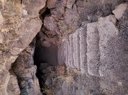
Dead Horse Cave
Gooding, Idaho
8.0 miles NW of Gooding, IdahoDead Horse Cave is an accessible 150-yard lava tube on the desert northwest of Gooding, Idaho — steps in, a big chamber, and a cool 56F year-round.
Cave 3.6 mi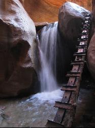
Kanarraville Falls
Kanarraville, Utah
0.5 miles E of Kanarraville, UtahA slot canyon hike through ankle-to-knee-deep water to twin waterfalls, with a natural sandstone slide into a refreshing swimming hole halfway through the route.
Hike, Swim
Chavez Crossing
Sedona, Arizona
2.1 miles SW of Sedona, ArizonaA campground on Oak Creek in Sedona's red-rock canyon, perfectly placed for cool water play, sunsets over Munds Mountain, and access to nearby swimming holes.
Camp, Hike, Swim
T Cave
West Magic, Idaho
1.5 miles S of West Magic, IdahoA cave just north of Gwinn and Mammoth Cave in West Magic, Idaho — enter and travel back about 300 yards to a large T-junction with passages extending roughly a quarter mile each way.
Cave


