


Popular Outdoor Locations
first prev next lastWe couldn't find free locations right near you yet, so here are some popular spots from around the world. Know a great place nearby? Add it and help the map grow.
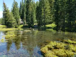
Big Springs
Island Park, Idaho
7.6 miles NE of Island Park, IdahoA Big Springs campground shaded by Lodgepole Pines on Henry's Fork — with a 1-mile interpretive trail, fish feeding under the bridge, the historic Johnny Sack Cabin, and access to the Mesa Falls Scenic Byway.
Camp, Hike 0.6-2.0 mi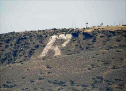
North Menan Butte ('R' Mountain)
Menan, Idaho
4.5 miles N of Menan, IdahoA volcanic butte locals call R Mountain, with a paved trailhead, chain handrails near the top, informational signs at the rim, and views of Rexburg and the Snake River.
Camp, Cave, Hike 1.0-7.5 mi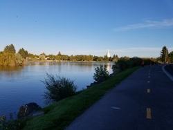
Idaho Falls Greenbelt
Idaho Falls, Idaho
0.5 miles NW of Idaho Falls, IdahoA 6-mile paved riverside trail through the heart of Idaho Falls past a 22-foot waterfall that stretches 600 feet wide, historic landmarks, parks, and downtown restaurants.
Hike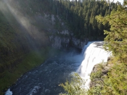
Mesa Falls
Ashton, Idaho
10.0 miles NE of Ashton, IdahoUpper Mesa Falls drops 114 feet and spans 300 feet across the Henrys Fork — just 0.2 miles of paved walkway from the parking lot, with platforms, handrails, and morning rainbow mist.
Cross-country Ski, Hike, Kayak 1.5 mi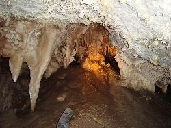
Timpanogas Cave
Provo, Utah
14.7 miles N of Provo, UtahColorful cave formations — cave bacons, columns, flowstone, and drapery — inside a Timpanogos mountain cave, reached by a 1.5-mile paved trail; tours run May through September.
Backpack, Cave, Hike 3.9-14.4 mi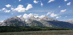
Grand Teton
Jackson Hole, Wyoming
17.6 miles N of Jackson Hole, WyomingAt 13,770 feet, the Grand Teton towers over Western Wyoming — all popular routes require rock climbing gear and are for skilled climbers only, with 3,000 feet of exposure where a fall is fatal.
Backpack, Hike, Rock Climb 3.2-47.0 mi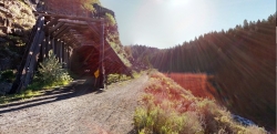
Yellowstone Branch Line Trail
Ashton, Idaho
7.6 miles NE of Ashton, IdahoA 39-mile trail from Warm River to the Montana border — open to backpackers, hikers, mountain bikers, horseback riders, and ATVs through the Targhee National Forest.
Backpack, Cross-country Ski, Hike, Horseback, Mountain Bike 1.1 mi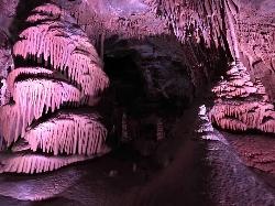
Lewis & Clark Caverns
Whitehall, Montana
10.9 miles E of Whitehall, MontanaLewis & Clark Caverns State Park combines colorful guided cave tours at a constant 48°F with mountain biking, year-round fishing, and camping in 3,015 scenic Montana acres.
Camp, Canoe, Cave, Hike, Mountain Bike 6.6-6.8 mi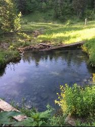
Bear Creek Hot Springs
Irwin, Idaho
9.8 miles S of Irwin, IdahoTrek ~13 miles up a creek canyon near Palisades Reservoir to a secluded natural hot spring — gentle most of the way, with one rewarding final climb.
Backpack, Camp, Hike, Horseback, Hot Springs, Mountain Bike 0.6 mi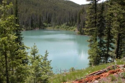
Packsaddle Lake
Tetonia, Idaho
9.3 miles W of Tetonia, IdahoA secluded, steep-access Teton lake with a 300-foot descent from the trailhead, water that drops off quickly at the edge, and a small camp on the eastern shore.
Dive, Hike, Mountain Bike, Snowshoe, Swim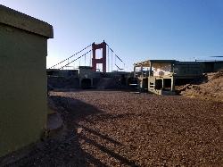
Battery Spencer
Mill Valley, California
6.3 miles SE of Mill Valley, CaliforniaA short 0.2-mile hike to a century-old Civil War battery with 12-inch rifled guns — now one of the best vantage points anywhere for viewing the Golden Gate Bridge.
Hike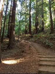
Muir Woods National Monument
Mill Valley, California
1.9 miles W of Mill Valley, CaliforniaA national monument with several suggested hikes from the visitors center, including a 2-mile loop leaving the boardwalk into the towering old-growth redwoods, plus guided tours and programs.
Hike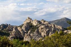
City of Rocks National Reserve
Malta, Idaho
23.3 miles SW of Malta, IdahoOver 700 developed climbing routes on granite spires rising 30 to 600 feet in Idaho's City of Rocks — from 5.6 beginner routes to 5.13 expert lines, with trad, sport, and full-range technique all welcome.
Camp, Hike, Horseback, Mountain Bike, Rock Climb 1.9-2.9 mi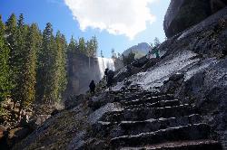
Mist Trail
Yosemite National Park
9.2 miles S of Yosemite National ParkA steep, mist-soaked Yosemite staircase hike climbing 639 stone steps past Vernal and Nevada Falls — with Half Dome, Whitecap, and Mt. Broderick views from the switchbacks above.
Backpack, Hike 7.9 mi
Borah Peak
Mackay, Idaho
18.7 miles NW of Mackay, IdahoIdaho's highest peak at 12,662 feet offers a Class 3-4 summit route along 'Chicken-out' Ridge — complete with a snow knife-edge, talus, and the kind of exposure that separates the committed from the casual.
Hike 2.6 mi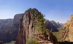
Angels Landing
Springdale, Utah
5.5 miles NE of Springdale, UtahZion's most iconic strenuous day hike — 21 steep switchbacks, dramatic Scout Lookout views, and a narrow chain-assisted ridge with 1,000-foot drop-offs to an unmatched canyon summit.
Hike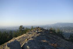
Spencer Butte
Eugene, Oregon
4.8 miles S of Eugene, OregonEugene's backyard hike through tall Douglas firs and maples to a summit with city views — a family-friendly loop with trails from easy to moderate.
Hike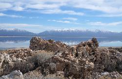
Antelope Island State Park
Syracuse, Utah
10.0 miles SW of Syracuse, UtahTwenty miles of trails cross Utah's Great Salt Lake island alongside free-roaming bison, antelope, and bobcats — best visited in early spring or late fall to beat the bugs.
Backpack, Camp, Hike, Horseback, Mountain Bike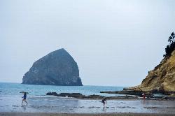
Cape Kiwanda
Pacific City, Oregon
1.3 miles NW of Pacific City, OregonA basalt sea stack 90 feet taller than Cannon Beach's Haystack Rock anchors a stunning coastal hike with sandstone fossils, impressive dunes, and consistent surf.
Hike 11.9 mi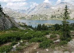
Island Lake
Pinedale, Wyoming
11.0 miles NE of Pinedale, WyomingIsland Lake is one of the crown jewels of the Wind River Range, a large, deep alpine lake set at about 10,400 feet on the edge of the Bridger Wilderness in west-central Wyoming. Ringed by pale...
Backpack, Hike, Horseback 0.9 mi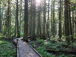
Trail of the Cedars
Apgar Village, Glacier National Park
13.2 miles NE of Apgar Village, Glacier National ParkAn easy wheelchair-accessible loop through towering 500-year-old cedars up to 100 feet tall in Glacier National Park, with gorge views of glacial Avalanche Creek and a footbridge over the water.
Hike 1.4-4.6 mi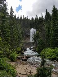
St Mary and Virginia Falls
Rising Sun, Glacier National Park
4.4 miles W of Rising Sun, Glacier National ParkA scenic 3.7-mile roundtrip hike past St. Mary Falls' 50-foot two-tiered drop to the upper and lower tiers of Virginia Falls, best in early season when snowmelt is rushing.
Hike 3.6 mi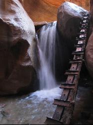
Kanarraville Falls
Kanarraville, Utah
0.5 miles E of Kanarraville, UtahA slot canyon hike through ankle-to-knee-deep water to twin waterfalls, with a natural sandstone slide into a refreshing swimming hole halfway through the route.
Hike, Swim
Best Hikes in Scottsdale for All Fitness Levels
Scottsdale, Arizona
E of Scottsdale, ArizonaFrom flat saguaro-dotted trails to craggy mountain summits, Scottsdale's desert landscape offers some of the most beautiful and varied hiking in the Southwest for all fitness levels.
Hike


