


Salt Lake Valley Scenic Overlook
Salt Lake City, Utah
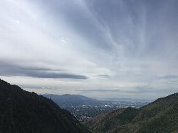
| Address: | Millcreek Canyon, 3800 Millcreek Canyon Rd, Salt Lake City, UT 84124, USA |
| GPS: |
40°41'30.6"N 111°45'14.2"W Maps | Directions |
| State: | Utah |
| Trail Length: | 4.80 miles |
| Trail Type: | Out & Back |
| Hike Difficulty: | Intermediate |
| Trails/Routes: | 2.6 mi |
Restrooms Picnic Tables Lakes Rivers Trails Rocks Wildflowers Fall Colors State Park
Hike
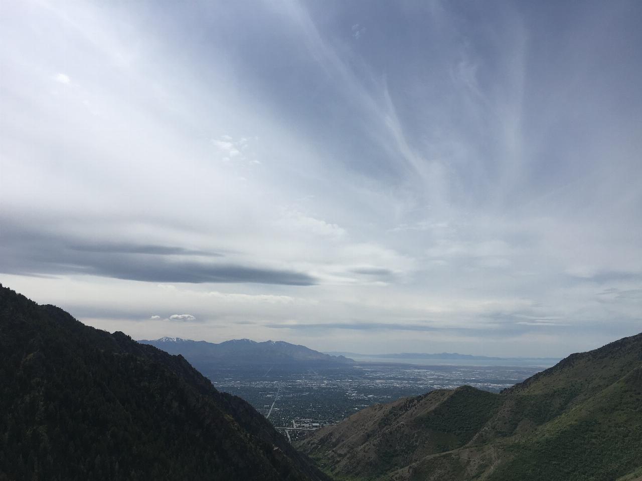
The Salt Lake Valley Scenic overlook starts on the Desolation trail in Millcreek Canyon near Salt Lake City, Utah and offers hikers a wide variety of destinations to stop at along the trail, ultimately leading to Lake Desolation. The Salt Lake Valley Scenic Overlook is the first stop along the trail and the most visited of the stops along the Desolation Trail. The Salt Lake Valley Scenic overlook shows hikers the beauty of the Salt Lake Valley from high above the skyscrapers in Downtown Salt Lake City.
The hike to the Salt Lake Valley Scenic Overlook is about 2 miles one way, the trail is mostly uphill and switchbacks dominate the upper part of the trail. From the Salt Lake Valley Scenic overlook, hikers are able to continue on to Lake Desolation although it is another 15 miles to the lake.
The Salt Lake Valley Scenic overlook portion of the trail is intermediate in difficulty and the scenic overlook itself is not for the faint of heart, with many sharp, jagged rocks and sheer cliffs surrounding the overlook. Whether you are afraid of heights or not, the view is breathtaking and is absolutely worth the challenging hike.
There are also many picnic and recreation areas at the Desolation trailhead, so if hikers want to make a day of spending time in Millcreek Canyon, there are plenty of options of things to do like swimming in the nearby pool just up the canyon from the trailhead, enjoying Millcreek or using fire pits near the trailhead to spend quality family time, are just a few of the options hikers have.
There is also a $5 fee to access the canyon that will be charged at the booth as you leave the canyon. The fee covers all in the vehicle and is good for all day access.
Overall, whether you are a Salt Lake City local or a visitor who loves a good hike, the Desolation trail and Salt Lake Valley Scenic Overlook is a great option to be at one with nature without having to go too far out of the city.
More Information
Desolation Lake Trail
*Recommended guides and rentals: Canyon Sports →
https://www.utah.com/destinations/cities-towns/salt-lake-city/hiking/desolation-lake-trail/Desolation Overlook Hiking Trail [Maps & Info]
Information on hiking in Salt Lake City, Utah. Millcreek Canyon’s Desolation Overlook trail info, maps and resources.
https://www.visitutah.com/places-to-go/cities-and-towns/salt-lake-city/trails/desolation-overlookSalt Lake Overlook/Desolation Trail | a Salt Lake Hiking & Biking Outdoors & Recreation in Millcreek
Learn more about Salt Lake Overlook/Desolation Trail, a local Hiking & Biking Outdoors & Recreation in Millcreek, Salt Lake. See hours, reviews, photos, location & more.
https://www.visitsaltlake.com/listing/salt-lake-overlook-desolation-trail/55164/Be courteous, informed, and prepared. Read trailhead guidelines, stay on the trail, and don't feed the wildlife.
Read More
- Plan Ahead and Prepare
- Travel & camp on durable surfaces
- Dispose of waste properly
- Leave what you find
- Minimize campfire impacts
- Respect wildlife
- Be considerate of other visitors
Directions
From Salt Lake City, Utah
- Head west on 400 S/
University Blvd toward S Main St (0.2 mi) - Turn left at the 1st cross street onto W Temple (0.2 mi)
- Turn right onto 500 S/
Cesar E. Chavez Blvd (0.6 mi) - Take the I-80 E/
I-80 W ramp on the left to Cheyenne/ Reno/ S.L. International Airport/ Las Vegas (0.2 mi) - Keep left at the fork, follow signs for I-15 S/
I-80 E/ Cheyenne/ Las Vegas and merge onto I-15 S/ I-80 E (2.5 mi) - Take exit 304 for Interstate 80 E toward Cheyenne (0.7 mi)
- Continue onto I-80 E (4.3 mi)
- Take exit 128 for Interstate 215 S/
Belt Route (1.2 mi) - Continue onto I-215 S/
Belt Route (1.4 mi) - Take exit 4 for 3900 S toward Hospital (0.2 mi)
- Turn left onto 3900 S (0.1 mi)
- Turn left onto Wasatch Blvd (0.1 mi)
- Turn right at the 1st cross street onto 3800 S/
Millcreek Canyon Rd Continue to follow Millcreek Canyon RdDestination will be on the right(2.3 mi)
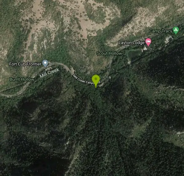 Salt Lake Valley from Scenic overlook by Tyler Burgener
 Millcreek from Desolation trail by Tyler Burgener
 Salt Lake Valley Scenic overlook by Tyler Burgener
 View of Millcreek Canyon from Salt Lake Valley Overlook by Tyler Burgener
 Mount Olympus from the Desolation Trail by Tyler Burgener
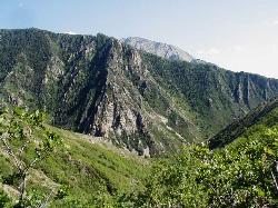
 Millcreek Canyon by Tyler Burgener
 Millcreek by Tyler Burgener

Added by torontoty1214
Other Hiking Trails Nearby
Grandeur Peak
Salt Lake City, Utah
1.1 miles NThe most accessible major peak on the Salt Lake City skyline, offering great valley views and year-round access for hikers of all abilities.
Hike 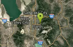
Pete's Rock
Salt Lake City, Utah
3.9 miles SWA large roadside rock next to the Mount Olympus trailhead — a local favorite for casual rock climbing, with the 9,026-ft summit offering some of the best views in the Salt Lake Valley.
Hike, Rock Climb 
Hidden Falls
Salt Lake City, Utah
4.2 miles SA popular roadside waterfall in Big Cottonwood Canyon that's just a short stroll from the parking lot — a quick 15-minute detour with a big payoff.
Hike 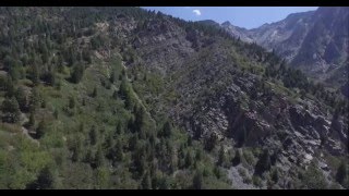
Storm Mountain
Salt Lake City, Utah
4.7 miles SA compact Wasatch peak just 3 miles up Big Cottonwood Canyon, with rock climbing routes, hiking, biking, and Big Cottonwood Creek running right alongside the day-use area.
Hike, Mountain Bike, Rock Climb 
Ferguson Canyon
Cottonwood Heights, Utah
5.9 miles SA popular climbing destination tucked between Big and Little Cottonwood Canyons, where you can hike into a shaded canyon with a stream or push on to a rocky summit for sweeping views.
Hike, Mountain Bike, Rock Climb 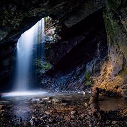
Donut Falls
Salt Lake City, Utah
6.3 miles SEA waterfall that pours through a hole in a cave ceiling — earning the 'donut' name — on a family-friendly 3-mile round-trip hike through Big Cottonwood Canyon.
Hike, Swim 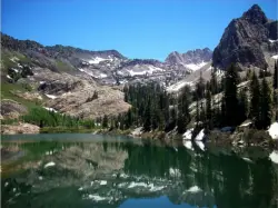
Lake Blanche
Salt Lake City, Utah
6.7 miles SEA popular 3-mile one-way hike in the Wasatch Mountains to three alpine lakes — Blanche, Florence, and Lillian — with plenty of water along the trail and about 2.5 hours to the top.
Hike 
Lisa Falls
Sandy, Utah
8.4 miles SA shaded granite climbing area in Little Cottonwood Canyon with polished friction faces, clean cracks, juggy overhangs, and a roaring waterfall that keeps the atmosphere cool and energizing.
Hike, Rock Climb 0.7 mi
Great White Icicle
Sandy, Utah
8.4 miles SAn ice climb in winter and a waterfall rappel in summer just outside Salt Lake City — the Great White Icicle in Little Cottonwood Canyon offers four shelves of ice and a bucket-list 4-to-5-hour ascent for all seasons.
Hike, Rock Climb 
Pfeiferhorn Peak
Provo, Utah
8.9 miles SEAn easily accessible Wasatch peak east of Salt Lake City with alpine lakes below and mountain goats spotted regularly above — breathtaking views of the Salt Lake valley from one of the range's highest points.
Backpack, Hike 1.1-4.7 mi
Bells Canyon
Sandy, Utah
9.1 miles SA 4.5-mile moderate hike up to a canyon waterfall through gorgeous fall foliage, meadows, wildflowers, and a creekside trail — the last 1.2 miles involve serious climbing over large rocks.
Backpack, Hike, Mountain Bike, Snowshoe 4.7 mi
Bonneville Shoreline Trail
Salt Lake City, Utah
9.4 miles NWA multi-use trail stretching from North Salt Lake to Parley's Canyon that follows the ancient shoreline of Lake Bonneville — perfect for hiking, biking, and trail running.
Hike, Mountain Bike 0.2 mi
Rocky Mouth Trail/Waterfalls
Sandy, Utah
10.4 miles SAn easy 0.2-mile stroll from suburbia reaches a scenic waterfall at the canyon mouth, while climbers can push deeper for 60-ft and 70-ft rappels through a slot canyon.
Canyoneer, Hike, Rock Climb 
Silver Lake (Big Cottonwood)
Brighton, Utah
10.8 miles SEA Wasatch Mountains trail passing three alpine lakes, abundant wildlife from chipmunks to moose, shady forest, and sweeping views — with the option to hike counter-clockwise for a gentler climb.
Hike, Mountain Bike 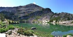
Cecret (Secret) Lake
Alta, Utah
10.9 miles SEA short, easy alpine hike through Albion Basin meadows in Little Cottonwood Canyon leads to a beautiful mountain lake everyone can enjoy.
Hike 0.4 mi
Hidden Valley Park trail
Sandy, Utah
10.9 miles SA hidden shallow valley of grass, sandstone cliffs, and Navajo Sandstone domes just south of Moab — loop options total about one mile, but bring water because it gets hot.
Hike, Mountain Bike 
American Fork Twin Peaks
Provo, Utah
10.9 miles SEA high-elevation, intermediate-friendly peak scramble that doubles as a gateway to multi-summit ridge traverses — offering sweeping views over Snowbird ski resort from the alpine ridge.
Hike 
Sugarloaf Peak
Alta, Utah
11.0 miles SEAn easily reached 11,000-foot Wasatch summit overlooking Albion Basin, Secret Lake, and Alta ski resort — one of the easiest of the Wasatch 11ers with a high trailhead and gentle terrain.
Hike 
White Pine Lake
Sandy, Utah
11.1 miles SA canyon that ski resort lobbyists fought to keep out of wilderness, now open to hikers and rare mountain bikers — hike in and discover why everyone has been arguing over White Pine Canyon.
Hike, Mountain Bike 
Wasatch Crest
Salt Lake City, Utah
12.0 miles SEWidely regarded as one of the best singletrack trails in Utah — start from Millcreek Canyon's Big Water Trailhead for the full out-and-back experience on the Wasatch Crest.
Hike, Mountain BikeNearby Campsites
Mill Creek Canyon
Salt Lake City, Utah
2.2 miles EAn out-and-back canyon trail with over 1,000 feet of elevation gain — the lower ski trail sees heavy traffic while the upper section above Elbow Fork stays quiet, with a reservable Yurt at the top December through April.
Camp, Cross-country Ski, Snowshoe 
Spruces Campground
Salt Lake City, Utah
7.0 miles SEA fee campground in Big Cottonwood Canyon near Salt Lake City — check USDA.gov for current rates and seasonal availability.
Camp, Sled 
Holbrook Trailhead
Bountiful, Utah
13.9 miles NThe Holbrook Trailhead is a popular access point for the Bonneville Shoreline Trail and Holbrook Canyon above Bountiful, Utah, on the western face of the Wasatch. Perched on the bench right at the...
Airsoft, Backpack, Camp, Paintball, Snowshoe 1.6-14.1 mi
Mount Timpanogas
Provo, Utah
19.0 miles SUtah's most-climbed mountain towers 7,000 feet above the Provo valley, stretching seven miles north to south with multiple peaks over 11,000 feet — a Wasatch landmark.
Camp, Hike, Horseback, Swim 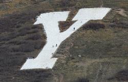
Y-Mountain Summit Trail
Provo, Utah
31.8 miles SA 1.2-mile climb east of BYU leads to a massive block Y on the hillside and sweeping panoramas over Provo, Orem, Utah Valley, and Utah Lake below.
Camp, Hike 5.6 mi
Antelope Island Lakeside Trail
Syracuse, Utah
34.1 miles NWAn easy 2-hour loop on Antelope Island around the Great Salt Lake, with rock formations, views of the Sierra Nevadas, and the GSL — kid-friendly and good for bug fans.
Camp, Hike, Horseback 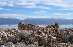
Antelope Island State Park
Syracuse, Utah
34.4 miles NWTwenty miles of trails cross Utah's Great Salt Lake island alongside free-roaming bison, antelope, and bobcats — best visited in early spring or late fall to beat the bugs.
Backpack, Camp, Hike, Horseback, Mountain Bike 2.9 mi
Pineview Reservoir
Eden, Utah
41.9 miles NA stunning Wasatch reservoir with three sandy beaches, boating, kayaking, paddleboarding, water skiing, and 18 miles of paved trail — the ultimate summer base behind the Ogden front.
Camp, Canoe, Hike, Kayak, Mountain Bike, Swim 4.7 mi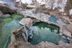
Fifth Water Hot Springs
Provo, Utah
47.0 miles SEA scenic 2.5-mile riverside hike to the famous Diamond Fork rock pools and waterfall, with soaks up to 108°.
Backpack, Camp, Hike, Hot Springs, Mountain Bike, Swim 
Hell Hole Lake
Evanston, Utah
48.2 miles EA challenging wash hike in Evanston's Dry Wash, navigating sand and boulders for 1.8 miles to Hellhole Canyon at the edge of the Red Mountain Wilderness.
Camp, Hike, Horseback


