


Popular Outdoor Locations
first prev next lastWe couldn't find free locations right near you yet, so here are some popular spots from around the world. Know a great place nearby? Add it and help the map grow.
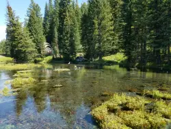
Big Springs
Island Park, Idaho
7.6 miles NE of Island Park, IdahoA Big Springs campground shaded by Lodgepole Pines on Henry's Fork — with a 1-mile interpretive trail, fish feeding under the bridge, the historic Johnny Sack Cabin, and access to the Mesa Falls Scenic Byway.
Camp, Hike 0.4 mi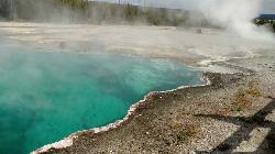
West Thumb Geyser Basin
Grant Visitor's Center, Yellowstone National Park
1.8 miles NW of Grant Visitor's Center, Yellowstone National ParkBoardwalks trace the edge of Yellowstone Lake at the scenic West Thumb Geyser Basin — hot springs, mud pots, fumaroles, lake shore geysers, and underwater vents in one compact visit.
Hike 6.2 mi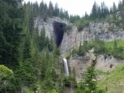
Darby Wind Cave
Driggs, Idaho
7.6 miles E of Driggs, IdahoWaterfalls, wildflowers, creek crossings, and a wind cave high on the canyon wall — Darby's switchback trail rewards hikers with views found nowhere else in the Tetons.
Backpack, Cave, Hike, Rock Climb 1.0-7.5 mi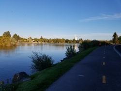
Idaho Falls Greenbelt
Idaho Falls, Idaho
0.5 miles NW of Idaho Falls, IdahoA 6-mile paved riverside trail through the heart of Idaho Falls past a 22-foot waterfall that stretches 600 feet wide, historic landmarks, parks, and downtown restaurants.
Hike
White Pine Lake
Sandy, Utah
8.5 miles E of Sandy, UtahA canyon that ski resort lobbyists fought to keep out of wilderness, now open to hikers and rare mountain bikers — hike in and discover why everyone has been arguing over White Pine Canyon.
Hike, Mountain Bike 3.2-47.0 mi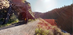
Yellowstone Branch Line Trail
Ashton, Idaho
7.6 miles NE of Ashton, IdahoA 39-mile trail from Warm River to the Montana border — open to backpackers, hikers, mountain bikers, horseback riders, and ATVs through the Targhee National Forest.
Backpack, Cross-country Ski, Hike, Horseback, Mountain Bike 0.6-3.7 mi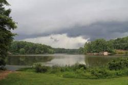
Umstead State Park
Raleigh, North Carolina
9.7 miles NW of Raleigh, North CarolinaFive thousand five hundred acres of forested trails — over 20 miles of hiking and 13 miles of multi-use paths — plus three fishing lakes and canoe rentals in the heart of the Triangle.
Camp, Canoe, Hike, Horseback, Mountain Bike 0.1 mi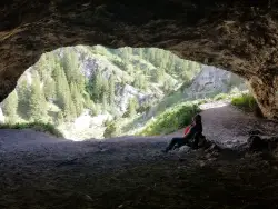
40 Horse Cave
Firth, Idaho
11.9 miles E of Firth, IdahoA short, steep scramble near Firth to a roomy hillside cave — big enough, legend says, to hide 40 horses.
Cave, Hike 1.4 mi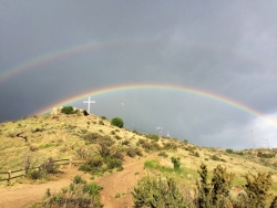
Table Rock
Boise, Idaho
3.0 miles SE of Boise, IdahoDirectly above downtown Boise, Table Rock rewards hikers with panoramic city, valley, and foothills views — especially stunning at sunrise or sunset, when the iconic white cross lights up on the peak.
Hike 1.0-1.3 mi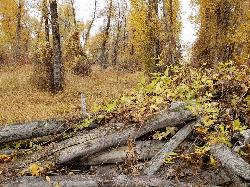
Lorenzo Bridge
Rexburg, Idaho
7.2 miles SW of Rexburg, IdahoA quiet former boat launch with primitive riverside trails, a hidden lake, stunning fall colors, and a natural paintball field bounded by river and dry creek bed.
Airsoft, Hike, Paintball 11.6 mi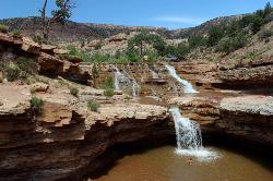
Toquerville Falls
La Verkin, Utah
6.6 miles N of La Verkin, UtahLedges, falls, a ladder to the best jumping spots, and a 7-foot-deep pool at the end of a 5.5-mile sandy desert drive — but stay away from the brittle, injury-prone cliff edges.
Dive, Hike, Mountain Bike, Swim 0.3 mi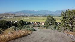
Kiowa Valley Path
Eagle Mountain, Utah
3.0 miles NE of Eagle Mountain, UtahA 0.3-mile paved path affectionately dubbed 'Lizard Hill' by local kids — easy on any stroller, gentle enough for all ages, and filled with basking lizards and rabbits along the way.
Hike 0.2-9.7 mi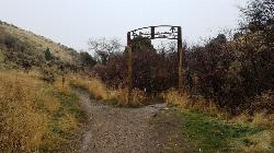
City Creek
Pocatello, Idaho
1.3 miles S of Pocatello, IdahoPocatello's city-maintained trail network packs over six miles of singletrack into City Creek Canyon, with everything from casual loops to a downhill-only expert run.
Hike, Horseback, Mountain Bike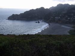
Muir Beach
Muir Beach, California
0.3 miles E of Muir Beach, CaliforniaA hidden gem beach north of San Francisco with a 0.2-mile walk to the shore, informational placards for kids, sunset views over the Pacific, and access to the Coastal Trail.
Hike, Swim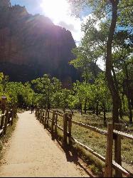
Riverside Walk
Springdale, Utah
7.6 miles N of Springdale, UtahA flat, paved riverside walk through Zion's desert swamp oasis, with hanging gardens on the cliffs and the option to continue into The Narrows — check flood conditions first.
Hike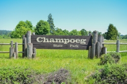
Champoeg State Park
Saint Paul, Oregon
4.9 miles NE of Saint Paul, OregonA historic pioneer park on the Willamette River with camping, boating, fishing, hiking, trail running, biking, disc golf, summer amphitheater concerts, and yurts and cabins to stay the night.
Camp, Disc Golf, Hike, Mountain Bike
Spencer Butte
Eugene, Oregon
4.8 miles S of Eugene, OregonEugene's backyard hike through tall Douglas firs and maples to a summit with city views — a family-friendly loop with trails from easy to moderate.
Hike 1.7 mi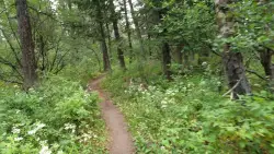
Buckskin Morgan Ridge
Ririe, Idaho
9.0 miles E of Ririe, IdahoA punchy climb to Buckskin Morgan Ridge pays off with twisty singletrack descents through roots, loose rock, and rolling hills above the Snake River Plain.
Hike, Mountain Bike 11.9 mi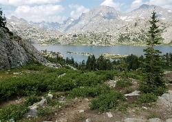
Island Lake
Pinedale, Wyoming
11.0 miles NE of Pinedale, WyomingIsland Lake is one of the crown jewels of the Wind River Range, a large, deep alpine lake set at about 10,400 feet on the edge of the Bridger Wilderness in west-central Wyoming. Ringed by pale...
Backpack, Hike, Horseback 1.1 mi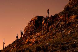
Piestewa Peak Summit Trail #300
Phoenix, Arizona
7.0 miles NE of Phoenix, ArizonaA steep, jagged, internationally recognized 1-mile climb to a 360-degree view of the entire Phoenix metro area — carved steps, two handrail sections, and water at the trailhead.
Hike 0.9 mi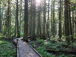
Trail of the Cedars
Apgar Village, Glacier National Park
13.2 miles NE of Apgar Village, Glacier National ParkAn easy wheelchair-accessible loop through towering 500-year-old cedars up to 100 feet tall in Glacier National Park, with gorge views of glacial Avalanche Creek and a footbridge over the water.
Hike 0.1-1.1 mi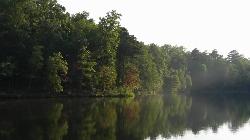
Durant Nature Preserve
Raleigh, North Carolina
8.6 miles NE of Raleigh, North CarolinaA 237-acre nature preserve in Raleigh with eight trails, three open to mountain bikers, a children's Secret Creek Trail, a butterfly park, volleyball court, and two Camp Durant lakes.
Hike, Mountain Bike 2.0 mi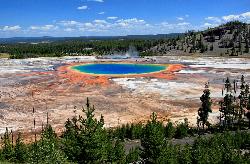
Grand Prismatic Spring Overlook Trail
Old Faithful, Yellowstone National Park
3.8 miles N of Old Faithful, Yellowstone National ParkA 1.2-mile forested round-trip trail climbing to a sweeping overlook of the Grand Prismatic Spring and entire Midway Geyser Basin — the rainbow colors are best seen from above.
Hike 3.6 mi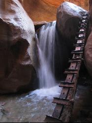
Kanarraville Falls
Kanarraville, Utah
0.5 miles E of Kanarraville, UtahA slot canyon hike through ankle-to-knee-deep water to twin waterfalls, with a natural sandstone slide into a refreshing swimming hole halfway through the route.
Hike, Swim


