


Popular Outdoor Locations
first prev next lastWe couldn't find free locations right near you yet, so here are some popular spots from around the world. Know a great place nearby? Add it and help the map grow.
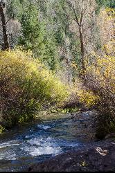
Big Elk Creek
Irwin, Idaho
11.0 miles SE of Irwin, IdahoA versatile campground on a small dammed lake with fishing, kayaking, hiking and backpacking into the Caribou-Targhee National Forest, and stunning fall Aspen and Douglas-Fir colors on the Big Elk Creek Trail.
Backpack, Camp, Canoe, Hike, Horseback, Kayak 0.6-4.7 mi
Harriman State Park
Island Park, Idaho
8.3 miles SW of Island Park, IdahoAn 11,000-acre wildlife refuge 38 miles from Yellowstone along Henry's Fork — world-class fly-fishing, hiking among wildflowers and wildlife, plus 24 miles of Nordic ski trails in winter.
Cross-country Ski, Hike, Horseback, Mountain Bike, Snowshoe 2.8-4.1 mi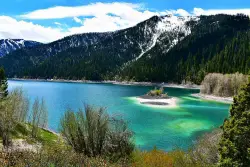
Palisades Creek Trail / Lakes and Waterfall Canyon
Irwin, Idaho
4.4 miles E of Irwin, IdahoSpectacular mountain views, two landslide-formed alpine lakes, and mountain goat sightings — all within a 4-to-6-mile hike in the Swan Valley wilderness.
Backpack, Camp, Hike, Horseback, Mountain Bike 3.2-47.0 mi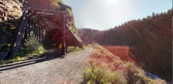
Yellowstone Branch Line Trail
Ashton, Idaho
7.6 miles NE of Ashton, IdahoA 39-mile trail from Warm River to the Montana border — open to backpackers, hikers, mountain bikers, horseback riders, and ATVs through the Targhee National Forest.
Backpack, Cross-country Ski, Hike, Horseback, Mountain Bike 0.6-3.7 mi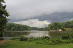
Umstead State Park
Raleigh, North Carolina
9.7 miles NW of Raleigh, North CarolinaFive thousand five hundred acres of forested trails — over 20 miles of hiking and 13 miles of multi-use paths — plus three fishing lakes and canoe rentals in the heart of the Triangle.
Camp, Canoe, Hike, Horseback, Mountain Bike 6.6-6.8 mi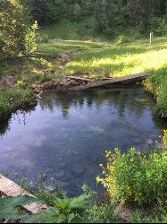
Bear Creek Hot Springs
Irwin, Idaho
9.8 miles S of Irwin, IdahoTrek ~13 miles up a creek canyon near Palisades Reservoir to a secluded natural hot spring — gentle most of the way, with one rewarding final climb.
Backpack, Camp, Hike, Horseback, Hot Springs, Mountain Bike
Pine Butte / The Caldera
St. Anthony, Idaho
21.7 miles N of St. Anthony, IdahoAn old volcano in the Idaho desert that feels like stepping into a mountain forest — pine-covered hillsides, a meadow ringed by aspen and boulders, and a quarter-mile easy trail to the caldera floor.
Camp, Hike, Horseback 0.2-9.7 mi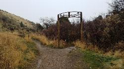
City Creek
Pocatello, Idaho
1.3 miles S of Pocatello, IdahoPocatello's city-maintained trail network packs over six miles of singletrack into City Creek Canyon, with everything from casual loops to a downhill-only expert run.
Hike, Horseback, Mountain Bike 12.1 mi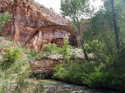
Escalante River
Escalante, Utah
1.2 miles E of Escalante, UtahThe Escalante River is the wild green thread running through the heart of the Grand Staircase-Escalante National Monument, and hiking it is one of the signature experiences of southern Utah's...
Hike, Horseback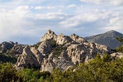
City of Rocks National Reserve
Malta, Idaho
23.3 miles SW of Malta, IdahoOver 700 developed climbing routes on granite spires rising 30 to 600 feet in Idaho's City of Rocks — from 5.6 beginner routes to 5.13 expert lines, with trad, sport, and full-range technique all welcome.
Camp, Hike, Horseback, Mountain Bike, Rock Climb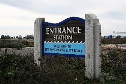
Half Moon Bay State Beach
Half Moon Bay, California
1.0 miles W of Half Moon Bay, CaliforniaA historic railroad corridor trail along the Half Moon Bay Pacific Coast with sweeping ocean views, access to multiple beaches, red-tailed hawks, herons, and a distant view of the famous Mavericks surf break.
Camp, Hike, Horseback, Swim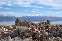
Antelope Island State Park
Syracuse, Utah
10.0 miles SW of Syracuse, UtahTwenty miles of trails cross Utah's Great Salt Lake island alongside free-roaming bison, antelope, and bobcats — best visited in early spring or late fall to beat the bugs.
Backpack, Camp, Hike, Horseback, Mountain Bike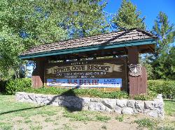
Zephyr Cove Park
Glenbrook, Nevada
5.5 miles S of Glenbrook, NevadaSix tennis courts, disc golf, a sledding hill, a beach, and a fishing pond all at one free park make Zephyr Cove one of Lake Tahoe's most versatile family hangouts.
Camp, Canoe, Disc Golf, Hike, Horseback, Kayak, Swim 11.9 mi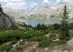
Island Lake
Pinedale, Wyoming
11.0 miles NE of Pinedale, WyomingIsland Lake is one of the crown jewels of the Wind River Range, a large, deep alpine lake set at about 10,400 feet on the edge of the Bridger Wilderness in west-central Wyoming. Ringed by pale...
Backpack, Hike, Horseback
American River Confluence
Auburn, California
2.2 miles NE of Auburn, CaliforniaThe Confluence — where the North and Middle Forks of the American River meet below Foresthill Bridge — is Auburn's favorite swimming and rafting hub.
Hike, Horseback, Kayak, Rock Climb, Swim, Whitewater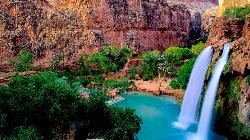
Havasu Falls Trail
Flagstaff, Arizona
89.4 miles NW of Flagstaff, ArizonaThe legendary turquoise waterfalls of Havasu Canyon on the Havasupai Reservation — a permit-only, roughly 10-mile hike to one of the Southwest's most unforgettable desert oases.
Backpack, Dive, Horseback, Swim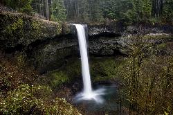
Silver Falls State Park
Sublimity, Oregon
7.6 miles NE of Sublimity, OregonThe largest state park in Oregon, Silver Falls features 10 spectacular waterfalls along the nationally recognized Trail of Ten Falls — including a walk behind a 177-foot waterfall on a 7.2-mile moderate loop.
Camp, Hike, Horseback, Swim
Mohican State Park
Perrysville, Ohio
4.0 miles SE of Perrysville, OhioFive miles of scenic Clear Fork river, 1,110 acres of park, and a full slate of fishing, hiking, picnicking, camping, cottages, and lodge stays in the heart of Ohio's Mohican Country.
Camp, Hike, Horseback, Mountain Bike 1.8 mi
Flat Laurel Creek
Flat Laurel Creek, North Carolina 28716, USA
A 3.18-mile multi-use trail following Flat Laurel Creek through colorful rock formations and forest, with distant views of Sam Knob and a small waterfall — open year round.
Hike, Horseback, Mountain Bike, Swim 9.2-11.1 mi
Loon Lake
McCall, Idaho
26.0 miles NE of McCall, IdahoA 10-plus-mile backpack to a quaint mountain lake and a long-abandoned ghost plane stashed at the leeward shore — two forested routes form a loop, one 4.6 miles, one 5.7 miles.
Backpack, Hike, Horseback, Mountain Bike 0.2-2.0 mi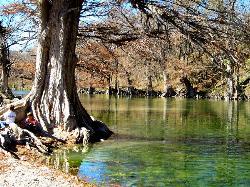
Guadalupe River State Park
Spring Branch, Texas
5.1 miles W of Spring Branch, TexasOver 4 miles of Guadalupe River frontage for swimming, fishing, wading, tubing, kayaking, and canoeing — plus 13 miles of trails and 85 campsites in a scenic Texas Hill Country state park.
Canoe, Hike, Horseback, Kayak, Mountain Bike, Swim 5.8 mi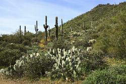
Go John Trail
Cave Creek, Arizona
2.9 miles W of Cave Creek, ArizonaA 5.8-mile desert loop at Cave Creek Regional Park with mine shafts, saguaro cactus, quartz fields, and valley views — best hiked or biked between September and April; $6 park entry fee.
Hike, Horseback, Mountain Bike 1.5-9.8 mi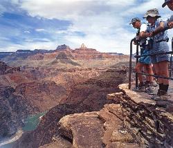
The Bright Angel Trails
Grand Canyon Village, Arizona
0.3 miles NW of Grand Canyon Village, ArizonaMultiple Bright Angel Trail routes range from a 5.4-mile out-and-back to the Three-Mile Resthouse to a 19-mile trek to the river, with the 12.4-mile South Kaibab–Tonto–Bright Angel point-to-point offering over 3,000 feet of Grand Canyon grandeur.
Backpack, Camp, Hike, Horseback 0.1-3.8 mi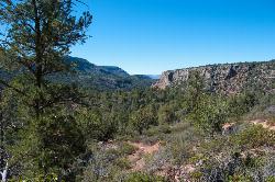
Fossil Springs Trail No. 18
Pine, Arizona
6.6 miles W of Pine, ArizonaA 4.75-mile desert canyon trail to the springs and an old dam in the Fossil Springs Wilderness — little shade and a brutal uphill return make summer visits genuinely dangerous.
Hike, Horseback, Swim


