


St. Anthony Sand Dunes
Saint Anthony, Idaho

| Address: | N 1900 E, St Anthony, ID 83445, USA |
| GPS: |
44°0'45.0"N 111°46'59.5"W Maps | Directions |
| State: | Idaho |
Sled
The St. Anthony Sand Dunes are one of Idaho's great natural playgrounds, a vast sea of white quartz sand stretching some 20 miles long and 5 miles wide across the high desert northwest of St. Anthony in eastern Idaho. This 10,600-acre BLM Special Recreation Management Area holds dunes ranging from 50 to a towering 400 feet high, and it draws off-road riders, sandboarders, hikers and equestrians from across the region to a landscape that feels genuinely otherworldly against the backdrop of the Teton skyline.
Off-highway riding is the headline activity, and the dunes are built for it. The signature feature is Deadhorse Bowl, a famous OHV sand bowl a mile in circumference and 400 feet deep in the western part of the complex, where riders carve the steep faces from spring through fall. The BLM requires that off-road vehicles be registered in the owner's home state and fly a safety flag, a red or orange flag at least 6 by 12 inches, mounted 8 feet above the ground so machines are visible over the dune crests. Beyond the motors, the dunes are superb for sandboarding and sand sledding down the big faces, and for hiking and horseback riding in the quieter stretches.
Camping centers on Egin Lakes, about 8 miles west of St. Anthony, with 48 improved sites including some with electrical hookups, potable water, and an RV dump station; 26 sites are reservable on Recreation.gov and the rest are first come, first served. The area has a beach popular for swimming, though the lake does hold leeches, so staying near the shore's edge helps; in town, the St. Anthony Sandbar is a beloved local river swimming hole for a family picnic.
The dunes are exposed and can be punishing: summer sun bakes the open sand with no shade, wind kicks up quickly, and the soft, steep faces are genuinely strenuous to climb on foot. Riders should treat Deadhorse Bowl and the big faces with respect, and everyone needs far more water than the desert setting suggests. The sand also gets scorching underfoot at midday.
Spring and fall are the most comfortable seasons for riding and hiking, while summer draws the biggest weekend crowds and the swimming at Egin Lakes. Bring plenty of water, sun protection, eye protection against blowing sand, a properly flagged and registered machine if you're riding, and everything you need to be self-sufficient in open desert. For OHV thrills on 400-foot faces, a sandboard run, or just a walk across a genuine dune sea with the Tetons on the horizon, the St. Anthony Sand Dunes are a one-of-a-kind Idaho destination.
More Information
Egin Lakes Campground/Day Use Area - Recreation.gov
Explore Egin Lakes Campground/Day Use Area with Recreation.gov. Located far from any ocean, the St. Anthony Sand Dunes appears as a rolling sea of sand on the eastern edge of Idaho’s volcanic Snake River Plain. These vast
https://www.recreation.gov/camping/campgrounds/15045St. Anthony Sand Dunes - Idaho | Bureau of Land Management
Remember your OUTDOOR ETHICS when enjoying your public lands. Please RECREATE RESPONSIBLY.OverviewThe St. Anthony Sand Dunes consists of 10,600 acres of clear, shifting, white quartz sand. Although much of the sand dunes is managed as a wilderness study area, the area is popular for high off-road vehicle use. Dunes up to 400 feet high attract riders from throughout the west. ORV users are strongly encouraged to avoid damage to vegetation and impacts to wildlife so that use of this unique area may continue. Others prefer to explore the dunes on horse and on foot.At Egin Lakes Campground, 26 of
https://www.blm.gov/visit/st-anthony-sand-dunes
- Plan Ahead and Prepare
- Travel & camp on durable surfaces
- Dispose of waste properly
- Leave what you find
- Minimize campfire impacts
- Respect wildlife
- Be considerate of other visitors
Directions
From Saint Anthony, Idaho
- Head west on E Main St toward S Bridge St (0.7 mi)
- Slight right at S 12th W (469 ft)
- Continue onto 12th W (0.2 mi)
- Turn left onto E 600 N/
N Parker Rd Continue to follow E 600 N(4.0 mi) - Turn right onto N 1900 E/
Salem Rd Continue to follow N 1900 E(3.0 mi)
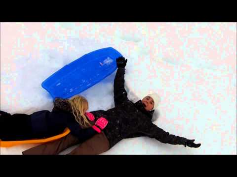
There isn't one specific hill necessarilly. The sand dunes have an ever changing nature. Just drive by and find a good slope. If it's a great day for sledding, chances are good that there will be others out there as well. There's plenty for everybody though so don't worry about that.
tasiawhicker
1/17/19 8:43 amkatiemia
9/10/16 2:29 pm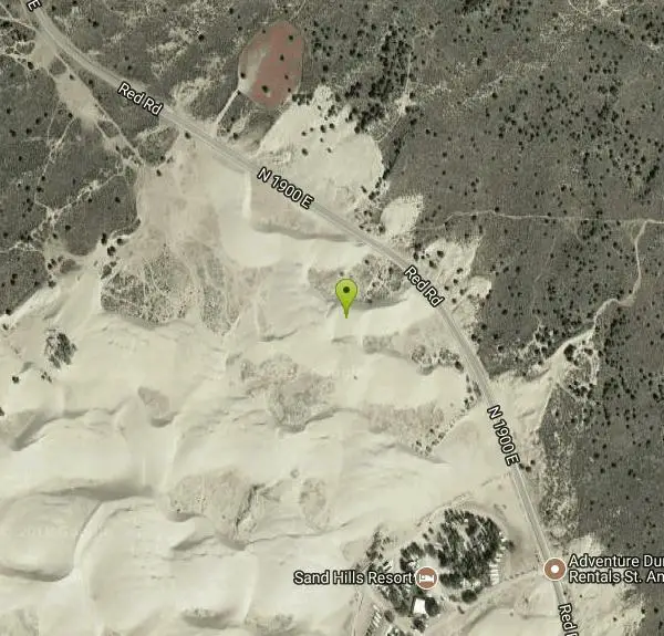

Other Sledding Hills Nearby

Egin Lakes
Saint Anthony, Idaho
5.1 miles SWUnusually shallow, sandy lakes on the gateway to the St. Anthony Sand Dunes — great for water games in 2-to-3-foot-deep water, the closest thing to a real beach in SE Idaho.
Sled, Swim
Park on Center St
Sugar City, Idaho
9.8 miles SSled near Sugar City, Idaho
Sled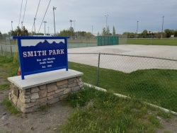
Smith Park
Sugar City, Idaho
9.9 miles SSugar Hill is a smaller sledding hill in Sugar City's Smith Park. It's great for younger kids or just some quick runs. You can often get a good run on every side.
Skateboard, Sled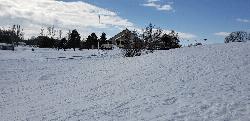
Teton Lakes Golf Course
Rexburg, Idaho
12.0 miles SA year-round golf course that transforms into a free cross-country ski destination in winter, with over two miles of groomed set and skate tracks — plus the community Cupid Cup XC race each season.
Cross-country Ski, Sled 0.2-0.5 mi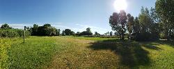
Eagle Park
Rexburg, Idaho
12.2 miles SA cottonwood forest park inside Rexburg city limits with campsites, fishing, a dog park, mountain biking on easy and moderate loops, and rock-throwing by the river.
Camp, Hike, Mountain Bike, Sled 0.4-0.7 mi
Rexburg Bike Park
Rexburg, Idaho
12.4 miles SA beginner-friendly bike park behind Rexburg Rapids with mounts in small, medium, and large sizes — and the same hills turn into great sledding terrain when snow arrives in winter.
Mountain Bike, Sled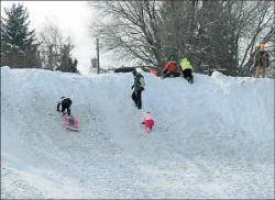
Smith Park
Rexburg, Idaho
12.9 miles SCity snow piled into a 30–40-foot sledding hill with a utility-box jump ramp makes Smith Park a beloved winter escape for kids in Rexburg.
Sled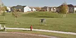
Hidden Valley Park
Rexburg, Idaho
13.0 miles SHidden Valley Park is a quiet neighborhood sledding spot in Rexburg, Idaho, tucked into the Hidden Valley subdivision on the east side of town. True to its name, it's a bit of a local secret: a...
Sled 0.1 mi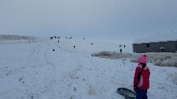
Founder's Square Hill (Under the Water Tower)
Rexburg, Idaho
14.7 miles SA wide, perfectly steep sledding hill in Rexburg that accommodates snowboards and inner tubes — still plenty of hill left after some houses went in at the bottom in 2017.
Sled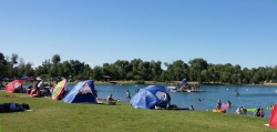
Jefferson County Lake (AKA Rigby Lake)
Rigby, Idaho
22.4 miles SSandy beaches, two floating docks with a slide, volleyball, playgrounds, and a safe swim zone — Jefferson County Lake is eastern Idaho's go-to summer swimming spot.
Camp, Canoe, Dive, Kayak, Sled, Swim 0.3-0.6 mi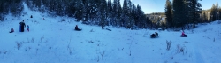
Bear Gulch
Ashton, Idaho
26.4 miles EAn abandoned ski hill from 1969 with overgrown runs that still deliver great sledding — the lower run is fast and winding all the way down to the old ski lift.
Camp, Cross-country Ski, Hike, Sled
Ucon Pit
Idaho Falls, Idaho
30.5 miles SThe Ucon Pit is one of the best-loved free sledding hills in the Idaho Falls area, a set of big, obstacle-free slopes on the edge of the little town of Ucon, about 7.7 miles northeast of Idaho Falls...
SledNearby Campsites
Warm Slough Campground
Rexburg, Idaho
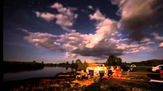
10.6 miles SWA popular river campground with two boat ramps and an easy, slow-moving inner tube float — the take-out is 1,000 feet from the put-in, making multiple runs a breeze.
Airsoft, Camp, Canoe 0.2-0.5 mi
Eagle Park
Rexburg, Idaho
12.2 miles SA cottonwood forest park inside Rexburg city limits with campsites, fishing, a dog park, mountain biking on easy and moderate loops, and rock-throwing by the river.
Camp, Hike, Mountain Bike, Sled
Beaver Dick Park
Rexburg, Idaho
14.3 miles SWA 9.5-acre Snake River park near Rexburg with fire pits, pavilions, fishing, boating, swimming, and a rich history tied to legendary frontiersman Beaver Dick Leigh.
Camp, Canoe, Disc Golf, Swim
Pine Butte / The Caldera
St. Anthony, Idaho
17.5 miles NAn old volcano in the Idaho desert that feels like stepping into a mountain forest — pine-covered hillsides, a meadow ringed by aspen and boulders, and a quarter-mile easy trail to the caldera floor.
Camp, Hike, Horseback 0.6-2.0 mi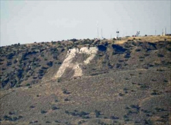
North Menan Butte ('R' Mountain)
Menan, Idaho
18.8 miles SWA volcanic butte locals call R Mountain, with a paved trailhead, chain handrails near the top, informational signs at the rim, and views of Rexburg and the Snake River.
Camp, Cave, Hike
Jefferson County Lake (AKA Rigby Lake)
Rigby, Idaho
22.4 miles SSandy beaches, two floating docks with a slide, volleyball, playgrounds, and a safe swim zone — Jefferson County Lake is eastern Idaho's go-to summer swimming spot.
Camp, Canoe, Dive, Kayak, Sled, Swim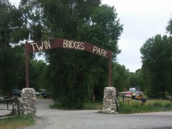
Twin Bridges Park
Rexburg, Idaho
23.5 miles SA 27-acre Snake River park between two bridges near Rexburg with shaded campsites, fire pits, pavilions, a playground, and BLM ground for hiking and hunting on three sides.
Camp, Canoe 0.5-3.5 mi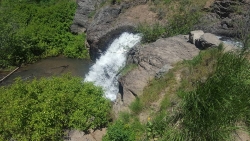
Webster's Dam
Ririe, Idaho
23.7 miles SAn abandoned dam in Moody Creek canyon where sediment split the stream into two beautiful 15-foot waterfalls — stunning in spring runoff and blazing with fall colors.
Camp, Hike, Mountain Bike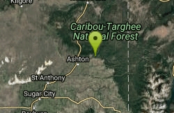
Warm River Campground
Ashton, Idaho
24.7 miles ESlow-moving warm water and willow-lined banks make this campground a perfect spot for tubing, trout fishing, and peaceful mountain biking at 5,200 ft elevation.
Camp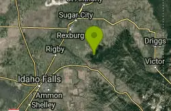
Big Hole Dispersed Campsites
Ririe, Idaho
25.1 miles SA network of dispersed campsites with fire rings in the Big Hole mountains above Kelly Canyon — first come, first served, no reservations, and Leave No Trace principles are essential.
Camp 0.3-0.6 mi
Bear Gulch
Ashton, Idaho
26.4 miles EAn abandoned ski hill from 1969 with overgrown runs that still deliver great sledding — the lower run is fast and winding all the way down to the old ski lift.
Camp, Cross-country Ski, Hike, Sled
Paramount Wall / Blanche Rock
Ririe, Idaho
26.6 miles SA sport climbing wall above the road near Ririe with great exposure, afternoon shade, and well-loved 5.9–5.10 lines — most routes work with a 50-meter rope, established by Chuck Oddette and crew.
Camp, Horseback, Rock Climb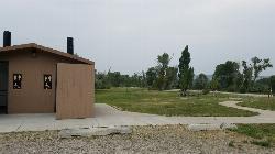
Kelly Island Campground
Ririe, Idaho
27.5 miles SA BLM campground with 14 family sites and 1 group site for RVs or tents, open May through September — vault toilets, pets welcome, and rates from $5–$20 per night.
Camp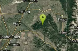
Moody Meadows
Driggs, Idaho
27.9 miles SEGood place for kids, they can ride bikes in the meadow, play in the stream, and camping is off of the road. Hiking, motorbiking, and horseback riding trails are abundant in the area.
Camp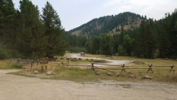
Table Rock Campground
Ririe, Idaho
28.1 miles SA campground in Caribou-Targhee National Forest — part of a 3-million-acre stretch from Montana to the Utah and Wyoming borders — with access to the Curlew National Grassland.
Camp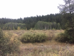
Porcupine Creek
Ashton, Idaho
28.4 miles EA backcountry hunting, fishing, camping, and swimming spot in Targhee National Forest, surrounded by forests, meadows, a creek, and unmarked trails — bear country, so pack and store food carefully.
Camp, Swim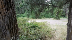
Wolf Flats Recreation Area
Ririe, Idaho
29.9 miles SWolf Flats Recreation Area is a free, undeveloped camping area strung along the South Fork of the Snake River in the canyon country east of Idaho Falls, and it's a longtime favorite of eastern Idaho...
Camp 4.8 mi
Aldous Lake and Hancock Lake
Kilgore, Idaho
34.3 miles NTwin alpine lakes — Aldous and Hancock — on a scenic 1.5-to-2.5-mile hike near Kilgore, with beautiful mountain scenery and heavier weekend crowds.
Backpack, Camp, Hike, Horseback, Swim
Sheep Falls on Fall River
Ashton, Idaho
34.7 miles EA local gem off Cave Falls Road where the river splits into multiple falls tumbling over each other — primitive campsites and beautiful views make it a great picnic stop.
Camp
Stoddard Creek
Spencer, Idaho
35.3 miles NWA campground just 1 mile off I-15 and 17 miles north of Dubois, surrounded by trails and wildlife in scenic high desert — an easy-access base for exploring northern Idaho's backcountry.
Camp


