


Fifth Water Hot Springs
Springville
Hike and Swim
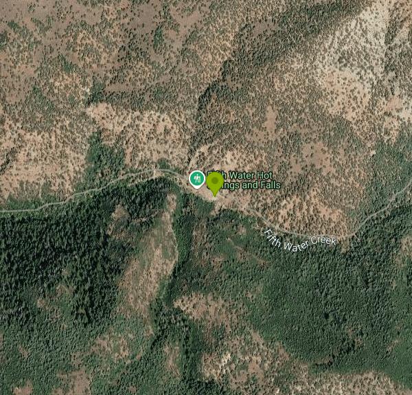
Fifth Water Hot Springs is a set of natural geothermal soaking pools on Fifth Water Creek in Diamond Fork Canyon, on the Spanish Fork Ranger District of the Uinta-Wasatch-Cache National Forest. Many Utahns know it as Diamond Fork Hot Springs. The pools sit at roughly 6,000 feet, about 16 miles east of Springville as the crow flies, where warm, sulfur-smelling water comes out of the canyon wall right beside a cold waterfall on the creek. No road reaches the pools, so every visit starts with a hike on Forest Service trail.
Most people start at the Three Forks Trailhead. From I-15 take exit 257A onto US-6 east toward Price, turn left (north) onto Diamond Fork Road (Forest Road 029) and drive about 11 miles to the signed lot. The Forest Service calls the lot very small, asks drivers to park only in designated pullouts without blocking the road, and says ticketing and towing are strongly enforced. Fifth Water Trail #015 crosses a footbridge, follows Sixth Water Creek for about 1.1 miles, crosses a second bridge and turns right up Fifth Water Creek. The largest springs are about 1.5 miles up that side canyon, so plan on roughly 4.5 miles round trip. A quieter route drops in from above, starting at the Fifth Water Trailhead on Rays Valley Road. In winter Diamond Fork Road is often closed short of Three Forks, which local guides say adds about 3 miles each way, and the trail can be icy enough that traction devices help.
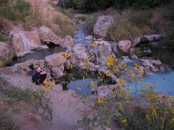
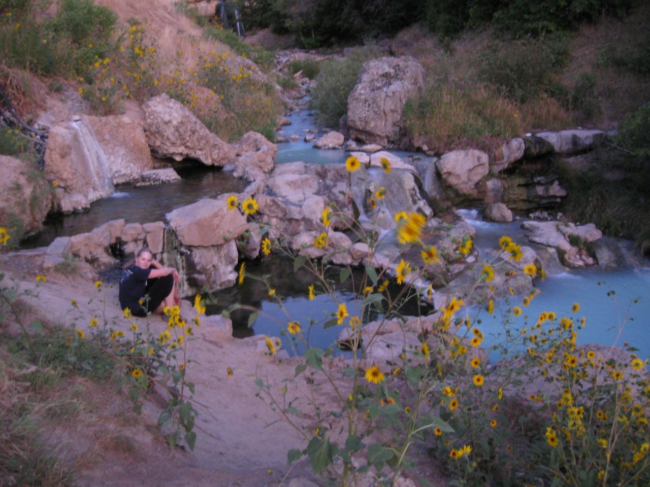
The soaking area is a chain of small pools that visitors have rimmed with rocks along the creek. The hottest ones sit right below the waterfall, with more just above it, and they get cooler as you move downstream. Guides put the source at around 111 F and most pools at roughly 100 to 102 F. The water is often a milky blue-green. These are sitting-depth pools with rocky, sometimes slippery bottoms, not a place to swim laps. There are no lifeguards, changing rooms or drinking water. The trailhead has a vault toilet and picnic tables.
The springs are open to the public and there is no charge to soak, but Three Forks Trailhead is a Forest Service fee site. Day use costs $10 per vehicle for three days, $20 per vehicle for seven days, or $60 per vehicle for the season, and the Forest Service honors Interagency America the Beautiful passes and Uinta-Wasatch-Cache National Forest passes, which must be displayed while parked. No closing hours are posted for the springs.
Water quality is the big issue here. The Utah Division of Water Quality has the springs on a Health Watch, and its July 15, 2026 update says harmful bacteria may be present and that multiple people developed severe rashes and blisters after visiting this summer. State testing in December 2022 also confirmed toxigenic cyanobacteria in mats around the pools. The state and the Forest Service advise keeping your head above water, keeping the water out of your mouth, not letting dogs drink it, avoiding the algae on pool sides and bottoms, and drying off and showering right after soaking rather than hiking out in wet clothes. Check the state's Fifth Water monitoring page before you go.
The trail keeps going past the springs for anyone who wants a longer day. Fifth Water Trail #015 climbs another mile to a jeep road and Rays Valley Road and eventually reaches Strawberry Ridge, and Sixth Water Trail #016 continues up the other fork from the second bridge. The Forest Service also lists stream fishing at Three Forks.
More Information
Complete Guide to Fifth Water Hot Springs (Diamond Fork Hot Springs) | Utah Valley
Discover everything about Fifth Water Hot Springs in Utah - from hiking trails and soaking tips to parking fees and seasonal info. Your complete local's guide!
https://www.utahvalley.com/blog/post/fifth-water-hot-springs/Diamond Fork (Fifth Water) Hot Springs - Wasatch Front - Road Trip Ryan
Diamond Fork Hot Spring, or Fifth Water Hot Spring, as it is also known by is a great outing in the Wasatch Front.
https://www.roadtripryan.com/go/t/utah/wasatch/diamondforkhotspringsFifth Water Hot Springs - Utah Department of Environmental Quality
DEQ's Fifth Water Hot Springs recreational water quality monitoring checks for Harmful Algal Blooms (HABs) & Waterborne Pathogens (E. coli)
https://deq.utah.gov/dwq/water-quality-health/fifth-water-hot-springsFifth Water Hot Springs and Waterfall | Utah.com
Three scenic waterfalls and some very nice hot springs are located along Fifth Water Creek, which is a tributary to the Diamond Fork River, east of Spanish Fork. You can reach the springs and waterfalls from the Three Forks Trailhead in Diamond Fork Canyon, or from the Rays Valley Trailhead (located on the Rays Valley Road north of Hwy 6).
https://www.utah.com/destinations/cities-towns/provo/hiking/fifth-water-waterfalls-and-hot-spring/Fifth Water Hot Springs | Visit Utah
The Fifth Water Hot Springs, often known as Diamond Fork, combines a tranquil trail, geothermal hot springs and wondrous waterfalls.
https://www.visitutah.com/places-to-go/cities-and-towns/provo-utah-valley/fifth-water-hot-springsUinta-Wasatch-Cache National Forest | Fifth Water Trail #015 | Forest Service
An official website of the United States government
https://www.fs.usda.gov/r04/uinta-wasatch-cache/recreation/trails/fifth-water-trail-015Uinta-Wasatch-Cache National Forest | Three Forks Trailhead | Forest Service
Three Forks Trailhead is the most heavily used trail to the Fifth Water Hot Springs. Alternate hiking suggestion start at the Fifth Water Trailhead on the Rays Valley Road.
https://www.fs.usda.gov/r04/uinta-wasatch-cache/recreation/three-forks-trailhead-0Utah Health Department finds toxic bacteria around popular local, tourist destination
Representatives of the U.S. Forest Service announced Thursday that testing conducted by the State of Utah Health Department confirmed the presence of toxigenic
https://kutv.com/news/local/utah-health-department-finds-toxic-bacteria-around-fifth-water-hot-springs-spanish-forkBe courteous, informed, and prepared. Read trailhead guidelines, stay on the trail, and don't feed the wildlife.
Read More
- Plan Ahead and Prepare
- Travel & camp on durable surfaces
- Dispose of waste properly
- Leave what you find
- Minimize campfire impacts
- Respect wildlife
- Be considerate of other visitors
Directions
From Springville
- Head south on S Main St/
S State St toward E 200 S (0.4 mi) - Turn right onto US-89 S (signs for Mapleton/
Price) (5.6 mi) - Turn left onto US-6 E/
US-89 S (signs for Price) Continue to follow US-6 E(16.8 mi) - Turn left onto Sheep Creek RdParts of this road may be closed at certain times or days(10.4 mi)
- Turn left onto Second Water Rdg (1.7 mi)


Other Swimming Holes and Hiking Trails Nearby
Fifth Water Hot Springs
Provo, Utah
2.0 miles WA scenic 2.5-mile riverside hike to the famous Diamond Fork rock pools and waterfall, with soaks up to 108°.
Backpack, Camp, Hike, Hot Springs, Mountain Bike, Swim
Dripping Rock
Spanish Fork, Utah
14.7 miles WDripping Rock is along a paved path adjacent to Spanish Oaks Golf Course.
Hike
Bicentennial Park
Provo, Utah
18.9 miles NWA 16-hole disc golf course in Provo beside a duck pond, a playground, a boardwalk nature trail with natural springs, and mature trees that make even moderate holes a genuine challenge.
Disc Golf, Hike, Sled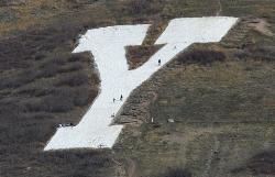
Y-Mountain Summit Trail
Provo, Utah
19.0 miles NWA 1.2-mile climb east of BYU leads to a massive block Y on the hillside and sweeping panoramas over Provo, Orem, Utah Valley, and Utah Lake below.
Camp, Hike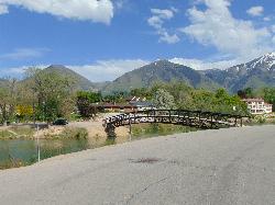
Salem Pond
Salem, Utah
19.1 miles WA community gem with kayaking, paddleboarding, fishing, a trail around the whole pond, a bridge for summer jumping, and Christmas lights in winter — Salem Pond does it all.
Canoe, Kayak, Skateboard, Swim
Grotto Falls
Payson, Utah
21.0 miles SWA gentle wooded creek trail with bridges leads to a waterfall and limestone grotto you can crawl around — all ages welcome and especially stunning in fall color season.
Hike
P Mountain and Little Mountain
Payson, Utah
22.1 miles WP Mountain and Little Mountain is Payson's hometown hike, a short, rewarding ridge walk in the Uinta-Wasatch-Cache National Forest that leads to the point above the giant white "P" overlooking town,...
Hike
Provo River Parkway Trail
Provo, Utah
23.1 miles NWA fully paved 6-mile canyon ride from Vivian Park to the mouth of Provo Canyon, passing waterfalls and a fish-feeding spot — best done with two cars for a car-shuttle downhill.
Hike, Mountain Bike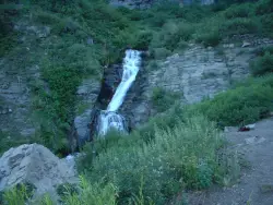
Timpanogos Falls
Provo, Utah
26.8 miles NWA lesser-known multi-tiered waterfall on the Mt. Timpanogos trail, visible early on and surrounded by wildflowers in late spring — a great beginner hike shared with the Stewart Falls trailhead.
Hike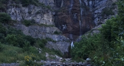
Stewart Falls
Provo, Utah
26.9 miles NWA glacier-fed, 200-foot multi-tiered waterfall on Mt. Timpanogos — about a 4-mile round trip hike through forest with a few steep edges near the falls.
Hike 1.2 mi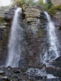
Battle Creek Falls
Pleasant Grove, Utah
27.9 miles NWA short 1.2-mile family-friendly hike in Pleasant Grove to a scenic waterfall with views from below and above, plus a nearby rappelling and rock climbing area just beyond the falls.
Canyoneer, Hike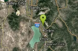
G Mountain Trail
Pleasant Grove, Utah
27.9 miles NWA family-friendly 1.5-mile roundtrip hike from Kiwanis Park to a hillside 'G' landmark near Pleasant Grove — a little steep at the start and the end, but great for all ages.
Hike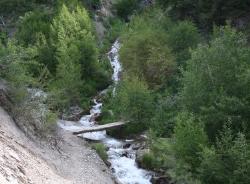
Grove Creek Trail
Pleasant Grove, Utah
28.9 miles NWA steep, shuttled downhill singletrack dropping from the shoulder of Mount Timpanogos through Grove Creek Canyon — the climb is brutal, but the descent is worth it.
Hike, Mountain Bike 1.6-14.1 mi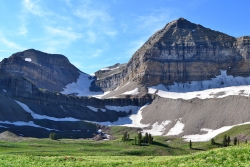
Mount Timpanogas
Provo, Utah
29.4 miles NWUtah's most-climbed mountain towers 7,000 feet above the Provo valley, stretching seven miles north to south with multiple peaks over 11,000 feet — a Wasatch landmark.
Camp, Hike, Horseback, Swim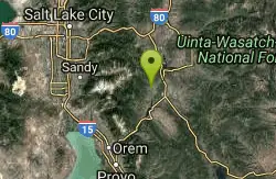
Homestead Crater
Midway, Utah
31.7 miles NA natural hot spring inside a 10,000-year-old rock dome in Midway, Utah — accessed through a blasted tunnel, open year-round for scuba diving and swimming in mineral-rich waters.
Hot Springs, Swim 1.5 mi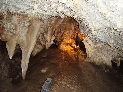
Timpanogas Cave
Provo, Utah
32.2 miles NWColorful cave formations — cave bacons, columns, flowstone, and drapery — inside a Timpanogos mountain cave, reached by a 1.5-mile paved trail; tours run May through September.
Backpack, Cave, Hike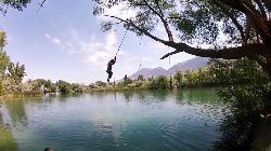
Mona Rope Swing
Midway, Utah
35.1 miles SWA classic rope swing over the Burraston Ponds — built in the 1930s and still swinging — with stocked trout fishing, picnic grills, and Wasatch mountain views.
Swim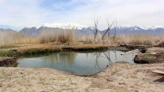
Saratoga Hot Springs
Saratoga Springs, Utah
35.9 miles NWThree naturally heated pools around 100°F year-round, a muddy beautiful setting, and an easy walk to nearby Utah Lake for wildlife watching between soaks.
Hike, Hot Springs 1.7 mi
Schoolhouse Springs Trail
Alpine, Utah
36.1 miles NWA short, scenic trail at 5,300 feet in Alpine, Utah, featuring a lake and activities from horseback riding to hiking — best enjoyed between May and October.
Hike, Mountain Bike
White Pine Lake
Sandy, Utah
36.9 miles NWA canyon that ski resort lobbyists fought to keep out of wilderness, now open to hikers and rare mountain bikers — hike in and discover why everyone has been arguing over White Pine Canyon.
Hike, Mountain BikeNearby Campsites
Fifth Water Hot Springs
Provo, Utah
2.0 miles WA scenic 2.5-mile riverside hike to the famous Diamond Fork rock pools and waterfall, with soaks up to 108°.
Backpack, Camp, Hike, Hot Springs, Mountain Bike, Swim
Y-Mountain Summit Trail
Provo, Utah
19.0 miles NWA 1.2-mile climb east of BYU leads to a massive block Y on the hillside and sweeping panoramas over Provo, Orem, Utah Valley, and Utah Lake below.
Camp, Hike 1.6-14.1 mi
Mount Timpanogas
Provo, Utah
29.4 miles NWUtah's most-climbed mountain towers 7,000 feet above the Provo valley, stretching seven miles north to south with multiple peaks over 11,000 feet — a Wasatch landmark.
Camp, Hike, Horseback, Swim
Maple Canyon
Fountain Green, Utah
41.2 miles SWMaple Canyon's one-of-a-kind cobblestone conglomerate cliffs host 140+ bolted routes from 5.4 to 5.14, making it one of the most unique climbing destinations in the US.
Camp, Hike, Mountain Bike, Rock Climb
Spruces Campground
Salt Lake City, Utah
42.1 miles NWA fee campground in Big Cottonwood Canyon near Salt Lake City — check USDA.gov for current rates and seasonal availability.
Camp, Sled
Fred Hayes State Park at Starvation
Duchesne
46.0 miles ESandy day-use beach on Starvation Reservoir in a Utah state park 4 miles northwest of Duchesne. $10 per vehicle, $15 on summer weekends. Check Utah DEQ algae advisories before swimming.
Camp, Kayak, Swim
Mill Creek Canyon
Salt Lake City, Utah
47.4 miles NWAn out-and-back canyon trail with over 1,000 feet of elevation gain — the lower ski trail sees heavy traffic while the upper section above Elbow Fork stays quiet, with a reservable Yurt at the top December through April.
Camp, Cross-country Ski, Snowshoe


