


Pope Beach
South Lake Tahoe
Kayak and Swim
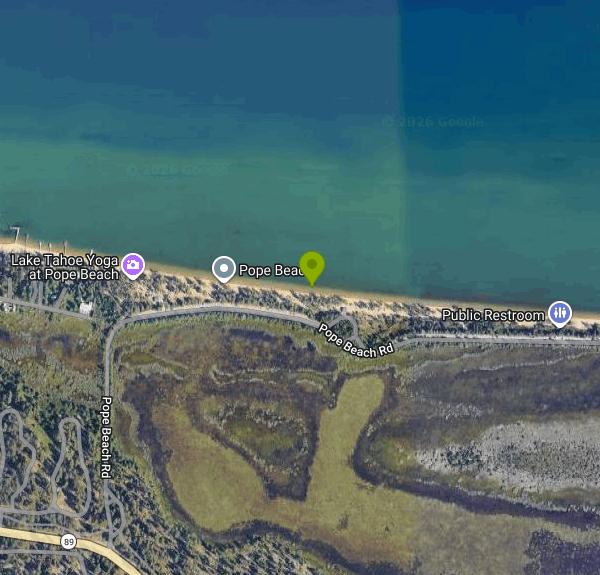
Pope Beach is a day-use beach on the south shore of Lake Tahoe, run by the USDA Forest Service's Lake Tahoe Basin Management Unit. It sits about three miles northwest of South Lake Tahoe off State Highway 89, between the Tahoe Keys and Camp Richardson, and covers roughly three-quarters of a mile of sand with tall pines growing right down to the back of the beach. Day-to-day operations are handled by a concessionaire, Vista Recreation, under a Forest Service special use permit, but the land is National Forest and the beach is open to anyone.
From South Lake Tahoe, take Highway 89 northwest for about three miles and watch for the entrance on the right. Coming from Tahoe City, it's roughly 25 miles south on Highway 89 around Emerald Bay, with the entrance on the left. Pope Beach Road runs parallel to the shoreline, and the paved parking lots sit in the trees behind the sand, so the walk from car to water is short. The Pope-Baldwin Bike Path passes the entrance, which makes this one of the easier Tahoe beaches to reach by bicycle.
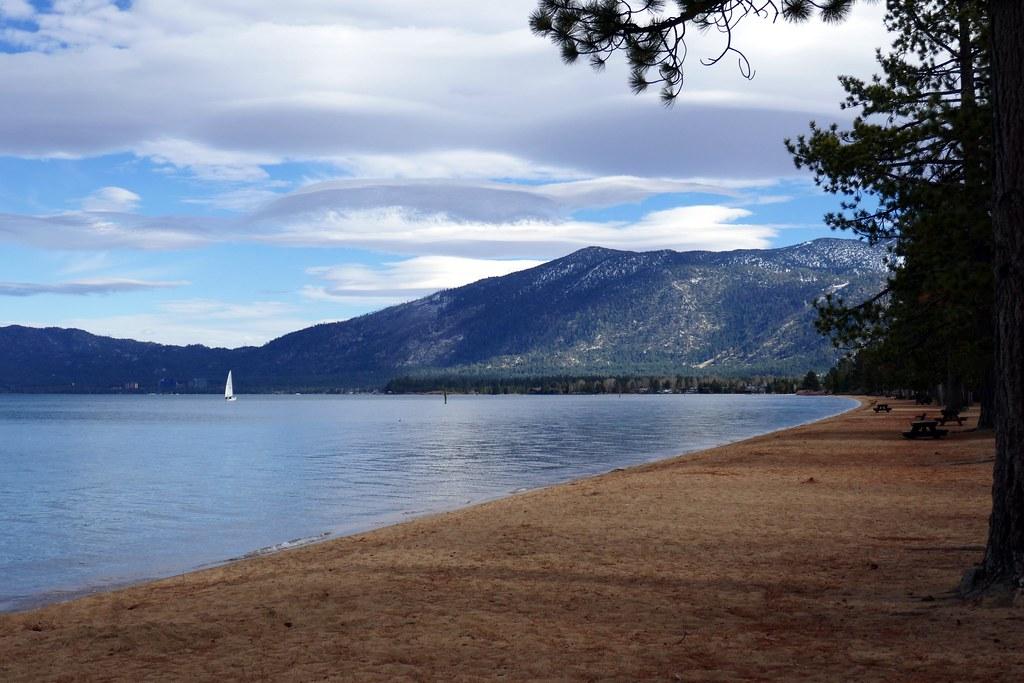
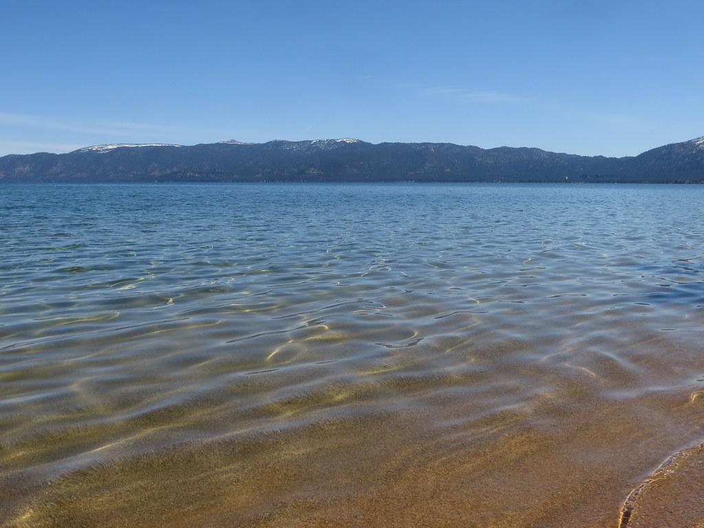
The swimming is off a long, gently sloping sand beach. The bottom is sand, the water is very clear, and you can wade out a good distance before it gets deep, which is why families use it. Don't let the color fool you, though. Lake Tahoe stays cold through the whole summer, and a swim here is bracing even in August. No lifeguard is listed among the site's services, so you are on your own in the water. Afternoon wind can kick up chop quickly, and summer thunderstorms build over the mountains with little warning. Kayak and paddleboard rentals and a food concession usually operate on site in summer, and the views run from Mount Tallac on the west to the Nevada shore and Heavenly on the east.
Pope Beach is not free if you drive in. The Forest Service lists a day-use parking fee of $10 per vehicle per day, and season passes are sold at the entrance kiosk. Tahoe's public beach guide notes that fees go up over the Fourth of July holiday weekend. People who arrive on foot or by bike don't pay the vehicle fee. The site is day use only with no overnight stays, and the gated entrance is open for the season from about Memorial Day weekend through mid-October (the Forest Service lists the season as May through October).
No pets of any kind are allowed on Pope Beach, which is stricter than some nearby beaches. Wood and charcoal fires are prohibited; portable propane stoves with on/off valves are allowed only with a valid permit. The Forest Service keeps two standing advisories that name Pope Beach. One covers harmful algal blooms, which can appear anywhere in the basin, so check the State of California HAB portal before you go and stay out of water that looks scummy or discolored. The other covers bubonic plague, which occurs naturally in Sierra Nevada rodents, so don't feed or handle squirrels or chipmunks. There are flush toilets, but no drinking water, so bring your own.
Pope Beach is part of a run of Forest Service sites along this stretch of shore. Camp Richardson, the Tallac Historic Site, Kiva and Baldwin Beach, and the Taylor Creek Visitor Center are all a short ride west on the bike path, and picnic tables are spread through the pines behind the sand.
More Information

- Plan Ahead and Prepare
- Travel & camp on durable surfaces
- Dispose of waste properly
- Leave what you find
- Minimize campfire impacts
- Respect wildlife
- Be considerate of other visitors
Directions
From South Lake Tahoe
- Head south on Lake Tahoe Blvd toward Los Angeles Ave (2.4 mi)
- Turn right onto CA-89 N/
Emerald Bay Rd (2.2 mi) - Turn right toward Pope Beach RdRestricted usage road(476 ft)
- Continue onto Pope Beach RdRestricted usage roadDestination will be on the left(0.4 mi)
 The sand and pine shoreline of Pope Beach looking east along Lake Tahoe, with picnic tables under th courtesy of scorpio-tiger↗ (CC BY-SA 2.0↗)
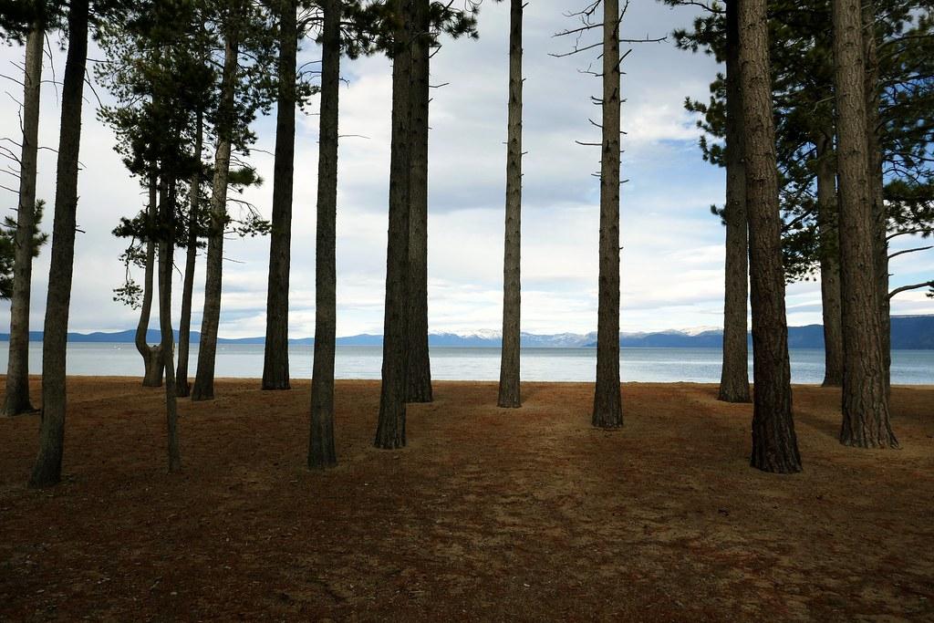
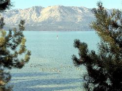
 Pine trunks frame Lake Tahoe and the snowy Carson Range from the forest behind Pope Beach. courtesy of scorpio-tiger↗ (CC BY-SA 2.0↗)
 Clear, shallow water over sand at the edge of Pope Beach. courtesy of Ken Lund↗ (CC BY-SA 2.0↗)
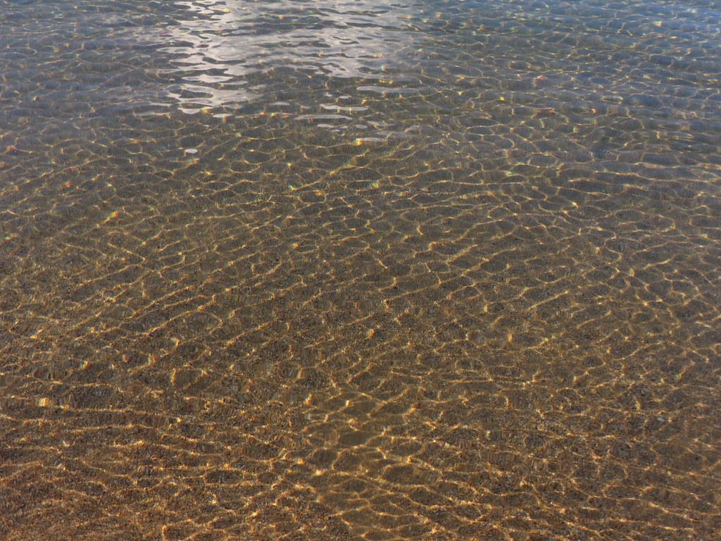
 Sunlight ripples over the sandy lake bottom just off Pope Beach. courtesy of Ken Lund↗ (CC BY-SA 2.0↗)
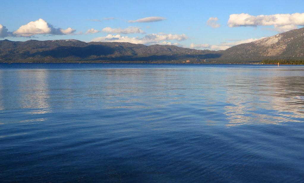
 Calm Lake Tahoe water off Pope Beach looking toward the mountains of the south and east shore. courtesy of Ken Lund↗ (CC BY-SA 2.0↗)
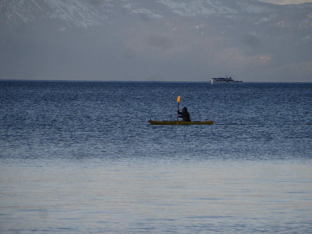
 A kayaker paddling Lake Tahoe off Pope Beach. courtesy of Ken Lund↗ (CC BY-SA 2.0↗)
Other Swimming Holes and Kayaking Areas Nearby
El Dorado Beach
South Lake Tahoe
3.0 miles EFree city beach at Lakeview Commons on Lake Tahoe's south shore in South Lake Tahoe, with a roped swim area, free parking, kayak rentals and a boat ramp. Shoreline construction can close it, so check before you go.
Canoe, Kayak, Swim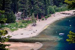
Vikingsholm Beach
South Lake Tahoe
4.2 miles WSandy beach at the head of Emerald Bay in Emerald Bay State Park, below the 1929 Vikingsholm mansion, reached by a steep one-mile trail. Free to walk in; parking is $10 a day.
Hike, Kayak, Swim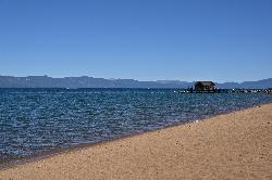
Nevada Beach Campground
Zephyr Cove
5.0 miles NEA mile of wide, coarse granite sand on the Nevada shore of Lake Tahoe, with a long shallow shelf that makes it one of the easiest big beaches on the lake to swim from. The Forest Service concessionaire charges a per vehicle day use fee at the Elks Point R
Camp, Hike, Kayak, Swim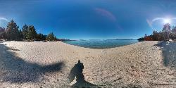
Lester Beach
South Lake Tahoe
5.8 miles NWLester Beach is the sandy main swim beach at D. L. Bliss State Park on Lake Tahoe's west shore, with clear, cold, shallow water and a $10 per vehicle day-use fee in season.
Camp, Canoe, Hike, Kayak, Swim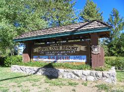
Zephyr Cove Park
Glenbrook, Nevada
6.9 miles NESix tennis courts, disc golf, a sledding hill, a beach, and a fishing pond all at one free park make Zephyr Cove one of Lake Tahoe's most versatile family hangouts.
Camp, Canoe, Disc Golf, Hike, Horseback, Kayak, Swim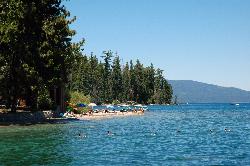
Sugar Pine Point Beach
Tahoma
9.3 miles NWA quarter-mile walk from the parking lot puts you on a sand beach at the foot of Ed Z'berg Sugar Pine Point State Park, where General Creek meets Lake Tahoe and the water runs clear enough to read the bottom. It is also genuinely cold, even in August.
Camp, Hike, Kayak, Swim
William Kent Beach
Tahoe City
15.5 miles NWA free Forest Service swim beach on Lake Tahoe's West Shore, two miles south of Tahoe City on Highway 89, with a pebbly shore, cold clear water and picnic tables across from William Kent Campground.
Kayak, Swim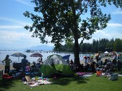
Commons Beach
Tahoe City
17.2 miles NFree public beach and lakefront park in downtown Tahoe City on Lake Tahoe, run by the Tahoe City PUD, with cold clear water, a sand and cobble shore, kayak rentals and free summer concerts.
Kayak, Swim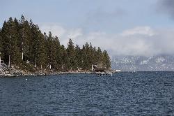
Lake Forest Beach
Tahoe City
17.4 miles NA free public beach at the end of Bristlecone Street, owned by Placer County and run by the Tahoe City Public Utility District. Sandy, pine shaded and genuinely quiet, with the one real constraint being how few cars fit at the end of the road.
Camp, Canoe, Kayak, Swim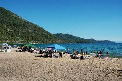
Sand Harbor State Park
Incline Village
18.7 miles NA Nevada State Parks day-use beach on Lake Tahoe's northeast shore near Incline Village, with a 2,500-foot sandy swim beach, very clear cold water and a $10 entry fee ($15 for non-Nevada vehicles).
Hike, Kayak, Swim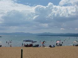
Kings Beach State Recreation Area
Kings Beach
20.7 miles NA wide sand beach with a shallow, gently sloping entry on Lake Tahoe's north shore, run by California State Parks in downtown Kings Beach. Parking costs $3 an hour or $10 a day, charged year round.
Kayak, Swim 4.1 mi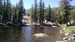
Shirley Lake Canyon Trail
Olympic Valley, California
21.3 miles NWA 2.5-mile hike from Squaw Valley Village past streams and waterfalls to a pure Sierra lake — rocky near the top, with a free gondola ride back down from High Camp as a reward.
Hike, Swim
Hell Hole Reservoir
Georgetown
22.3 miles NWA 4,630 foot Rubicon River reservoir in the Eldorado National Forest, 51 miles and two hours east of Georgetown, where the boat ramp cove is the only drivable shoreline and the lake drops over 100 feet by September.
Camp, Canoe, Hike, Kayak, Swim
Tahoe Area
Olympic Valley, California
22.4 miles NWSwim near Olympic Valley, California
Swim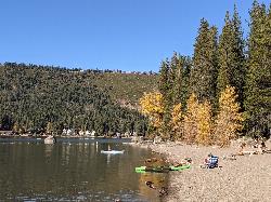
China Cove Beach
Truckee
29.0 miles NWChina Cove Beach is the sandy, shallow corner at the west end of Donner Memorial State Park, on the south shore of Donner Lake outside Truckee. California State Parks runs it, access is open to anyone paying the 10 dollar day use parking fee, and there is
Camp, Canoe, Hike, Kayak, Swim
Heath Falls Overlook Trail
Truckee, California
33.2 miles NWHike and Swim near Truckee, California
Hike, Swim
Palisades Creek Trail
Truckee, California
33.2 miles NWA difficult Sierra Nevada trail past Palisade Falls — one of the tallest on the American River — with views of Devils Peak, alpine lakes, and 2,000 feet of elevation gain.
Hike, Swim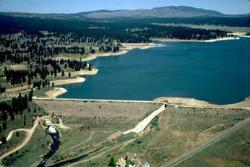
Boca Reservoir Hidden Beach
Truckee, California
33.5 miles NSandy informal beaches on the northeast shore of Boca Reservoir above Truckee, free to use, windy in the afternoons, and drawn down hard by the end of summer.
Camp, Canoe, Kayak, Kiteboard, Swim
North Fork Falls
Colfax, California
41.4 miles NWClear water, cliff-jumping pools, and waterfalls at Sierra Nevada's North Fork Falls — a summer hike to two deep pools with 10-to-25-foot cliffs ready for leaping.
Camp, Hike, Swim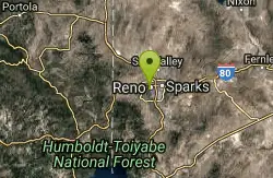
Reno Area
McGill, Nevada
42.1 miles NSwim near McGill, Nevada
SwimNearby Campsites
Nevada Beach Campground
Zephyr Cove
5.0 miles NEA mile of wide, coarse granite sand on the Nevada shore of Lake Tahoe, with a long shallow shelf that makes it one of the easiest big beaches on the lake to swim from. The Forest Service concessionaire charges a per vehicle day use fee at the Elks Point R
Camp, Hike, Kayak, Swim
Lester Beach
South Lake Tahoe
5.8 miles NWLester Beach is the sandy main swim beach at D. L. Bliss State Park on Lake Tahoe's west shore, with clear, cold, shallow water and a $10 per vehicle day-use fee in season.
Camp, Canoe, Hike, Kayak, Swim
Zephyr Cove Park
Glenbrook, Nevada
6.9 miles NESix tennis courts, disc golf, a sledding hill, a beach, and a fishing pond all at one free park make Zephyr Cove one of Lake Tahoe's most versatile family hangouts.
Camp, Canoe, Disc Golf, Hike, Horseback, Kayak, Swim
Sugar Pine Point Beach
Tahoma
9.3 miles NWA quarter-mile walk from the parking lot puts you on a sand beach at the foot of Ed Z'berg Sugar Pine Point State Park, where General Creek meets Lake Tahoe and the water runs clear enough to read the bottom. It is also genuinely cold, even in August.
Camp, Hike, Kayak, Swim
Lake Forest Beach
Tahoe City
17.4 miles NA free public beach at the end of Bristlecone Street, owned by Placer County and run by the Tahoe City Public Utility District. Sandy, pine shaded and genuinely quiet, with the one real constraint being how few cars fit at the end of the road.
Camp, Canoe, Kayak, Swim
Hell Hole Reservoir
Georgetown
22.3 miles NWA 4,630 foot Rubicon River reservoir in the Eldorado National Forest, 51 miles and two hours east of Georgetown, where the boat ramp cove is the only drivable shoreline and the lake drops over 100 feet by September.
Camp, Canoe, Hike, Kayak, Swim
China Cove Beach
Truckee
29.0 miles NWChina Cove Beach is the sandy, shallow corner at the west end of Donner Memorial State Park, on the south shore of Donner Lake outside Truckee. California State Parks runs it, access is open to anyone paying the 10 dollar day use parking fee, and there is
Camp, Canoe, Hike, Kayak, Swim
Boca Reservoir Hidden Beach
Truckee, California
33.5 miles NSandy informal beaches on the northeast shore of Boca Reservoir above Truckee, free to use, windy in the afternoons, and drawn down hard by the end of summer.
Camp, Canoe, Kayak, Kiteboard, Swim
North Fork Falls
Colfax, California
41.4 miles NWClear water, cliff-jumping pools, and waterfalls at Sierra Nevada's North Fork Falls — a summer hike to two deep pools with 10-to-25-foot cliffs ready for leaping.
Camp, Hike, Swim


