


Boca Reservoir Hidden Beach
Truckee, California
| GPS: |
39°25'11.9"N 120°5'13.0"W Maps | Directions |
| State: | California |
Camp, Canoe, Kayak, Kiteboard, and Swim
Boca Reservoir sits in a shallow basin five miles northeast of Truckee, just off Interstate 80 at the Hirschdale exit, and most of the people who drive past it every summer never stop. The Bureau of Reclamation finished Boca Dam in 1939 as part of the Truckee Storage Project, damming the Little Truckee River a mile above its confluence with the Truckee to store water for downstream rights in Nevada. At full pool it holds about 41,100 acre feet across roughly 980 surface acres at an elevation near 5,600 feet.
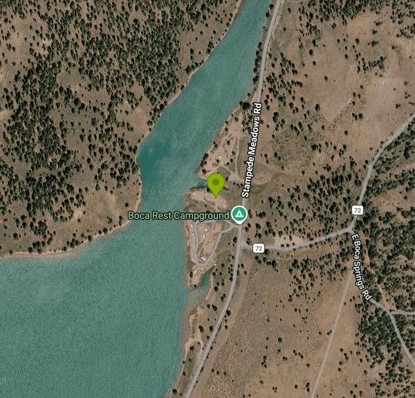
The swimming is on the northeast shore, where the bank flattens out into stretches of coarse sand and decomposed granite between the Boca Rest Campground and the inlet. None of it is a developed beach; there are no buoys, no lifeguards and no marked entry, just shoreline you walk down to from the campground road or from the dirt pullouts along Forest Road 73. The bottom is firm sand and gravel, the entry is gradual, and the water is clear. It is also cold. Boca is fed by snowmelt off the Sierra Crest through the Little Truckee, and even in August the surface tops out somewhere in the upper 60s, with anything below the first few feet noticeably colder.
Wind is the defining feature of this reservoir. The basin is open and it funnels the afternoon thermal that builds over the Sierra, so from roughly noon onward Boca blows hard and consistently. That makes it poor for float-on-a-raft swimming after lunch and very good for kiteboarding and windsurfing, which is what the rigs in the parking areas are for. Swim in the morning, sail in the afternoon, and the lake makes sense.
Recreation is managed by the Tahoe National Forest. Boca Rest Campground has 25 sites on the northeast shore with vault toilets and no water, and Boca Springs Campground sits up the drainage to the east with a handful more; both are generally open from late May through September. Day use of the shoreline is free, and there is a concrete boat ramp on the west side near the dam. Bring water, because there is none at most of these sites.
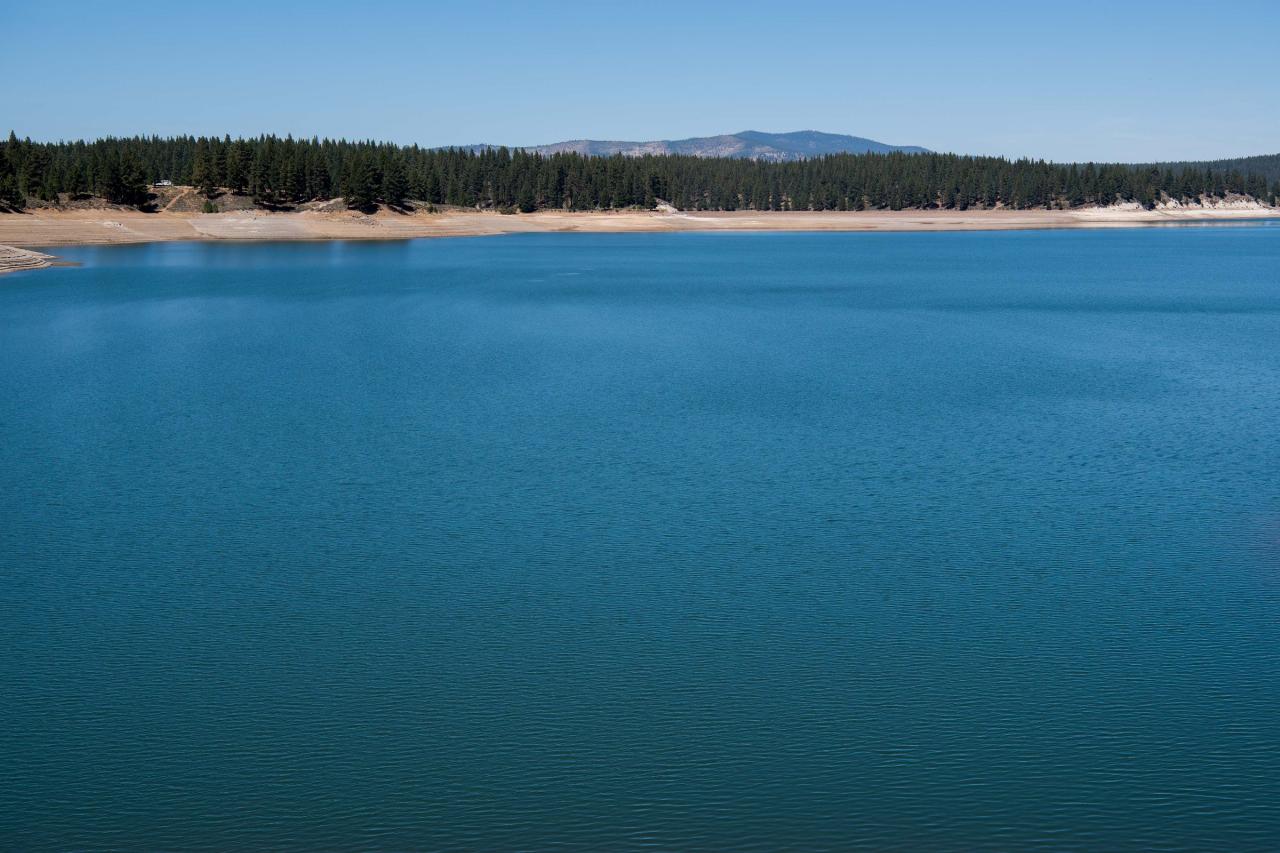
The drawdown is dramatic. Because Boca exists to deliver water downstream rather than to look pretty, Reclamation draws it down through late summer and fall, and by September or October the reservoir can be a fraction of its June size with hundreds of yards of exposed flat between the campground and the water. Photographs of Boca vary wildly for exactly this reason. Late June through early August is when the beaches are worth the drive.
Below the dam, the Little Truckee runs a short tailwater stretch that is one of the better trout fisheries in the region, and the Truckee River itself is a mile downstream. Stampede Reservoir is four miles north by the forest road, colder and larger, and Donner Lake and the town of Truckee are a short drive west for everything the campgrounds lack.
More Information

- Plan Ahead and Prepare
- Travel & camp on durable surfaces
- Dispose of waste properly
- Leave what you find
- Minimize campfire impacts
- Respect wildlife
- Be considerate of other visitors
Directions
From Truckee, California
- Head east (469 ft)
- Turn left toward Donner Pass Rd (79 ft)
- Turn left toward Donner Pass Rd (10 ft)
- Turn right onto Donner Pass Rd (233 ft)
- At the traffic circle, take the 2nd exit onto Donner Pass Rd/
Truckee Way (0.6 mi) - At the traffic circle, continue straight to stay on Donner Pass Rd/
Truckee Way (0.3 mi) - At the traffic circle, take the 2nd exit and stay on Donner Pass Rd/
Truckee Way (0.2 mi) - At the traffic circle, take the 1st exit onto CA-89 S (0.4 mi)
- Turn left to merge onto I-80 E toward Reno (5.5 mi)
- Take exit 194 for Hirschdale Rd (0.4 mi)
- Turn left onto Hirschdale Rd (0.3 mi)
- Hirschdale Rd turns slightly right and becomes Stampede Meadows Rd (3.0 mi)
- Turn leftRestricted usage roadDestination will be on the right(210 ft)
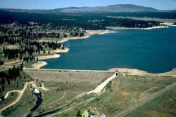
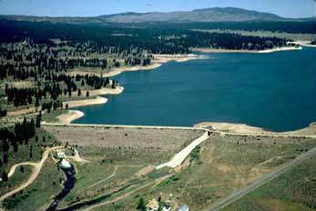
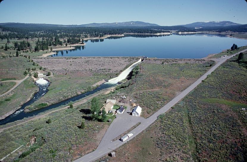
 Boca Dam and the reservoir from the air, spillway at the left and open blue water behind courtesy of U.S. Bureau of Reclamation, photographer not specified or not known↗ (Public domain↗)
 A sandy point and rocky shoreline on Boca Reservoir courtesy of Bureau of Reclamation↗ (Public domain↗)
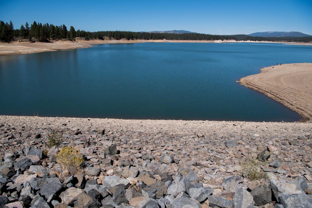
 The reservoir shoreline in late summer courtesy of Bureau of Reclamation↗ (Public domain↗)
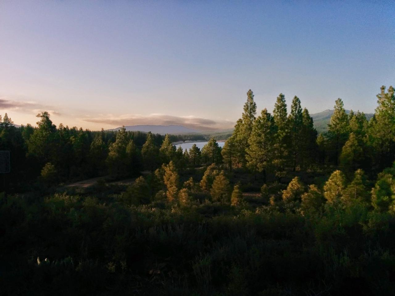
 Boca Reservoir from the southwest on a spring evening courtesy of Moxfyre↗ (CC BY-SA 3.0↗)
 The spillway channel and the Little Truckee River below the dam, with Interstate 80 beyond courtesy of U.S. Bureau of Reclamation, photographer not specified or not known↗ (Public domain↗)
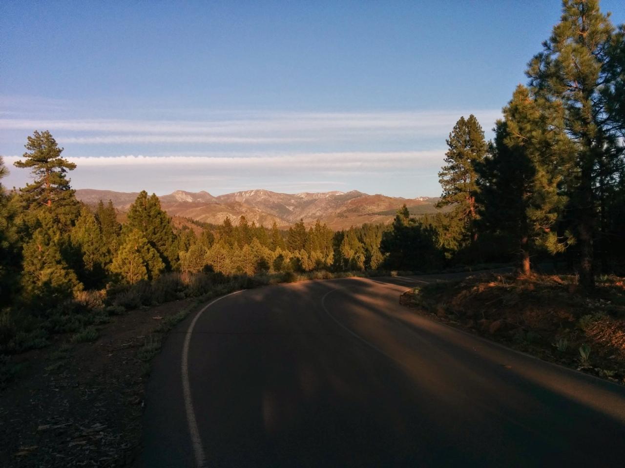
 The country southwest of the reservoir along Forest Road 73 courtesy of Moxfyre↗ (CC BY-SA 3.0↗)
Other Swimming Holes, Canoeing Areas, Kayaking Areas, and s Nearby
Reno Area
McGill, Nevada
16.1 miles NESwim near McGill, Nevada
Swim
Wingfield Park
Reno, Nevada
16.1 miles NEAn oasis in downtown Reno where manmade dams and natural rock formations turn the Truckee River into a playground for swimming, kayaking, tubing, and rafting.
Kayak, Swim 4.1 mi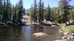
Shirley Lake Canyon Trail
Olympic Valley, California
17.4 miles SWA 2.5-mile hike from Squaw Valley Village past streams and waterfalls to a pure Sierra lake — rocky near the top, with a free gondola ride back down from High Camp as a reward.
Hike, Swim
Tahoe Area
Olympic Valley, California
18.0 miles SWSwim near Olympic Valley, California
Swim
Palisades Creek Trail
Truckee, California
20.4 miles SWA difficult Sierra Nevada trail past Palisade Falls — one of the tallest on the American River — with views of Devils Peak, alpine lakes, and 2,000 feet of elevation gain.
Hike, Swim
Heath Falls Overlook Trail
Truckee, California
20.4 miles SWHike and Swim near Truckee, California
Hike, Swim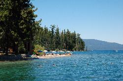
Sugar Pine Point Beach
Tahoma
25.3 miles SA quarter-mile walk from the parking lot puts you on a sand beach at the foot of Ed Z'berg Sugar Pine Point State Park, where General Creek meets Lake Tahoe and the water runs clear enough to read the bottom. It is also genuinely cold, even in August.
Camp, Hike, Kayak, Swim
Zephyr Cove Park
Glenbrook, Nevada
29.3 miles SSix tennis courts, disc golf, a sledding hill, a beach, and a fishing pond all at one free park make Zephyr Cove one of Lake Tahoe's most versatile family hangouts.
Camp, Canoe, Disc Golf, Hike, Horseback, Kayak, Swim
North Fork Falls
Colfax, California
33.6 miles WClear water, cliff-jumping pools, and waterfalls at Sierra Nevada's North Fork Falls — a summer hike to two deep pools with 10-to-25-foot cliffs ready for leaping.
Camp, Hike, Swim 0.1 mi
Edwards Crossing
Nevada City, California
48.4 miles WDeep blue water, rock cliffs, and a sandy beach on the Yuba River — with a half-mile walk from the parking lot and cliff jumping spots up to 20 feet deep.
Hike, SwimNearby Campsites
Sugar Pine Point Beach
Tahoma
25.3 miles SA quarter-mile walk from the parking lot puts you on a sand beach at the foot of Ed Z'berg Sugar Pine Point State Park, where General Creek meets Lake Tahoe and the water runs clear enough to read the bottom. It is also genuinely cold, even in August.
Camp, Hike, Kayak, Swim
Zephyr Cove Park
Glenbrook, Nevada
29.3 miles SSix tennis courts, disc golf, a sledding hill, a beach, and a fishing pond all at one free park make Zephyr Cove one of Lake Tahoe's most versatile family hangouts.
Camp, Canoe, Disc Golf, Hike, Horseback, Kayak, Swim
North Fork Falls
Colfax, California
33.6 miles WClear water, cliff-jumping pools, and waterfalls at Sierra Nevada's North Fork Falls — a summer hike to two deep pools with 10-to-25-foot cliffs ready for leaping.
Camp, Hike, Swim


