


Sand Harbor State Park
Incline Village
Hike, Kayak, and Swim
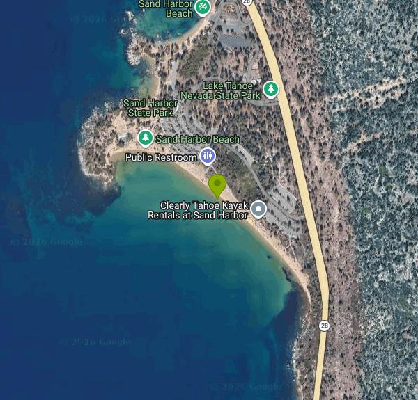
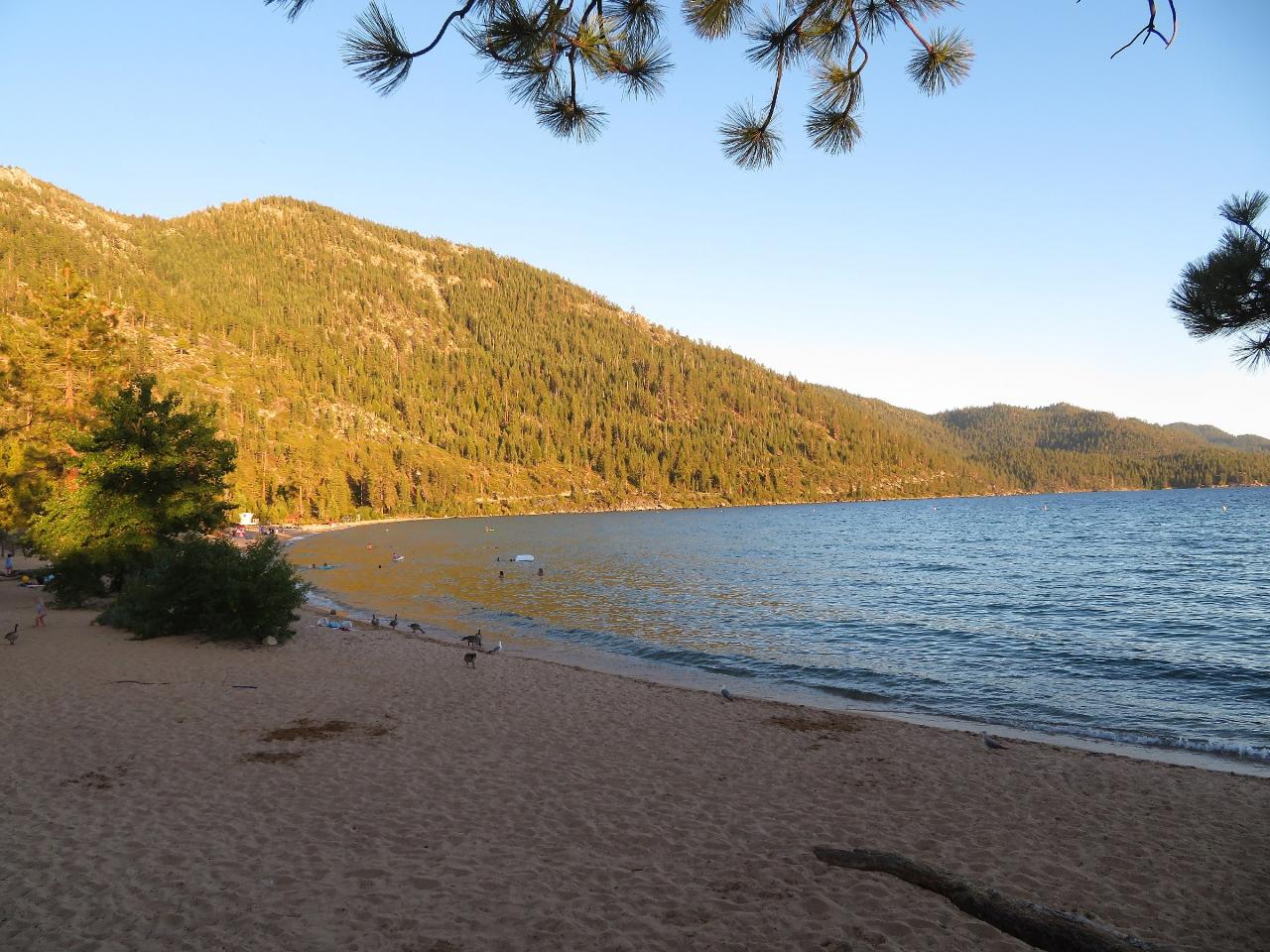
Sand Harbor is a day-use unit of Lake Tahoe Nevada State Park, managed by the Nevada Division of State Parks, on the northeast shore of Lake Tahoe about 4 miles south of Incline Village. The park wraps around Sand Point, a low granite peninsula, and has three distinct shoreline areas: the long Main Beach on the south side, Divers Cove just below the visitor center, and the Boat Beach on either side of the boat ramps to the north. The state set the area aside in 1958.
The entrance is on Nevada State Route 28 (2005 Highway 28). All visitors arriving by car must use the paid lots inside the park. Walking in from the highway or parking along Route 28 is prohibited, and staff will turn people away who try it. On summer days the gate closes once the lots are full, often by mid-morning, and usually reopens around 5 p.m. Two alternatives skip the parking problem: the paved Tahoe East Shore Trail runs about 3 miles from Incline Village to the park, and the Tahoe Transportation District runs a seasonal East Shore shuttle along the highway.
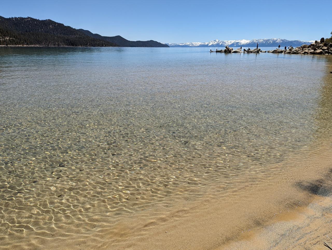
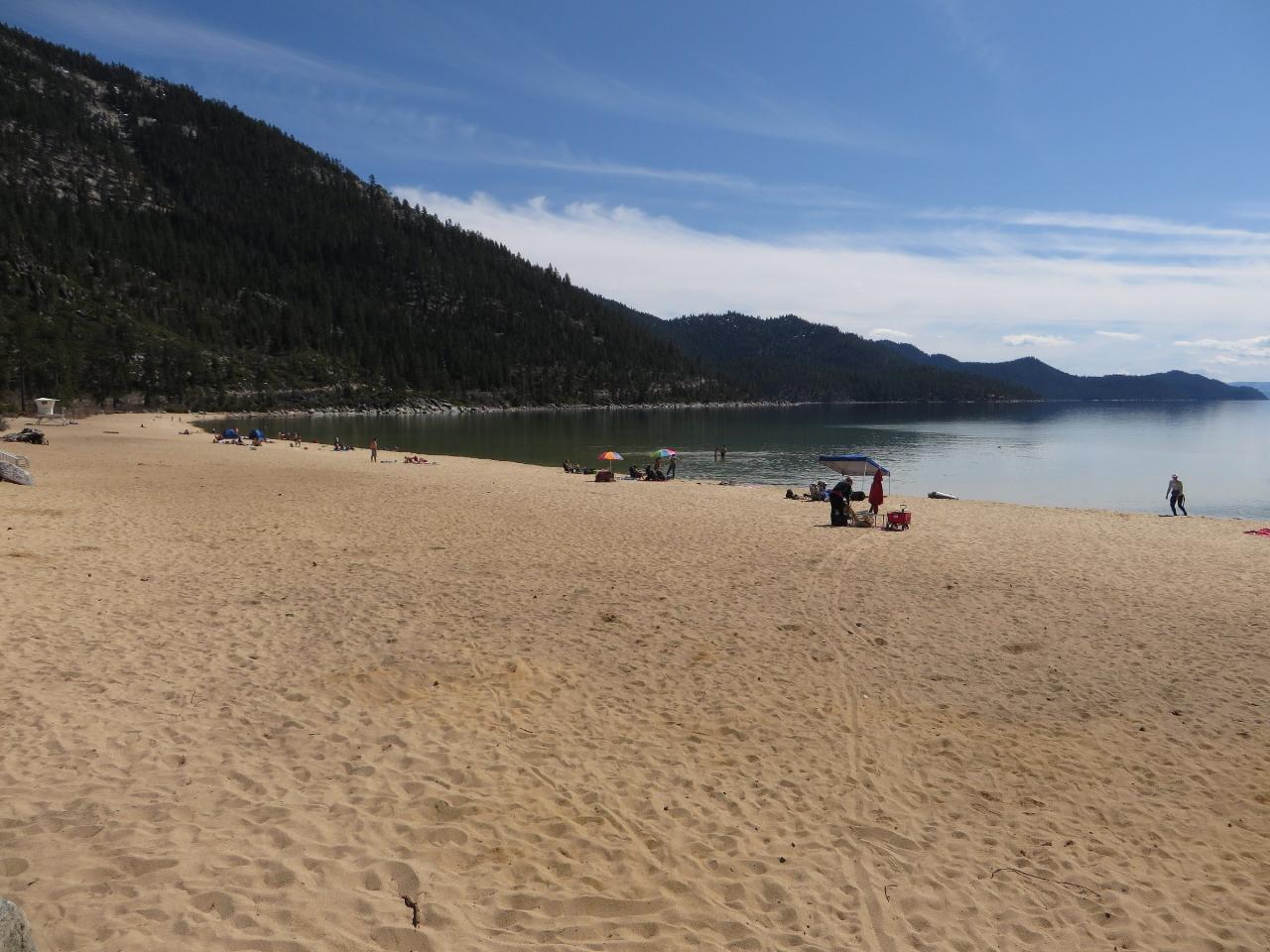
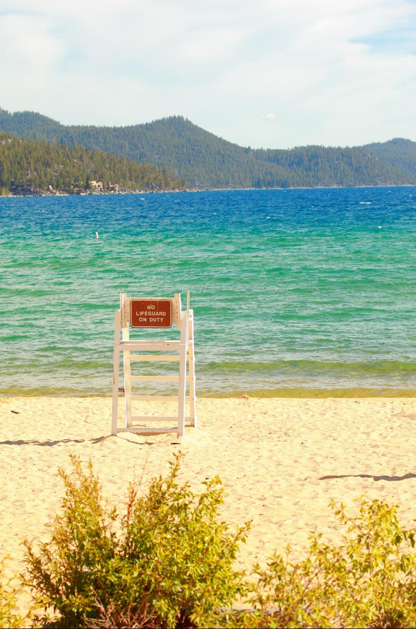
The Main Beach is the swim beach, about 2,500 feet of sand that slopes gently into very clear water. The bottom is sand near shore with scattered granite boulders, and depth increases gradually enough for waders. Divers Cove is smaller and more sheltered, popular with scuba divers and beachgoers alike, and hard-bottomed boats are not allowed there. Kayaks and paddleboards launch through a buoyed corridor at the south end of the Main Beach. The park runs a Beach Patrol from Memorial Day weekend through Labor Day. Lake Tahoe is cold even in August, with surface water usually in the 60s Fahrenheit and much colder a short way down.
This is not a free swim spot. The day-use fee is $10 per vehicle with Nevada plates and $15 for out-of-state vehicles, or $2 per bicycle for those riding in. Hours are 8 a.m. to one hour after sunset. From May 15 through September 30, a day-use reservation through ReserveNevada.com is required to drive in between 8:00 and 10:30 a.m. Booking ahead of the day adds a $5 non-refundable fee; same-day bookings do not. After 10:30 a.m. entry is first come, first served until the lots fill. When the entrance booth is unstaffed, a self-pay machine takes credit cards. The boat launch costs $20 ($25 for non-Nevada vehicles) and is closed for the season as of October 2026.
The park warns specifically about cold-water drowning, and the risk climbs in the afternoon when wind builds waves across the open lake. Swimmers who head out toward the boulder fields should expect cold shock, submerged rocks and boat traffic beyond the buoys. Glass is banned on the beaches, charcoal and wood fires are banned everywhere in the park, and even propane grills are off-limits on red flag days. Dogs are allowed only from October 15 to April 15, on a leash no longer than six feet. There is no camping.
Away from the water there is a visitor center and gift shop, the Kokanee Bar and Grill snack deck, and a shaded picnic area under cedars and Jeffrey pines with tables and paved paths. The one-third-mile Sand Point Nature Trail is wheelchair accessible, and a half-mile trail runs north to Memorial Point. A concession rents kayaks and paddleboards in summer, the park lends an all-terrain Trackchair from the office, and the Lake Tahoe Shakespeare Festival stages plays at its lakeside theater every July and August.
More Information
Be courteous, informed, and prepared. Read trailhead guidelines, stay on the trail, and don't feed the wildlife.
Read More
- Plan Ahead and Prepare
- Travel & camp on durable surfaces
- Dispose of waste properly
- Leave what you find
- Minimize campfire impacts
- Respect wildlife
- Be considerate of other visitors
Directions
From Incline Village
- Head east on NV-28 E/
Tahoe Blvd toward Tahoe Blvd Continue to follow NV-28 E(4.6 mi) - Turn right onto Park AveRestricted usage road(0.3 mi)
- Turn rightRestricted usage road(190 ft)
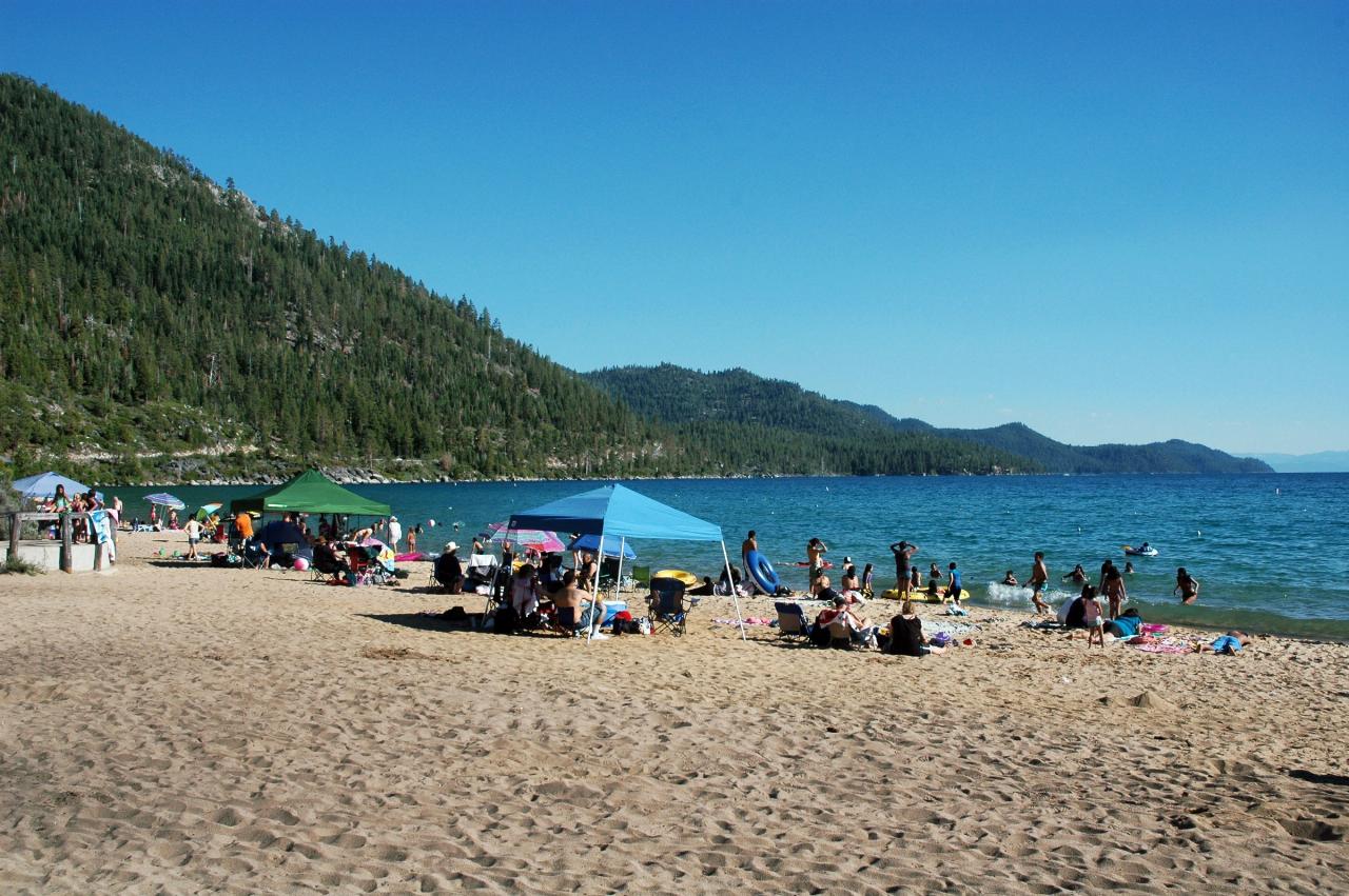
 Swimmers and beach shelters on the Main Beach at Sand Harbor on a summer afternoon. courtesy of DimiTalen↗ (CC BY-SA 3.0↗)
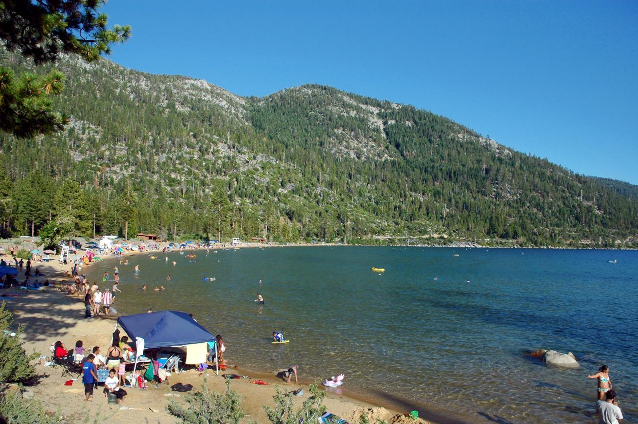
 The curve of the Main Beach shoreline with swimmers and paddlers in the shallows. courtesy of DimiTalen↗ (CC BY-SA 3.0↗)
 Clear, rippled shallows over the sandy bottom at Sand Harbor. courtesy of Blake Everett Carroll↗ (CC BY-SA 4.0↗)
 The wide sand beach at Sand Harbor sloping down to the lake. courtesy of Ken Lund from Reno, Nevada, USA↗ (CC BY-SA 2.0↗)
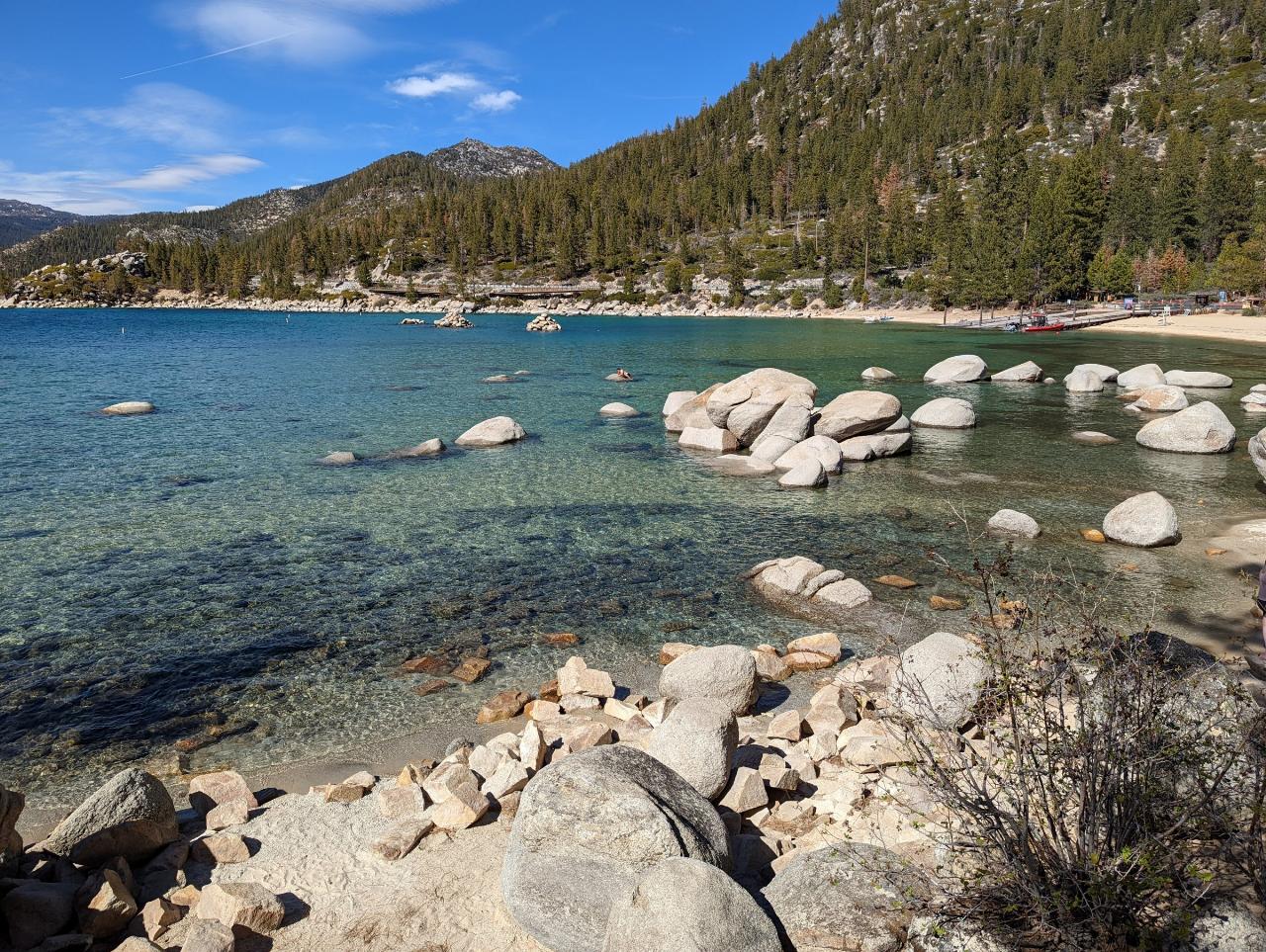
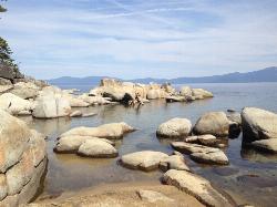
 Granite boulders in the clear water of the cove beside Sand Point. courtesy of Blake Everett Carroll↗ (CC BY-SA 4.0↗)
 A lifeguard stand posted No Lifeguard on Duty on the beach at Sand Harbor. courtesy of Pink Sherbet Photography from USA↗ (CC BY 2.0↗)
 Evening light on the beach and shoreline at Sand Harbor. courtesy of Ken Lund from Reno, Nevada, USA↗ (CC BY-SA 2.0↗)
Other Swimming Holes, Hiking Trails, and Kayaking Areas Nearby
Skunk Harbor
Carson City, Nevada
4.7 miles SA forest service road hike from the 28 freeway to a secluded beach area near Carson City with mountain views, a historic building, and a marker — dogs welcome.
Hike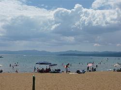
Kings Beach State Recreation Area
Kings Beach
5.8 miles NWA wide sand beach with a shallow, gently sloping entry on Lake Tahoe's north shore, run by California State Parks in downtown Kings Beach. Parking costs $3 an hour or $10 a day, charged year round.
Kayak, Swim
Lake Forest Beach
Tahoe City
10.0 miles WA free public beach at the end of Bristlecone Street, owned by Placer County and run by the Tahoe City Public Utility District. Sandy, pine shaded and genuinely quiet, with the one real constraint being how few cars fit at the end of the road.
Camp, Canoe, Kayak, Swim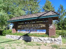
Zephyr Cove Park
Glenbrook, Nevada
12.8 miles SSix tennis courts, disc golf, a sledding hill, a beach, and a fishing pond all at one free park make Zephyr Cove one of Lake Tahoe's most versatile family hangouts.
Camp, Canoe, Disc Golf, Hike, Horseback, Kayak, Swim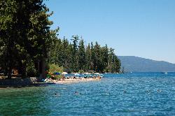
Sugar Pine Point Beach
Tahoma
13.9 miles SWA quarter-mile walk from the parking lot puts you on a sand beach at the foot of Ed Z'berg Sugar Pine Point State Park, where General Creek meets Lake Tahoe and the water runs clear enough to read the bottom. It is also genuinely cold, even in August.
Camp, Hike, Kayak, Swim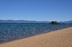
Nevada Beach Campground
Zephyr Cove
15.0 miles SA mile of wide, coarse granite sand on the Nevada shore of Lake Tahoe, with a long shallow shelf that makes it one of the easiest big beaches on the lake to swim from. The Forest Service concessionaire charges a per vehicle day use fee at the Elks Point R
Camp, Hike, Kayak, Swim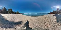
Lester Beach
South Lake Tahoe
16.3 miles SWLester Beach is the sandy main swim beach at D. L. Bliss State Park on Lake Tahoe's west shore, with clear, cold, shallow water and a $10 per vehicle day-use fee in season.
Camp, Canoe, Hike, Kayak, Swim 4.1 mi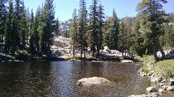
Shirley Lake Canyon Trail
Olympic Valley, California
16.7 miles WA 2.5-mile hike from Squaw Valley Village past streams and waterfalls to a pure Sierra lake — rocky near the top, with a free gondola ride back down from High Camp as a reward.
Hike, Swim
Shirley Canyon
Olympic Valley, California
17.2 miles WShirley Canyon is widely regarded as one of Lake Tahoe's finest half-day hikes, a spectacular climb up a granite canyon that rises straight out of the base of the Palisades Tahoe ski resort in...
Hike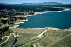
Boca Reservoir Hidden Beach
Truckee, California
17.6 miles NWSandy informal beaches on the northeast shore of Boca Reservoir above Truckee, free to use, windy in the afternoons, and drawn down hard by the end of summer.
Camp, Canoe, Kayak, Kiteboard, Swim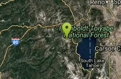
Tahoe Area
Olympic Valley, California
18.2 miles WSwim near Olympic Valley, California
Swim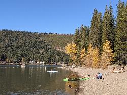
China Cove Beach
Truckee
19.2 miles NWChina Cove Beach is the sandy, shallow corner at the west end of Donner Memorial State Park, on the south shore of Donner Lake outside Truckee. California State Parks runs it, access is open to anyone paying the 10 dollar day use parking fee, and there is
Camp, Canoe, Hike, Kayak, Swim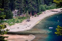
Vikingsholm Beach
South Lake Tahoe
19.3 miles SWSandy beach at the head of Emerald Bay in Emerald Bay State Park, below the 1929 Vikingsholm mansion, reached by a steep one-mile trail. Free to walk in; parking is $10 a day.
Hike, Kayak, Swim 0.4 mi
Glen Alpine Falls
South Lake Tahoe, California
23.2 miles SA roadside waterfall near Lake Tahoe — wider than it is tall — with roadside parking, a scenic overlook, and the option to scramble down the rocks for a closer look.
Hike
Reno Area
McGill, Nevada
23.4 miles NSwim near McGill, Nevada
Swim
Wingfield Park
Reno, Nevada
23.5 miles NAn oasis in downtown Reno where manmade dams and natural rock formations turn the Truckee River into a playground for swimming, kayaking, tubing, and rafting.
Kayak, Swim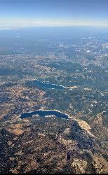
Hell Hole Reservoir
Georgetown
27.6 miles WA 4,630 foot Rubicon River reservoir in the Eldorado National Forest, 51 miles and two hours east of Georgetown, where the boat ramp cove is the only drivable shoreline and the lake drops over 100 feet by September.
Camp, Canoe, Hike, Kayak, Swim
Palisades Creek Trail
Truckee, California
28.0 miles WA difficult Sierra Nevada trail past Palisade Falls — one of the tallest on the American River — with views of Devils Peak, alpine lakes, and 2,000 feet of elevation gain.
Hike, Swim
Heath Falls Overlook Trail
Truckee, California
28.0 miles WHike and Swim near Truckee, California
Hike, Swim
North Fork Falls
Colfax, California
40.4 miles WClear water, cliff-jumping pools, and waterfalls at Sierra Nevada's North Fork Falls — a summer hike to two deep pools with 10-to-25-foot cliffs ready for leaping.
Camp, Hike, SwimNearby Campsites
Lake Forest Beach
Tahoe City
10.0 miles WA free public beach at the end of Bristlecone Street, owned by Placer County and run by the Tahoe City Public Utility District. Sandy, pine shaded and genuinely quiet, with the one real constraint being how few cars fit at the end of the road.
Camp, Canoe, Kayak, Swim
Zephyr Cove Park
Glenbrook, Nevada
12.8 miles SSix tennis courts, disc golf, a sledding hill, a beach, and a fishing pond all at one free park make Zephyr Cove one of Lake Tahoe's most versatile family hangouts.
Camp, Canoe, Disc Golf, Hike, Horseback, Kayak, Swim
Sugar Pine Point Beach
Tahoma
13.9 miles SWA quarter-mile walk from the parking lot puts you on a sand beach at the foot of Ed Z'berg Sugar Pine Point State Park, where General Creek meets Lake Tahoe and the water runs clear enough to read the bottom. It is also genuinely cold, even in August.
Camp, Hike, Kayak, Swim
Nevada Beach Campground
Zephyr Cove
15.0 miles SA mile of wide, coarse granite sand on the Nevada shore of Lake Tahoe, with a long shallow shelf that makes it one of the easiest big beaches on the lake to swim from. The Forest Service concessionaire charges a per vehicle day use fee at the Elks Point R
Camp, Hike, Kayak, Swim
Lester Beach
South Lake Tahoe
16.3 miles SWLester Beach is the sandy main swim beach at D. L. Bliss State Park on Lake Tahoe's west shore, with clear, cold, shallow water and a $10 per vehicle day-use fee in season.
Camp, Canoe, Hike, Kayak, Swim
Boca Reservoir Hidden Beach
Truckee, California
17.6 miles NWSandy informal beaches on the northeast shore of Boca Reservoir above Truckee, free to use, windy in the afternoons, and drawn down hard by the end of summer.
Camp, Canoe, Kayak, Kiteboard, Swim
China Cove Beach
Truckee
19.2 miles NWChina Cove Beach is the sandy, shallow corner at the west end of Donner Memorial State Park, on the south shore of Donner Lake outside Truckee. California State Parks runs it, access is open to anyone paying the 10 dollar day use parking fee, and there is
Camp, Canoe, Hike, Kayak, Swim
Hell Hole Reservoir
Georgetown
27.6 miles WA 4,630 foot Rubicon River reservoir in the Eldorado National Forest, 51 miles and two hours east of Georgetown, where the boat ramp cove is the only drivable shoreline and the lake drops over 100 feet by September.
Camp, Canoe, Hike, Kayak, Swim
North Fork Falls
Colfax, California
40.4 miles WClear water, cliff-jumping pools, and waterfalls at Sierra Nevada's North Fork Falls — a summer hike to two deep pools with 10-to-25-foot cliffs ready for leaping.
Camp, Hike, Swim


