


Kings Beach State Recreation Area
Kings Beach
Kayak and Swim
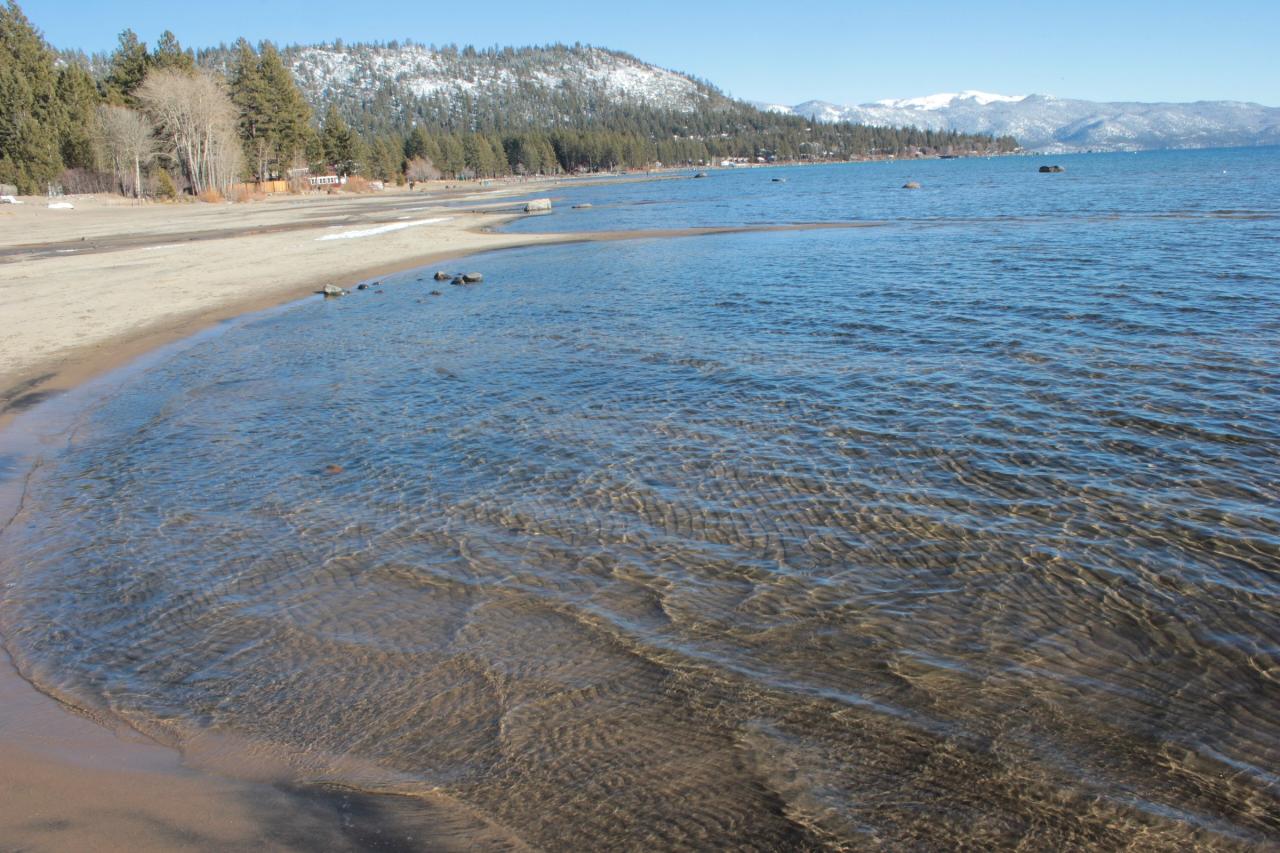
Kings Beach State Recreation Area sits in the middle of downtown Kings Beach, on the California side of Lake Tahoe's north shore, roughly a mile west of the Nevada line at Crystal Bay. California State Parks counts 979 feet of lake frontage here, and nearly all of it is sand rather than the granite boulders that define most of the Tahoe shoreline. That is the whole point of the place. Between the wide sand and the long shallow shelf running out from it, this is one of the few beaches on the lake where a small child can wade in without an adult hovering at arm's length.
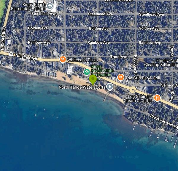
Getting in is about as easy as Tahoe access gets. Highway 28, signed as North Lake Boulevard through town, runs along the back of the beach, and you park and walk about thirty seconds. The main lot is at Bear Street. A second lot sits at the east end near Raccoon Street by the boat ramp. Parking is not free: California State Parks charges $3.00 per hour or $10.00 per vehicle for the day, year round, through automatic pay stations in both lots that accept credit cards only, and the receipt goes on your dash. A California State Parks annual day use pass covers it, including the Tahoe Regional Annual Pass at $75. Buses, RVs and vehicles towing trailers are kept out of the Bear Street lot and sent to the Raccoon Street lot. Both lots run 6 a.m. to 9 p.m.
In July, plan around the lot. Bear Street typically fills by mid morning on a weekend and stays full into late afternoon, and the street parking along Highway 28 through the commercial strip goes not long after. Arriving before 10 a.m. or after 4 p.m. is the difference between a two minute walk and circling downtown.
The swimming is cold-water swimming at altitude. The lake surface sits at about 6,225 feet, so the air is thin, the sun is hard, and you will tire faster than the same effort at sea level would suggest. Water temperature runs in the low 40s Fahrenheit through winter and spring. June is usually mid to high 50s, which is bracing but doable. July climbs through the 60s, and late July into August is the window when the shallow shelf at Kings Beach can push toward 70 degrees, warmer than the open lake because there is so little water depth to heat. September cools off quickly. Even in August, walk out far enough and you drop off the shelf into water that will take your breath.
Two things to watch. Afternoon wind is a genuine feature of this stretch of shoreline, not an occasional nuisance: when California State Parks shelved its planned pier replacement in September 2026, the stated reason was that engineers found the wind and wave forces at this site made the approved design infeasible. Expect chop and whitecaps to build most summer afternoons. The other is boat traffic. A public boat ramp sits at the east edge of the park at the end of Raccoon Street, currently open to non-motorized craft that are clean and dry, and Kings Beach is a busy corner of the lake for powerboats and rentals. Stay inside the marked swim area. California State Parks does not list lifeguard service among the facilities here, so treat the water as unguarded.
The rest of the park is built for families sticking around all day. There are 18 first come, first served picnic tables under Jeffrey pines, restrooms east of the main lot beside the playground and a second set near the boat launch (winterized and closed in the off season), drinking water, a playground, a basketball half court, volleyball poles, and a small outdoor plaza and stage used for permitted events. Watercraft rentals operate out of the boat launch area. Fishing is legal with a California licence, though that same shallow shelf means you are casting a long way to reach any depth. An older pier stands near the centre of the park, but at low lake levels it no longer reaches water, and the replacement is on hold while State Parks pursues the upland improvements from the general plan adopted in October 2018.
Rules here are stricter than at most Tahoe beaches and are actively enforced. No alcohol anywhere in the recreation area. No glass. No dogs on the sand at any time of year, though leashed dogs are welcome on the sidewalks, in the picnic areas, and on the rocky Dog Beach east of the boat ramp. No wood or charcoal fires, under a Sierra District ban covering all State Parks day use areas in the Tahoe basin, with propane and gas grills allowed. No drones, no overnight parking, and no camping: this is a day use park only. Bears move through Kings Beach regularly, so nothing edible stays in a visible car.
The town takes its name from Joe King, the first postmaster when the post office opened in 1937. The North Tahoe Public Utility District ran the beach from 1978 under an agreement with the state, and California State Parks took over direct operation and maintenance on May 15, 2014. The separate North Tahoe Beach and event center a short walk west are still local agency property, so the rules and the parking there are not the same.
More Information

- Plan Ahead and Prepare
- Travel & camp on durable surfaces
- Dispose of waste properly
- Leave what you find
- Minimize campfire impacts
- Respect wildlife
- Be considerate of other visitors
Directions
From Kings Beach
- Head west on Trout Ave toward Deer St (105 ft)
- Turn left onto Deer St (82 ft)
- Turn left onto N Lake Blvd (0.1 mi)
- At the traffic circle, take the 1st exit onto Bear St (335 ft)
- Turn leftDestination will be on the right(285 ft)
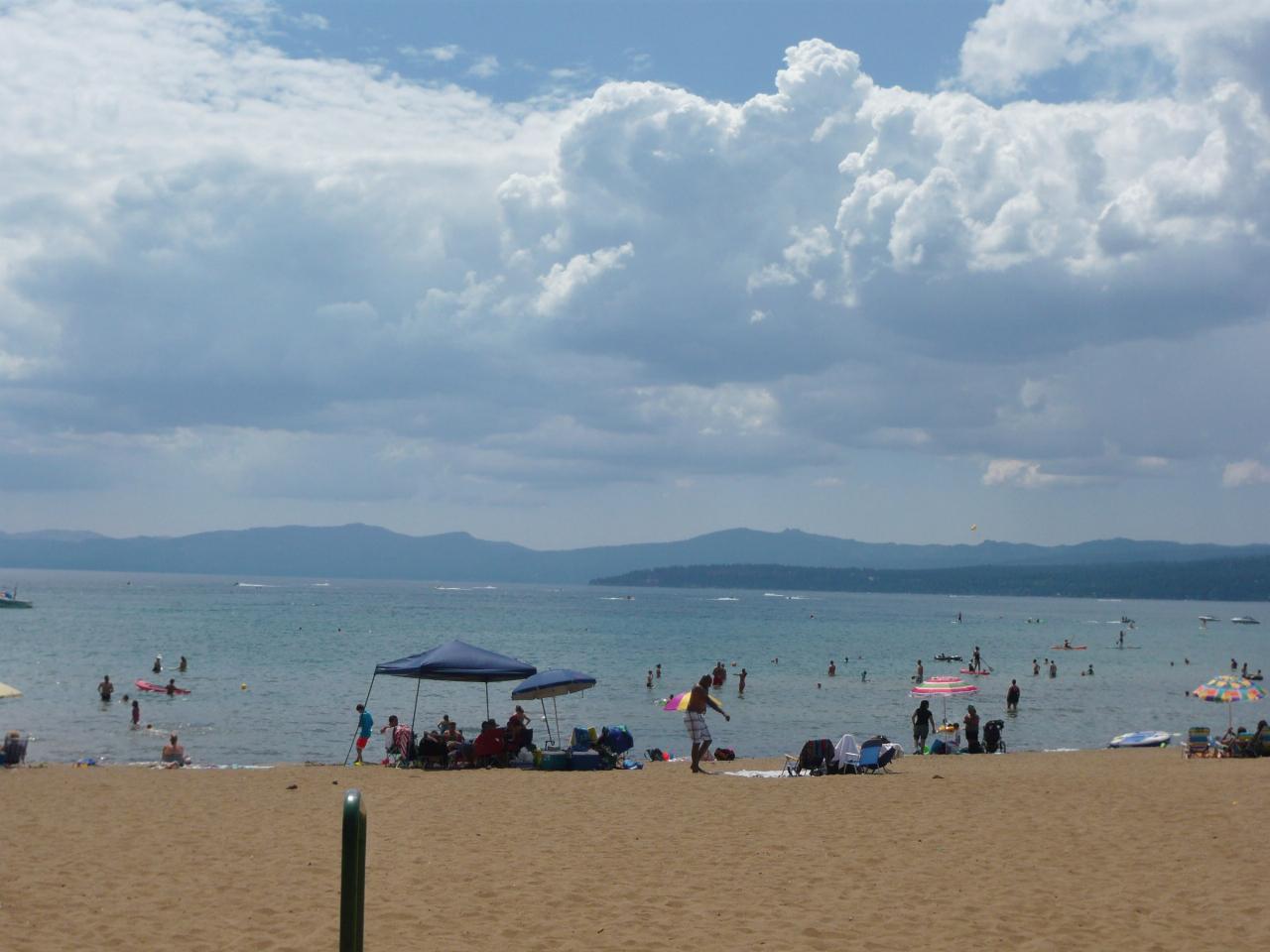
 The sand beach and shallow entry at Kings Beach State Recreation Area on Lake Tahoe's north shore. courtesy of U.S. Department of the Interior↗ (CC BY-SA 2.0↗)
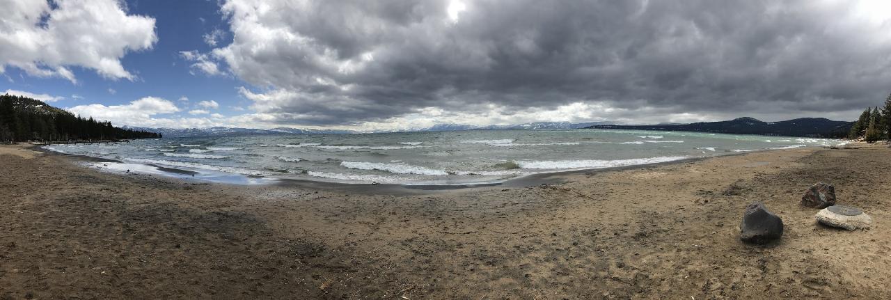
 Wide panorama across the length of the beach at Kings Beach State Recreation Area. courtesy of Reportzite↗ (CC BY-SA 4.0↗)
![[4K] Kings Beach Lake Tahoe - California USA - Wal by Traveling with Andrew](https://i.ytimg.com/vi/IiS7u0pBuf0/default.jpg?width=120&height=90) Rippled sand under a few inches of clear water on the shallow shelf at Kings Beach. courtesy of Annette Teng↗ (CC BY 3.0↗)
Rippled sand under a few inches of clear water on the shallow shelf at Kings Beach. courtesy of Annette Teng↗ (CC BY 3.0↗)
 The east end of the park near Raccoon Street and North Lake Boulevard, close to the boat ramp. courtesy of DimiTalen↗ (CC0↗)
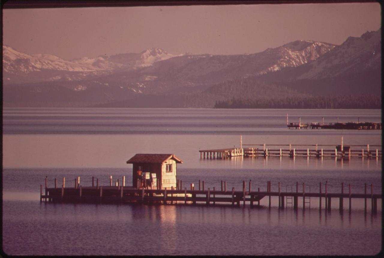
 The shoreline and pier near Kings Beach photographed in May 1972. courtesy of Belinda Rain↗ (Public domain↗)
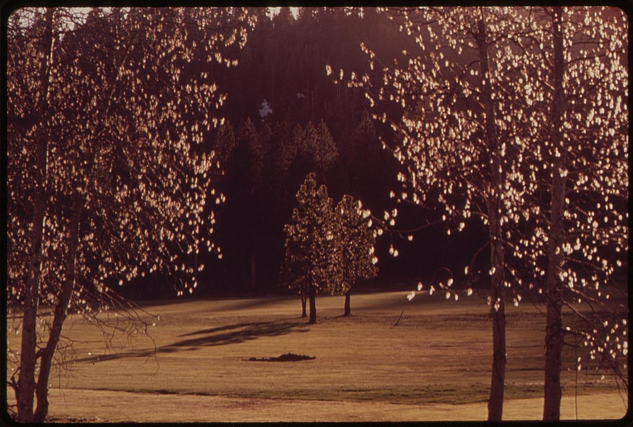
 Lake Tahoe shoreline near Kings Beach, May 1972. courtesy of Belinda Rain↗ (Public domain↗)
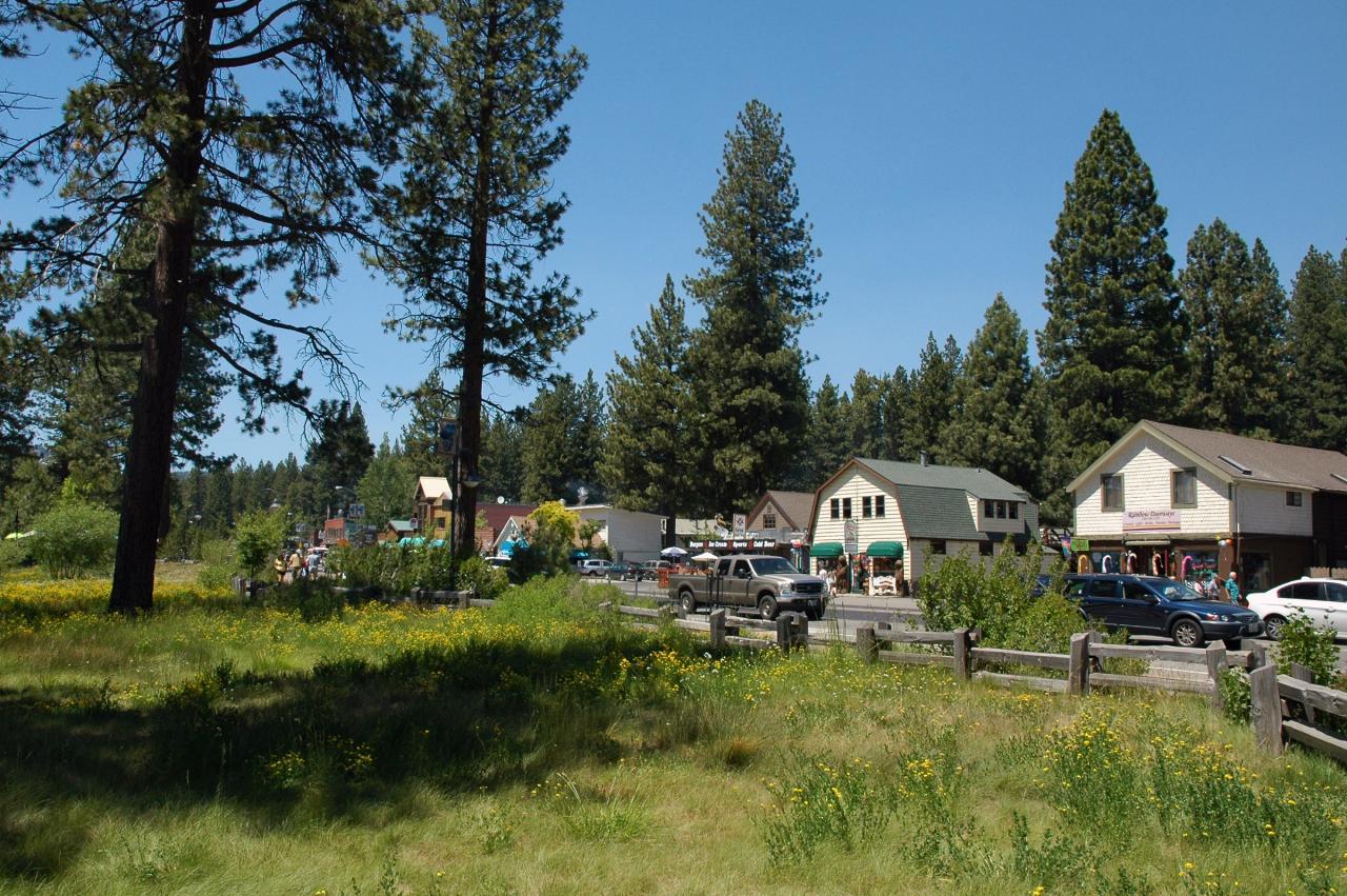
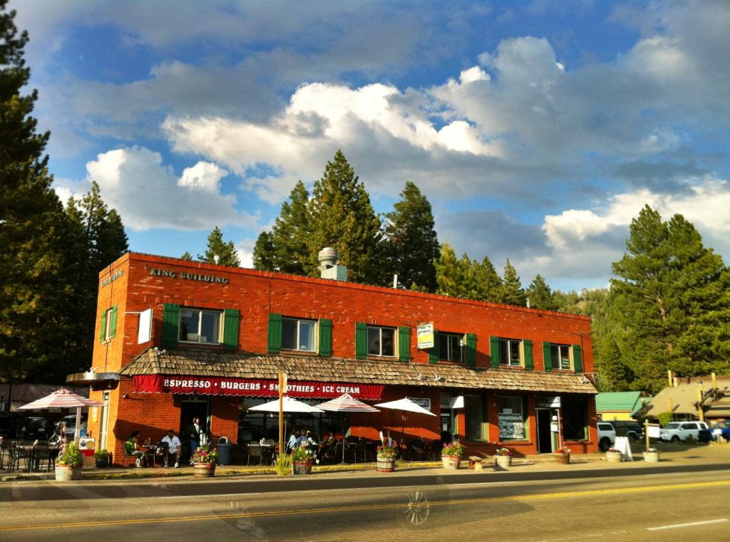
 Downtown Kings Beach along Highway 28, a short walk from the beach. courtesy of Rick Cooper↗ (CC BY 2.0↗)
Other Swimming Holes and Kayaking Areas Nearby
Lake Forest Beach
Tahoe City
6.2 miles SWA free public beach at the end of Bristlecone Street, owned by Placer County and run by the Tahoe City Public Utility District. Sandy, pine shaded and genuinely quiet, with the one real constraint being how few cars fit at the end of the road.
Camp, Canoe, Kayak, Swim 4.1 mi
Shirley Lake Canyon Trail
Olympic Valley, California
11.9 miles WA 2.5-mile hike from Squaw Valley Village past streams and waterfalls to a pure Sierra lake — rocky near the top, with a free gondola ride back down from High Camp as a reward.
Hike, Swim
Boca Reservoir Hidden Beach
Truckee, California
13.1 miles NSandy informal beaches on the northeast shore of Boca Reservoir above Truckee, free to use, windy in the afternoons, and drawn down hard by the end of summer.
Camp, Canoe, Kayak, Kiteboard, Swim
Tahoe Area
Olympic Valley, California
13.4 miles WSwim near Olympic Valley, California
Swim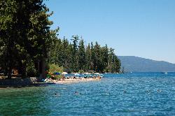
Sugar Pine Point Beach
Tahoma
13.4 miles SA quarter-mile walk from the parking lot puts you on a sand beach at the foot of Ed Z'berg Sugar Pine Point State Park, where General Creek meets Lake Tahoe and the water runs clear enough to read the bottom. It is also genuinely cold, even in August.
Camp, Hike, Kayak, Swim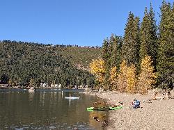
China Cove Beach
Truckee
13.5 miles NWChina Cove Beach is the sandy, shallow corner at the west end of Donner Memorial State Park, on the south shore of Donner Lake outside Truckee. California State Parks runs it, access is open to anyone paying the 10 dollar day use parking fee, and there is
Camp, Canoe, Hike, Kayak, Swim
Zephyr Cove Park
Glenbrook, Nevada
16.2 miles SSix tennis courts, disc golf, a sledding hill, a beach, and a fishing pond all at one free park make Zephyr Cove one of Lake Tahoe's most versatile family hangouts.
Camp, Canoe, Disc Golf, Hike, Horseback, Kayak, Swim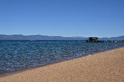
Nevada Beach Campground
Zephyr Cove
18.2 miles SA mile of wide, coarse granite sand on the Nevada shore of Lake Tahoe, with a long shallow shelf that makes it one of the easiest big beaches on the lake to swim from. The Forest Service concessionaire charges a per vehicle day use fee at the Elks Point R
Camp, Hike, Kayak, Swim
Palisades Creek Trail
Truckee, California
22.4 miles WA difficult Sierra Nevada trail past Palisade Falls — one of the tallest on the American River — with views of Devils Peak, alpine lakes, and 2,000 feet of elevation gain.
Hike, Swim
Heath Falls Overlook Trail
Truckee, California
22.4 miles WHike and Swim near Truckee, California
Hike, Swim
Reno Area
McGill, Nevada
22.8 miles NESwim near McGill, Nevada
Swim
Wingfield Park
Reno, Nevada
22.8 miles NEAn oasis in downtown Reno where manmade dams and natural rock formations turn the Truckee River into a playground for swimming, kayaking, tubing, and rafting.
Kayak, Swim
Hell Hole Reservoir
Georgetown
24.1 miles SWA 4,630 foot Rubicon River reservoir in the Eldorado National Forest, 51 miles and two hours east of Georgetown, where the boat ramp cove is the only drivable shoreline and the lake drops over 100 feet by September.
Camp, Canoe, Hike, Kayak, Swim
North Fork Falls
Colfax, California
35.1 miles WClear water, cliff-jumping pools, and waterfalls at Sierra Nevada's North Fork Falls — a summer hike to two deep pools with 10-to-25-foot cliffs ready for leaping.
Camp, Hike, SwimNearby Campsites
Lake Forest Beach
Tahoe City
6.2 miles SWA free public beach at the end of Bristlecone Street, owned by Placer County and run by the Tahoe City Public Utility District. Sandy, pine shaded and genuinely quiet, with the one real constraint being how few cars fit at the end of the road.
Camp, Canoe, Kayak, Swim
Boca Reservoir Hidden Beach
Truckee, California
13.1 miles NSandy informal beaches on the northeast shore of Boca Reservoir above Truckee, free to use, windy in the afternoons, and drawn down hard by the end of summer.
Camp, Canoe, Kayak, Kiteboard, Swim
Sugar Pine Point Beach
Tahoma
13.4 miles SA quarter-mile walk from the parking lot puts you on a sand beach at the foot of Ed Z'berg Sugar Pine Point State Park, where General Creek meets Lake Tahoe and the water runs clear enough to read the bottom. It is also genuinely cold, even in August.
Camp, Hike, Kayak, Swim
China Cove Beach
Truckee
13.5 miles NWChina Cove Beach is the sandy, shallow corner at the west end of Donner Memorial State Park, on the south shore of Donner Lake outside Truckee. California State Parks runs it, access is open to anyone paying the 10 dollar day use parking fee, and there is
Camp, Canoe, Hike, Kayak, Swim
Zephyr Cove Park
Glenbrook, Nevada
16.2 miles SSix tennis courts, disc golf, a sledding hill, a beach, and a fishing pond all at one free park make Zephyr Cove one of Lake Tahoe's most versatile family hangouts.
Camp, Canoe, Disc Golf, Hike, Horseback, Kayak, Swim
Nevada Beach Campground
Zephyr Cove
18.2 miles SA mile of wide, coarse granite sand on the Nevada shore of Lake Tahoe, with a long shallow shelf that makes it one of the easiest big beaches on the lake to swim from. The Forest Service concessionaire charges a per vehicle day use fee at the Elks Point R
Camp, Hike, Kayak, Swim
Hell Hole Reservoir
Georgetown
24.1 miles SWA 4,630 foot Rubicon River reservoir in the Eldorado National Forest, 51 miles and two hours east of Georgetown, where the boat ramp cove is the only drivable shoreline and the lake drops over 100 feet by September.
Camp, Canoe, Hike, Kayak, Swim
North Fork Falls
Colfax, California
35.1 miles WClear water, cliff-jumping pools, and waterfalls at Sierra Nevada's North Fork Falls — a summer hike to two deep pools with 10-to-25-foot cliffs ready for leaping.
Camp, Hike, Swim


