


China Cove Beach
Truckee
Camp, Canoe, Hike, Kayak, and Swim
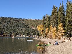
China Cove Beach sits at the southwest end of Donner Memorial State Park, on the south shore of Donner Lake about two miles west of downtown Truckee. California State Parks owns it and runs it. There is no residency requirement and no association gate. Anyone who pays the standard state park day use parking fee can walk down and swim. That is worth stating plainly, because the other well known swimming spot on this lake, West End Beach, belongs to the Truckee Donner Recreation and Park District, charges its own admission, and posts lifeguards. China Cove does not.
The cove itself is the shallow inside corner where the south shore stops running east and bends north toward the west end of the lake. The United States Geological Survey carries it as China Cove, feature 258298, at roughly 5,900 feet. The official park map marks the swimming symbol here. The beach is sand, it shelves out gently, and the shallow water reaches a long way from shore, which is why parents with small kids choose it over the rockier picnic frontage further east. It is not supervised. No lifeguard covers this beach at any time of year, and the water gets cold fast once you swim past the sandbar.
Elevation runs the swimming season. Donner Lake is glacial, fed by snowmelt off Donner Pass, and it warms slowly. June is short swim weather for most people. Late July through early September is the honest window, and even then the layer below the surface stays cold. By late fall the day use restrooms close, and winter buries the south shore in snow.
Day use parking is 10 dollars per vehicle per day, with a 100 dollar per day bus fee. The park honors the Golden Bear, Golden Poppy, Distinguished Veteran, Disabled Discount, State Library and Tahoe Regional passes. Day use areas are open sunrise to sunset. Parking at the cove is a small lot off South Shore Drive plus a gated fire road, so on a hot August Saturday it fills early and most visitors walk in. The Lakeside Interpretive Trail, 1.4 miles of accessible packed gravel with interpretive panels, hugs the shoreline all the way from the visitor center to China Cove. The China Cove Fire Road runs another 0.7 miles of packed dirt and wood chip up to Splitrock Campground, and the Splitrock Trail continues two miles to Michel Pond.
At the cove there are picnic tables on the shore, a portable restroom that State Parks designates as accessible, one designated accessible parking space, and drinking water near the lot. Charcoal and wood fires are banned in the day use areas; propane and gas grills are allowed. Bear resistant food lockers are provided and food must go in them. One rule catches people out: dogs are welcome on the Lakeside Interpretive Trail, the fire roads, the campgrounds and the rest of the Donner Lake shore, but they are not allowed on China Cove Beach itself.
The park campground holds 154 sites across the Creek, Ridge and Splitrock loops, open Memorial Day to mid September as weather allows, with hot showers and no recreational vehicle hookups. Reservations go through ReserveCalifornia. The visitor center, open 10 a.m. to 5 p.m., tells the Donner Party story and the longer story of the Washoe Tribe of Nevada and California, whose ancestral homeland includes this shoreline and whose name for Donner Lake translates as Little Eye.
More Information
Be courteous, informed, and prepared. Read trailhead guidelines, stay on the trail, and don't feed the wildlife.
Read More
- Plan Ahead and Prepare
- Travel & camp on durable surfaces
- Dispose of waste properly
- Leave what you find
- Minimize campfire impacts
- Respect wildlife
- Be considerate of other visitors
Directions
From Truckee
- Head east toward Donner Pass Rd (52 ft)
- Turn left toward Donner Pass Rd (69 ft)
- Turn left onto Donner Pass Rd (0.5 mi)
- At the traffic circle, take the 1st exit and stay on Donner Pass Rd (0.1 mi)
- Turn left to merge onto I-80 W toward Sacramento (1.6 mi)
- Take exit 184 for Donner Pass Rd (0.2 mi)
- Turn left onto Donner Pass Rd (0.2 mi)
- At the traffic circle, continue straight to stay on Donner Pass Rd (0.3 mi)
- Turn left onto Donner Mem Dr/
S Shore Dr (177 ft) - Continue straight onto S Shore DrDestination will be on the right(1.2 mi)
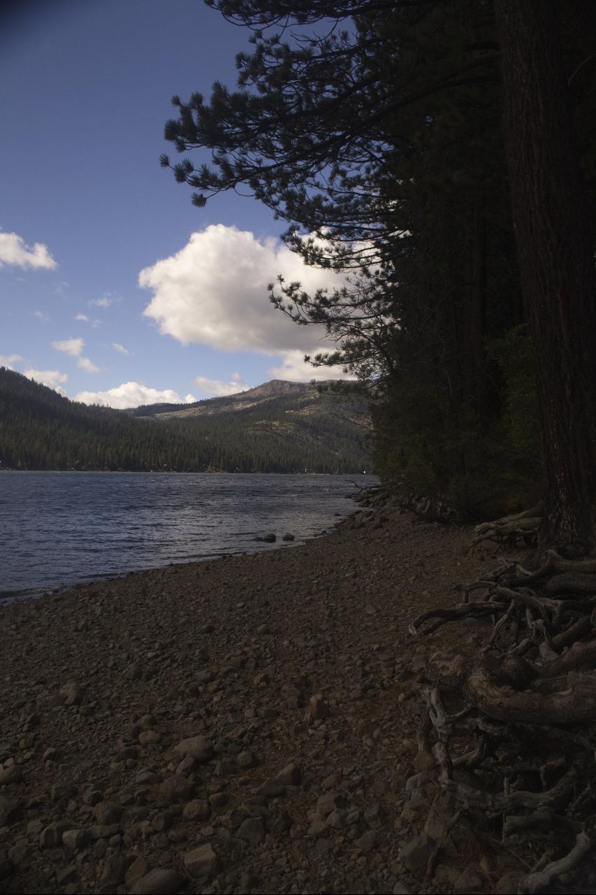
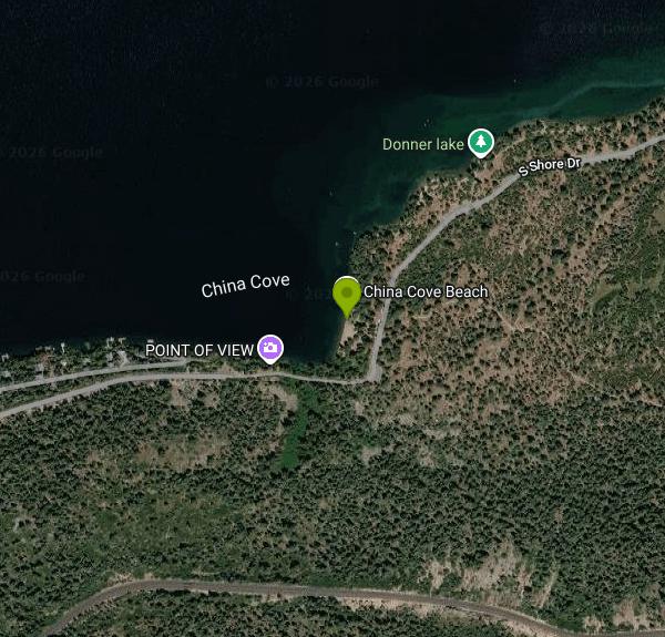 China Cove Beach on the south shore of Donner Lake in Donner Memorial State Park courtesy of Dicklyon↗ (CC BY-SA 4.0↗)
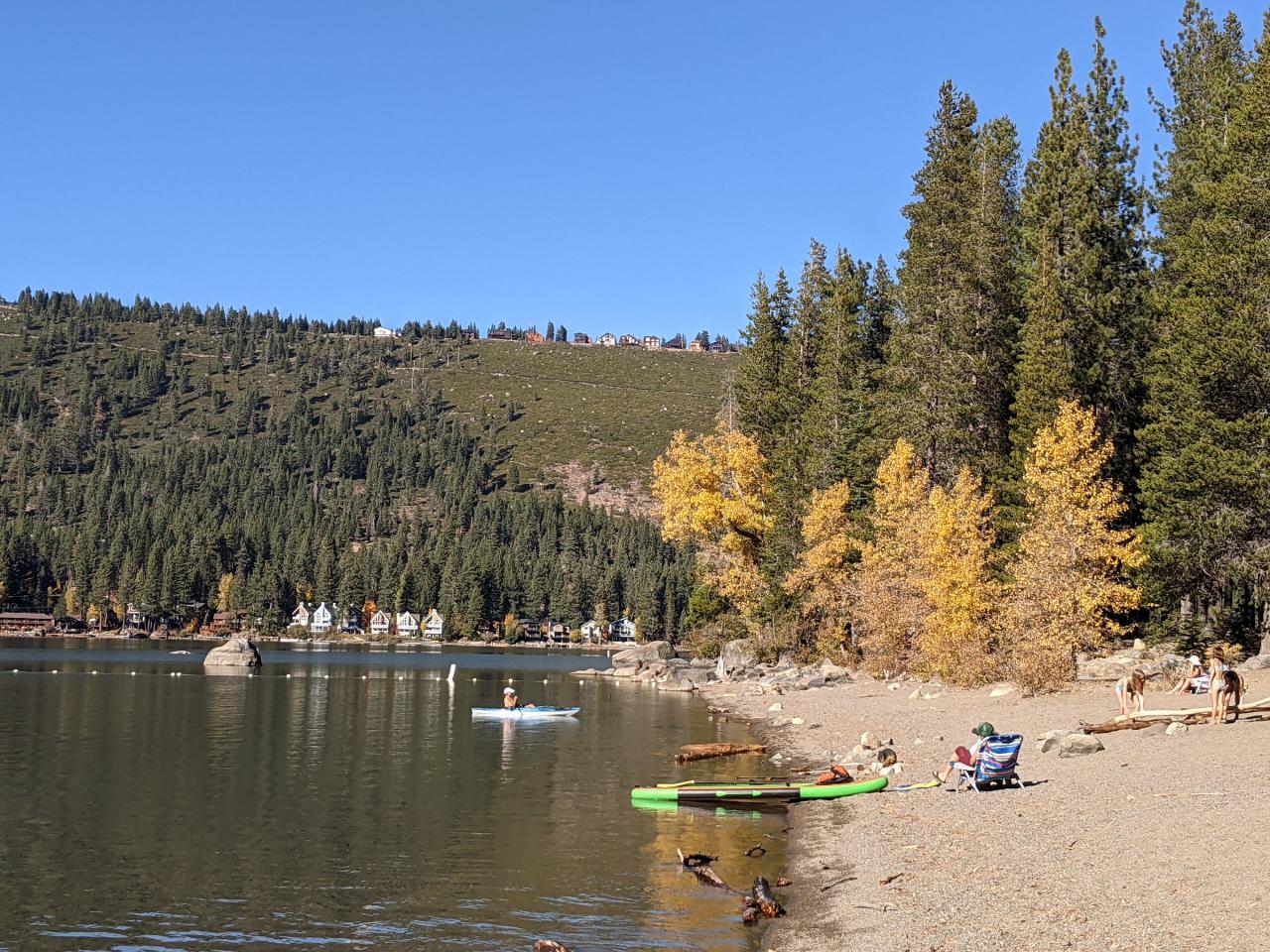
 Donner Lake seen from the south shore near China Cove courtesy of Mark Harpur luckybeanz↗ (CC0↗)
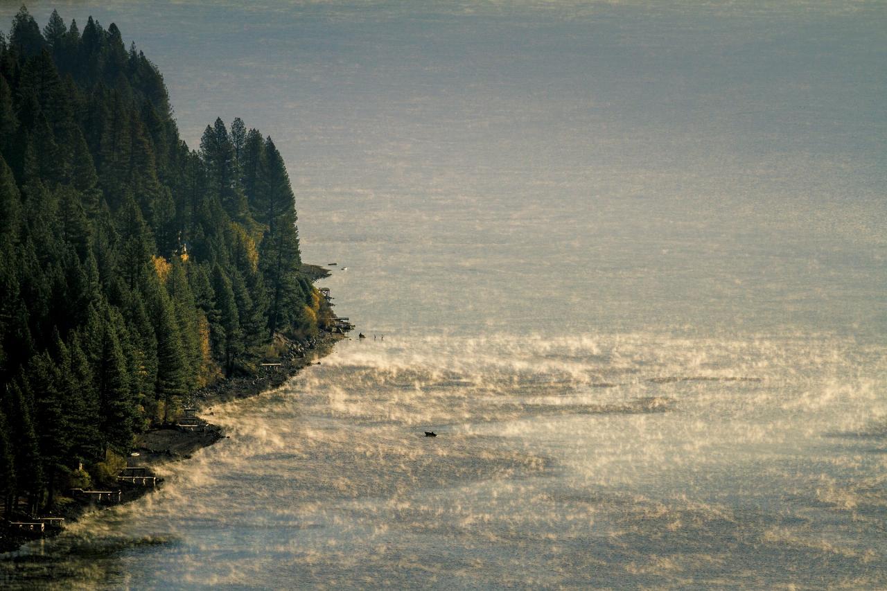
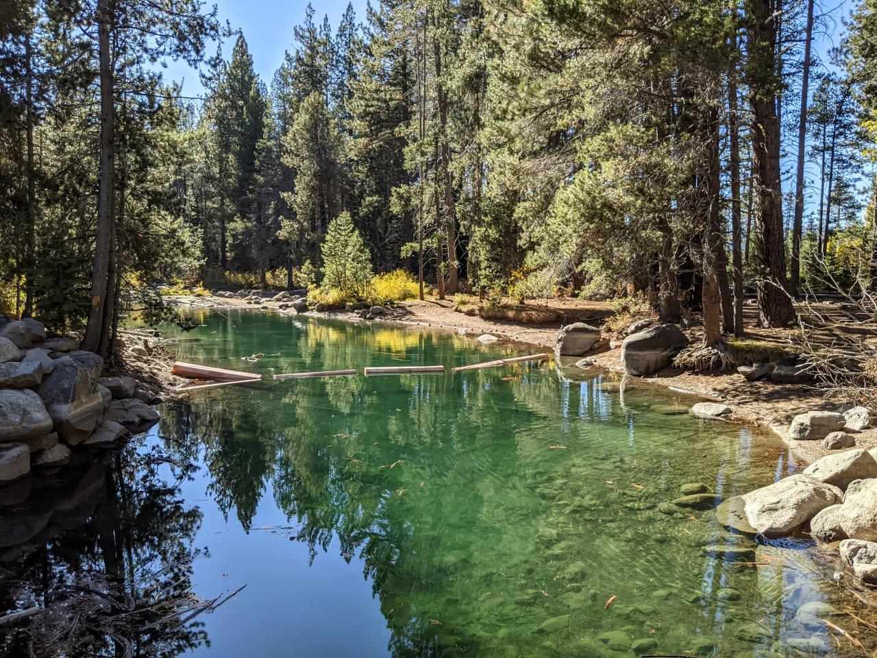
 Donner Creek leaving Donner Lake inside Donner Memorial State Park courtesy of Dicklyon↗ (CC BY-SA 4.0↗)
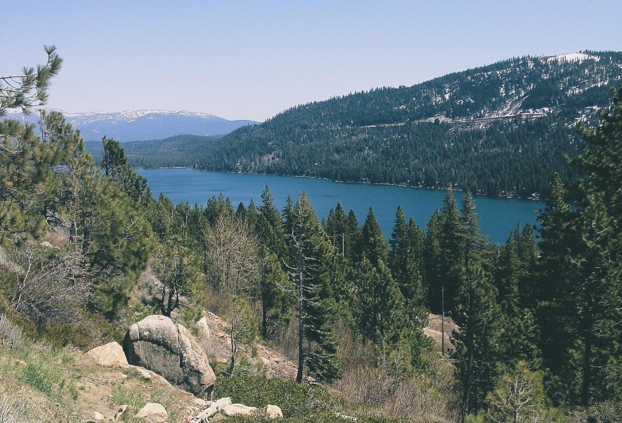
 Donner Lake from the north shore looking toward Donner Pass courtesy of Pacyosemite↗ (CC BY-SA 4.0↗)
 Open water on Donner Lake at Truckee, California courtesy of Tony Webster from Portland, Oregon↗ (CC BY-SA 2.0↗)
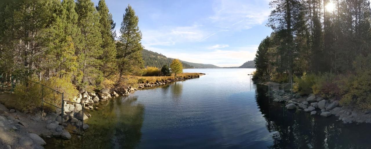
 Donner Creek entering Donner Lake at the west end of the lake courtesy of Dicklyon↗ (CC BY-SA 4.0↗)
Other Swimming Holes, Hiking Trails, Canoeing Areas, and Kayaking Areas Nearby

Shirley Canyon
Olympic Valley, California
8.0 miles SShirley Canyon is widely regarded as one of Lake Tahoe's finest half-day hikes, a spectacular climb up a granite canyon that rises straight out of the base of the Palisades Tahoe ski resort in...
Hike
Tahoe Area
Olympic Valley, California
8.2 miles SSwim near Olympic Valley, California
Swim 4.1 mi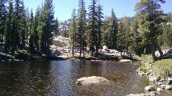
Shirley Lake Canyon Trail
Olympic Valley, California
8.4 miles SA 2.5-mile hike from Squaw Valley Village past streams and waterfalls to a pure Sierra lake — rocky near the top, with a free gondola ride back down from High Camp as a reward.
Hike, Swim
Heath Falls Overlook Trail
Truckee, California
9.9 miles WHike and Swim near Truckee, California
Hike, Swim
Palisades Creek Trail
Truckee, California
9.9 miles WA difficult Sierra Nevada trail past Palisade Falls — one of the tallest on the American River — with views of Devils Peak, alpine lakes, and 2,000 feet of elevation gain.
Hike, Swim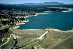
Boca Reservoir Hidden Beach
Truckee, California
11.2 miles NESandy informal beaches on the northeast shore of Boca Reservoir above Truckee, free to use, windy in the afternoons, and drawn down hard by the end of summer.
Camp, Canoe, Kayak, Kiteboard, Swim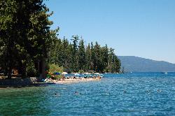
Sugar Pine Point Beach
Tahoma
19.8 miles SA quarter-mile walk from the parking lot puts you on a sand beach at the foot of Ed Z'berg Sugar Pine Point State Park, where General Creek meets Lake Tahoe and the water runs clear enough to read the bottom. It is also genuinely cold, even in August.
Camp, Hike, Kayak, Swim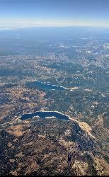
Hell Hole Reservoir
Georgetown
19.9 miles SWA 4,630 foot Rubicon River reservoir in the Eldorado National Forest, 51 miles and two hours east of Georgetown, where the boat ramp cove is the only drivable shoreline and the lake drops over 100 feet by September.
Camp, Canoe, Hike, Kayak, Swim 1.5 mi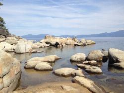
Skunk Harbor
Carson City, Nevada
21.7 miles SEA forest service road hike from the 28 freeway to a secluded beach area near Carson City with mountain views, a historic building, and a marker — dogs welcome.
Hike
North Fork Falls
Colfax, California
23.3 miles WClear water, cliff-jumping pools, and waterfalls at Sierra Nevada's North Fork Falls — a summer hike to two deep pools with 10-to-25-foot cliffs ready for leaping.
Camp, Hike, Swim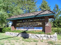
Zephyr Cove Park
Glenbrook, Nevada
27.0 miles SESix tennis courts, disc golf, a sledding hill, a beach, and a fishing pond all at one free park make Zephyr Cove one of Lake Tahoe's most versatile family hangouts.
Camp, Canoe, Disc Golf, Hike, Horseback, Kayak, Swim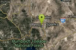
Reno Area
McGill, Nevada
27.1 miles NESwim near McGill, Nevada
Swim
Wingfield Park
Reno, Nevada
27.2 miles NEAn oasis in downtown Reno where manmade dams and natural rock formations turn the Truckee River into a playground for swimming, kayaking, tubing, and rafting.
Kayak, Swim 0.4 mi
Glen Alpine Falls
South Lake Tahoe, California
31.9 miles SA roadside waterfall near Lake Tahoe — wider than it is tall — with roadside parking, a scenic overlook, and the option to scramble down the rocks for a closer look.
Hike 0.1 mi
Edwards Crossing
Nevada City, California
39.1 miles WDeep blue water, rock cliffs, and a sandy beach on the Yuba River — with a half-mile walk from the parking lot and cliff jumping spots up to 20 feet deep.
Hike, SwimNearby Campsites
Boca Reservoir Hidden Beach
Truckee, California
11.2 miles NESandy informal beaches on the northeast shore of Boca Reservoir above Truckee, free to use, windy in the afternoons, and drawn down hard by the end of summer.
Camp, Canoe, Kayak, Kiteboard, Swim
Sugar Pine Point Beach
Tahoma
19.8 miles SA quarter-mile walk from the parking lot puts you on a sand beach at the foot of Ed Z'berg Sugar Pine Point State Park, where General Creek meets Lake Tahoe and the water runs clear enough to read the bottom. It is also genuinely cold, even in August.
Camp, Hike, Kayak, Swim
Hell Hole Reservoir
Georgetown
19.9 miles SWA 4,630 foot Rubicon River reservoir in the Eldorado National Forest, 51 miles and two hours east of Georgetown, where the boat ramp cove is the only drivable shoreline and the lake drops over 100 feet by September.
Camp, Canoe, Hike, Kayak, Swim
North Fork Falls
Colfax, California
23.3 miles WClear water, cliff-jumping pools, and waterfalls at Sierra Nevada's North Fork Falls — a summer hike to two deep pools with 10-to-25-foot cliffs ready for leaping.
Camp, Hike, Swim
Zephyr Cove Park
Glenbrook, Nevada
27.0 miles SESix tennis courts, disc golf, a sledding hill, a beach, and a fishing pond all at one free park make Zephyr Cove one of Lake Tahoe's most versatile family hangouts.
Camp, Canoe, Disc Golf, Hike, Horseback, Kayak, Swim


